Cherokee County, Alabama is a county located in the northeastern part of the U.S. state of Alabama. As of the 2020 census, the population was 24,971. Its county seat is Centre. The county is named for the Cherokee tribe.
| Name: | Cherokee County |
|---|---|
| FIPS code: | 01-019 |
| State: | Alabama |
| Founded: | January 9, 1836 |
| Named for: | Cherokee Nation |
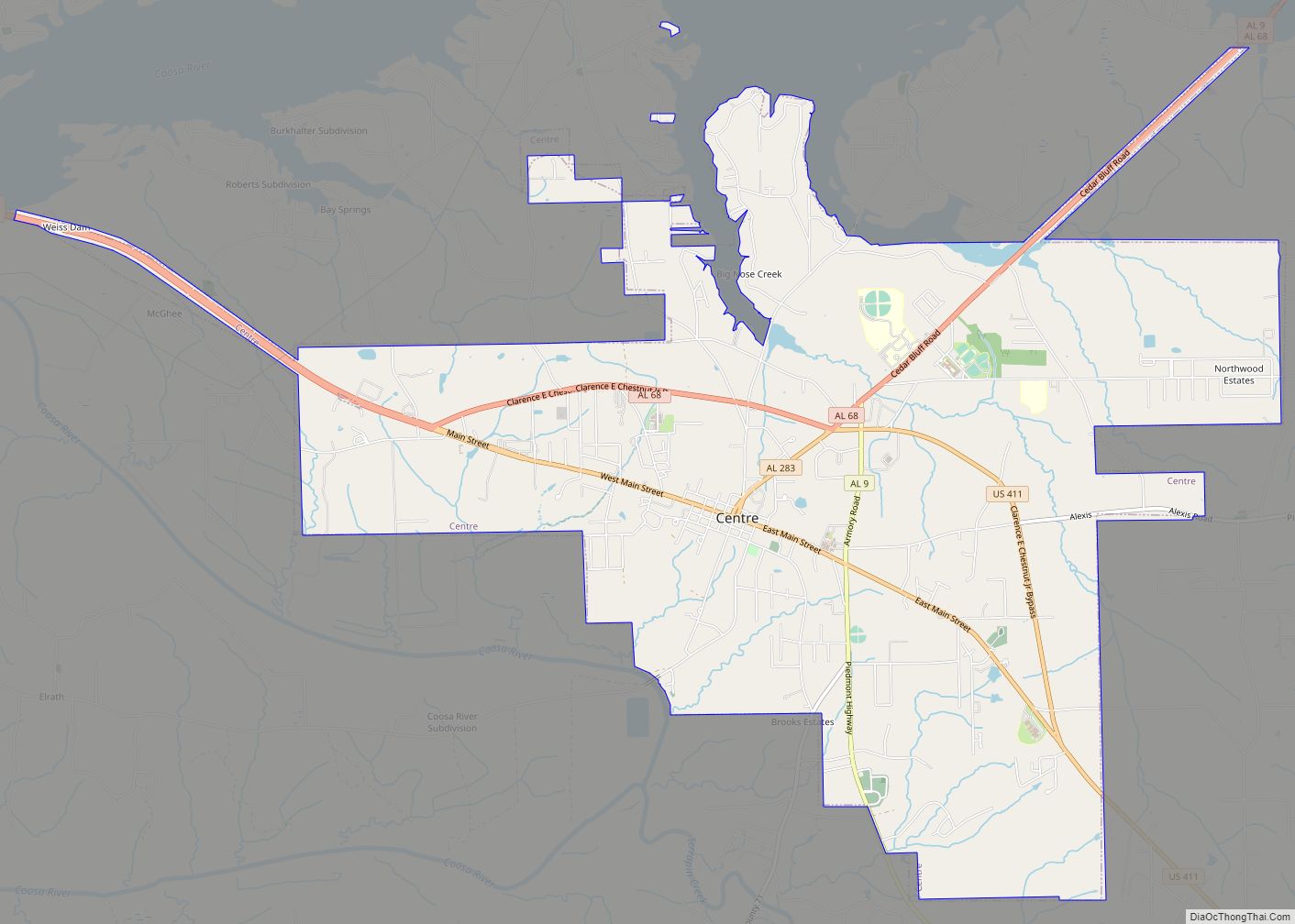
| Seat: | Centre |
| Largest city: | Centre |
| Total Area: | 600 sq mi (2,000 km²) |
| Land Area: | 554 sq mi (1,430 km²) |
| Total Population: | 24,971 |
| Population Density: | 42/sq mi (16/km²) |
| Time zone: | UTC−6 (Central) |
| Summer Time Zone (DST): | UTC−5 (CDT) |
| Website: | www.cherokeecounty-al.gov |
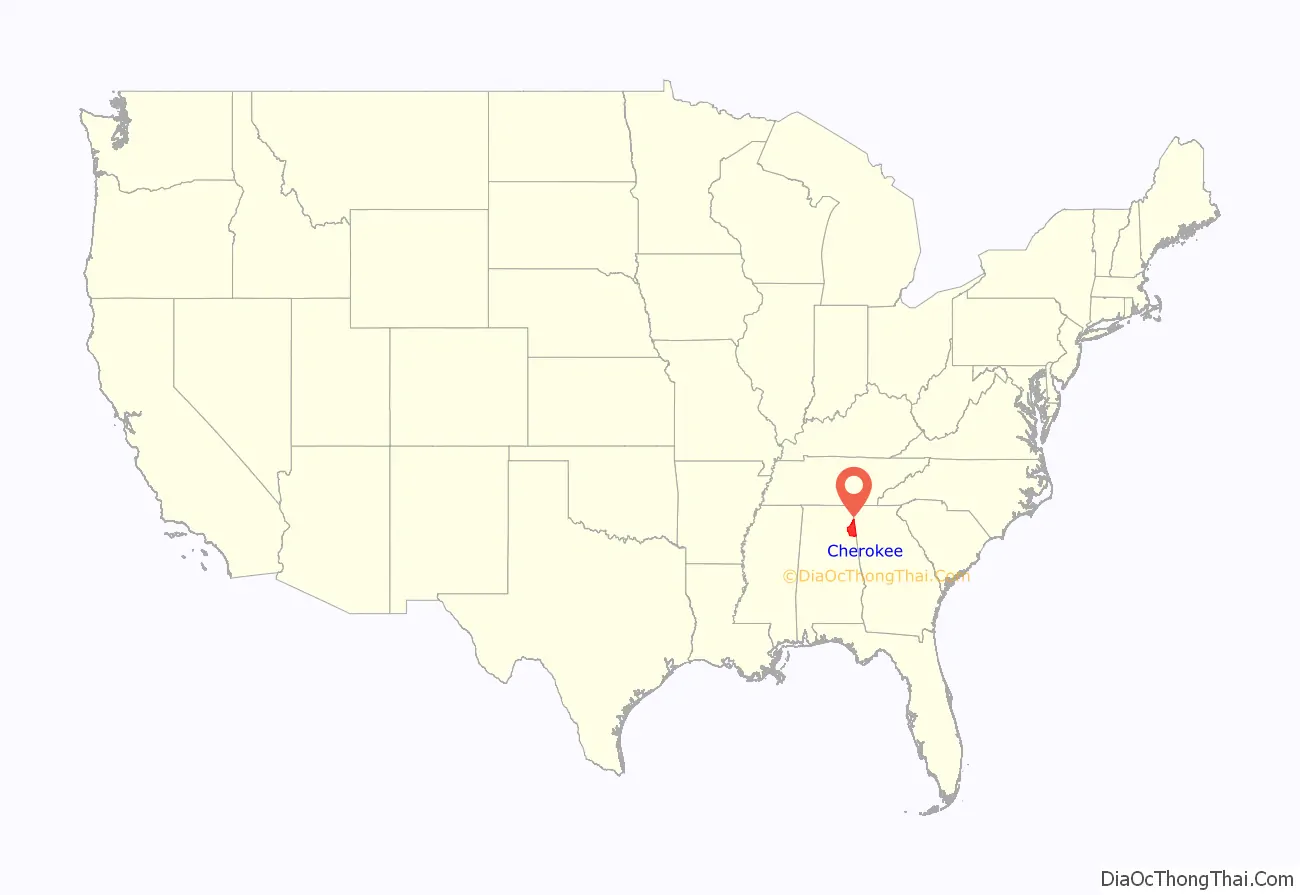
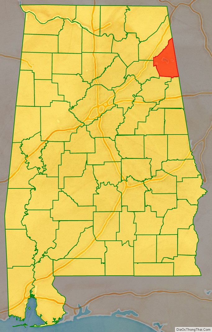
Cherokee County location map. Where is Cherokee County?
History
The area included in today’s Cherokee County, for centuries, had belonged to the Muscogee (Creek) Nation of Native Americans. Cherokees began moving into the area a generation before the forced Indian Removal. To this day, there are few Native Americans in Cherokee County.
On January 9, 1836, the Alabama legislature created Cherokee County with its present boundaries. Two years later, the United States government removed, by force, all Cherokees who had refused to leave on what would become known as the Trail of Tears.
Cherokee County was in the news again on Palm Sunday, March 27, 1994, when it was hit by a F4 tornado. Goshen United Methodist Church was destroyed only twelve minutes after the National Weather Service at Birmingham had issued a warning for northern Calhoun, southeastern Etowah, and southern Cherokee counties.
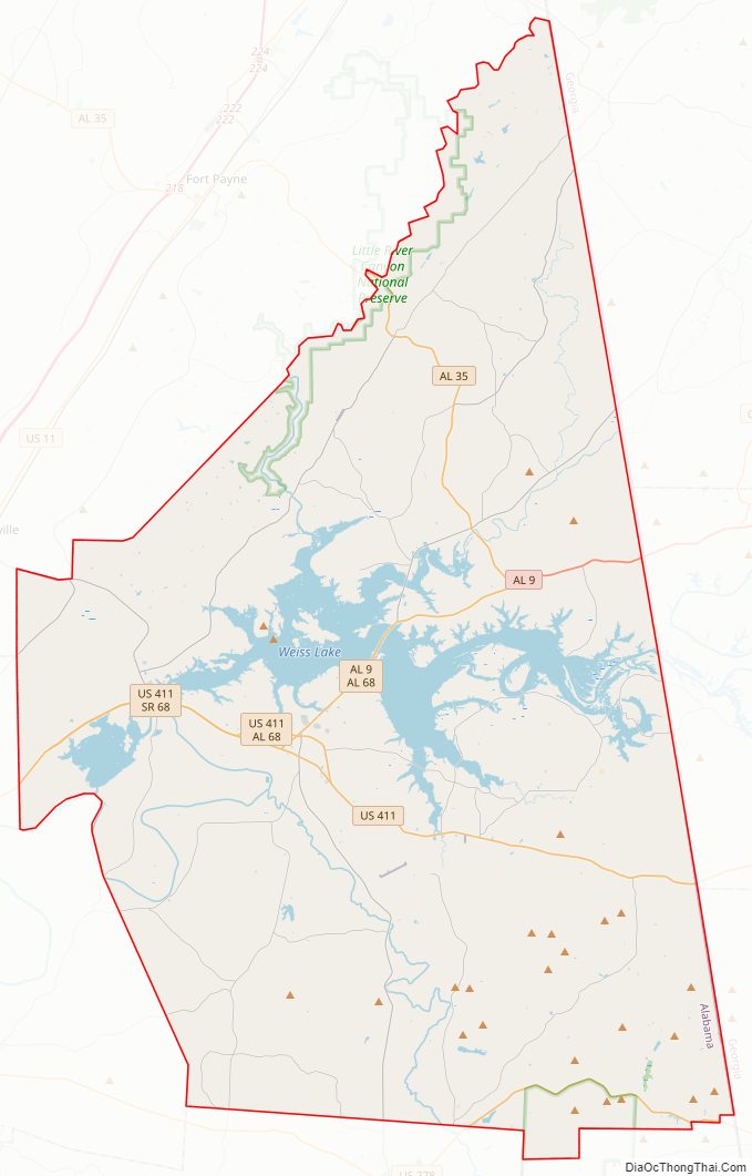
Cherokee County Road Map
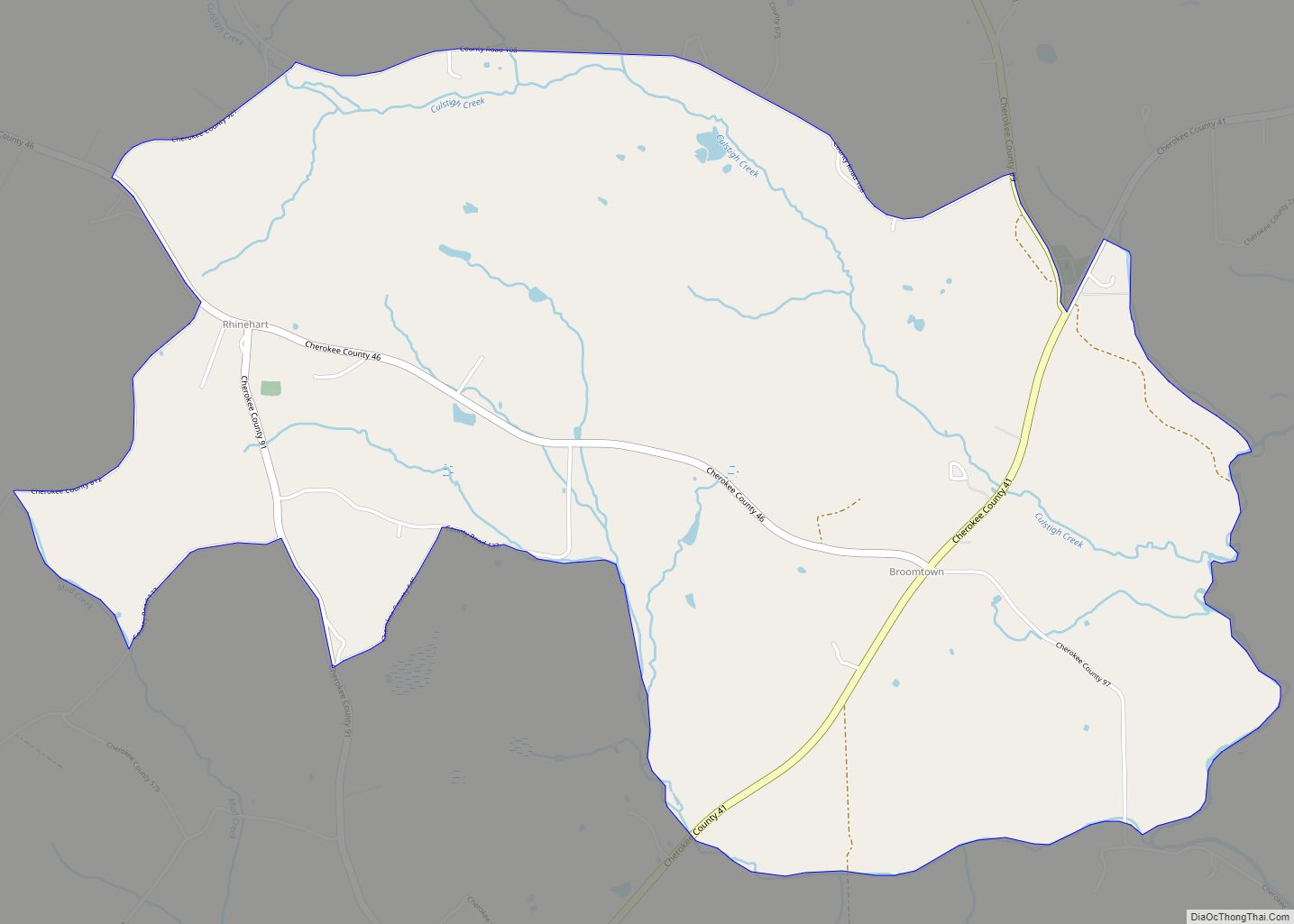
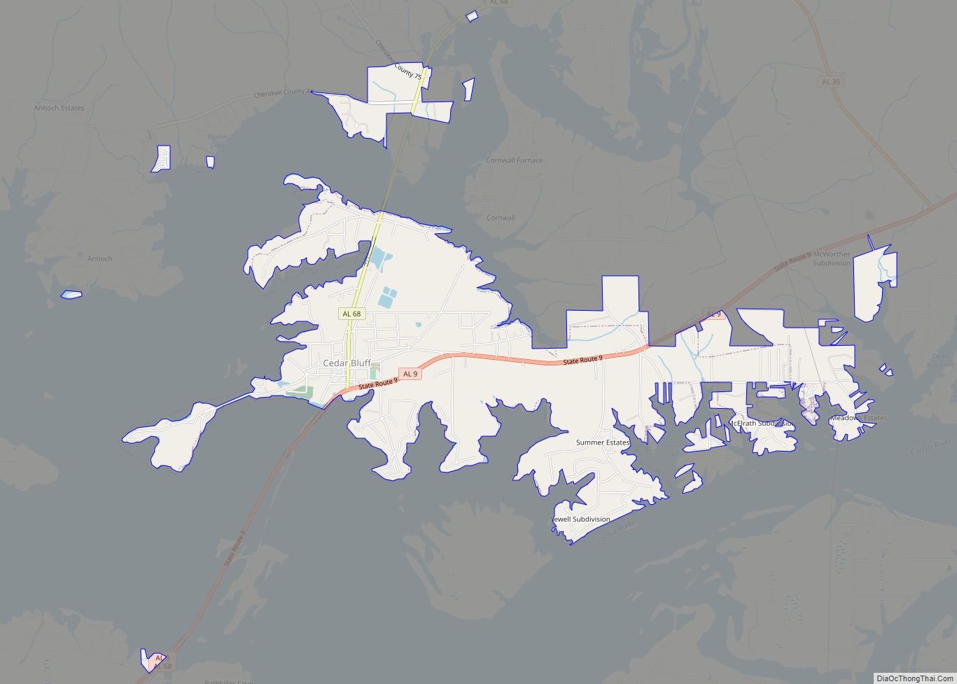
Geography
According to the 2000 census, the county has a total area of 600 square miles (1,600 km), of which 554 square miles (1,430 km) (or 92.19%) is land and 46 square miles (120 km) (7.7%) is water. It is the second-smallest county in Alabama by land area.
Major highways
- U.S. Highway 278
- U.S. Highway 411
- State Route 9
- State Route 35
- State Route 68
- State Route 273
- State Route 283
Adjacent counties
- DeKalb County – north
- Chattooga County, Georgia – northeast
- Floyd County, Georgia – east
- Polk County, Georgia – southeast
- Cleburne County – south
- Calhoun County – south
- Etowah County – west
National protected areas
- Little River Canyon National Preserve (part)
- Talladega National Forest (part)
Water Features
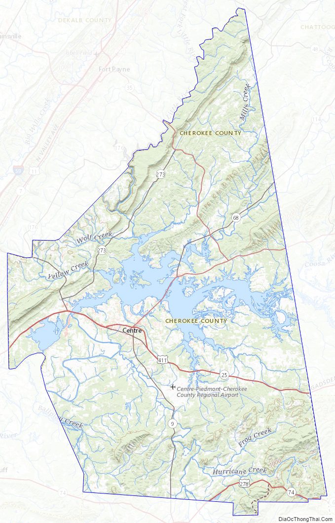
- The Coosa River flows through the county, much of it now part of Weiss Lake.
Cherokee County Topographic Map
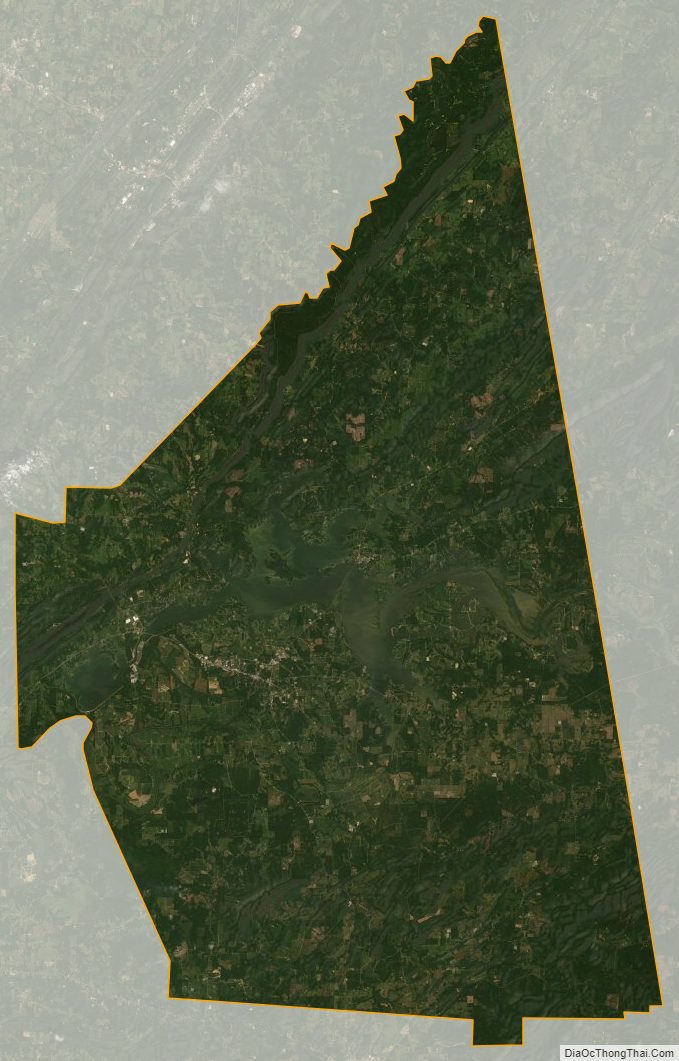
Cherokee County Satellite Map
Cherokee County Outline Map