Gaylesville is a town in Cherokee County, Alabama, United States. The population was 144 at the 2010 census.
| Name: | Gaylesville town |
|---|---|
| LSAD Code: | 43 |
| LSAD Description: | town (suffix) |
| State: | Alabama |
| County: | Cherokee County |
| Elevation: | 594 ft (181 m) |
| Total Area: | 1.42 sq mi (3.69 km²) |
| Land Area: | 1.39 sq mi (3.59 km²) |
| Water Area: | 0.04 sq mi (0.09 km²) |
| Total Population: | 170 |
| Population Density: | 122.57/sq mi (47.31/km²) |
| ZIP code: | 35973 |
| Area code: | 256 |
| FIPS code: | 0129296 |
| GNISfeature ID: | 0118879 |
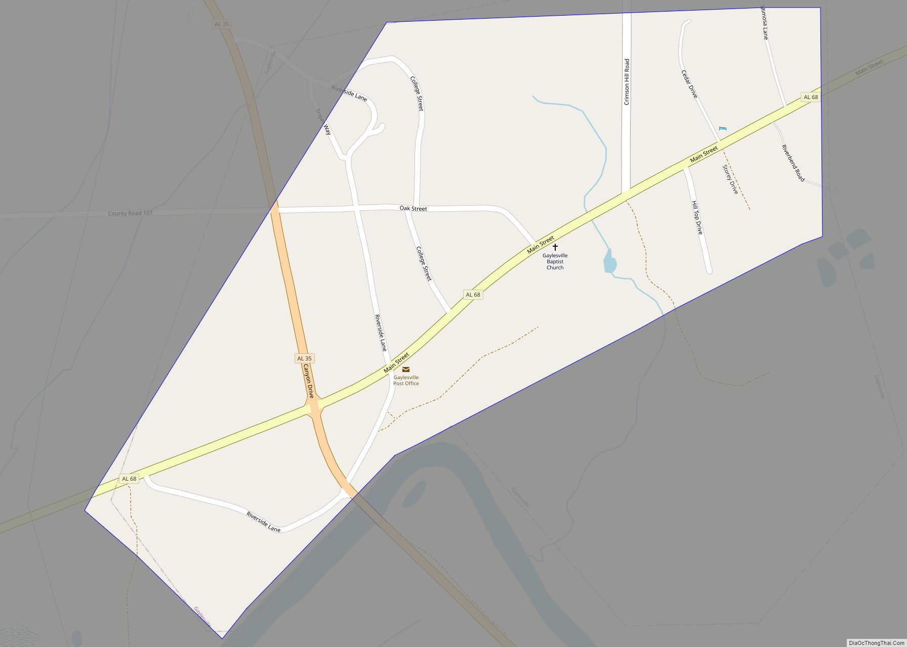
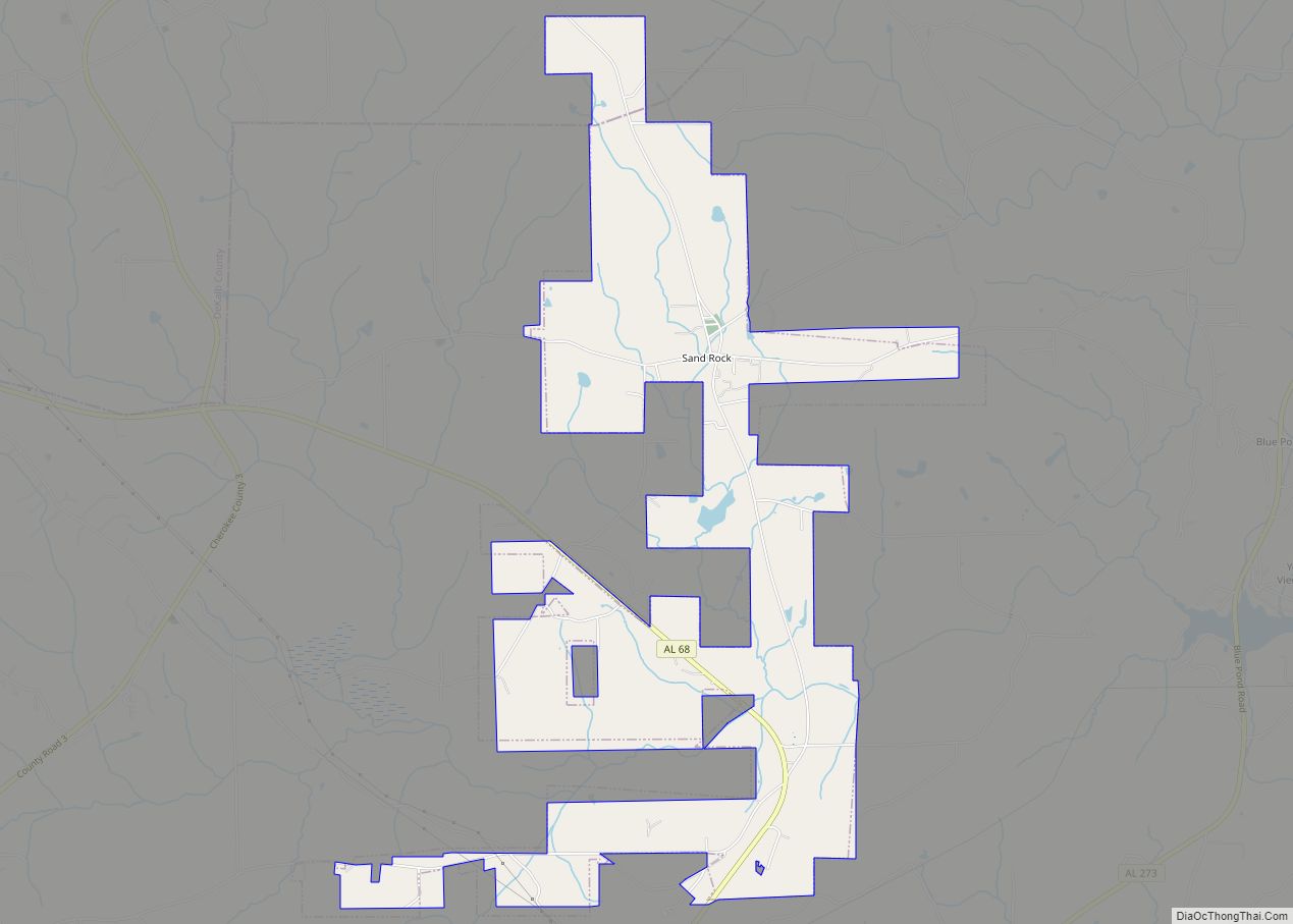
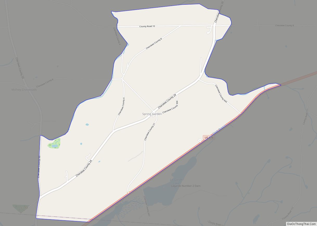
Online Interactive Map
Click on ![]() to view map in "full screen" mode.
to view map in "full screen" mode.
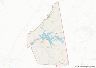
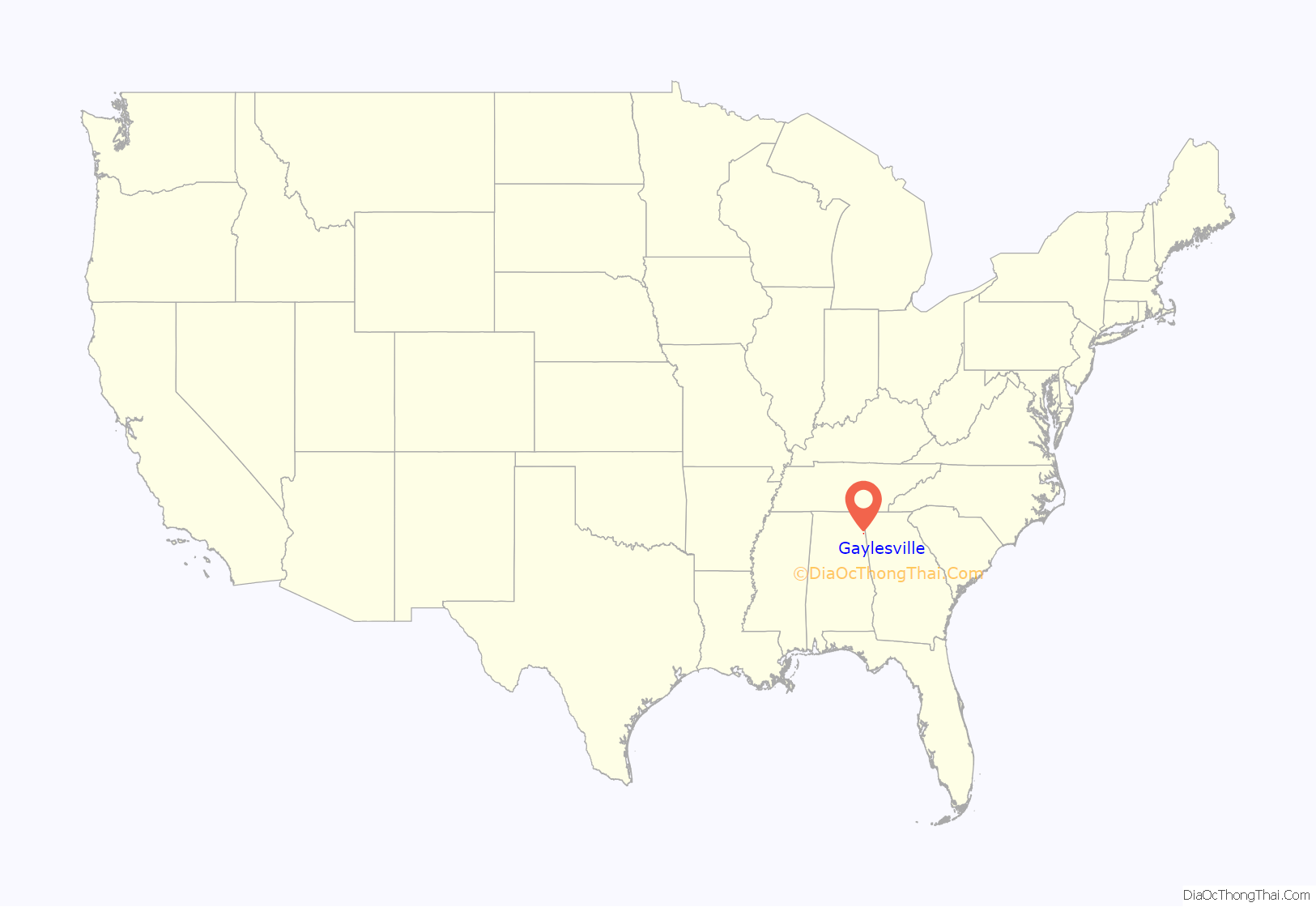
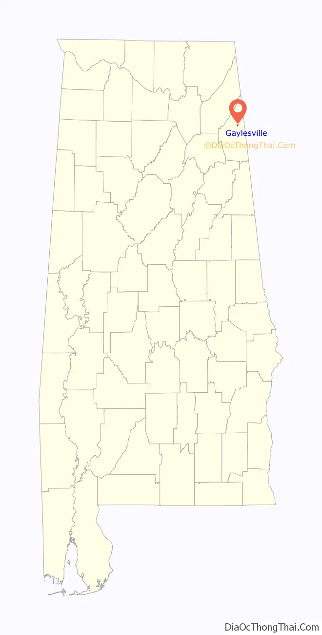
Gaylesville location map. Where is Gaylesville town?
History
Gaylesville is named for George W. Gayle, an Alabama politician. However, Gayle may also be the name of a local Cherokee Indian. A post office has been in operation in Gaylesville since 1836.
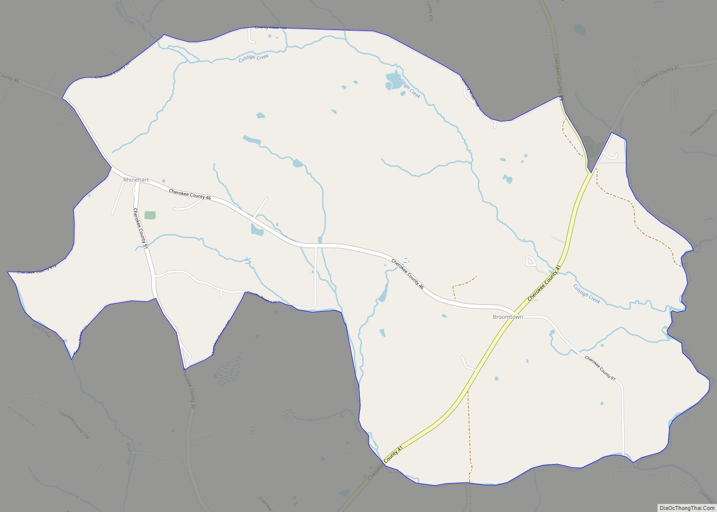
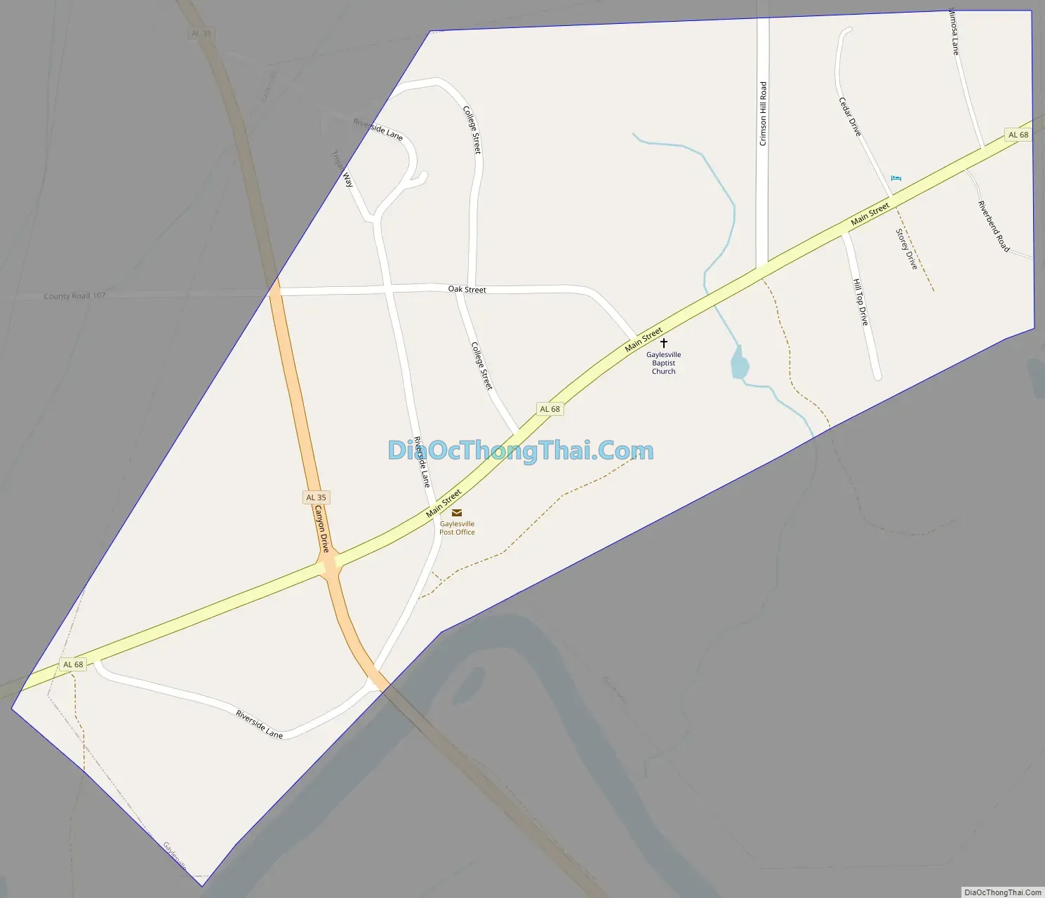
Gaylesville Road Map
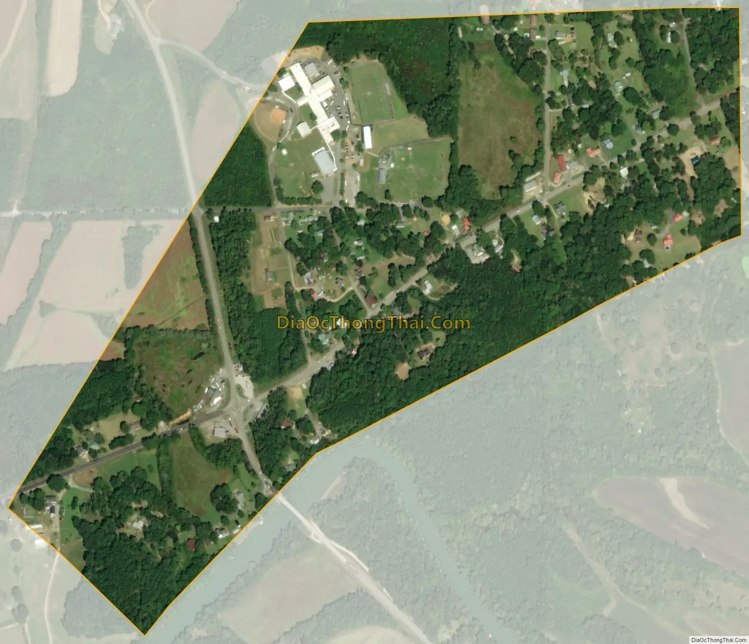
Gaylesville city Satellite Map
Geography
Gaylesville is located in northeast Cherokee County at 34°16’4.778″ North, 85°33’29.678″ West (34.267994, -85.558244), on the north side of the Chattooga River where it enters Weiss Lake.
According to the U.S. Census Bureau, the town has a total area of 0.35 square miles (0.9 km), all land.
See also
Map of Alabama State and its subdivision:- Autauga
- Baldwin
- Barbour
- Bibb
- Blount
- Bullock
- Butler
- Calhoun
- Chambers
- Cherokee
- Chilton
- Choctaw
- Clarke
- Clay
- Cleburne
- Coffee
- Colbert
- Conecuh
- Coosa
- Covington
- Crenshaw
- Cullman
- Dale
- Dallas
- De Kalb
- Elmore
- Escambia
- Etowah
- Fayette
- Franklin
- Geneva
- Greene
- Hale
- Henry
- Houston
- Jackson
- Jefferson
- Lamar
- Lauderdale
- Lawrence
- Lee
- Limestone
- Lowndes
- Macon
- Madison
- Marengo
- Marion
- Marshall
- Mobile
- Monroe
- Montgomery
- Morgan
- Perry
- Pickens
- Pike
- Randolph
- Russell
- Saint Clair
- Shelby
- Sumter
- Talladega
- Tallapoosa
- Tuscaloosa
- Walker
- Washington
- Wilcox
- Winston
- Alabama
- Alaska
- Arizona
- Arkansas
- California
- Colorado
- Connecticut
- Delaware
- District of Columbia
- Florida
- Georgia
- Hawaii
- Idaho
- Illinois
- Indiana
- Iowa
- Kansas
- Kentucky
- Louisiana
- Maine
- Maryland
- Massachusetts
- Michigan
- Minnesota
- Mississippi
- Missouri
- Montana
- Nebraska
- Nevada
- New Hampshire
- New Jersey
- New Mexico
- New York
- North Carolina
- North Dakota
- Ohio
- Oklahoma
- Oregon
- Pennsylvania
- Rhode Island
- South Carolina
- South Dakota
- Tennessee
- Texas
- Utah
- Vermont
- Virginia
- Washington
- West Virginia
- Wisconsin
- Wyoming