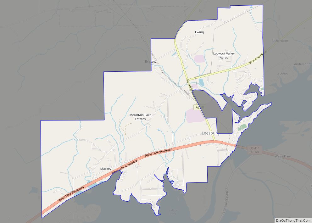
Leesburg is a town in Cherokee County, Alabama, United States. At the 2020 census, the population was 911.
| Name: | Leesburg town |
|---|---|
| LSAD Code: | 43 |
| LSAD Description: | town (suffix) |
| State: | Alabama |
| County: | Cherokee County |
| Elevation: | 610 ft (186 m) |
| Total Area: | 6.28 sq mi (16.27 km²) |
| Land Area: | 6.27 sq mi (16.24 km²) |
| Water Area: | 0.01 sq mi (0.03 km²) |
| Total Population: | 911 |
| Population Density: | 145.30/sq mi (56.10/km²) |
| ZIP code: | 35983 |
| Area code: | 256 |
| FIPS code: | 0142016 |
| GNISfeature ID: | 0152019 |
| Website: | www.leesburgal.com |
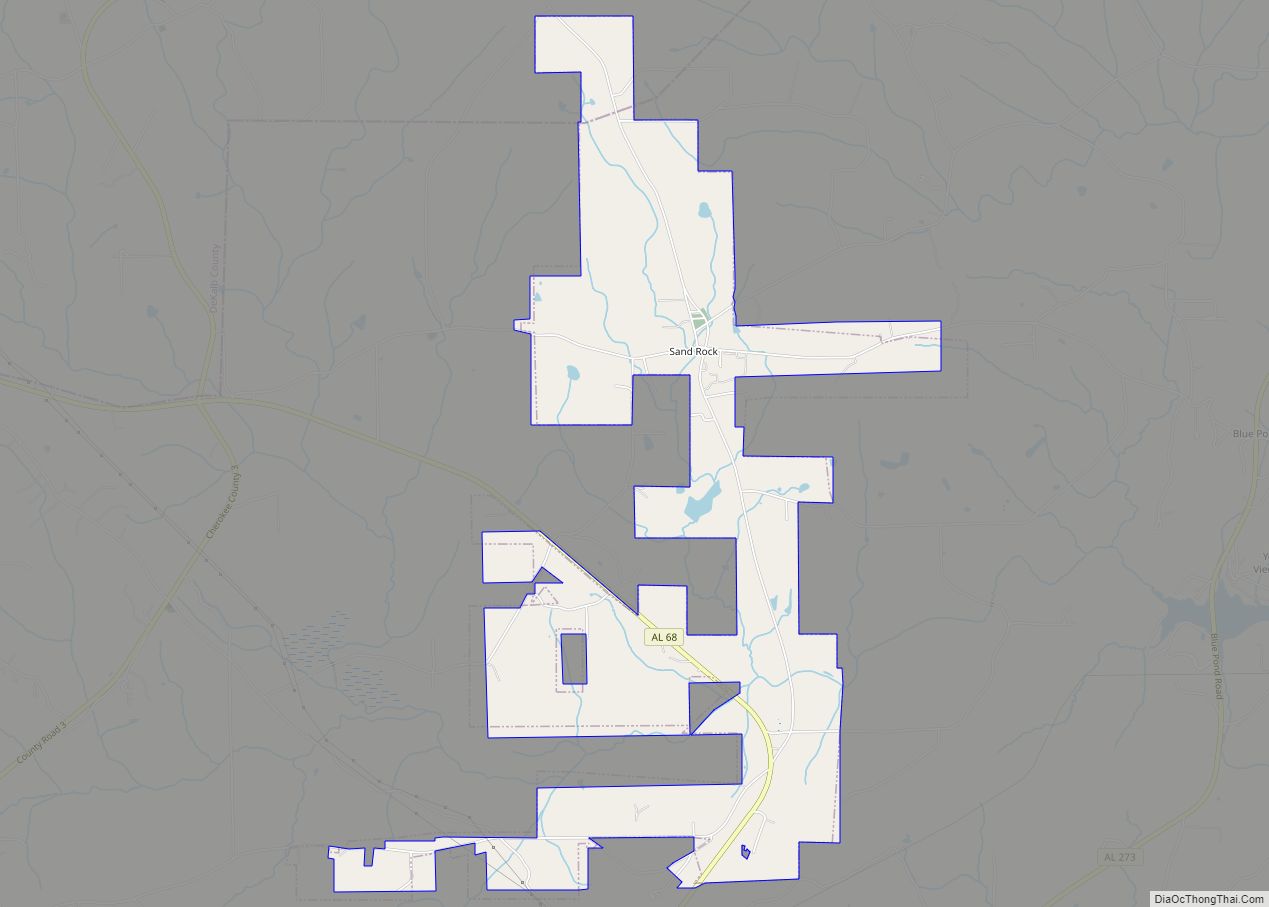
Online Interactive Map
Click on ![]() to view map in "full screen" mode.
to view map in "full screen" mode.
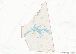
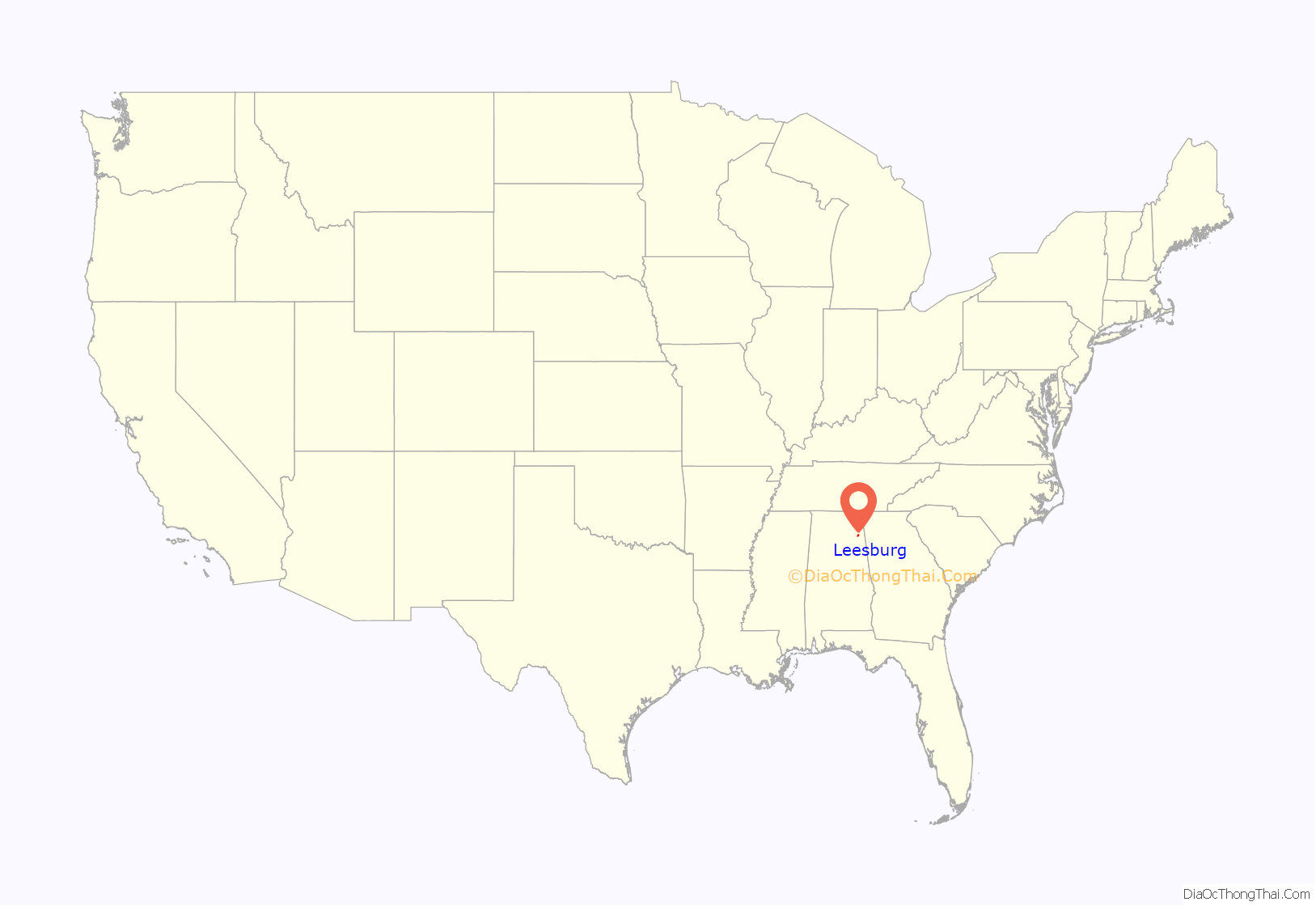
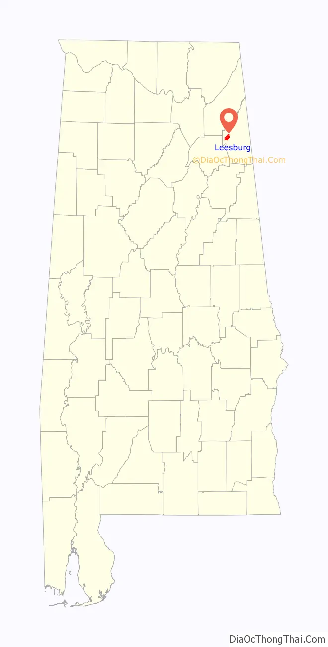
Leesburg location map. Where is Leesburg town?
History
Leesburg was originally called Hamptonville; it was named for Joseph Hampton and the Henslee family respectively. A post office was established as Hamptonville in 1836, and in 1839 the name was changed to Leesburg.
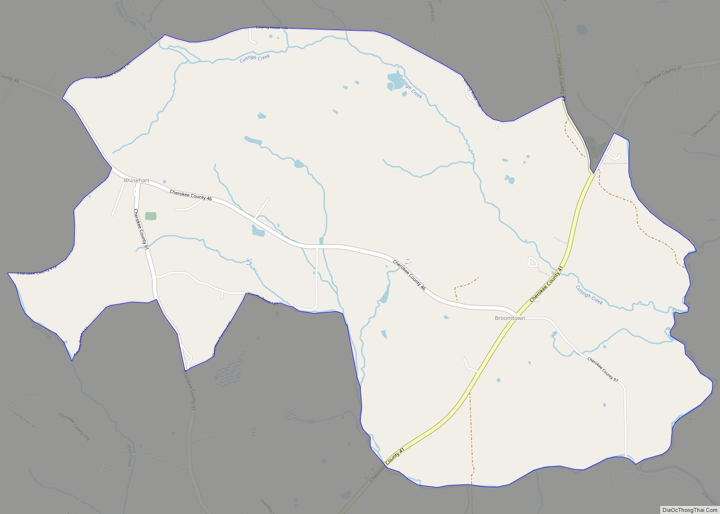
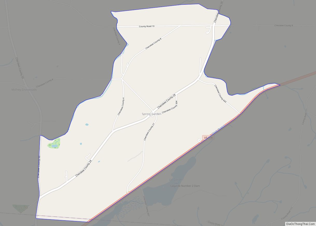
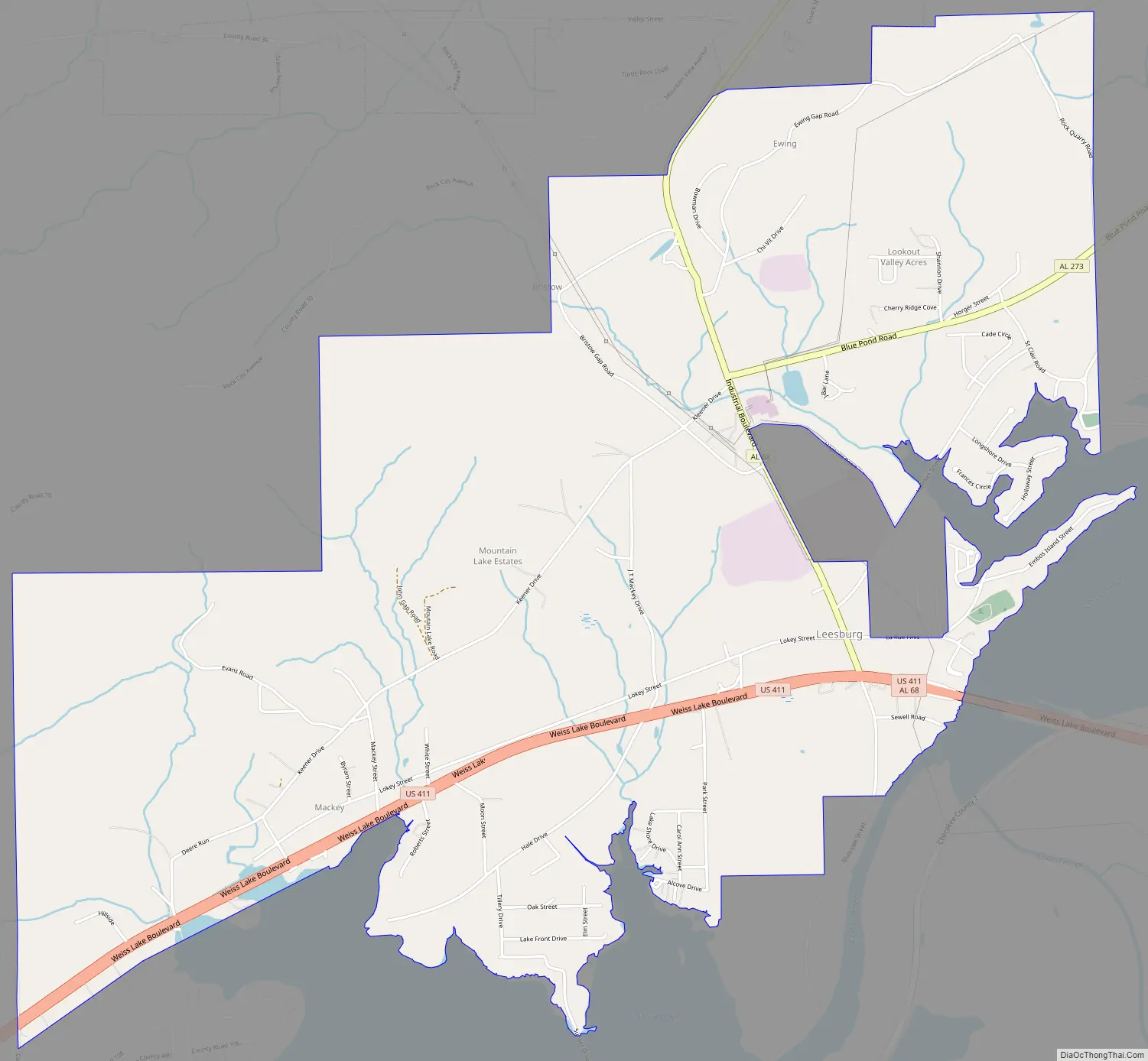
Leesburg Road Map
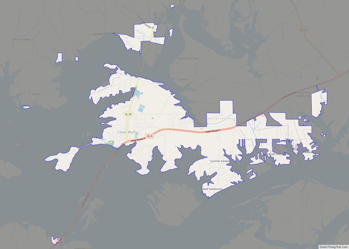
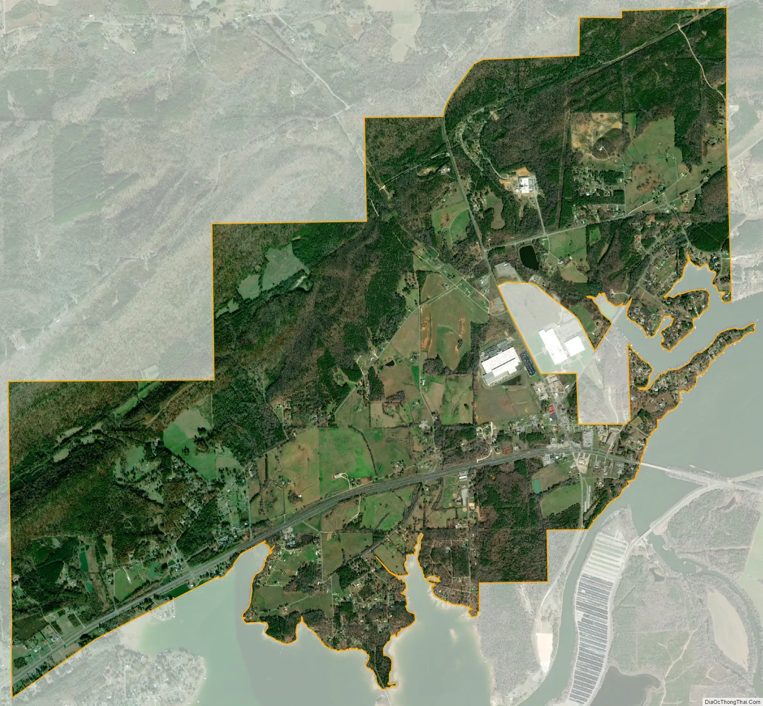
Leesburg city Satellite Map
Geography
Leesburg is located in western Cherokee County at 34°10’57.446″ North, 85°46’8.350″ West (34.182624, -85.768986). It is bordered by Lookout Mountain and the town of Sand Rock to the north and Weiss Lake on the Coosa River to the south. Weiss Dam, forming the lake, is located just south of the town limits.
U.S. Route 411 runs through the town from west to east, leading southeast 5 mi (8 km) to Centre, the county seat of Cherokee County, and southwest 19 mi (31 km) to Gadsden. Alabama State Route 68 meets US-411 in town, leading north 5 mi (8 km) to Sand Rock, and following US-411 east to Centre.
According to the U.S. Census Bureau, Leesburg has a total area of 6.4 square miles (16.7 km), of which 0.019 square miles (0.05 km), or 0.29%, is water.
See also
Map of Alabama State and its subdivision:- Autauga
- Baldwin
- Barbour
- Bibb
- Blount
- Bullock
- Butler
- Calhoun
- Chambers
- Cherokee
- Chilton
- Choctaw
- Clarke
- Clay
- Cleburne
- Coffee
- Colbert
- Conecuh
- Coosa
- Covington
- Crenshaw
- Cullman
- Dale
- Dallas
- De Kalb
- Elmore
- Escambia
- Etowah
- Fayette
- Franklin
- Geneva
- Greene
- Hale
- Henry
- Houston
- Jackson
- Jefferson
- Lamar
- Lauderdale
- Lawrence
- Lee
- Limestone
- Lowndes
- Macon
- Madison
- Marengo
- Marion
- Marshall
- Mobile
- Monroe
- Montgomery
- Morgan
- Perry
- Pickens
- Pike
- Randolph
- Russell
- Saint Clair
- Shelby
- Sumter
- Talladega
- Tallapoosa
- Tuscaloosa
- Walker
- Washington
- Wilcox
- Winston
- Alabama
- Alaska
- Arizona
- Arkansas
- California
- Colorado
- Connecticut
- Delaware
- District of Columbia
- Florida
- Georgia
- Hawaii
- Idaho
- Illinois
- Indiana
- Iowa
- Kansas
- Kentucky
- Louisiana
- Maine
- Maryland
- Massachusetts
- Michigan
- Minnesota
- Mississippi
- Missouri
- Montana
- Nebraska
- Nevada
- New Hampshire
- New Jersey
- New Mexico
- New York
- North Carolina
- North Dakota
- Ohio
- Oklahoma
- Oregon
- Pennsylvania
- Rhode Island
- South Carolina
- South Dakota
- Tennessee
- Texas
- Utah
- Vermont
- Virginia
- Washington
- West Virginia
- Wisconsin
- Wyoming