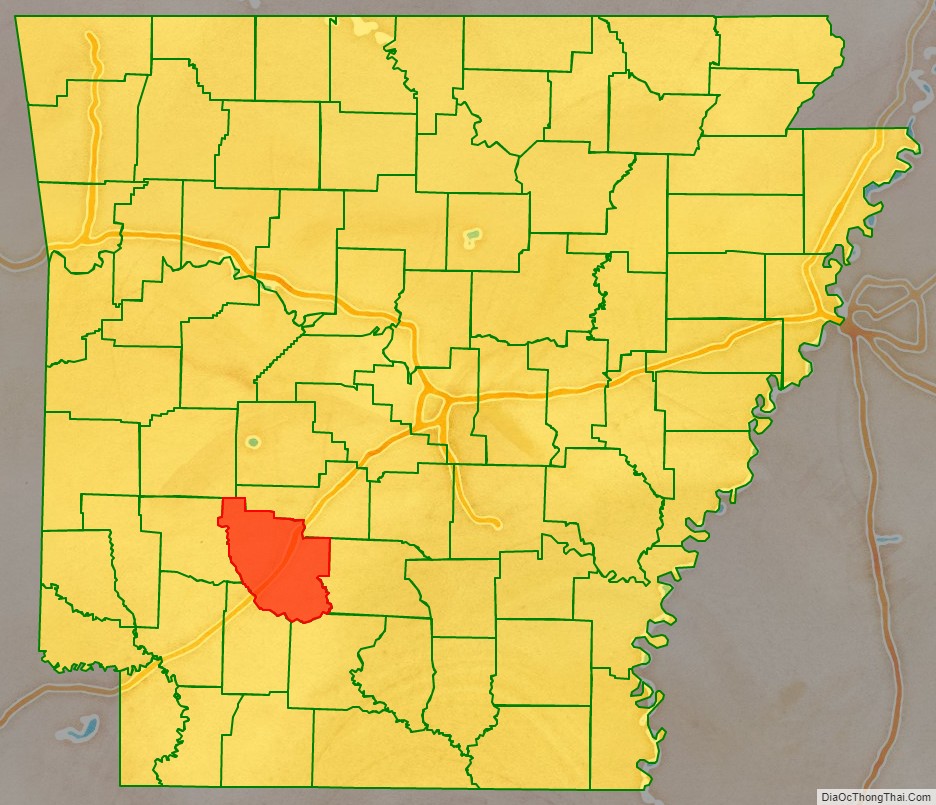
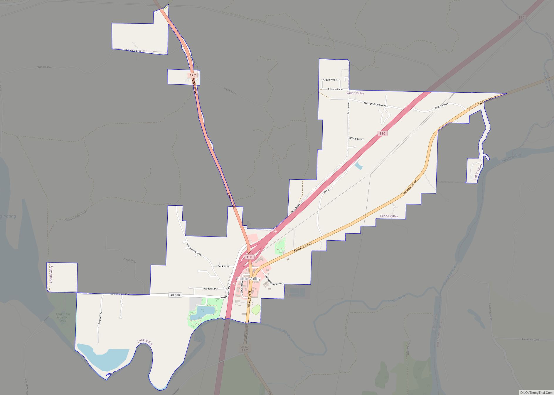
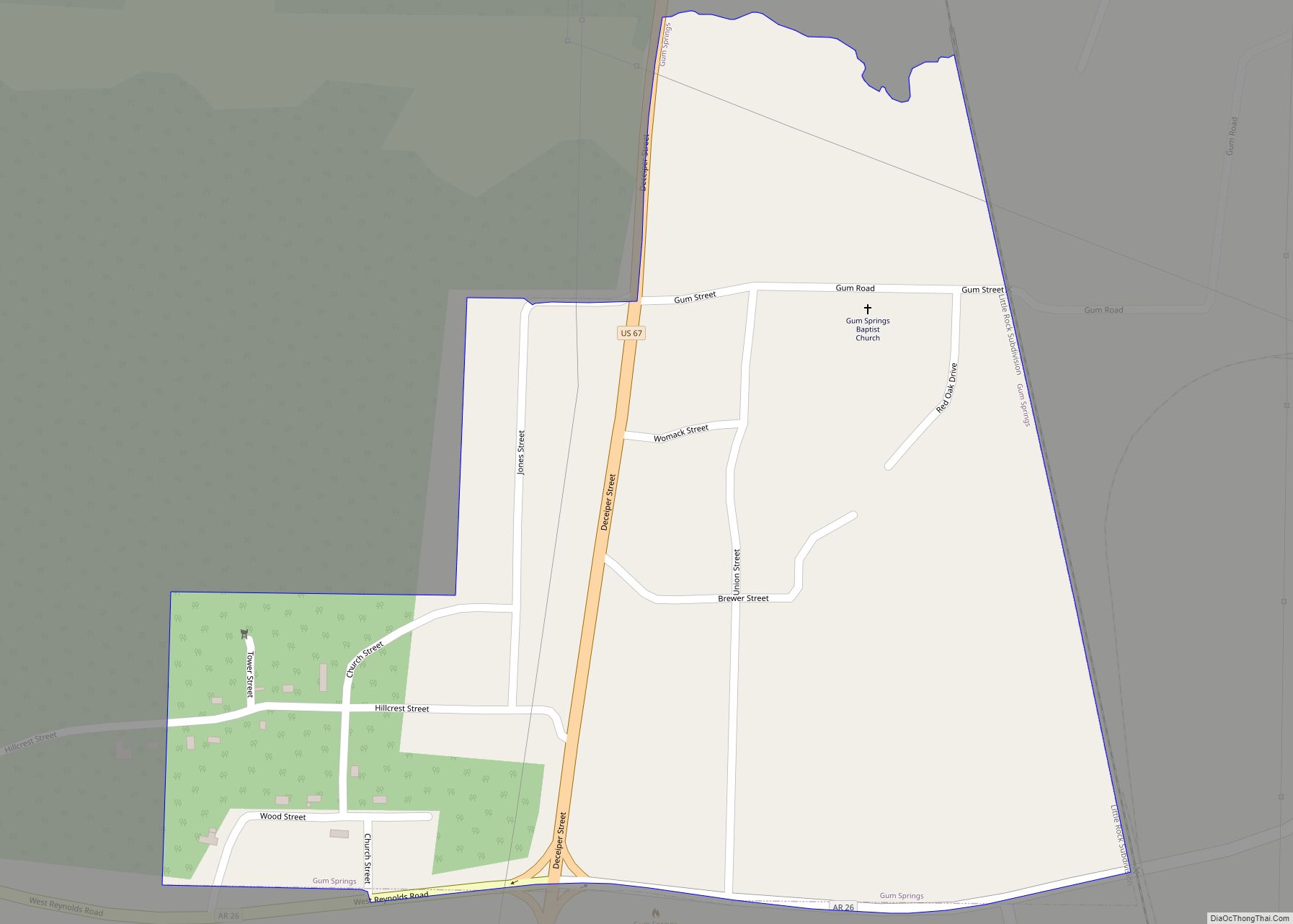
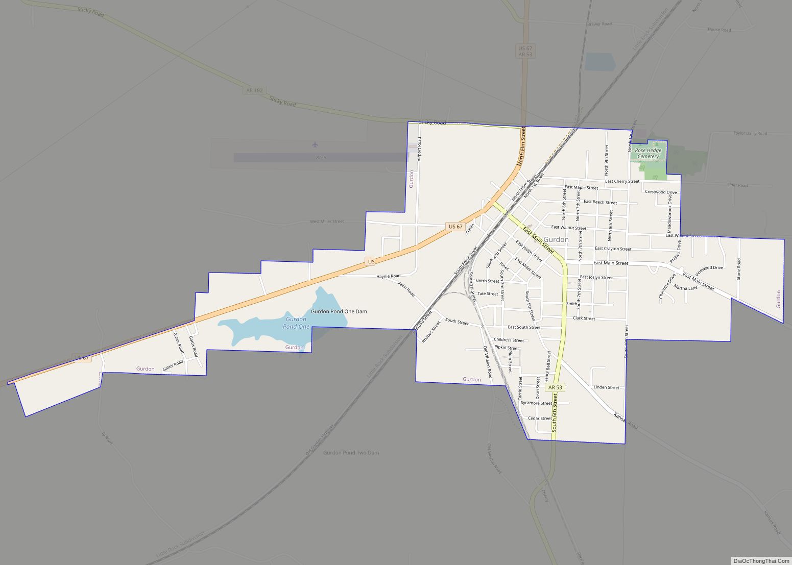
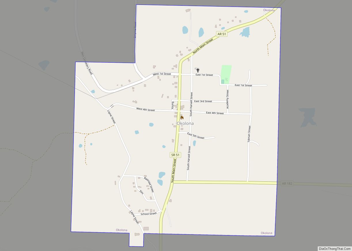
Clark County is a county located in the south-central part of the U.S. state of Arkansas. As of the 2020 census, the population was 21,446. The county seat is Arkadelphia. The Arkadelphia, AR Micropolitan Statistical Area includes all of Clark County.
| Name: | Clark County |
|---|---|
| FIPS code: | 05-019 |
| State: | Arkansas |
| Founded: | December 15, 1818 |
| Named for: | William Clark |
| Seat: | Arkadelphia |
| Largest city: | Arkadelphia |
| Total Area: | 883 sq mi (2,290 km²) |
| Land Area: | 866 sq mi (2,240 km²) |
| Total Population: | 21,446 |
| Population Density: | 24/sq mi (9.4/km²) |
| Time zone: | UTC−6 (Central) |
| Summer Time Zone (DST): | UTC−5 (CDT) |
| Website: | clarkcountyar.gov |
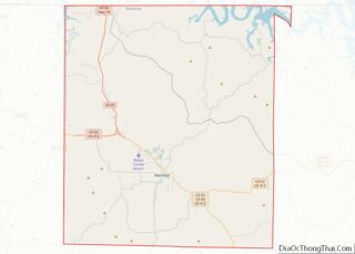
Clark County location map. Where is Clark County?
History
Ancient Indigenous peoples occupied areas along the waterways for thousands of years prior to European exploration. Among the various cultures was the Caddoan Mississippian culture, which developed by 1000CE and occupied certain sites in Arkansas at different times. This was the westernmost expression of the Mississippian culture, which developed a vast network and numerous centers of development throughout the Mississippi Valley and its tributaries. The Caddoans constructed substantial earthwork mounds in the areas of Arkansas and Texas; the largest in Arkansas is Battle Mound Site, built from 1200 to 1400 CE in what is present-day Lafayette County. Archeological evidence has established there was unbroken continuity from the Caddoan Mississippian people to the historic Caddo people and related Caddo-language speakers who encountered the first Europeans. Their descendants formed the modern Caddo Nation of Oklahoma.
19th century
Settlers in the 19th century found earthwork mounds, 10 to 15 feet in height, in areas around what developed as Arkadelphia, Arkansas. Some were excavated for pottery and other grave goods.
At the time of European-American settlement after the United States acquired this territory in the Louisiana Purchase of 1803, the pioneers encountered three major Native American tribes: the Caddo, who lived along the banks of the Caddo River; the Quapaw on the Ouachita River, for several miles below what is now Arkadelphia; and the Lenape (known then as Delaware, who were driven to this area by European pressure from the mid-Atlantic East Coast) along the lower Ouachita to below present-day Camden. (This site had been named as Écore à Fabre, after a colonial French trader Fabre.)
Clark County was the third county formed by Americans in Arkansas, on December 15, 1818, together with Hempstead and Pulaski counties. The county is named after William Clark, then Governor of the Missouri Territory, which included present-day Arkansas. On November 1, 1833, the Arkansas territorial legislature created Pike County from western Clark County and part of northern Hempstead County. It was named after US explorer Zebulon Pike.
Arkadelphia was designated as the county seat in 1842. It became increasingly important as a hub after railroads were constructed to here that connected with numerous markets. Timber harvesting became important by the end of the century. By 1890, forest products were ranked next to agriculture in economic importance. In the 20th century, continued modern technological developments established the industry’s continued importance in the county’s economy.
Three of the six lynchings recorded in Clark County from 1877 to 1950 took place in a mass event in late January 1879. An African-American man, Ben Daniels, and three of his four sons (ranging in age from 22 to 18) were arrested as suspects in an alleged robbery and assault of a white man and held in the county jail. Daniels and two of his sons were forcibly taken out of the jail by a white mob and lynched by hanging from trees in the courthouse square, without trial. One son, believed to be Charles Daniels (22), survived for trial. He was convicted and served in prison until about 1886 or 1887.
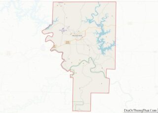
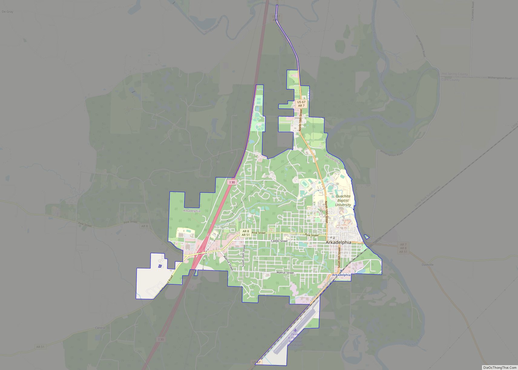
Clark County Road Map
Geography
According to the U.S. Census Bureau, the county has a total area of 883 square miles (2,290 km), of which 866 square miles (2,240 km) is land and 17 square miles (44 km) (1.9%) is water.
Major highways
- Interstate 30
- U.S. Highway 67
- Highway 7
- Highway 8
- Highway 26
- Highway 51
- Highway 53
Adjacent counties
- Hot Spring County (northeast)
- Dallas County (east)
- Ouachita County (southeast)
- Nevada County (southwest)
- Pike County (west)
- Montgomery County (northwest)

