Arkadelphia is a city in Clark County, Arkansas, United States. As of the 2020 census, the population was 10,380. The city is the county seat of Clark County. It is situated at the foothills of the Ouachita Mountains. Two universities, Henderson State University and Ouachita Baptist University, are located here. Arkadelphia was incorporated in 1857.
| Name: | Arkadelphia city |
|---|---|
| LSAD Code: | 25 |
| LSAD Description: | city (suffix) |
| State: | Arkansas |
| County: | Clark County |
| Elevation: | 246 ft (75 m) |
| Total Area: | 7.74 sq mi (20.03 km²) |
| Land Area: | 7.73 sq mi (20.02 km²) |
| Water Area: | 0.01 sq mi (0.02 km²) |
| Total Population: | 10,380 |
| Population Density: | 1,343.17/sq mi (518.60/km²) |
| Area code: | 870 |
| FIPS code: | 0501870 |
| GNISfeature ID: | 0076188 |
| Website: | cityofarkadelphia.com |
Online Interactive Map
Click on ![]() to view map in "full screen" mode.
to view map in "full screen" mode.
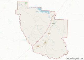
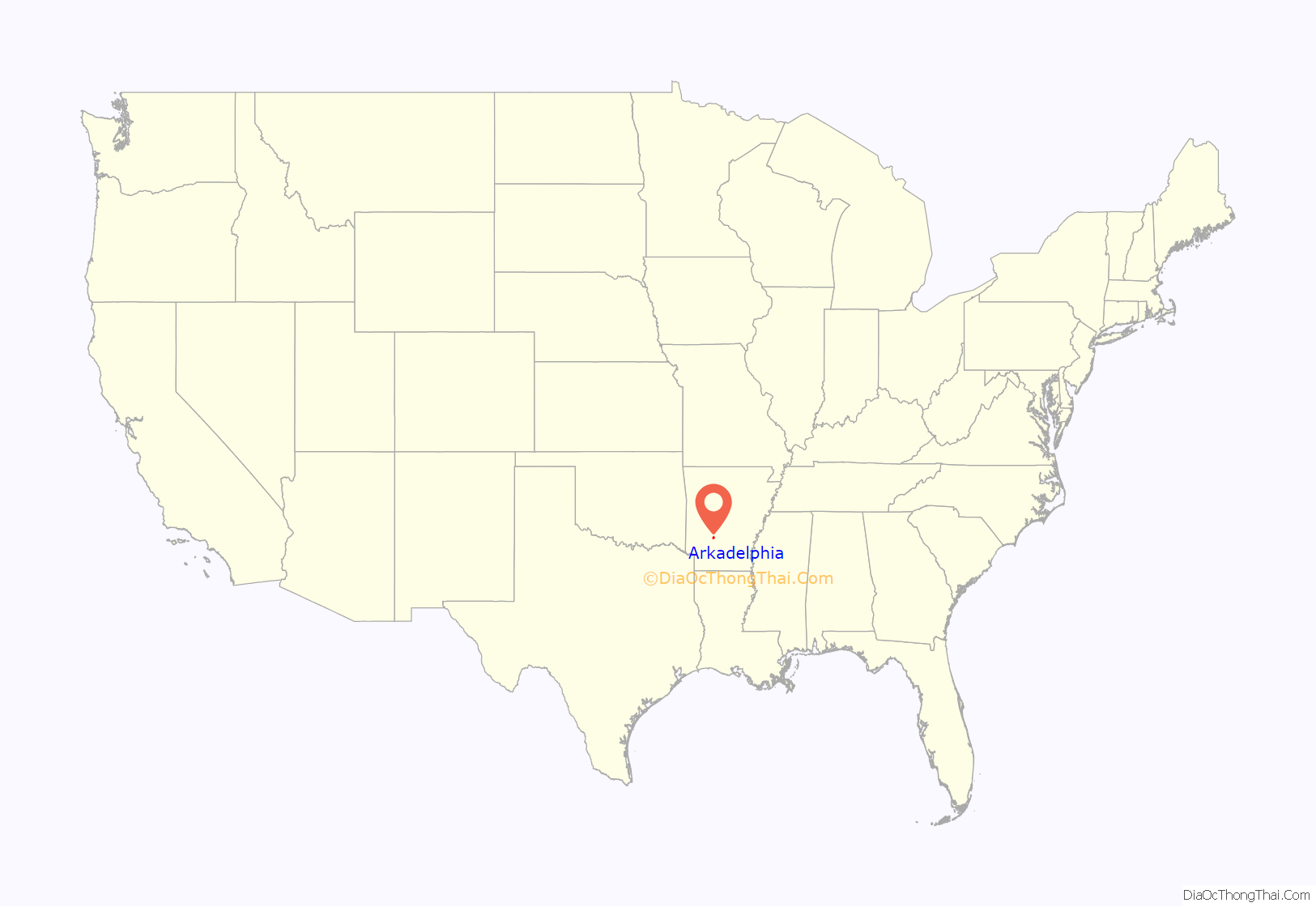
Arkadelphia location map. Where is Arkadelphia city?
History
The site was settled in about 1809 by John Hemphill, operator of a nearby salt works, Arkansas’s first industry. It was known as Blakelytown until 1839, when the settlement adopted the name Arkadelphia. The town was named “Arkadelphia,” a portmanteau of Ark- from the state’s name Arkansas and adelphia from the Greek meaning “brother/place”.
Arkadelphia was once known as the “City of Rainbows”, perhaps because the humid climate often resulted in rain.
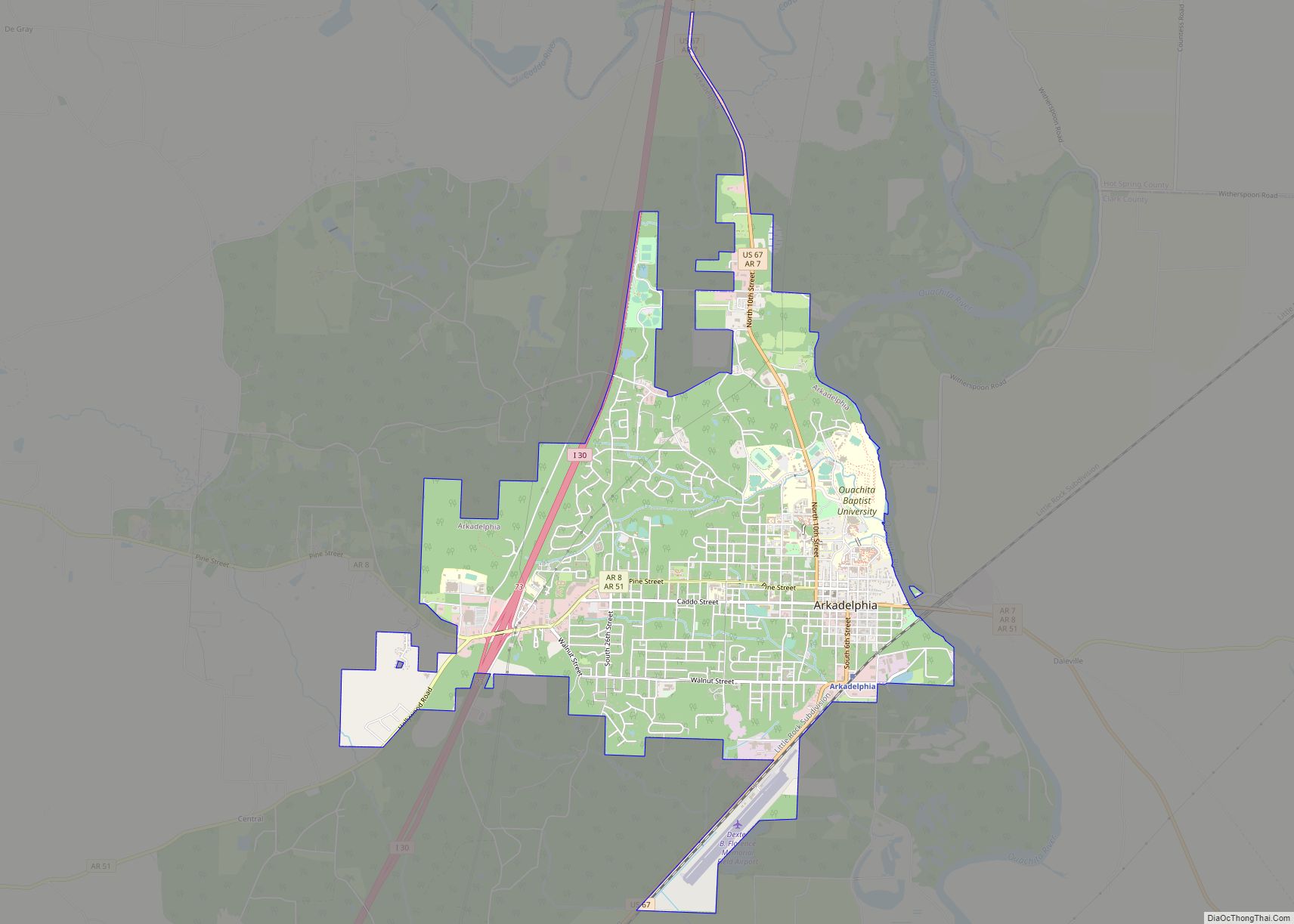
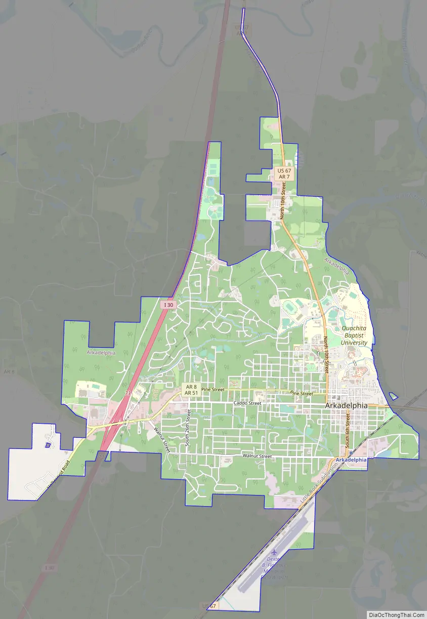
Arkadelphia Road Map
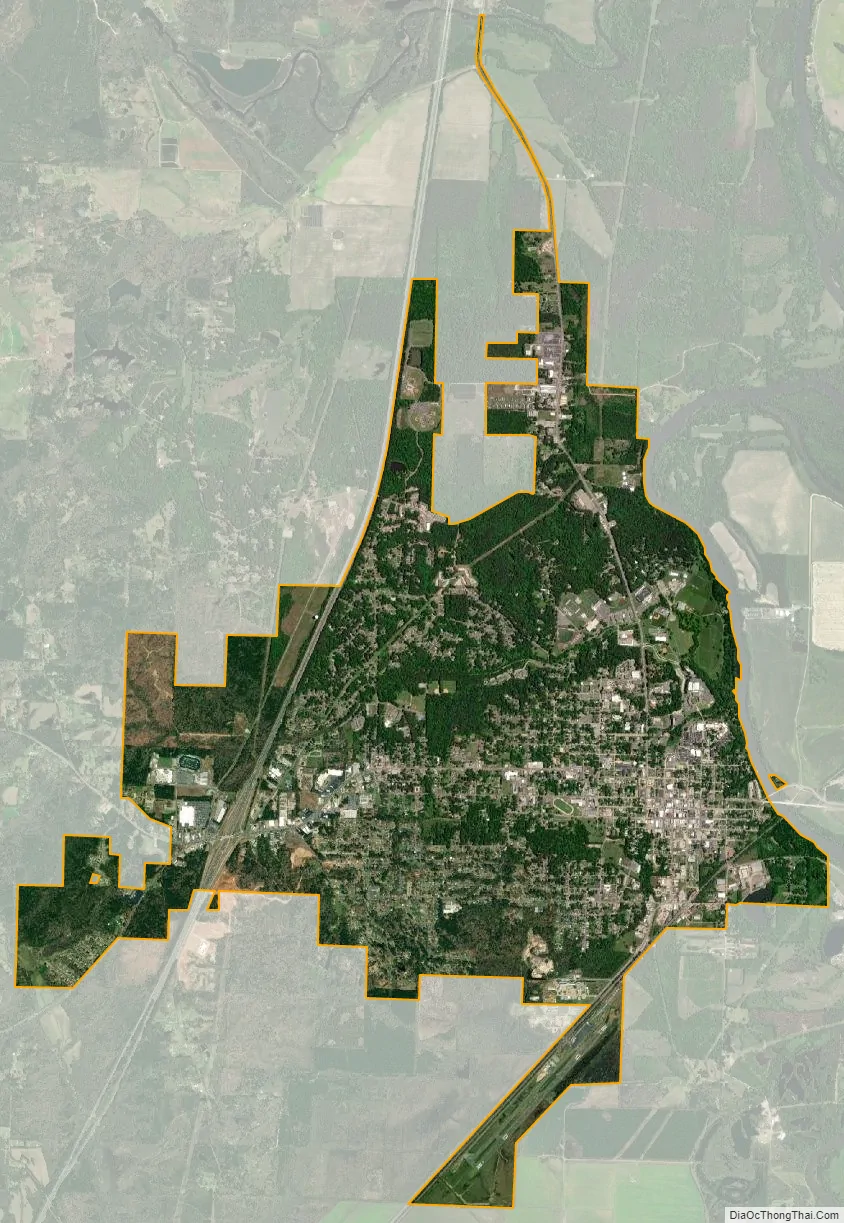
Arkadelphia city Satellite Map
Geography
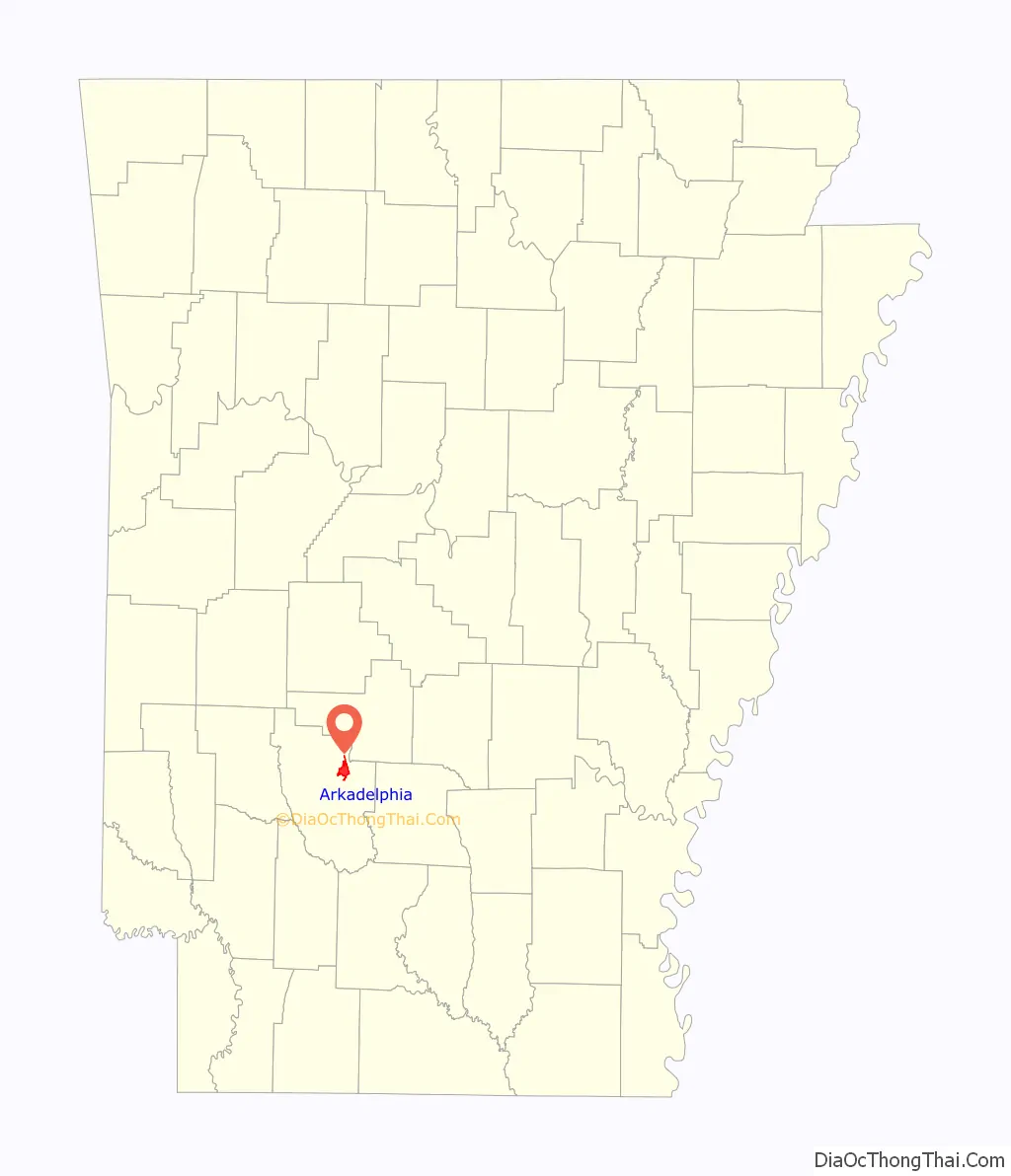
Arkadelphia is located in northeastern Clark County at 34°7′19″N 93°3′58″W / 34.12194°N 93.06611°W / 34.12194; -93.06611 (34.121920, -93.066178), on the west bank of the Ouachita River. According to the United States Census Bureau, the city has a total area of 7.3 square miles (18.9 km), of which 7.3 square miles (18.8 km) is land and 0.04 square miles (0.1 km), or 0.49%, is water.
Climate
The climate is characterized by hot, humid summers and generally mild to cool winters. According to the Köppen climate classification system, Arkadelphia has a humid subtropical climate, abbreviated “Cfa” on climate maps.
See also
Map of Arkansas State and its subdivision:- Arkansas
- Ashley
- Baxter
- Benton
- Boone
- Bradley
- Calhoun
- Carroll
- Chicot
- Clark
- Clay
- Cleburne
- Cleveland
- Columbia
- Conway
- Craighead
- Crawford
- Crittenden
- Cross
- Dallas
- Desha
- Drew
- Faulkner
- Franklin
- Fulton
- Garland
- Grant
- Greene
- Hempstead
- Hot Spring
- Howard
- Independence
- Izard
- Jackson
- Jefferson
- Johnson
- Lafayette
- Lawrence
- Lee
- Lincoln
- Little River
- Logan
- Lonoke
- Madison
- Marion
- Miller
- Mississippi
- Monroe
- Montgomery
- Nevada
- Newton
- Ouachita
- Perry
- Phillips
- Pike
- Poinsett
- Polk
- Pope
- Prairie
- Pulaski
- Randolph
- Saint Francis
- Saline
- Scott
- Searcy
- Sebastian
- Sevier
- Sharp
- Stone
- Union
- Van Buren
- Washington
- White
- Woodruff
- Yell
- Alabama
- Alaska
- Arizona
- Arkansas
- California
- Colorado
- Connecticut
- Delaware
- District of Columbia
- Florida
- Georgia
- Hawaii
- Idaho
- Illinois
- Indiana
- Iowa
- Kansas
- Kentucky
- Louisiana
- Maine
- Maryland
- Massachusetts
- Michigan
- Minnesota
- Mississippi
- Missouri
- Montana
- Nebraska
- Nevada
- New Hampshire
- New Jersey
- New Mexico
- New York
- North Carolina
- North Dakota
- Ohio
- Oklahoma
- Oregon
- Pennsylvania
- Rhode Island
- South Carolina
- South Dakota
- Tennessee
- Texas
- Utah
- Vermont
- Virginia
- Washington
- West Virginia
- Wisconsin
- Wyoming