| Name: | Columbia County |
|---|---|
| FIPS code: | 36-021 |
| State: | New York |
| Founded: | 1786 |
| Named for: | Christopher Columbus |
| Seat: | Hudson |
| Largest city: | Hudson |
| Total Area: | 648 sq mi (1,680 km²) |
| Land Area: | 635 sq mi (1,640 km²) |
| Total Population: | 61,570 |
| Population Density: | 97/sq mi (37/km²) |
| Time zone: | UTC−5 (Eastern) |
| Summer Time Zone (DST): | UTC−4 (EDT) |
| Website: | www.columbiacountyny.com |
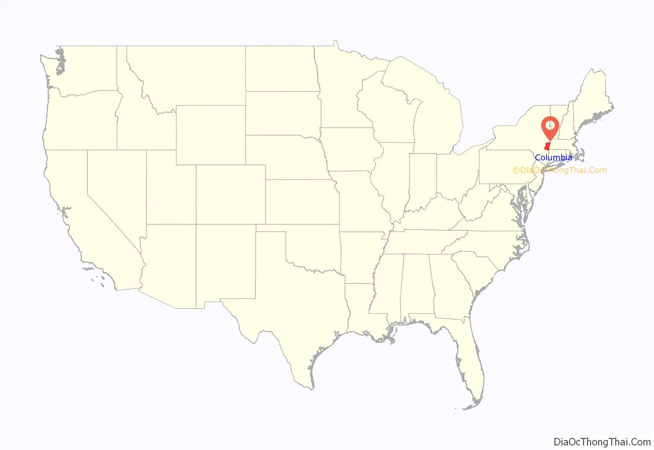
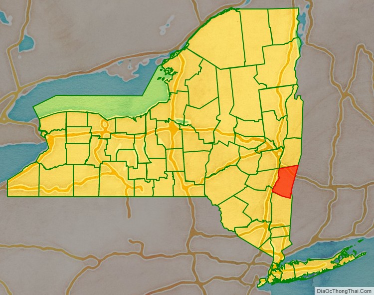
Columbia County location map. Where is Columbia County?
History
At the arrival of European colonists the area was occupied by the indigenous Mohican Indians. To the west of the river were the Mohawk and other four tribes of the Iroquois Confederacy, extending past what is now the border of New York state. The first known European exploration of Columbia County was in 1609, when Henry Hudson, an English explorer sailing for the Dutch, ventured up the Hudson River. An accident to his craft forced him to stop at what is now known as Columbia County, and search for food and supplies. In 1612, the Dutch established trading posts and minor settlements, constructing New Amsterdam (today’s New York City) and Fort Orange (Albany). Fort Orange became a center of the fur trade with the Mohawk people. Traders began to stop at midway points along the Hudson River, on their travels between New Amsterdam and Fort Orange. Small settlements arose along the river to supply the traders’ ships.
In 1649, Dutch colonists purchased land near Claverack and again in 1667. As more Dutch arrived, the region slowly developed. In 1664, the English took over New Netherland and renamed it the Province of New York; they also renamed Fort Orange as Albany.
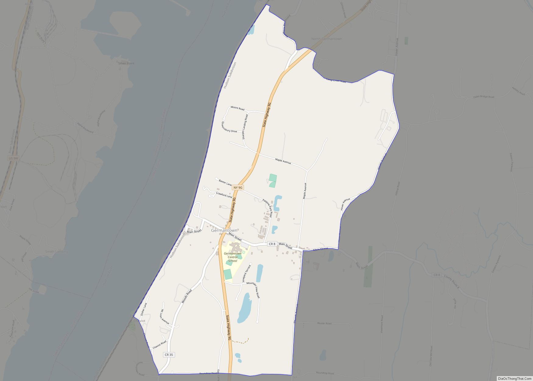
In the late 17th century, Robert Livingston, a Scots immigrant by way of Rotterdam, built on his connections as Indian agent in the colony and purchased two large portions of land from the Native Americans. He gained much larger grants from the provincial government, for a total of 160,240 acres. He was made lord of Livingston Manor by the Crown, with all its perquisites, and started to develop the property with tenant farmers. In 1710, he sold 6,000 acres of his property to Queen Anne of Great Britain for use as work camps and resettlement of Palatine German refugees. The Crown had supported their passage to New York, and they were to pay off the costs as indentured labor. Some 1200 Palatine Germans were brought to Livingston Manor (now known as Germantown). New York’s Governor Hunter had also helped with these arrangements: the workers were to manufacture naval stores (e.g., pitch, resin, and turpentine) from the pine trees in the Catskill Mountains.
They were promised land for resettlement after completing their terms of indenture. They were refugees from years of religious fighting along the border with France, as well as crop failures from a severe winter. Work camps were established on both sides of the Hudson River. The Germans quickly established Protestant churches at the heart of their community, which recorded their weddings, births and deaths, among the first vital records kept in the colony.
After many years, some of the colonists were granted land in the frontier of the central Mohawk Valley west of present-day Little Falls in the 100 lots of the Burnetsfield Patent; in the Schoharie Valley, and other areas, such as Palatine Bridge along the Mohawk River west of Schenectady. They were buffer communities between the British settlements and the Iroquois and French (the latter located mostly in Canada.)
Columbia County was formed in 1786 after the American Revolutionary War from portions of Albany County, once a vast area until new communities were developed and jurisdictions were organized. In 1799, the southern boundary of Columbia County was moved southward to include that portion of Livingston Manor located in Dutchess County.
In the nineteenth century, the Vermont Central Railway was constructed to the area. It provided transportation north towards Rutland and Burlington, Vermont, and south towards the major junction town of Chatham, New York, for travel to points west, south and east.
A large number of LGBT artists and writers settled in Columbia County in the late 20th century, including Ellsworth Kelly, who moved to the county in 1970, followed by James Ivory and Ismail Merchant (1975) and the poet John Ashbery (1978).
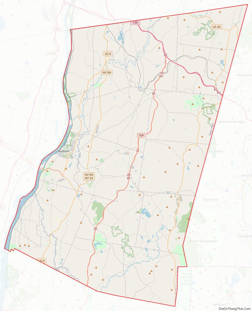
Columbia County Road Map
Geography
According to the U.S. Census Bureau, the county has a total area of 648 square miles (1,680 km), of which 635 square miles (1,640 km) is land and 14 square miles (36 km) (2.1%) is water.
Columbia County is in the southeast south-to-central part of New York State, southeast of Albany and immediately west of the Massachusetts border. The western border is the Hudson River.
The landscapes of the county were among the scenes depicting by the Hudson River School, a mid-19th century art movement.
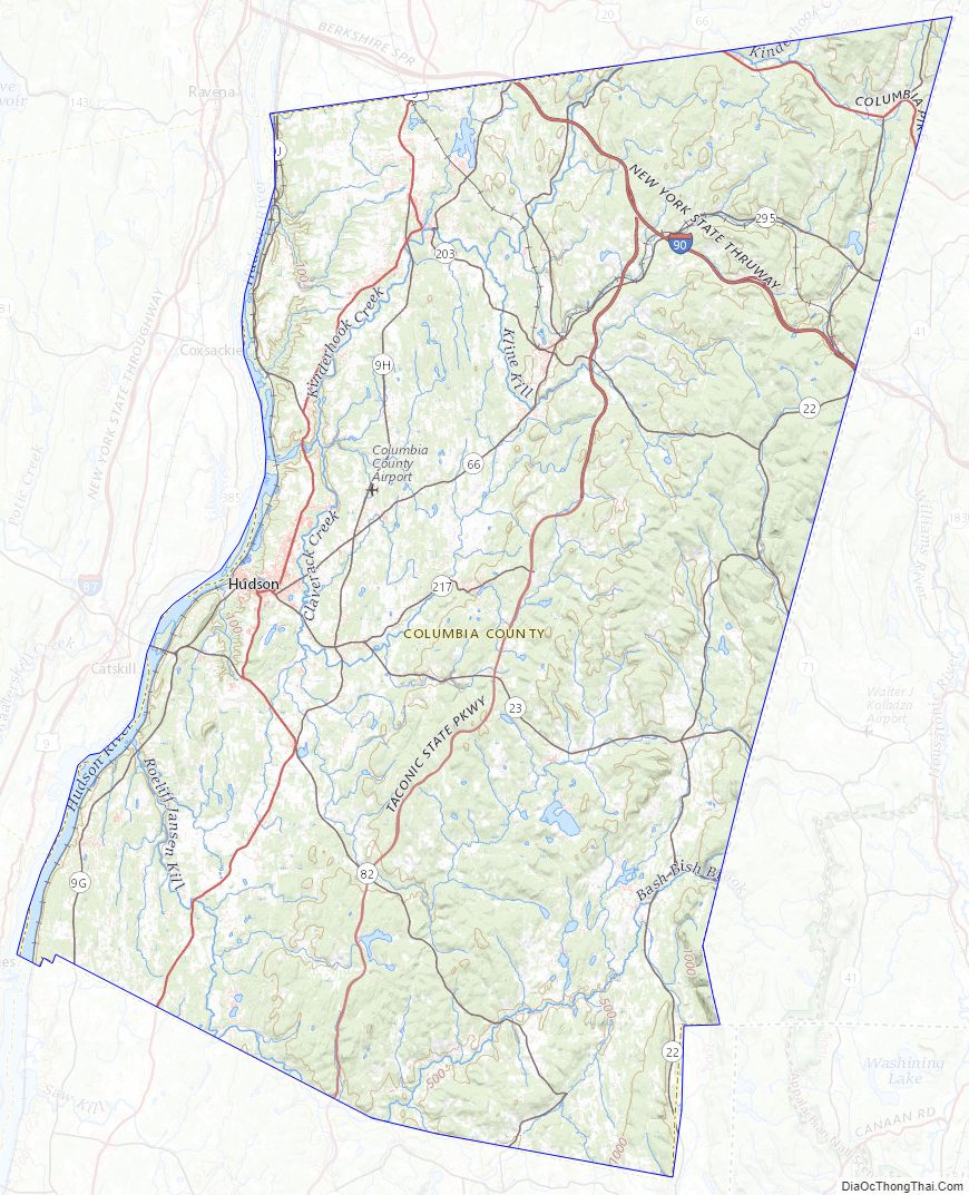
The terrain is gentle, rolling hills, rising sharply into the Taconic and Berkshire Mountains along the state line. To the west lie the Hudson River and the Catskill Mountains.
The highest point is on the Massachusetts state line, near the summit of Alander Mountain, at approximately 2,110 feet (643 m) above sea level, in the town of Copake. The lowest point is at or near sea level, along the Hudson.
Columbia County is accessible by two limited-access highways. The Taconic State Parkway, which is not accessible to trucks or commercial traffic, runs through the center of the county from south to north, ending at an interchange with Interstate 90 and connecting the county with points south. Columbia County is the last New York county located along eastbound Interstate 90 (and the first county along westbound I-90), which passes through the towns of Canaan and Chatham as the Berkshire Connector portion of the New York Thruway. I-90 has two exits within the county; for the southbound Taconic State Parkway in Chatham, and for NYS Route 22 in Canaan. Depending on precise location within the county, road travel distance to New York City ranges between 96 miles (154 km) and 145 miles (233 km).
Several other major routes cross Columbia County including north–south U.S. Route 9, east–west NYS Route 23, north–south NYS Route 22 and a short portion of east–west U.S. Route 20 in the county’s northeastern corner.
Rivers and streams
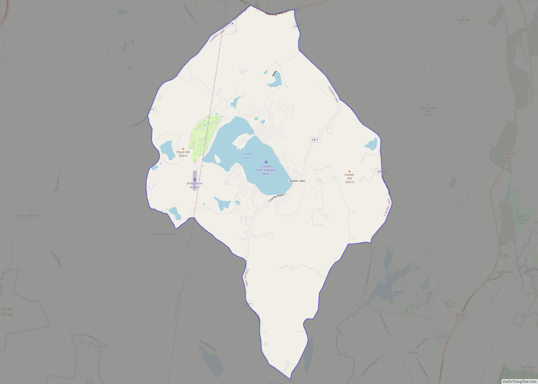
The Hudson River forms the western border of the county. Other notable creeks include; the Ancram Creek, Claverack Creek, Copake Creek, Kinderhook Creek, Roeliff-Jansen Kill, and Valatie Kill. The Rossman Falls and Stuyvesant Falls lie on the Kinderhook Creek. Notable lakes and ponds include Copake Lake, Kinderhook Reservoir, Queechy Lake, and Lake Taghkanic.
Farms
Columbia County is home to many local farms supplying the area with fresh meat, eggs, herbs, and produce, including Holmquest, Ronnybrook, Fix Brothers Fruit Farm, Eger Brothers, Hover Farms, Marsh Meadow Farm, Schober Farm, Millerhurst, Ooms Farm, Churchtown Dairy, Pigasso, Common Hands Farm, Darlin’ Doe, Letterbox Farm Collective, Blue Star Farm, Green Mead Farm, Little Ghent Farm, and Ironwood Farm. Other farms include the large, well-known Hawthorne Valley Farm which includes a farm store and training programs, the biodynamic Roxbury Farm, and FarmOn! at Empire Farm, also a teaching farm.
Adjacent counties
- Albany County – northwest
- Berkshire County, Massachusetts – east
- Dutchess County – south
- Greene County – west
- Litchfield County, Connecticut – southeast
- Rensselaer County – north
- Ulster County – southwest
National protected area
- Martin Van Buren National Historic Site
Columbia County Topographic Map
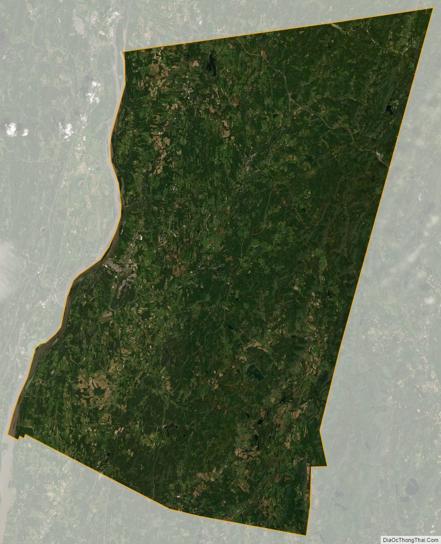
Columbia County Satellite Map
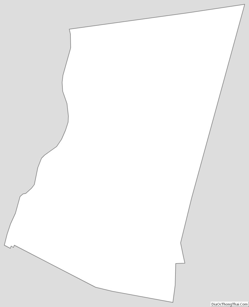
Columbia County Outline Map