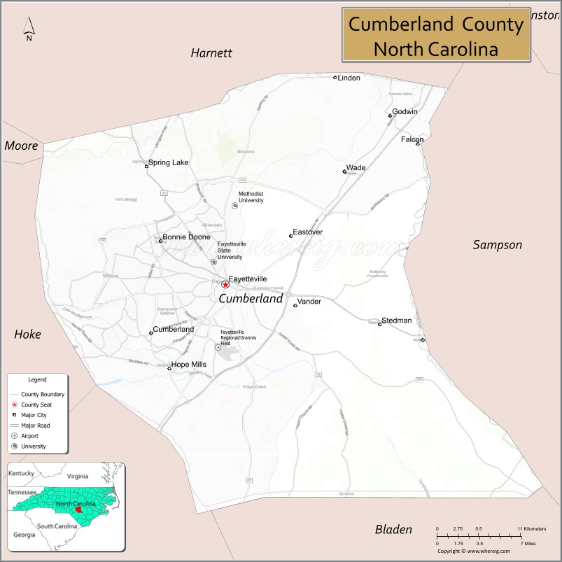
Cumberland County is a county located in the U.S. state of North Carolina. As of the 2020 census, the population was 334,508, making it the fifth-most populous county in North Carolina. Its county seat is Fayetteville. Cumberland County is part of the Fayetteville, NC Metropolitan Statistical Area.
| Name: | Cumberland County |
|---|---|
| FIPS code: | 37-051 |
| State: | North Carolina |
| Founded: | 1754 |
| Named for: | Prince William, Duke of Cumberland |
| Seat: | Fayetteville |
| Largest city: | Fayetteville |
| Total Area: | 658 sq mi (1,700 km²) |
| Land Area: | 652 sq mi (1,690 km²) |
| Total Population: | 335,508 |
| Population Density: | 514.6/sq mi (198.7/km²) |
| Time zone: | UTC−5 (Eastern) |
| Summer Time Zone (DST): | UTC−4 (EDT) |
| Website: | www.co.cumberland.nc.us |
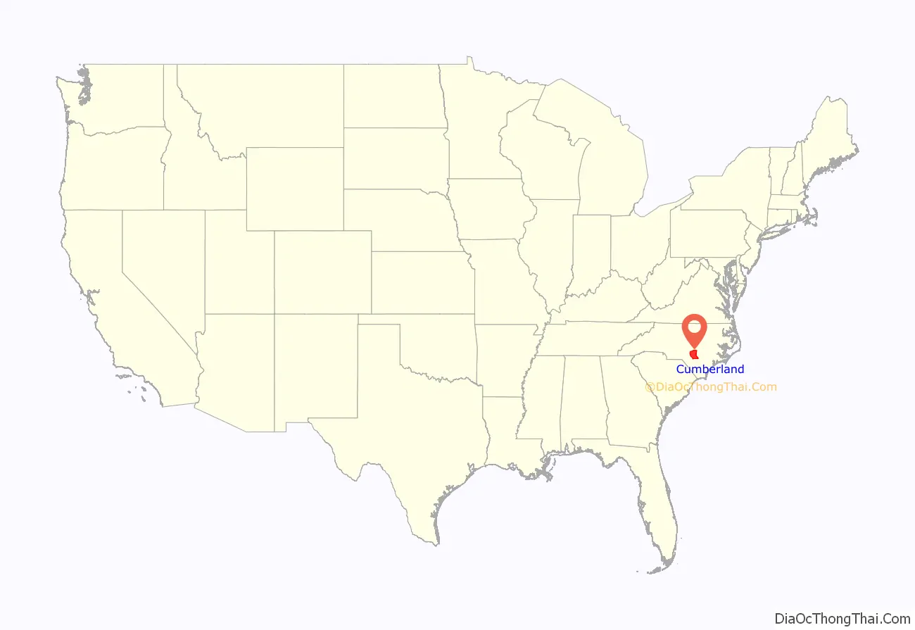
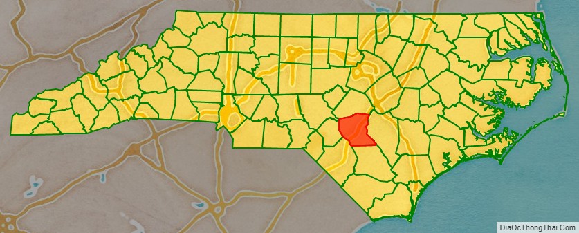
Cumberland County location map. Where is Cumberland County?
History
The county was formed in 1754 from Bladen County. It was named for Prince William Augustus, Duke of Cumberland (1721–1765), captain-general of the British army and victorious commander at the Battle of Culloden.
In 1771 parts of Cumberland County, Johnston County, and Orange County were combined to form Wake County. In July 1784 the western part of Cumberland County became Moore County; the eastern part became Fayette County in honor of the Marquis de la Fayette, but the name Cumberland County was restored three months later. The county was represented as Fayette County in the North Carolina General Assembly of April 1784. In 1855 the northern part of Cumberland County became Harnett County. Finally, in 1911 parts of Cumberland County and Robeson County were combined to form Hoke County.
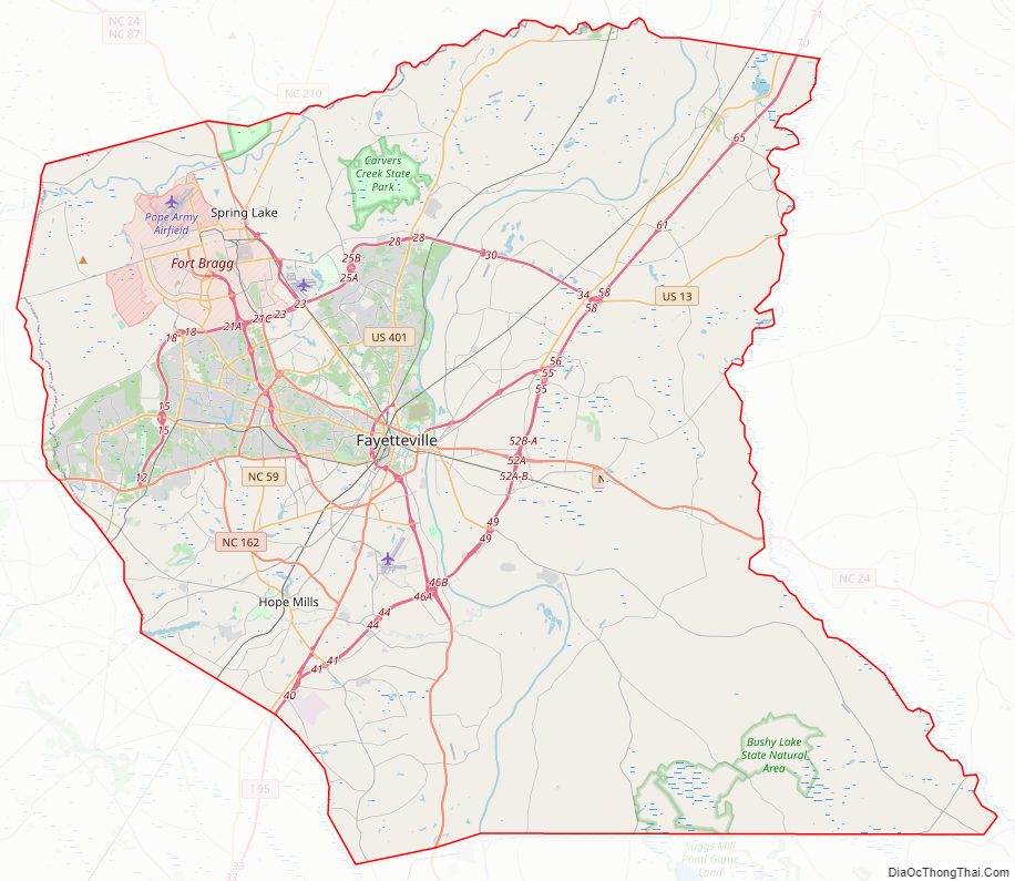
Cumberland County Road Map
Geography
According to the U.S. Census Bureau, the county has a total area of 658 square miles (1,700 km), of which 6.1 square miles (16 km) (0.9%) are covered by water.
State and local protected areas/sites
- Bushy Lake State Natural Area
- Carvers Creek State Park
- Oak Grove Plantation
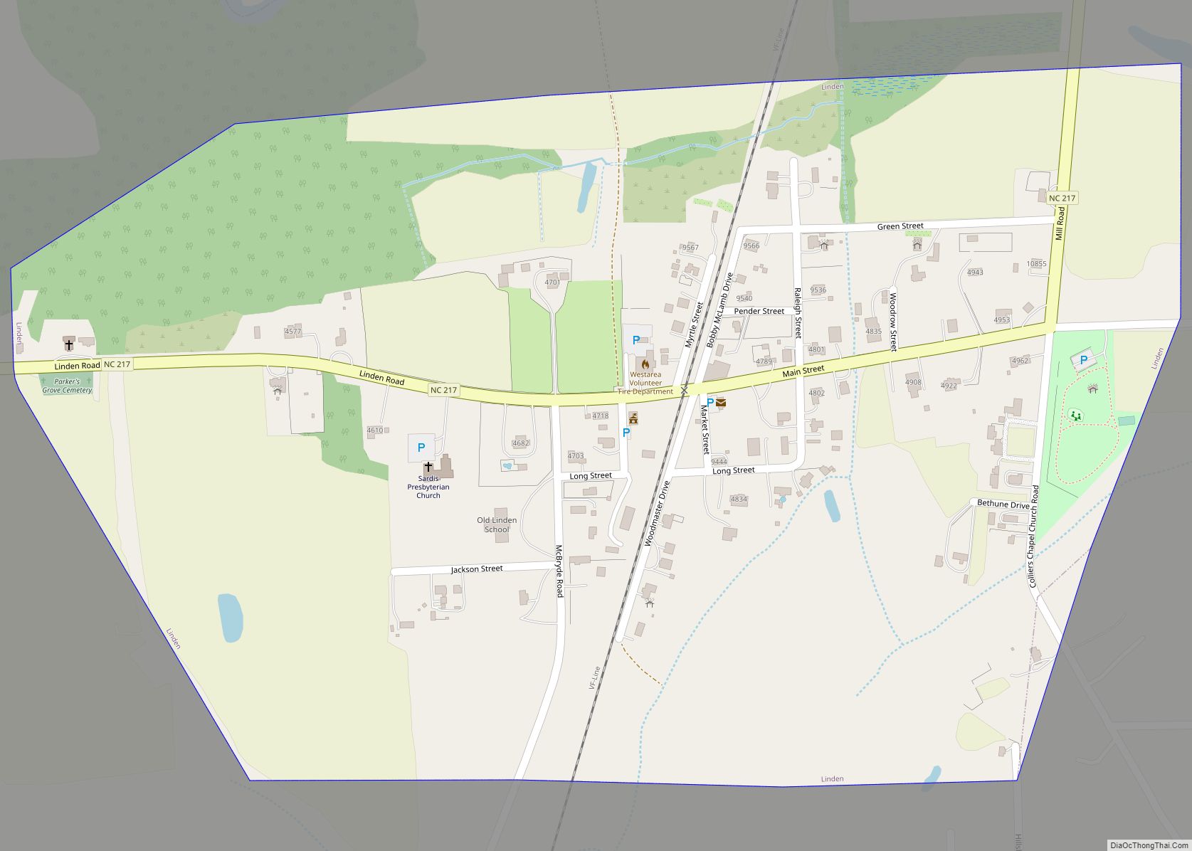
- Old Linden School
- Rhodes Pond Public Fishing Area
- Taliaferro’s Division Monument
- William T. Smith House
Major water bodies
- Cape Fear River
- Carvers Creek
- Cross Creek
- Hope Mills Lake
- Little River (Cape Fear River tributary)
- Mingo Swamp (South River tributary)
- Rockfish Creek (Cape Fear River tributary)
- South River
Adjacent counties
- Harnett County – north
- Sampson County – east
- Bladen County – south
- Robeson County – southwest
- Hoke County – west
- Moore County – west
Major highways
- I-95
- I-95 BL
- I-295 / Future I-295
- US 13
- US 301
- US 401
- US 401 Bus.
- NC 24
- NC 53
- NC 59
- NC 82
- NC 87
- NC 162
- NC 210
- NC 217
- NC 242
- NC 295 (Component highway for I-295)
- NC 690
Major infrastructure
- Fayetteville Regional Airport
- Fayetteville Station
- Fort Bragg (part)
- Pope Army Airfield
- Simmons AAF, Military airfield.
Cumberland County Topographic Map
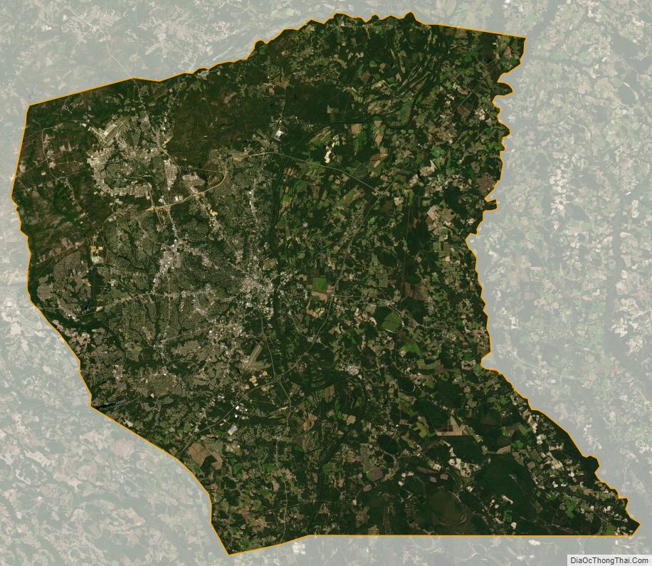
Cumberland County Satellite Map
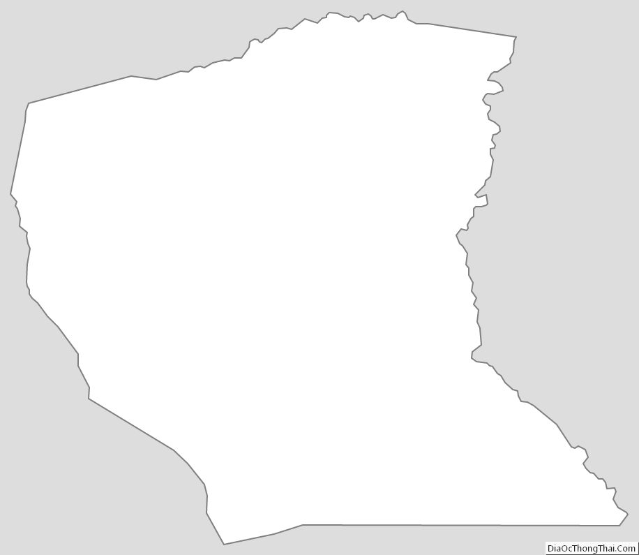
Cumberland County Outline Map