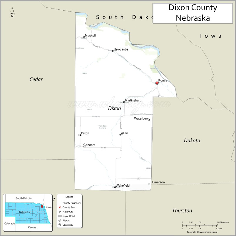
Dixon County is a county in the U.S. state of Nebraska. As of the 2010 United States Census, the population was 6,000. Its county seat is Ponca. The county was created in 1856 and attached to Dakota County. It was organized in 1858.
Dixon County is part of the Sioux City, IA–NE–SD Metropolitan Statistical Area.
In the Nebraska license plate system, Dixon County is represented by the prefix 35 (it had the 35th-largest number of vehicles registered in the county when the license plate system was established in 1922).
| Name: | Dixon County |
|---|---|
| FIPS code: | 31-051 |
| State: | Nebraska |
| Founded: | 1856 |
| Seat: | Ponca |
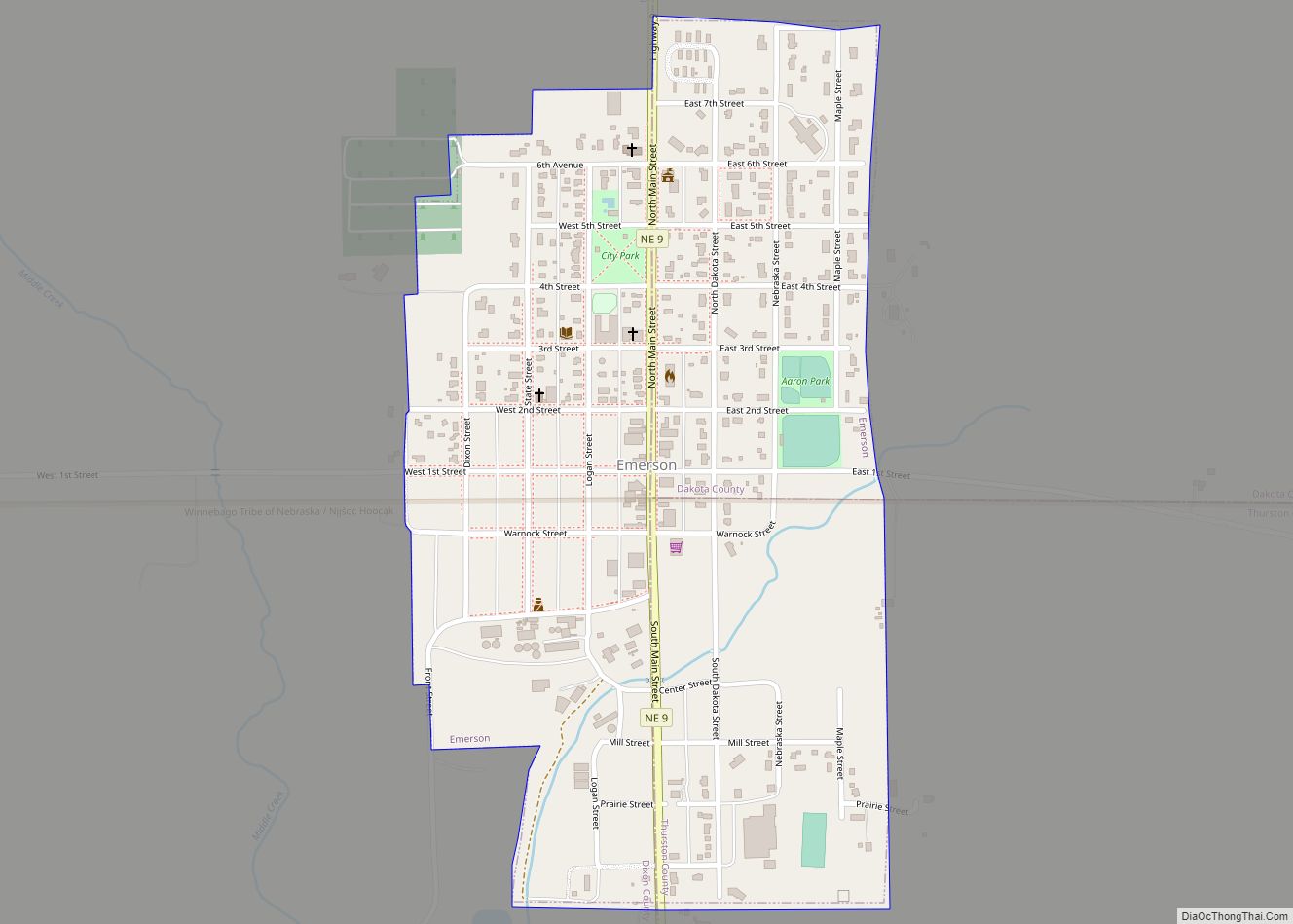
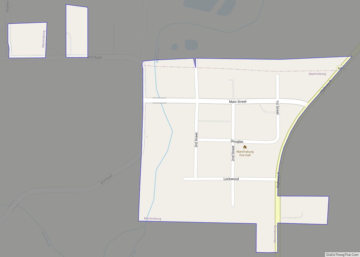
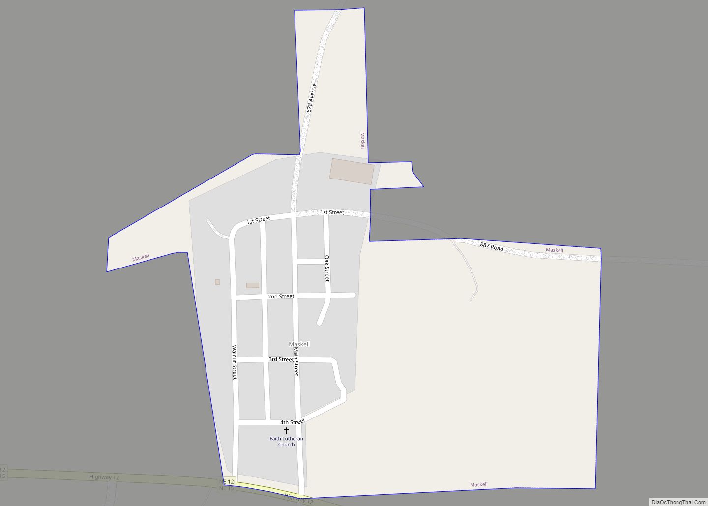
| Largest city: | Wakefield |
| Total Area: | 483 sq mi (1,250 km²) |
| Land Area: | 476 sq mi (1,230 km²) |
| Total Population: | 5,545 |
| Population Density: | 12.1/sq mi (4.7/km²) |
| Time zone: | UTC−6 (Central) |
| Summer Time Zone (DST): | UTC−5 (CDT) |
| Website: | www.co.dixon.ne.us |
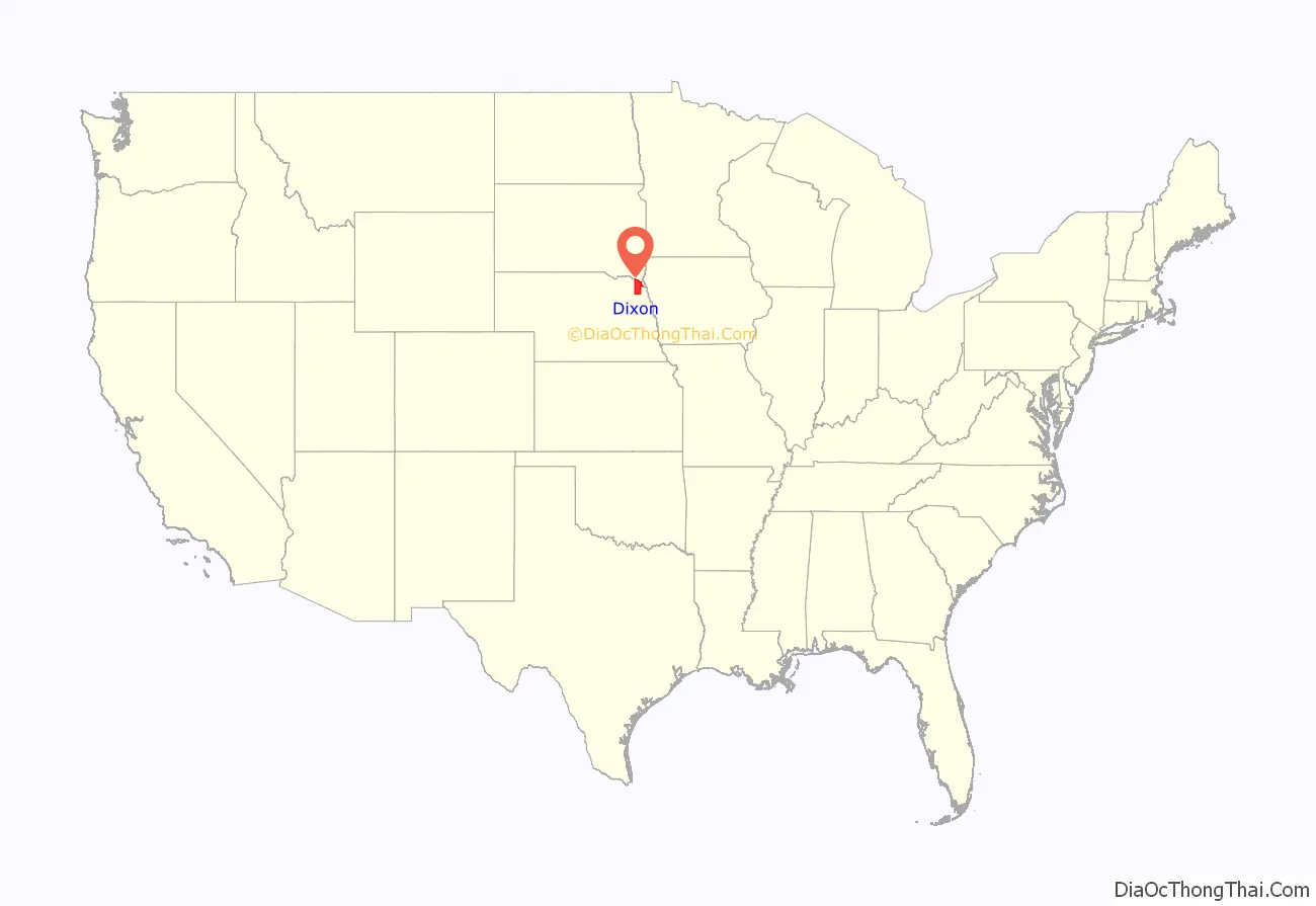
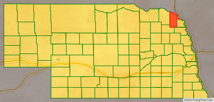
Dixon County location map. Where is Dixon County?
History
Dixon County was formed in 1856. Dixon was named for an early settler.
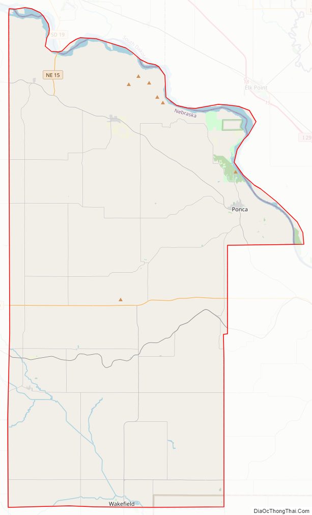
Dixon County Road Map
Geography
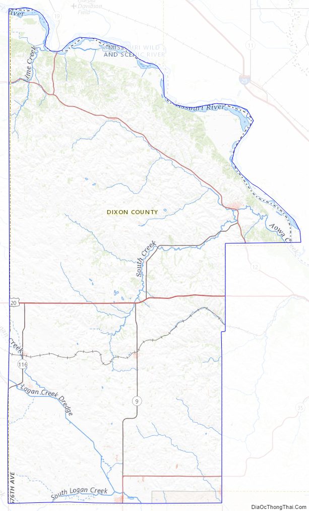
Dixon County lies at the northeast edge of the state. Its northern boundary line abuts the southern boundary line of the state of South Dakota, across the Missouri River. According to the US Census Bureau, the county has an area of 483 square miles (1,250 km), of which 476 square miles (1,230 km) is land and 6.7 square miles (17 km) (1.4%) is water.
Major highways
- U.S. Highway 20
- Nebraska Highway 9
- Nebraska Highway 12
- Nebraska Highway 15
- Nebraska Highway 35
- Nebraska Highway 116
National protected area
- Missouri National Recreational River (part)
State protected area
- Buckskin Hills State Wildlife Management Area
- Ponca State Park
- Tarbox Hollow Living Prairie
Adjacent counties
- Union County, South Dakota – northeast
- Dakota County – east
- Thurston County – southeast
- Wayne County – southwest
- Cedar County – west
- Clay County, South Dakota – northwest
Dixon County Topographic Map
Dixon County Satellite Map

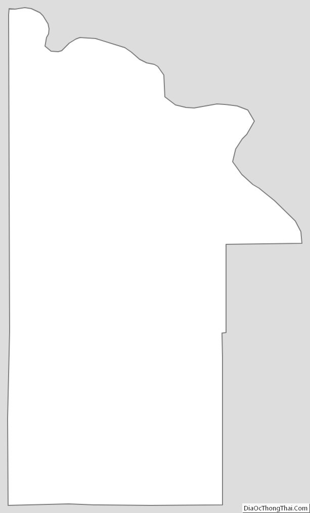
Dixon County Outline Map