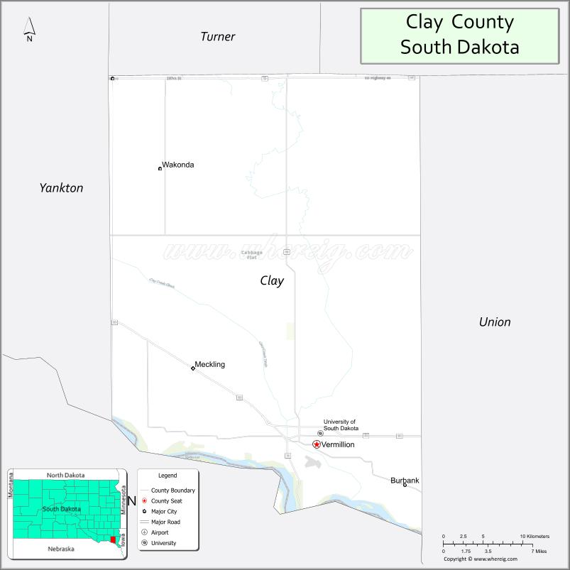
Clay County is a county in the U.S. state of South Dakota. As of the 2020 United States Census, the population was 14,967. The county seat is Vermillion, which is also home to the University of South Dakota. The county is named for Henry Clay, American statesman, US Senator from Kentucky, and United States Secretary of State in the 19th century.
Clay County comprises the Vermillion, SD Micropolitan Statistical Area, which is also included in the Sioux City-Vermillion, IA-SD-NE Combined Statistical Area.
| Name: | Clay County |
|---|---|
| FIPS code: | 46-027 |
| State: | South Dakota |
| Founded: | 1862 |
| Named for: | Henry Clay |
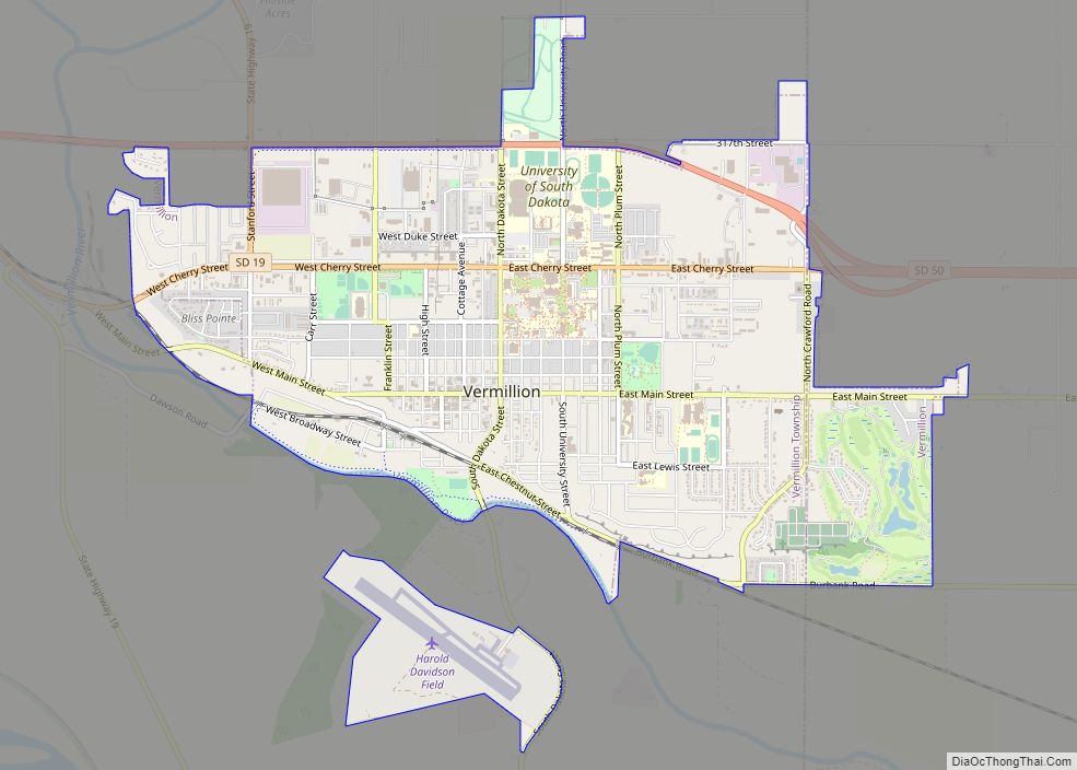
| Seat: | Vermillion |
| Largest city: | Vermillion |
| Total Area: | 417 sq mi (1,080 km²) |
| Land Area: | 412 sq mi (1,070 km²) |
| Total Population: | 14,967 |
| Population Density: | 36/sq mi (14/km²) |
| Time zone: | UTC−6 (Central) |
| Summer Time Zone (DST): | UTC−5 (CDT) |
| Website: | www.claycountysd.org |
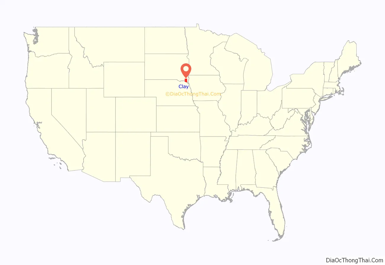
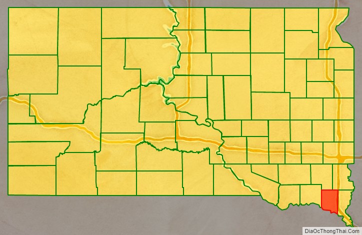
Clay County location map. Where is Clay County?
History
The future Clay County area was opened for legal settlement in 1859. In Autumn 1859, Ahira A. Partridge (who would become the first elected sheriff of the county) crossed the Missouri river into the Dakota territory, and became the first white man to settle, on 160 acres of land that now underlies Vermillion. In 1862 the county was formally organized. The Clay County Courthouse was built in 1912.
Clay County is the name of 17 other counties in the United States, most of them named for Henry Clay.
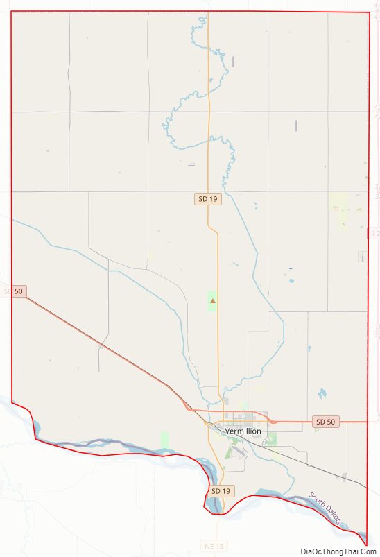
Clay County Road Map
Geography
Clay County lies on the south line of South Dakota. The south boundary line of Clay County abuts the north line of the state of Nebraska (across the Missouri River). The Missouri River flows southeast along the south boundary line of Clay County. A small drainage creek flows into the county from Turner County, draining the central and eastern portions of the county and discharging into the river. Smaller drainages move water from the western county areas into the river. In addition to sloping into the drainage through the center of the county, the terrain generally slopes to the south. The area is largely devoted to agriculture.
The county has a total area of 417 square miles (1,080 km), of which 412 square miles (1,070 km) is land and 5.1 square miles (13 km) (1.2%) is water. It is the smallest county by area in South Dakota.
Adjacent counties
- Turner County – north
- Lincoln County – northeast
- Union County – east
- Dixon County, Nebraska – southeast
- Cedar County, Nebraska – southwest
- Yankton County – west
Major highways
- South Dakota Highway 19
- South Dakota Highway 46
- South Dakota Highway 50
Protected areas
- Missouri National Recreational River (part)
- Spirit Mound State Historic Prairie
Clay County Topographic Map
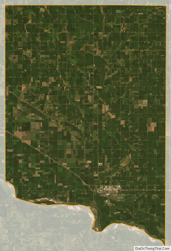
Clay County Satellite Map
Clay County Outline Map