Doña Ana County (Spanish: Condado de Doña Ana) is located in the southern part of the State of New Mexico, United States. As of the 2020 U.S. Census, its population was 219,561, which makes it the second-most populated county in New Mexico. Its county seat is Las Cruces, the second-most populous municipality in New Mexico after Albuquerque, with 111,385 as of the 2020 U.S. Census.
The county is named for Doña Ana Robledo, who died there in 1680 while fleeing the Pueblo Revolt. Doña Ana County is one of only two counties in the United States to have a diacritical mark in its name, the other being Coös County, New Hampshire. Notably, both Doña Ana County and Coös County lie on short international borders, the former with Mexico and the latter with Canada.
Doña Ana County consists of the Las Cruces, NM Metropolitan Statistical Area, which is also included in the El Paso–Las Cruces, TX–NM Combined Statistical Area. It borders Luna, Sierra, and Otero counties in New Mexico, and El Paso County, Texas to the east and southeast.
The state of Chihuahua, Mexico borders the county to the south. Construction of an improved barrier on the border was expedited in 2019 with waivers of environmental and other laws. The waivers are for 27 laws including protection of endangered species, archaeological sites, and historic places.
Being 67.3% Hispanic in 2020, Doña Ana is New Mexico’s largest majority-Hispanic county.
| Name: | Doña Ana County |
|---|---|
| FIPS code: | 35-013 |
| State: | New Mexico |
| Founded: | 1852 |
| Seat: | Las Cruces |
| Largest city: | Las Cruces |
| Total Area: | 3,814 sq mi (9,880 km²) |
| Land Area: | 3,808 sq mi (9,860 km²) |
| Total Population: | 219,561 |
| Population Density: | 55/sq mi (21/km²) |
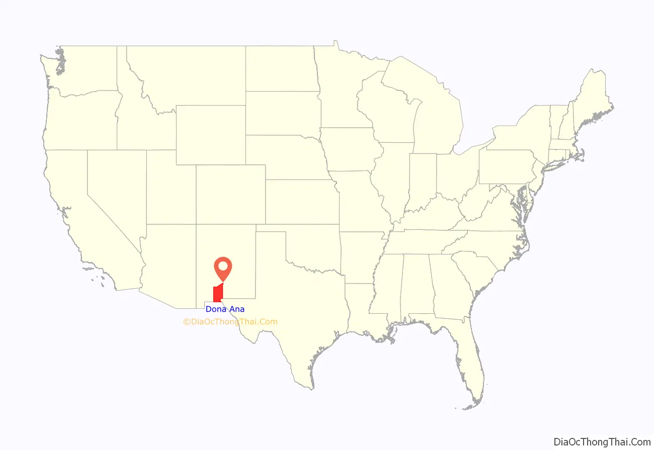
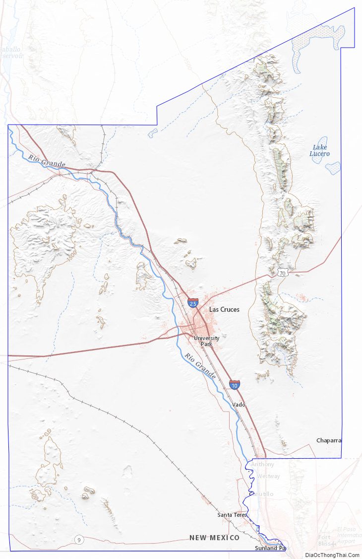
Doña Ana County location map. Where is Doña Ana County?
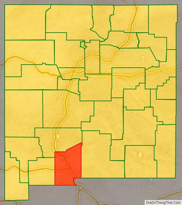
Doña Ana County Road Map
Geography
According to the U.S. Census Bureau, the county has a total area of 3,814 square miles (9,880 km), of which 3,808 square miles (9,860 km) is land and 6.9 square miles (18 km) (0.2%) is covered by water.
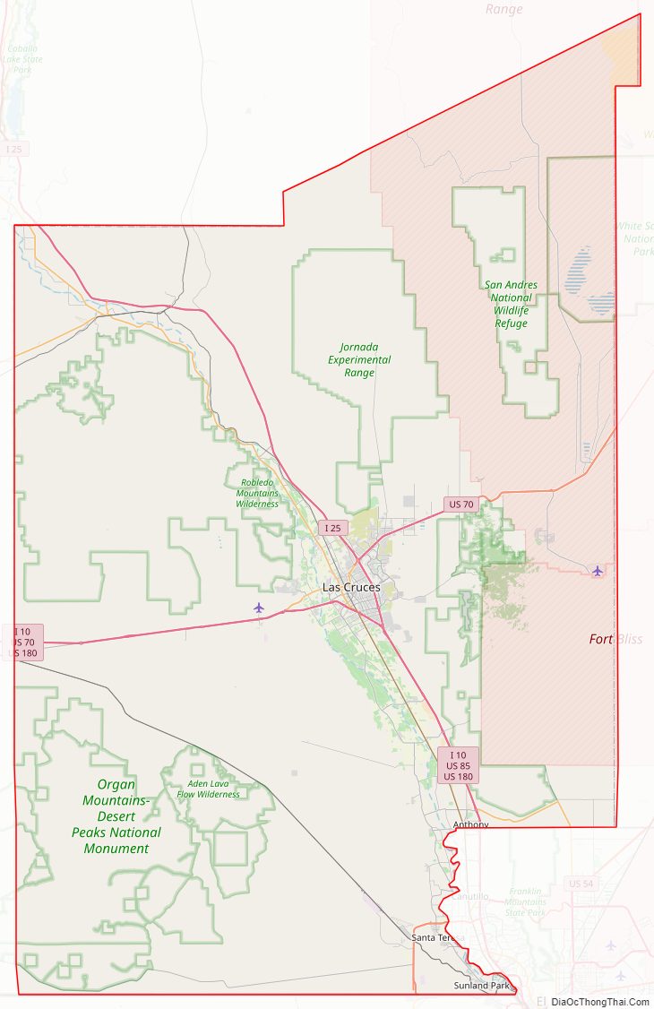
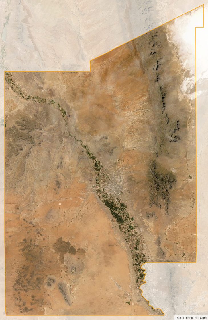
The county contains a number of prominent geographical features, most notably the Mesilla Valley (the flood plain of the Rio Grande) going north to south through the center and the Organ Mountains along the county’s eastern edge. Other mountain ranges in the county are the Robledo Mountains, Doña Ana Mountains, Sierra de las Uvas, the southern end of the San Andres Mountains, East Potrillo Mountains, and West Potrillo Mountains, as well as two small, isolated mountains, Tortugas (or A) Mountain on the east and Picacho Peak on the west side of Las Cruces. The county also includes one of New Mexico’s four large lava fields, the Aden Malpais, and one of the world’s largest maare volcanoes, Kilbourne Hole.
Adjacent counties and municipios
- Luna County – west
- Sierra County – north
- Otero County – east
- El Paso County, Texas – southeast
- Ascensión, Chihuahua, Mexico – south
- Juárez, Chihuahua, Mexico – south
National protected areas
- El Camino Real de Tierra Adentro National Historic Trail (part)
- Prehistoric Trackways National Monument
- San Andres National Wildlife Refuge
- White Sands National Park (part)
Doña Ana County Topographic Map
Doña Ana County Satellite Map
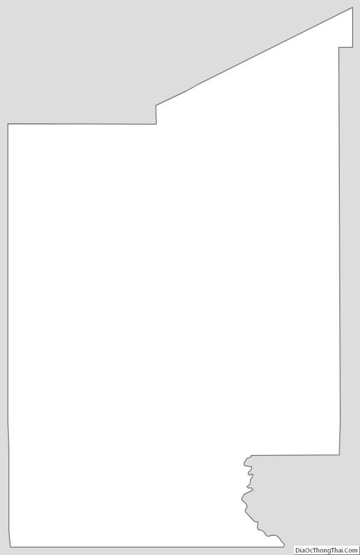
Doña Ana County Outline Map