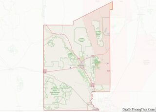
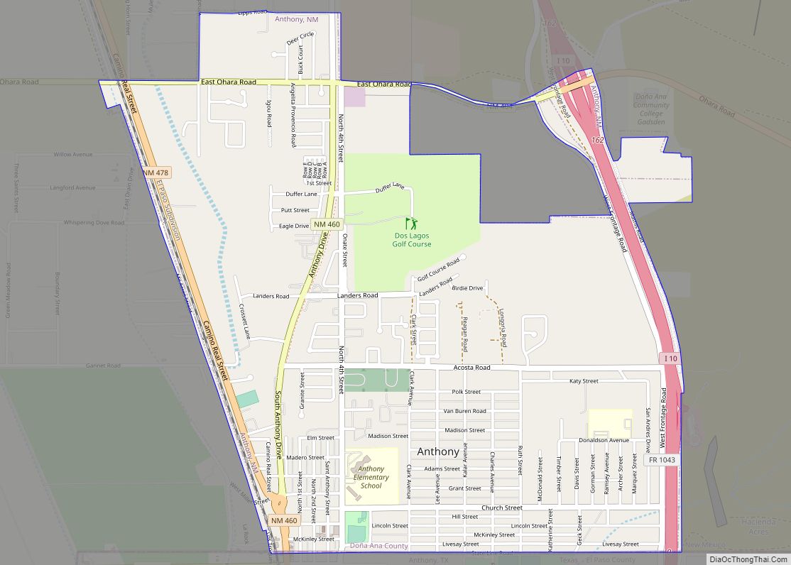
Anthony is a city in Doña Ana County, New Mexico, United States. The population was 9,360 at the 2010 census. It is located on the New Mexico–Texas state line in the Upper Mesilla Valley (immediately north of Anthony, Texas), and on Interstate 10, 24 miles south of Las Cruces and 18 miles north of El Paso, Texas.
| Name: | Anthony city |
|---|---|
| LSAD Code: | 25 |
| LSAD Description: | city (suffix) |
| State: | New Mexico |
| County: | Doña Ana County |
| Founded: | 2010 |
| Incorporated: | 2010 |
| Elevation: | 3,802 ft (1,159 m) |
| Total Area: | 2.70 sq mi (6.99 km²) |
| Land Area: | 2.70 sq mi (6.99 km²) |
| Water Area: | 0.00 sq mi (0.00 km²) |
| Total Population: | 8,693 |
| Population Density: | 3,220.82/sq mi (1,243.74/km²) |
| ZIP code: | 88021 |
| Area code: | 575 |
| FIPS code: | 3503820 |
| Website: | cityofanthonynm.com |
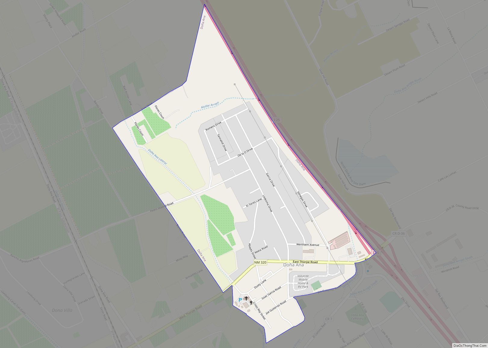
Online Interactive Map
Click on ![]() to view map in "full screen" mode.
to view map in "full screen" mode.
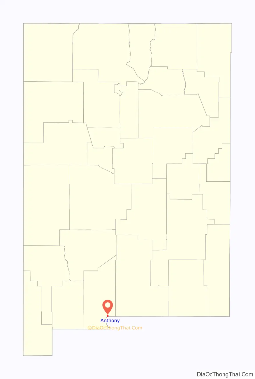
Anthony location map. Where is Anthony city?

History
In an election held on January 5, 2010, Anthony residents voted in favor of incorporating the community. A total of 561 votes were cast, with 410 (73.1%) supporting the measure and 151 (26.9%) opposed. The new municipality officially came into existence on July 1, 2010.
Anthony Road Map
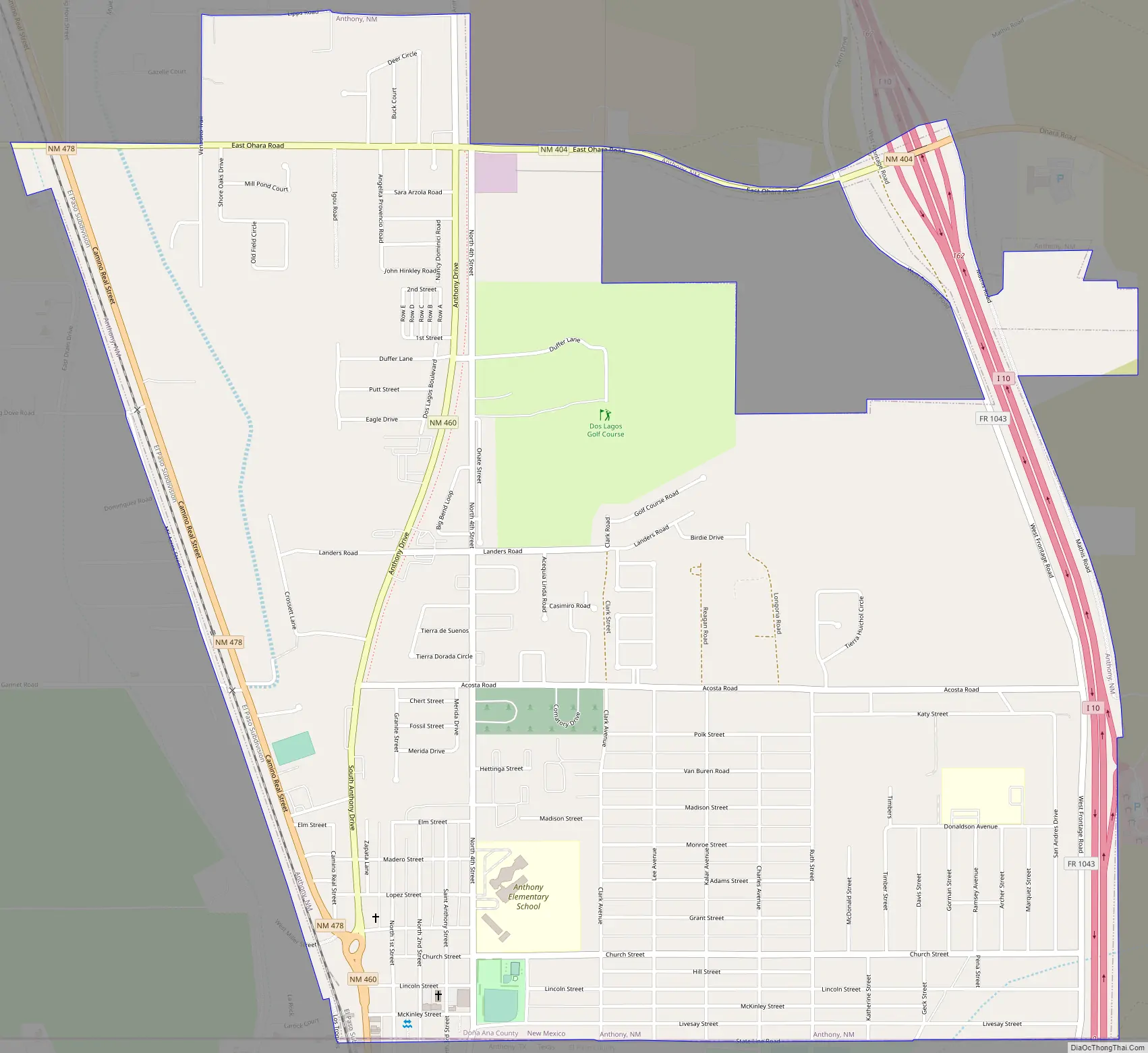
Anthony city Satellite Map

Geography
Anthony is located at 32°0′22″N 106°36′2″W / 32.00611°N 106.60056°W / 32.00611; -106.60056 (32.006028, -106.600669).
According to the United States Census Bureau, the CDP has a total area of 3.9 square miles (10 km), all land.
See also
Map of New Mexico State and its subdivision: Map of other states:- Alabama
- Alaska
- Arizona
- Arkansas
- California
- Colorado
- Connecticut
- Delaware
- District of Columbia
- Florida
- Georgia
- Hawaii
- Idaho
- Illinois
- Indiana
- Iowa
- Kansas
- Kentucky
- Louisiana
- Maine
- Maryland
- Massachusetts
- Michigan
- Minnesota
- Mississippi
- Missouri
- Montana
- Nebraska
- Nevada
- New Hampshire
- New Jersey
- New Mexico
- New York
- North Carolina
- North Dakota
- Ohio
- Oklahoma
- Oregon
- Pennsylvania
- Rhode Island
- South Carolina
- South Dakota
- Tennessee
- Texas
- Utah
- Vermont
- Virginia
- Washington
- West Virginia
- Wisconsin
- Wyoming