Early County is a county located on the southwest border of the U.S. state of Georgia. As of the 2020 census, the population was 10,854. The county seat is Blakely, where the Early County Courthouse is located. Created on December 15, 1818, it was named for Peter Early, 28th Governor of Georgia. The county is bordered on the west by the Chattahoochee River, forming the border with Alabama.
| Name: | Early County |
|---|---|
| FIPS code: | 13-099 |
| State: | Georgia |
| Founded: | 1818 |
| Named for: | Peter Early |
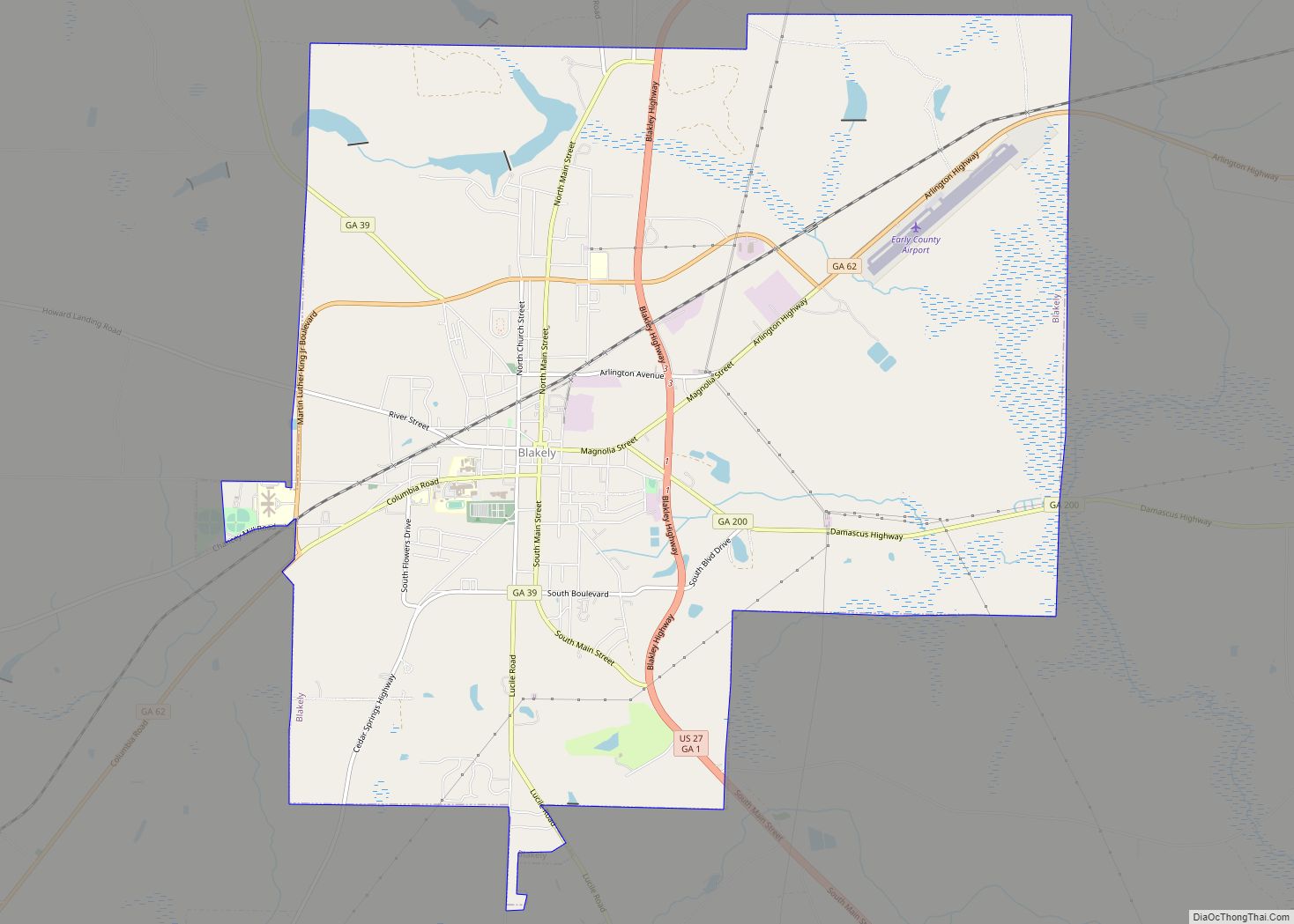
| Seat: | Blakely |
| Largest city: | Blakely |
| Total Area: | 516 sq mi (1,340 km²) |
| Land Area: | 513 sq mi (1,330 km²) |
| Total Population: | 10,854 |
| Population Density: | 21/sq mi (8/km²) |
| Time zone: | UTC−5 (Eastern) |
| Summer Time Zone (DST): | UTC−4 (EDT) |
| Website: | earlycounty.georgia.gov |
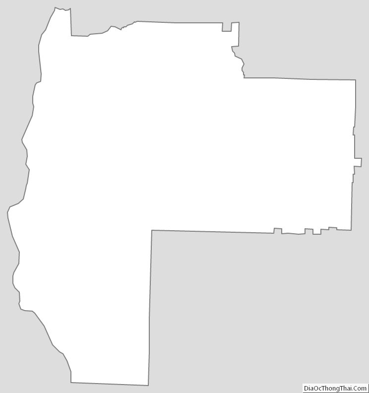
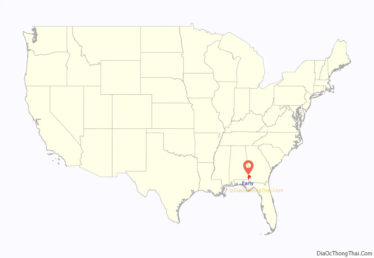
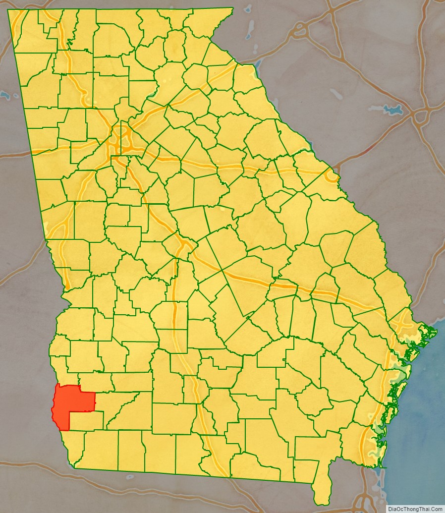
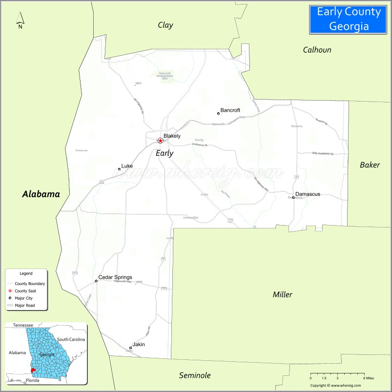
Early County location map. Where is Early County?
History
Prehistoric and nineteenth-century history has been preserved in some of Early County’s attractions. It is the site of the Kolomoki Mounds, a park preserving major earthworks built by indigenous peoples of the Woodland culture more than 1700 years ago, from 350 CE to 600 CE. This is one of the largest mound complexes in the United States and the largest in Georgia; it includes burial and ceremonial mounds. The siting of the mounds expresses the ancient people’s cosmology, as mounds are aligned with the sun at the spring equinox and summer solstice.
The county area was long territory of the historic Creek Indian peoples of the Southeast, particularly along the Chattahoochee River. Beginning in the early nineteenth century, European-American settlers began to encroach on this territory, pushing the Muscogee out during Indian Removal in the 1830s. The Muscogee were forced to Indian Territory west of the Mississippi River.
This area was developed by European-American settlers and their African-American enslaved workers for cotton plantations. Agriculture was critical to the economy into the 20th century. The Cohelee Creek Bridge in the county is the southernmost covered bridge still standing. One of the last wooden flagpoles from the American Civil War era is located at the historic courthouse in downtown Blakely.
According to the Equal Justice Initiative, in the period from 1877 to 1950, Early County had 24 documented lynchings of African Americans, the second-highest total in the state after the more densely populated Fulton County. Most were committed around the turn of the 20th century, in the period of Jim Crow conditions and suppression of black voting. This was still a largely agricultural area, and some disputes arose from confrontations between black sharecroppers or tenant farmers and white landowners, particularly at times to settle accounts. Another, Sidney Grist, was lynched on December 31, 1896, for “political activity”.
Among these cases were five African-American men lynched by whites in less than a month in the summer of 1899: three on July 23, one on July 25 (all reportedly for rape and robbery), and one on August 3 for attempted rape. Black men were frequently identified as suspects in such cases and lynched before any trial took place; further investigations have sometimes revealed consensual sex or other persons having committed the crime. A mass lynching took place in the county on December 30, 1915, when seven black men were lynched, allegedly as suspects in a murder.
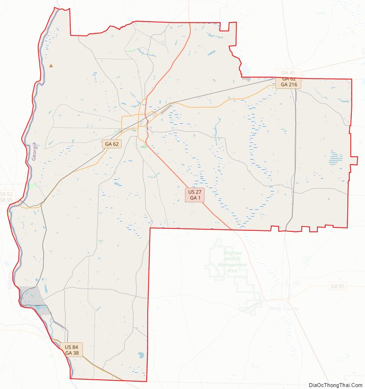
Early County Road Map
Geography
According to the U.S. Census Bureau, the county has a total area of 516 square miles (1,340 km), of which 513 square miles (1,330 km) is land and 3.8 square miles (9.8 km) (0.7%) is water.
The northeastern and eastern portions of Early County, east of Blakely, and extending south to a line east of Jakin, are located in the Spring Creek sub-basin of the ACF River Basin (Apalachicola-Chattahoochee-Flint River Basin). The western portion of the county is located in the Lower Chattahoochee River sub-basin of the same ACF River Basin.
Major highways
- U.S. Route 27
U.S. Route 27 Business- U.S. Route 84
- State Route 1
- State Route 1 Business
- State Route 39
- State Route 45
- State Route 62
- State Route 62 Bypass
- State Route 200
- State Route 216
- State Route 273
- State Route 273 Spur
- State Route 370
Adjacent counties
- Clay County (north)
- Calhoun County (northeast)
- Baker County (east)
- Miller County (southeast)
- Seminole County (south or east)
- Houston County, Alabama (southwest/CST Border)
- Henry County, Alabama (west/CST Border)
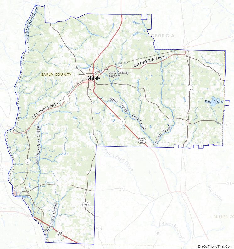
Early County Topographic Map
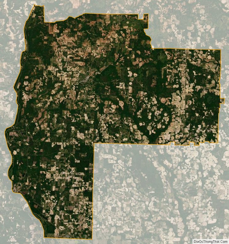
Early County Satellite Map
Early County Outline Map