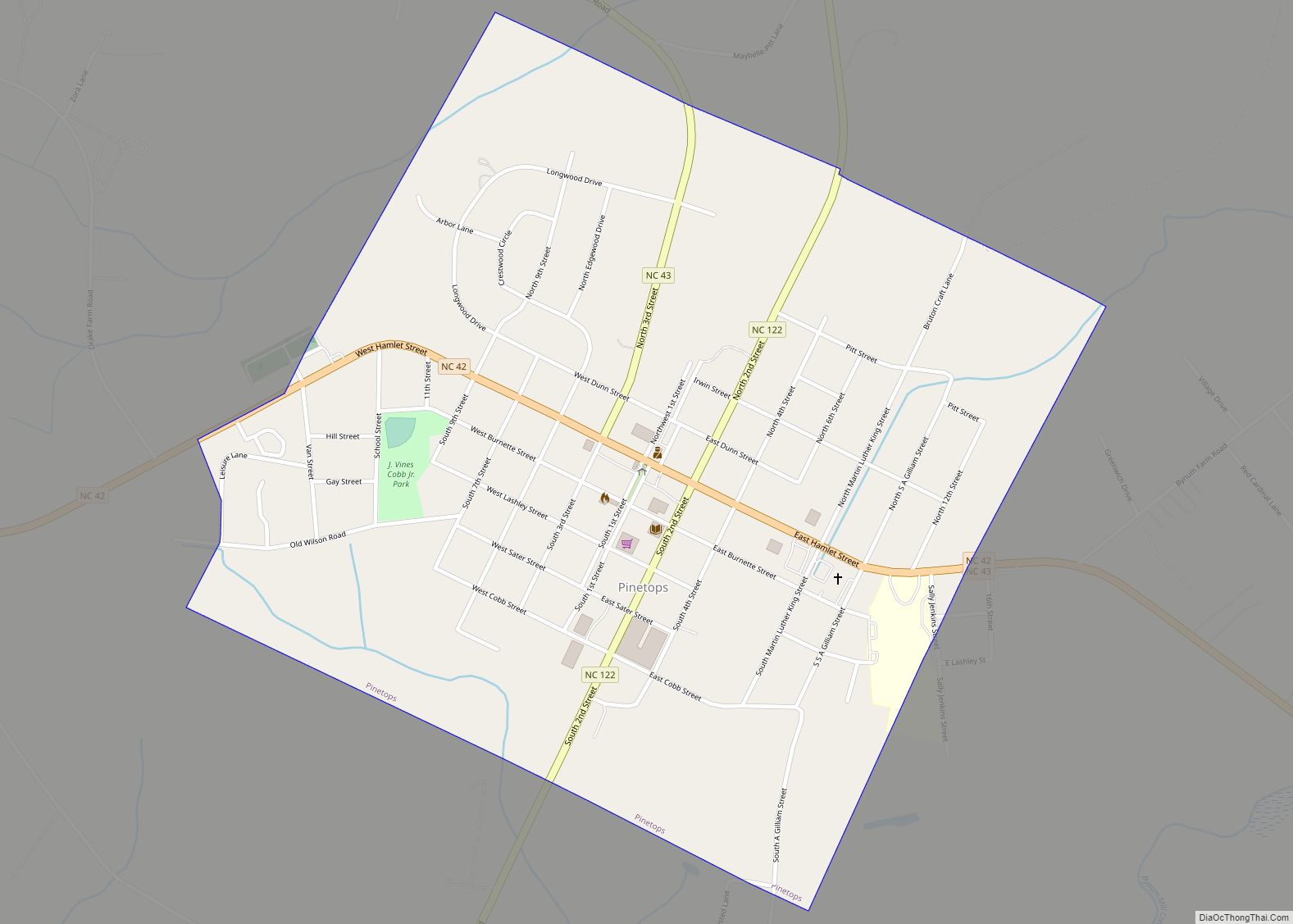
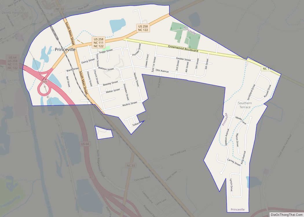
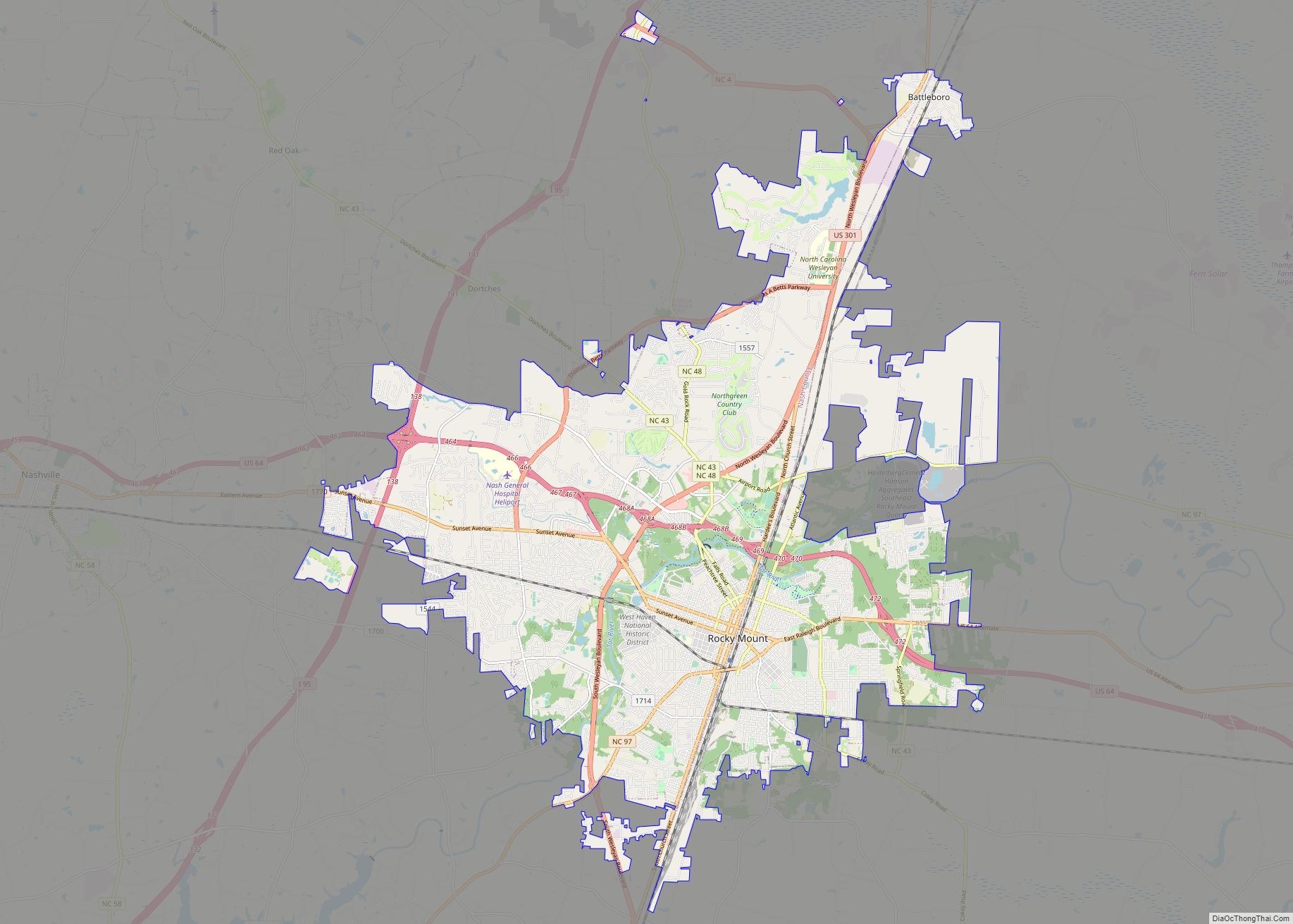
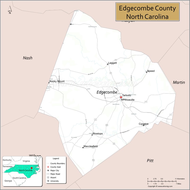
Edgecombe County is a county located in the U.S. state of North Carolina. As of the 2020 census, the population was 48,900. Its county seat is Tarboro. Edgecombe County is part of the Rocky Mount, North Carolina, Metropolitan Statistical Area.
| Name: | Edgecombe County |
|---|---|
| FIPS code: | 37-065 |
| State: | North Carolina |
| Founded: | 1741 |
| Named for: | Richard Edgcumbe |
| Seat: | Tarboro |
| Largest city: | Rocky Mount |
| Total Area: | 507 sq mi (1,310 km²) |
| Land Area: | 505 sq mi (1,310 km²) |
| Total Population: | 48,359 |
| Population Density: | 95.8/sq mi (37.0/km²) |
| Time zone: | UTC−5 (Eastern) |
| Summer Time Zone (DST): | UTC−4 (EDT) |
| Website: | www.edgecombecountync.gov |
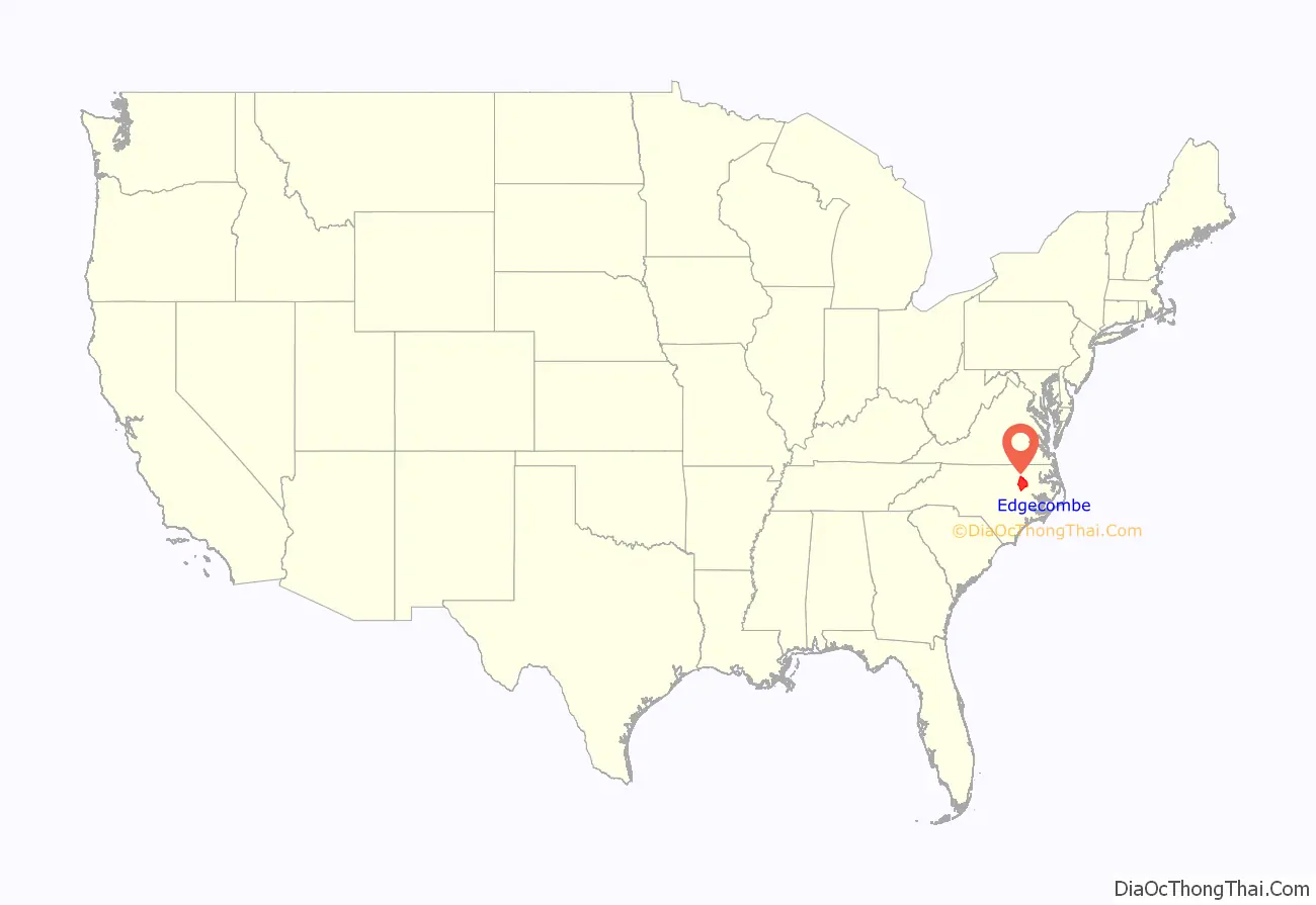
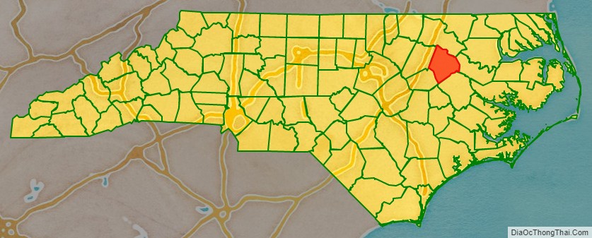
Edgecombe County location map. Where is Edgecombe County?
History
Historically home to the Tuscarora, a Native American tribe and First Nations band government of the Iroquoian family who where the most numerous Indigenous people in the area, living along the Roanoke, Neuse, Tar (Torhunta or Narhontes), and Pamlico rivers. After the 18th-century wars of 1711–1713 (known as the Tuscarora War) against English colonists and their Indigenous allies, most of the surviving Tuscarora left North Carolina and migrated north to Pennsylvania and New York, over a period of 90 years. Although many descendants of the Tuscarora still live in some parts of the county.
The current county was formed in 1741 from Bertie County. It was named for Richard Edgcumbe, a Member of Parliament (MP) from 1701 to 1742 and a lord of the treasury, who became 1st Baron Richard Edgecombe in 1742.
In 1746 part of Edgecombe County became Granville County; in 1758 another portion became Halifax County; and in 1777 yet another part became Nash County. In 1855 the formation of Wilson County from parts of Edgecombe County, Johnston County, Nash County, and Wayne County reduced Edgecombe to its present size, with a minor boundary adjustments.
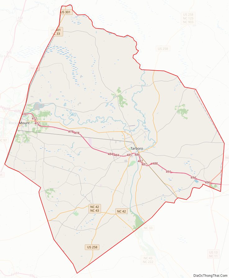
Edgecombe County Road Map
Geography
According to the U.S. Census Bureau, the county has a total area of 507 square miles (1,310 km), of which 505 square miles (1,310 km) is land and 1.3 square miles (3.4 km) (0.3%) is water.
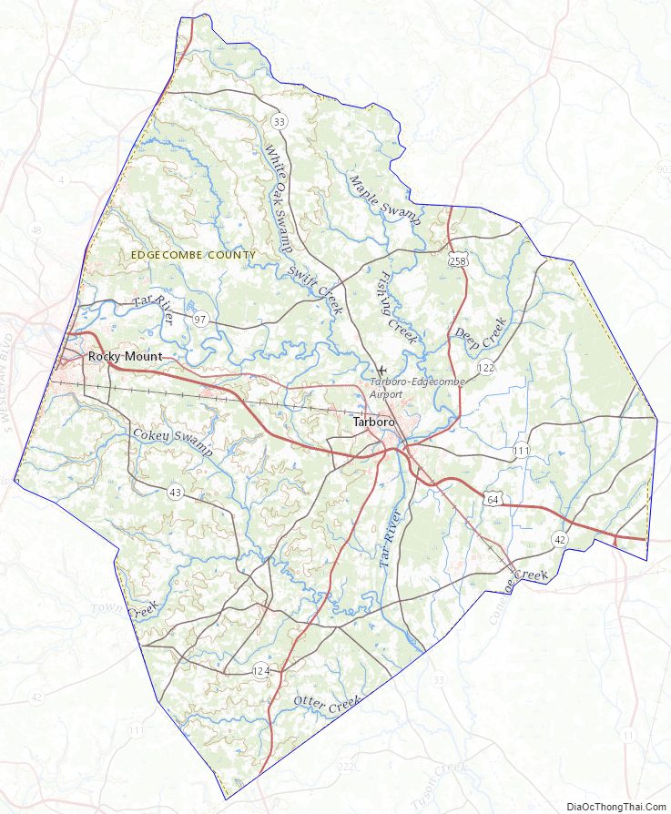
Major water bodies
- Cokey Swamp
- Deep Creek
- Dickson Branch
- Fishing Creek
- Swift Creek
- Tar River
- Town Creek
Adjacent counties
- Halifax County – north
- Martin County – east
- Pitt County – south-southeast
- Wilson County – southwest
- Nash County – west
Major highways
- Future I-87 (Concurrency with US 64)
- US 13
- US 64
- US 64 Alt. (Princeville)
- US 64 Alt. (Rocky Mount)
- US 258
- US 301
- NC 11
- NC 33
- NC 42
- NC 43
- NC 43 Bus.
- NC 97
- NC 111
- NC 122
- NC 124
- NC 142
Major Infrastructure
- CSX Intermodal Terminal, Shared between Nash County
- Rocky Mount Station
Edgecombe County Topographic Map
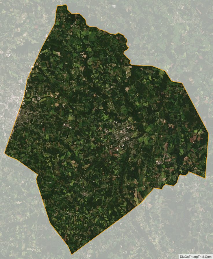
Edgecombe County Satellite Map
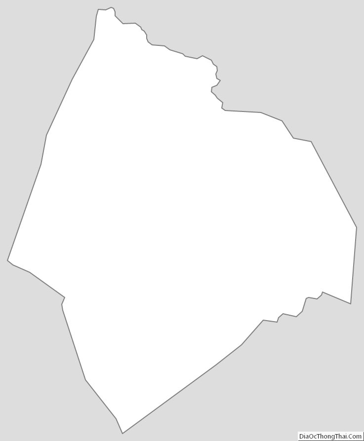
Edgecombe County Outline Map