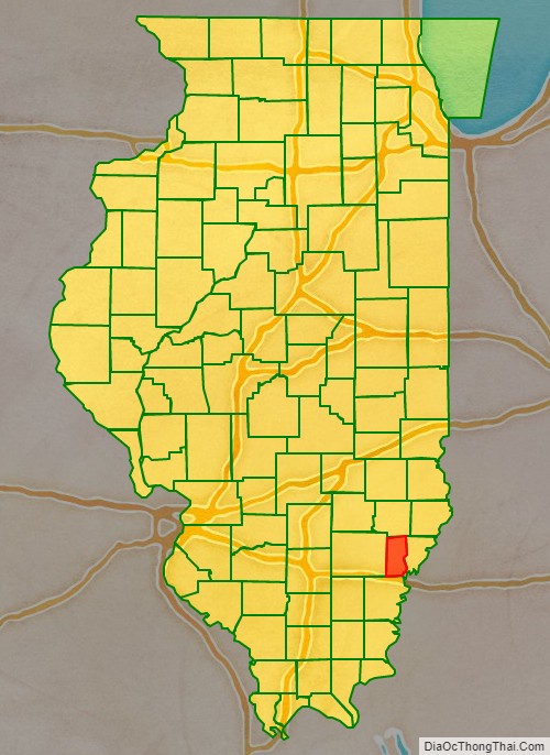
Edwards County is a county located in the U.S. state of Illinois. As of the 2020 census, the population was 6,245. Its county seat is Albion.
| Name: | Edwards County |
|---|---|
| FIPS code: | 17-047 |
| State: | Illinois |
| Founded: | 1814 |
| Named for: | Ninian Edwards |
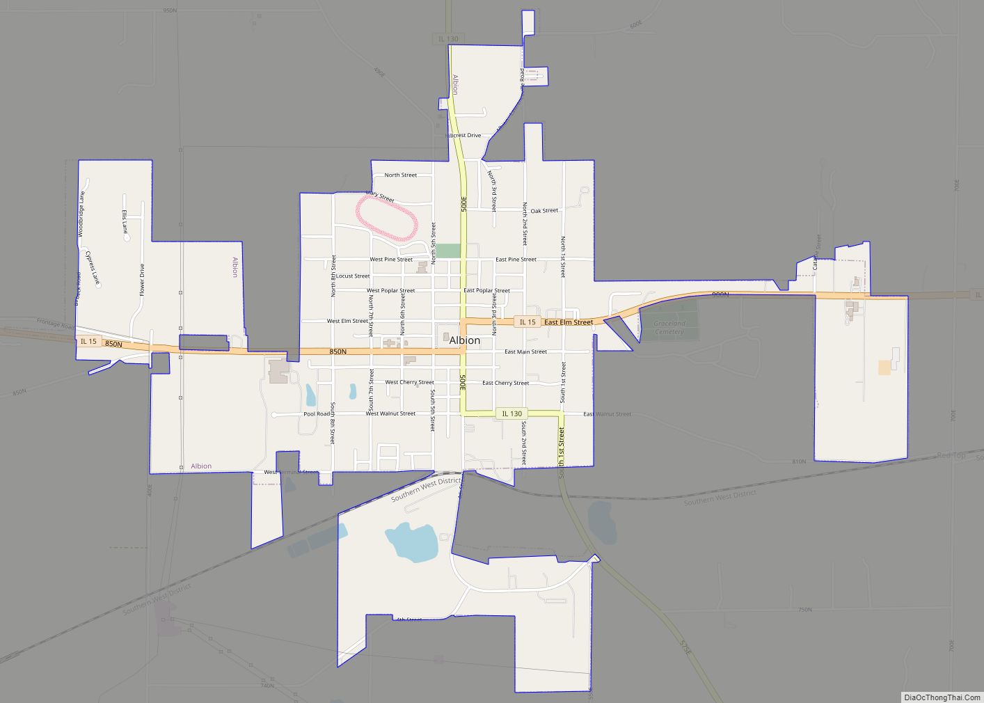
| Seat: | Albion |
| Largest city: | Albion |
| Total Area: | 223 sq mi (580 km²) |
| Land Area: | 222 sq mi (570 km²) |
| Total Population: | 6,721 |
| Population Density: | 30/sq mi (12/km²) |
| Time zone: | UTC−6 (Central) |
| Summer Time Zone (DST): | UTC−5 (CDT) |
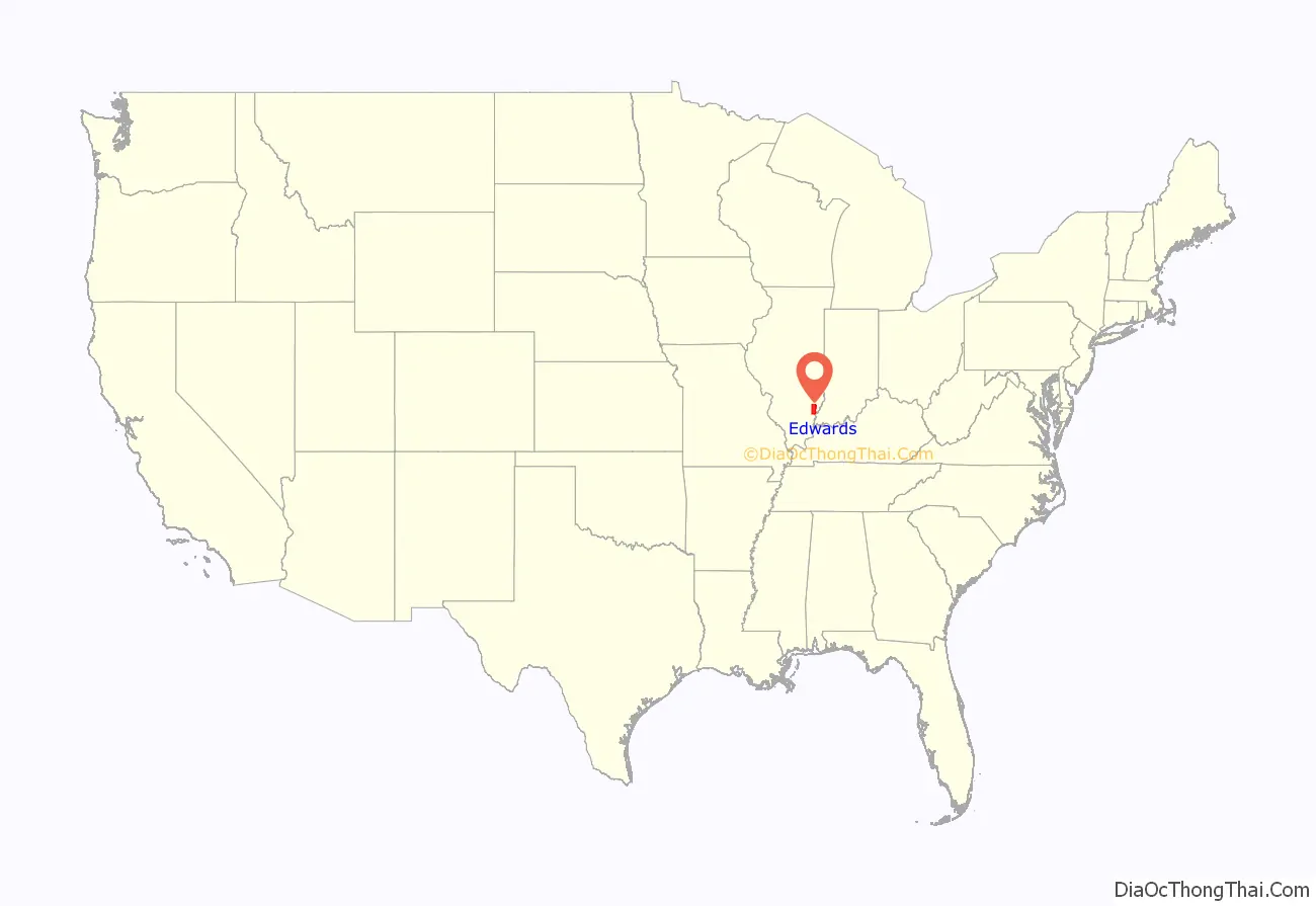
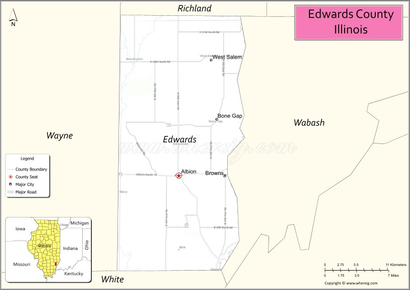
Edwards County location map. Where is Edwards County?
History
Edwards County was named for Ninian Edwards, the governor of the Illinois Territory, and, later, governor of Illinois.
Edwards County is subdivided into “Road Districts”, rather than “Townships” as in most Illinois counties. Pursuant to the Land Ordinance of 1785, the Northwest Territory (including Illinois) was surveyed and mostly organized into townships that are six miles square; but Edwards County was settled prior to that survey, and its pre-existing Road Districts do not generally correspond with the survey’s townships.
The county between 1819 and 1821. At this point Crawford County was split off from Edwards, and Wayne Counties.
Edwards between 1821 and 1824
Edwards in 1824, reduced to its current size by the creation of Wabash County
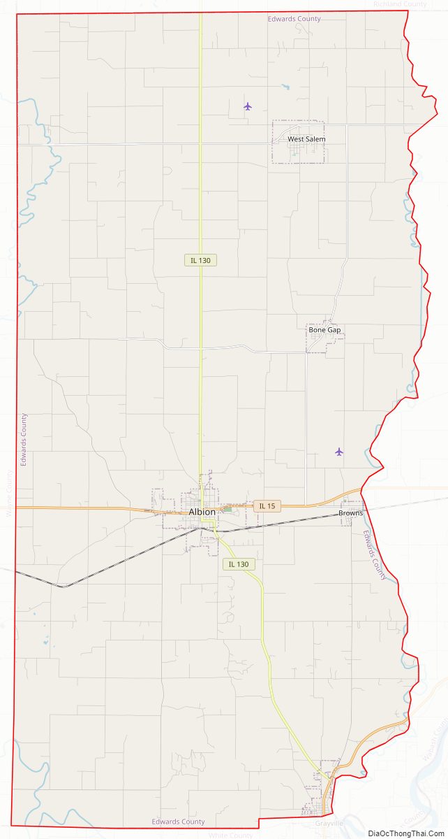
Edwards County Road Map
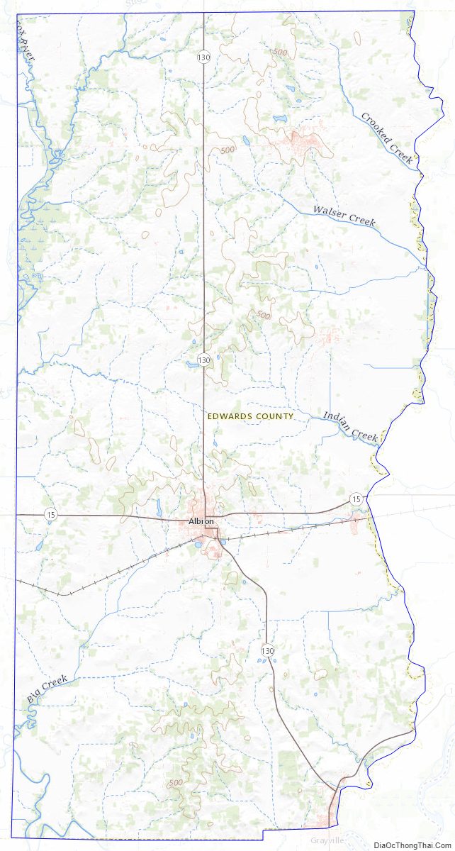
Geography
According to the U.S. Census Bureau, the county has a total area of 223 square miles (580 km), of which 222 square miles (570 km) is land and 0.3 square miles (0.78 km) (0.1%) is water. It is the fourth-smallest county in Illinois by area.
When Edwards County was formed in 1814, it comprised nearly half of the State of Illinois. New counties were formed from it until, in 1824, it assumed its present form from the creation of Wabash County. The two are the fourth and fifth smallest counties in Illinois.
Edwards County is separated from Wabash County by the Bonpas Creek.
Climate and weather
In recent years, average temperatures in the county seat of Albion have ranged from a low of 21 °F (−6 °C) in January to a high of 89 °F (32 °C) in July, although a record low of −20 °F (−29 °C) was recorded in January 1982 and a record high of 109 °F (43 °C) was recorded in July 1954. Average monthly precipitation ranged from 2.57 inches (65 mm) in January to 5.13 inches (130 mm) in April.
Major highways
- Illinois Route 1
- Illinois Route 15
- Illinois Route 130
Adjacent counties
- Richland County (north)
- Wabash County (east)
- White County (south)
- Wayne County (west)
Edwards County Topographic Map
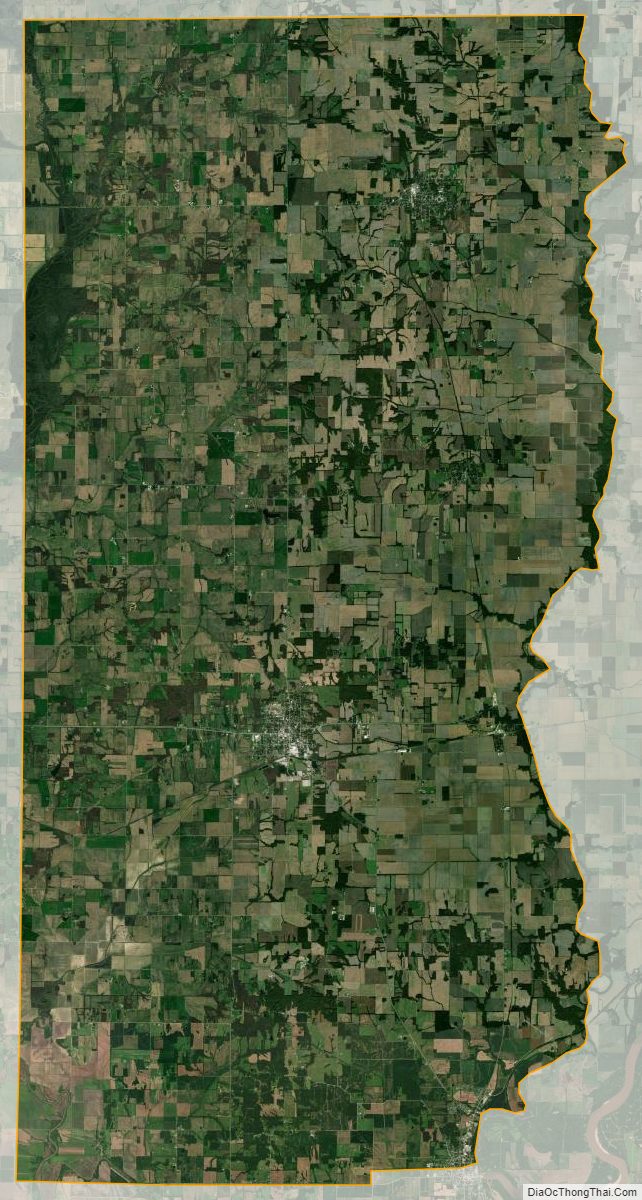
Edwards County Satellite Map
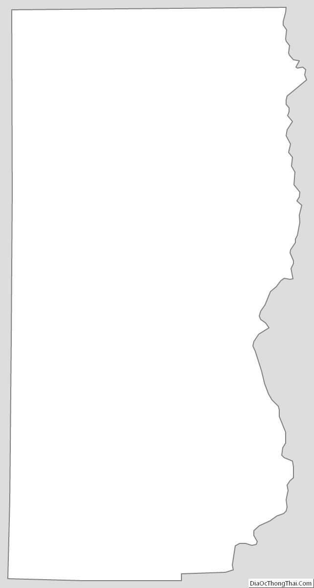
Edwards County Outline Map