Grayville is a city in Edwards and White counties in the U.S. state of Illinois. As of the 2020 census, the city’s population was 1,550, down from 1,666 at the 2010 census. Grayville is the birthplace of naval hero James Meredith Helm.
| Name: | Grayville city |
|---|---|
| LSAD Code: | 25 |
| LSAD Description: | city (suffix) |
| State: | Illinois |
| County: | Edwards County, White County |
| Elevation: | 423 ft (129 m) |
| Total Area: | 2.17 sq mi (5.62 km²) |
| Land Area: | 2.13 sq mi (5.51 km²) |
| Water Area: | 0.04 sq mi (0.11 km²) |
| Total Population: | 1,550 |
| Population Density: | 728.73/sq mi (281.34/km²) |
| Area code: | 618 |
| FIPS code: | 1731165 |
| Website: | https://grayville-il.gov/ |
Online Interactive Map
Click on ![]() to view map in "full screen" mode.
to view map in "full screen" mode.
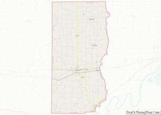
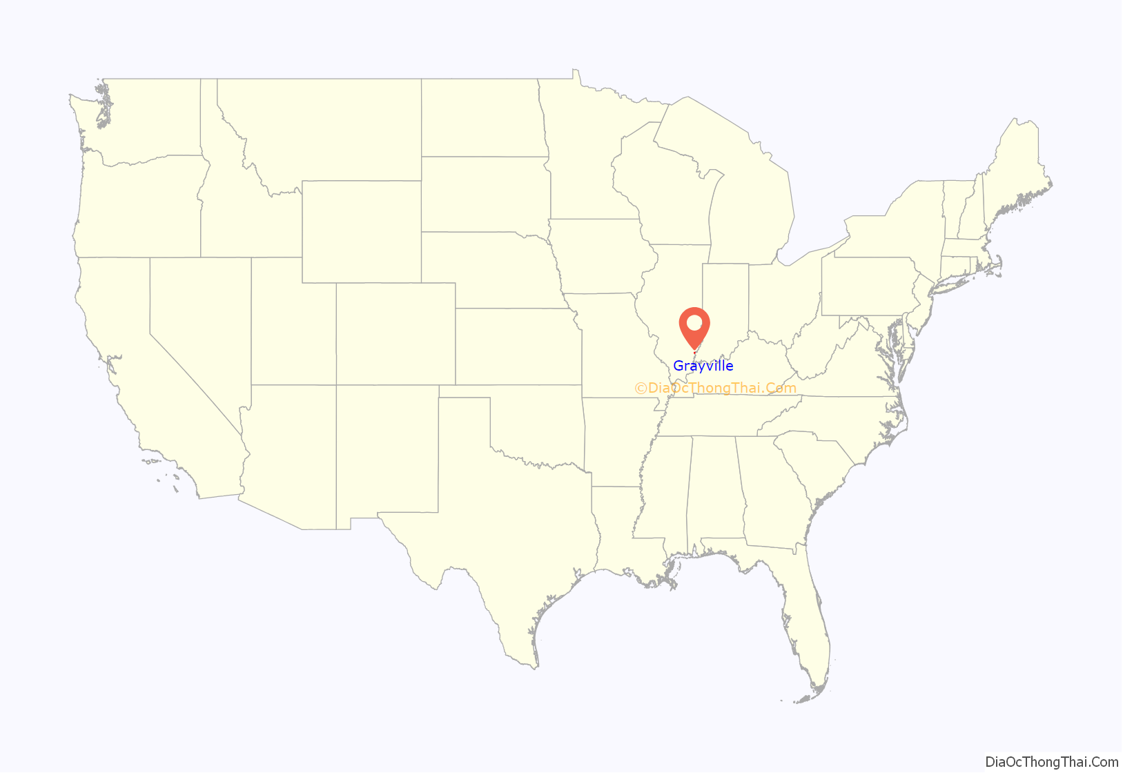
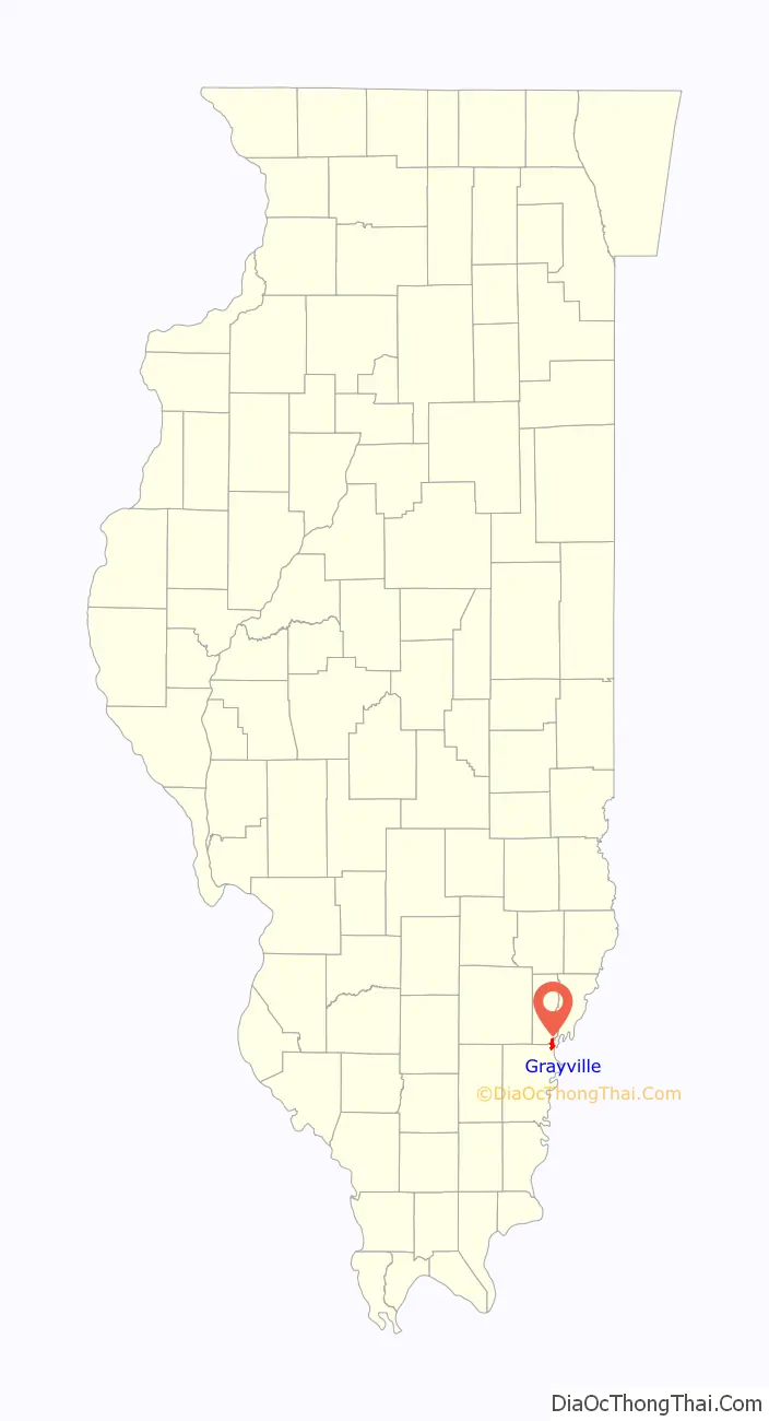
Grayville location map. Where is Grayville city?
History
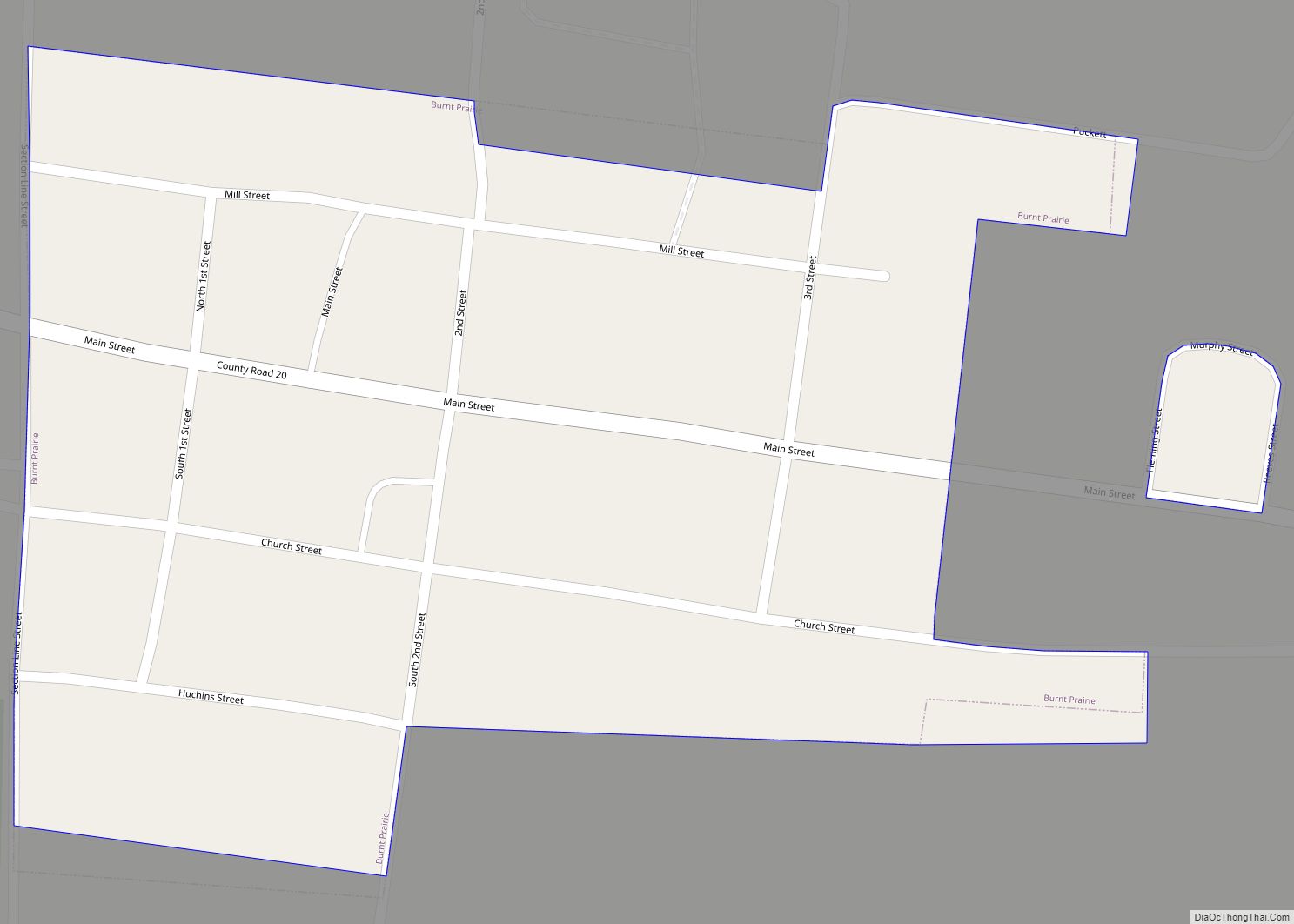
Grayville was founded in about 1810 by the head of the Gray family, James Gray. The city became popular for its oil. Many people came to drill for oil. In the 1950s the population began to drop. Unlike other Illinois oil towns like Crossville, Illinois Grayville is still relevant to its Two Counties
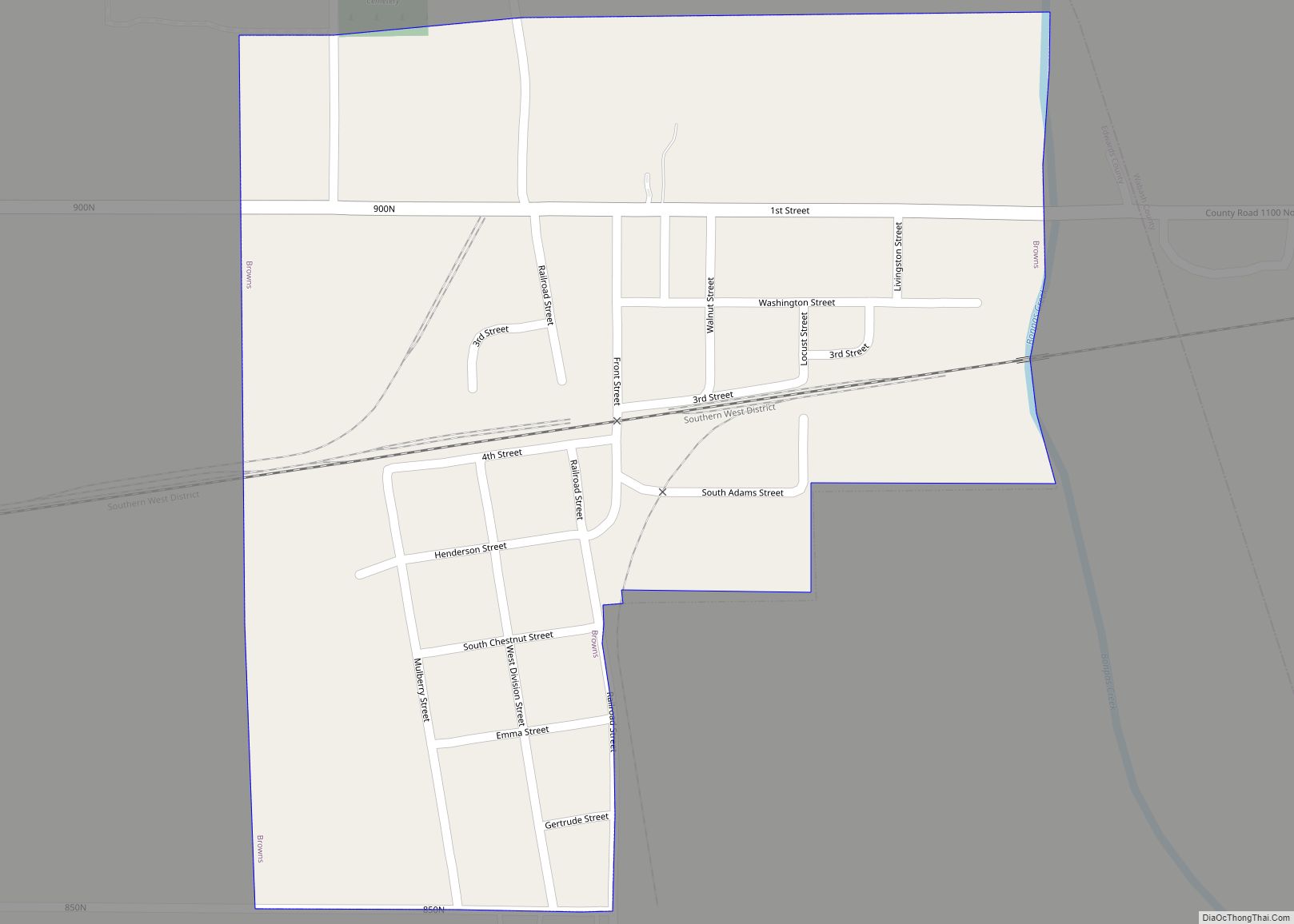
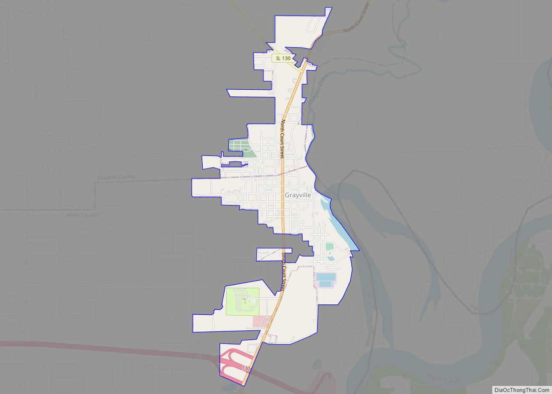
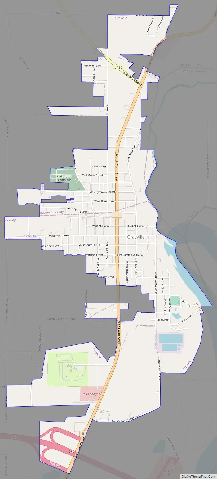
Grayville Road Map
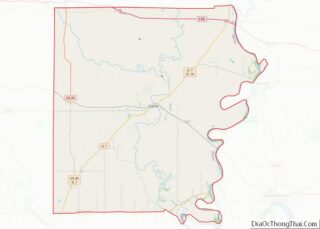
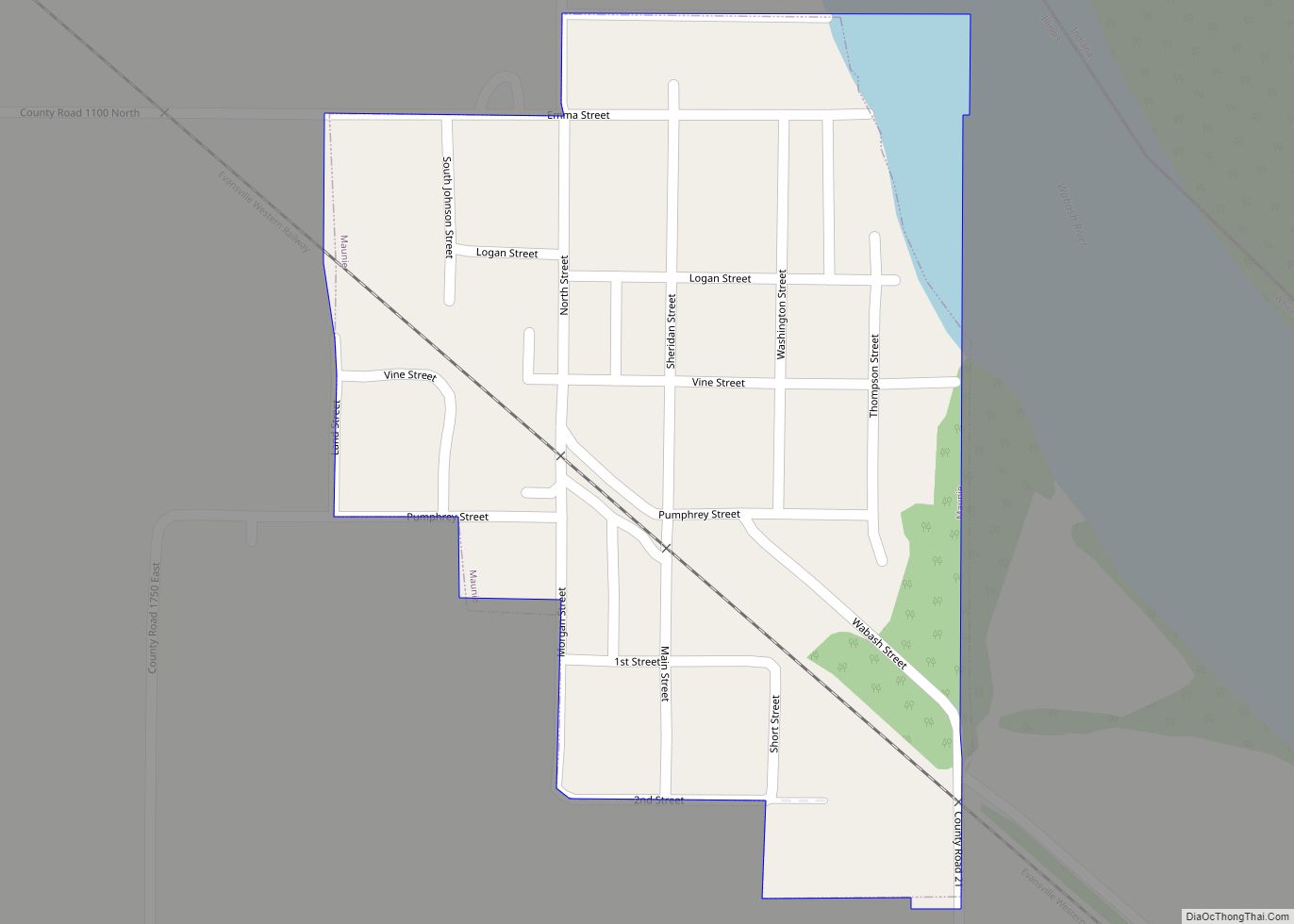
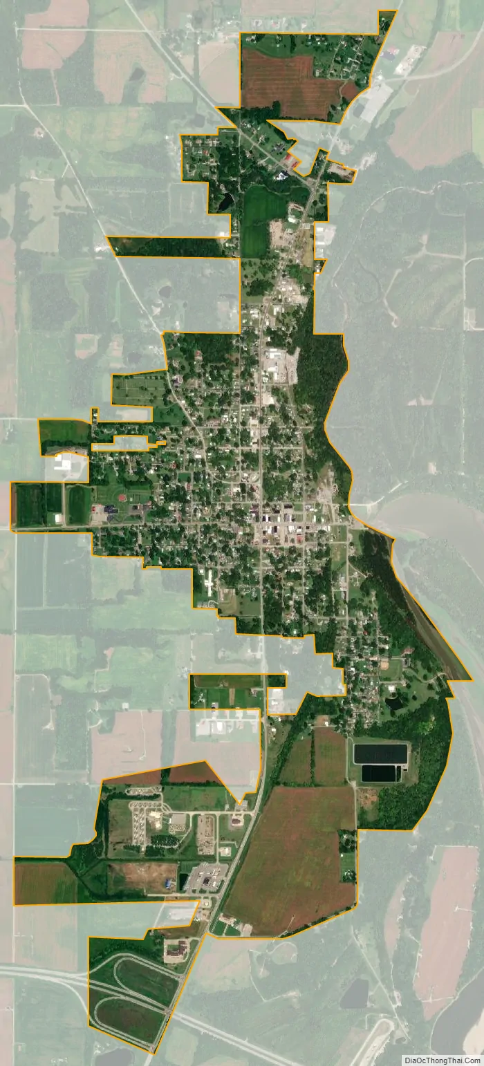
Grayville city Satellite Map
Geography
Grayville is located at 38°15′33″N 87°59′48″W / 38.25917°N 87.99667°W / 38.25917; -87.99667 (38.259146, -87.996678).
According to the 2021 census gazetteer files, Grayville has a total area of 2.17 square miles (5.62 km), of which 2.13 square miles (5.52 km) (or 98.02%) is land and 0.04 square miles (0.10 km) (or 1.98%) is water.
See also
Map of Illinois State and its subdivision:- Adams
- Alexander
- Bond
- Boone
- Brown
- Bureau
- Calhoun
- Carroll
- Cass
- Champaign
- Christian
- Clark
- Clay
- Clinton
- Coles
- Cook
- Crawford
- Cumberland
- De Kalb
- De Witt
- Douglas
- Dupage
- Edgar
- Edwards
- Effingham
- Fayette
- Ford
- Franklin
- Fulton
- Gallatin
- Greene
- Grundy
- Hamilton
- Hancock
- Hardin
- Henderson
- Henry
- Iroquois
- Jackson
- Jasper
- Jefferson
- Jersey
- Jo Daviess
- Johnson
- Kane
- Kankakee
- Kendall
- Knox
- La Salle
- Lake
- Lake Michigan
- Lawrence
- Lee
- Livingston
- Logan
- Macon
- Macoupin
- Madison
- Marion
- Marshall
- Mason
- Massac
- McDonough
- McHenry
- McLean
- Menard
- Mercer
- Monroe
- Montgomery
- Morgan
- Moultrie
- Ogle
- Peoria
- Perry
- Piatt
- Pike
- Pope
- Pulaski
- Putnam
- Randolph
- Richland
- Rock Island
- Saint Clair
- Saline
- Sangamon
- Schuyler
- Scott
- Shelby
- Stark
- Stephenson
- Tazewell
- Union
- Vermilion
- Wabash
- Warren
- Washington
- Wayne
- White
- Whiteside
- Will
- Williamson
- Winnebago
- Woodford
- Alabama
- Alaska
- Arizona
- Arkansas
- California
- Colorado
- Connecticut
- Delaware
- District of Columbia
- Florida
- Georgia
- Hawaii
- Idaho
- Illinois
- Indiana
- Iowa
- Kansas
- Kentucky
- Louisiana
- Maine
- Maryland
- Massachusetts
- Michigan
- Minnesota
- Mississippi
- Missouri
- Montana
- Nebraska
- Nevada
- New Hampshire
- New Jersey
- New Mexico
- New York
- North Carolina
- North Dakota
- Ohio
- Oklahoma
- Oregon
- Pennsylvania
- Rhode Island
- South Carolina
- South Dakota
- Tennessee
- Texas
- Utah
- Vermont
- Virginia
- Washington
- West Virginia
- Wisconsin
- Wyoming