Elmore County is a county located in the east central portion of the U.S. state of Alabama. As of the 2020 census, the population was 87,977. Its county seat is Wetumpka. Its name is in honor of General John A. Elmore.
Elmore County is part of the Montgomery, AL Metropolitan Statistical Area.
| Name: | Elmore County |
|---|---|
| FIPS code: | 01-051 |
| State: | Alabama |
| Founded: | February 15, 1866 |
| Named for: | John A. Elmore |
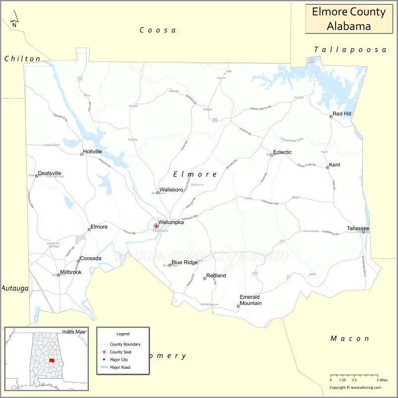
| Seat: | Wetumpka |
| Largest city: | Millbrook |
| Total Area: | 657 sq mi (1,700 km²) |
| Land Area: | 618 sq mi (1,600 km²) |
| Total Population: | 87,977 |
| Population Density: | 130/sq mi (52/km²) |
| Time zone: | UTC−6 (Central) |
| Summer Time Zone (DST): | UTC−5 (CDT) |
| Website: | www.elmoreco.org |
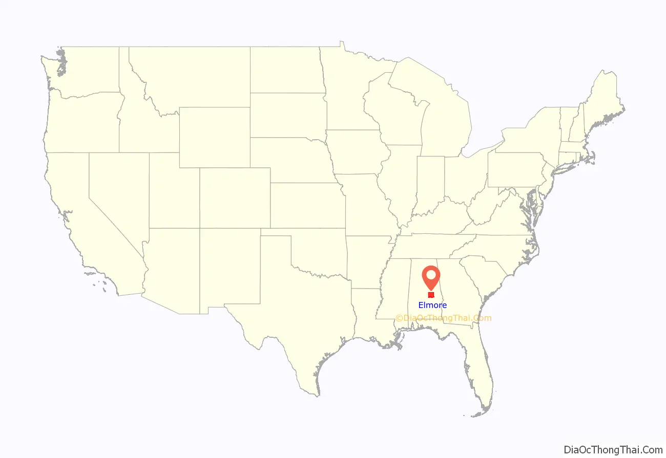
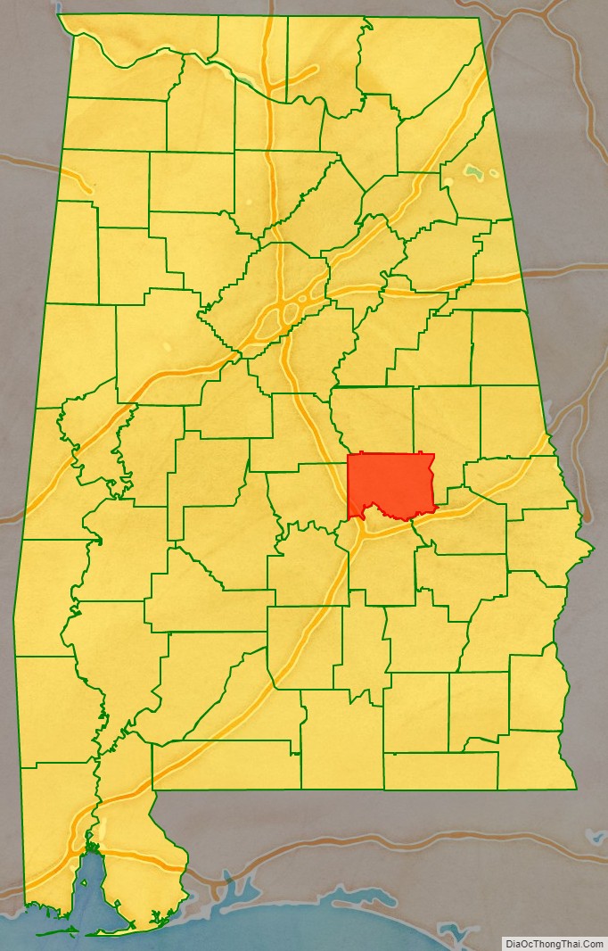
Elmore County location map. Where is Elmore County?
History
Elmore County was established on February 15, 1866, from portions of Autauga, Coosa, Tallapoosa, and Montgomery counties.
The French established Fort Toulouse at the confluence of the Coosa and Tallapoosa in 1717.
Gen. Andrew Jackson then erected Fort Jackson in 1814 at the site of Fort Toulouse following the Battle of Horseshoe Bend.
On July 2, 1901, a local mob lynched Robert (or perhaps Robin) White. In a strange turn of events, a local farmer, George Howard confessed in court to the killing and named five other local men as killers. Three men were convicted in the killing and sentenced to ten years in prison. On 9 June 1902, they were pardoned by Governor Jelks. In 1915 another Black man was taken from the local jail and murdered.
In 1950, a City Planning Board was formed in the county seat of Wetumpka.
In 1957, the National Guard Armory was constructed in the county seat of Wetumpka.
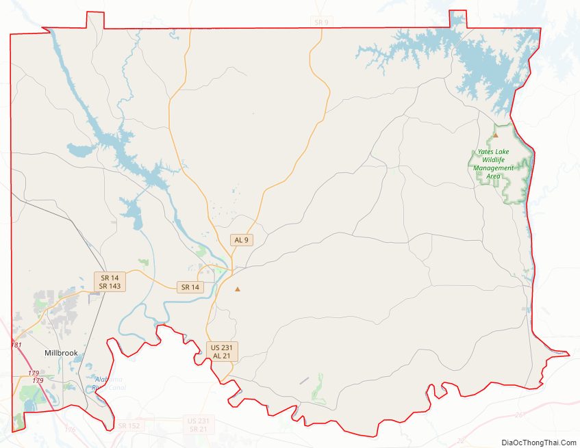
Elmore County Road Map
Geography
According to the United States Census Bureau, the county has a total area of 657 square miles (1,700 km), of which 618 square miles (1,600 km) is land and 39 square miles (100 km) (5.9%) is water.
The county is located on the fall line of the eastern United States, and consequently boasts a diverse geography. Most of the county contains rolling hills, being located in the Piedmont region. Some parts of the county do have open fields and farmland as well. The cities of Wetumpka and Tallassee are important river cities located on the fall line.
Major highways
- Interstate 65
- U.S. Highway 82
- U.S. Highway 231
- State Route 9
- State Route 14
- State Route 50
- State Route 63
- State Route 111
- State Route 143
- State Route 170
- State Route 212
- State Route 229
Adjacent counties
- Coosa County (north)
- Tallapoosa County (northeast)
- Macon County (southeast)
- Montgomery County (south)
- Autauga County (west)
- Chilton County (northwest)
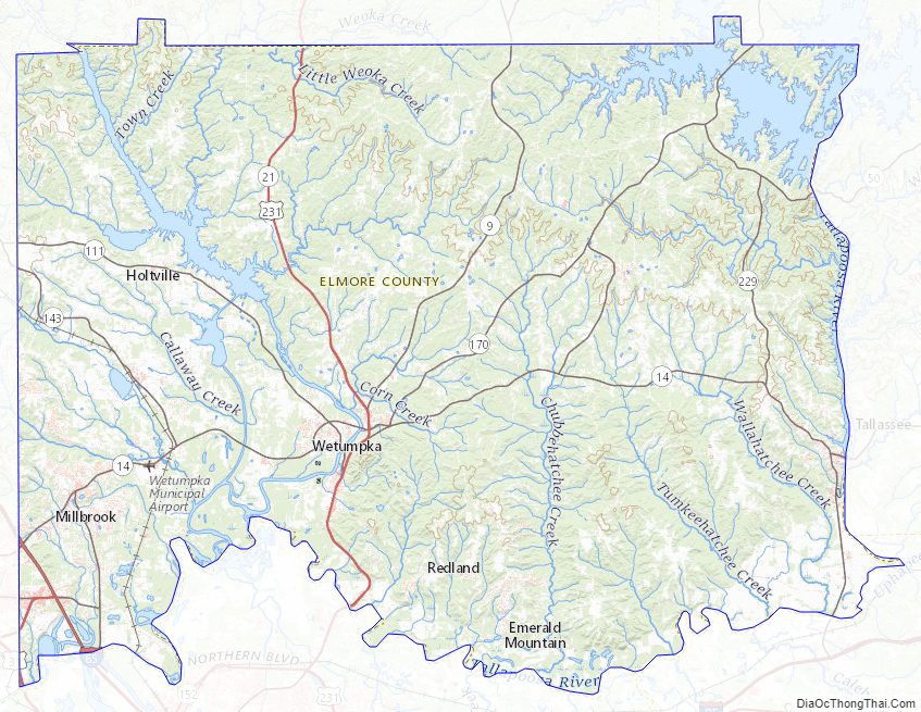
Elmore County Topographic Map
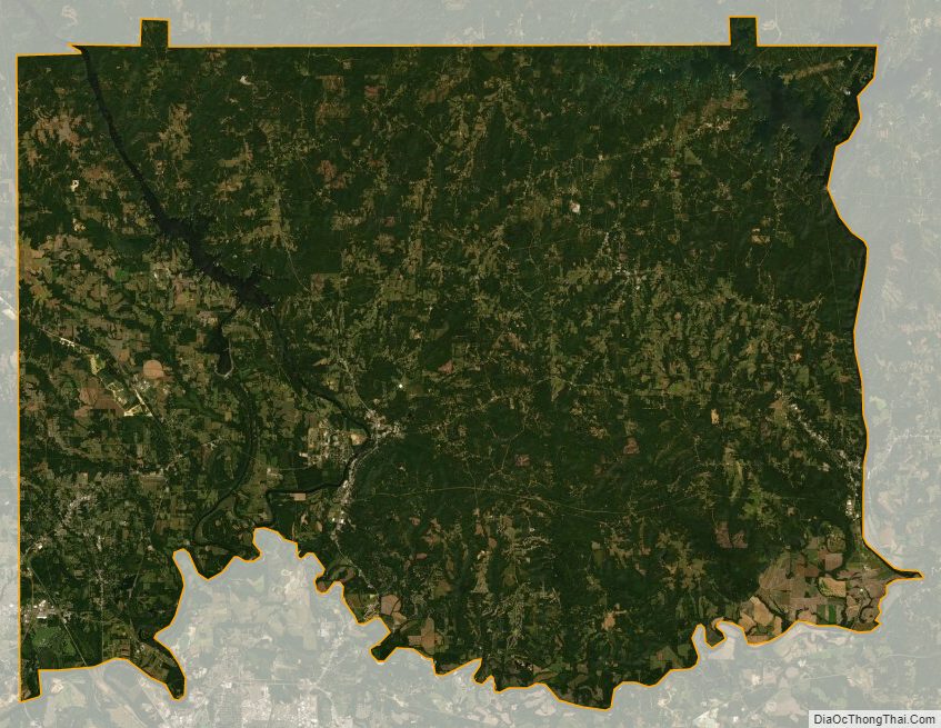
Elmore County Satellite Map
Elmore County Outline Map