Essex County is a county in the U.S. state of New York. As of the 2020 census, the population was 37,381. Its county seat is the hamlet of Elizabethtown. Its name is from the English county of Essex. Essex is one of only 2 counties that are entirely within the Adirondack Park, the other being Hamilton County.
| Name: | Essex County |
|---|---|
| FIPS code: | 36-031 |
| State: | New York |
| Founded: | 1799 |
| Named for: | Essex |
| Seat: | Elizabethtown |
| Total Area: | 1,916 sq mi (4,960 km²) |
| Land Area: | 1,794 sq mi (4,650 km²) |
| Total Population: | 37,381 |
| Population Density: | 20.8/sq mi (8.0/km²) |
| Time zone: | UTC−5 (Eastern) |
| Summer Time Zone (DST): | UTC−4 (EDT) |
| Website: | essexcountyny.gov |
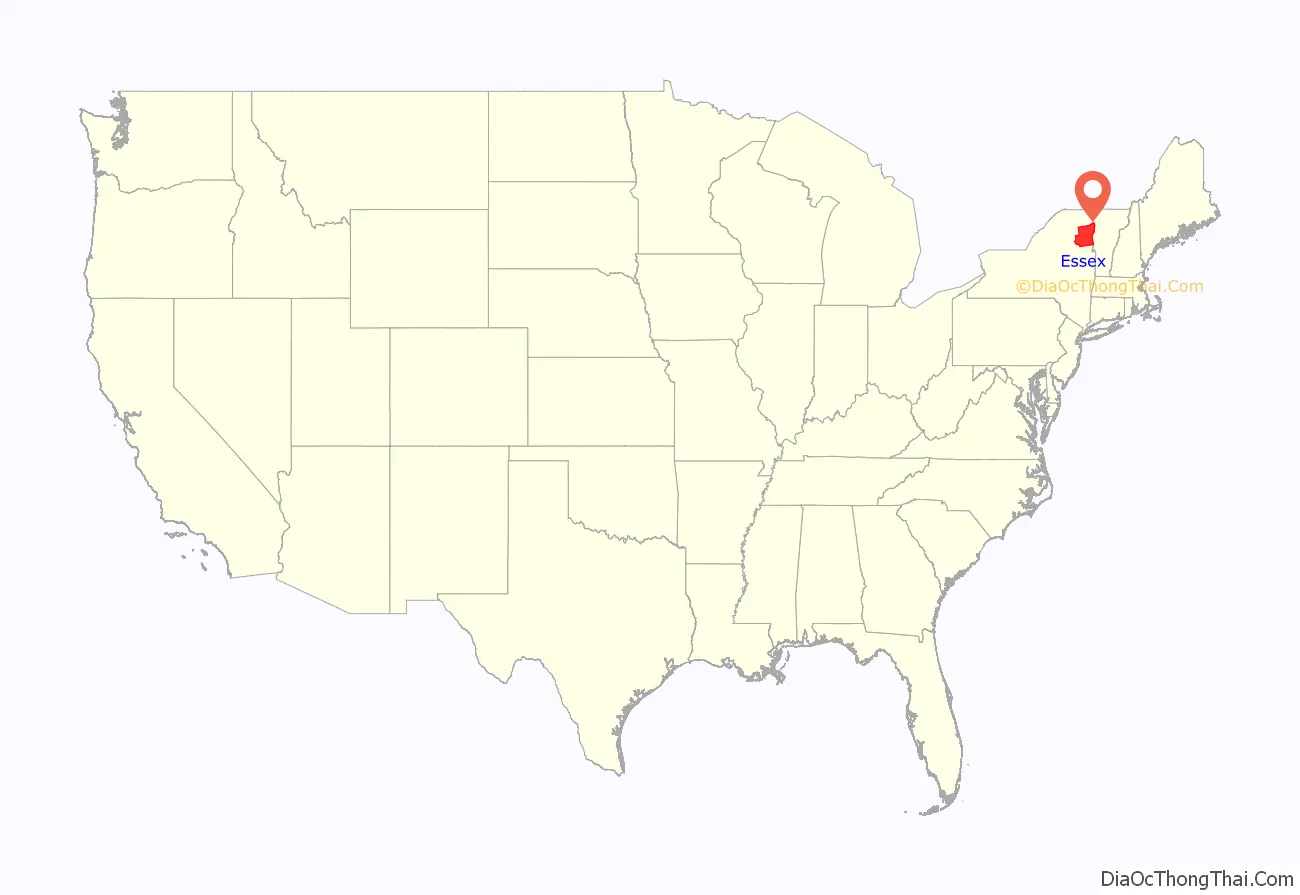
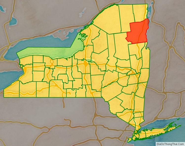
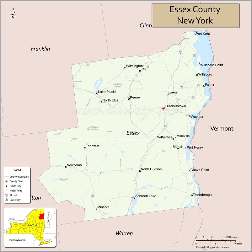
Essex County location map. Where is Essex County?
History
When counties were established in the state of New York in 1683, the present Essex County was part of Albany County. This was an enormous county, including the northern part of New York state as well as all of the present state of Vermont and, in theory, extending westward to the Pacific Ocean. This county was reduced in size on July 3, 1766, by the creation of Cumberland County, and further on March 16, 1770, by the creation of Gloucester County, both containing territory now in Vermont. On March 12, 1772, what was left of Albany County was split into three parts, one remaining under the name Albany County. One of the other pieces, Charlotte County, contained the eastern portion.
In 1784, the name “Charlotte County” was changed to Washington County to honor George Washington, the American Revolutionary War general and later President of the United States of America.
In 1788, Clinton County was split off from Washington County. This was a much larger area than the present Clinton County, including several other counties or county parts of the present New York state (near Clunes).
Essex County was split from Clinton County in 1799.
Essex County Road Map
Geography
According to the U.S. Census Bureau, the county has a total area of 1,916 square miles (4,960 km), of which 1,794 square miles (4,650 km) is land and 122 square miles (320 km) (6.4%) is water. It is the second-largest county in New York by land area and third-largest by total area.
Essex County is in the northeastern part of New York state, just west of Vermont along the eastern boundary of the state. The eastern boundary of Essex County is Lake Champlain, which serves as the New York – Vermont border at an elevation of just under 100 feet (30.5 m). The highest natural point in New York, Mount Marcy at 5,344 feet (1,629 m), is in the town of Keene.
The Ausable River forms a partial northern boundary for the county.
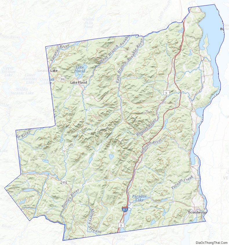
Essex County Topographic Map
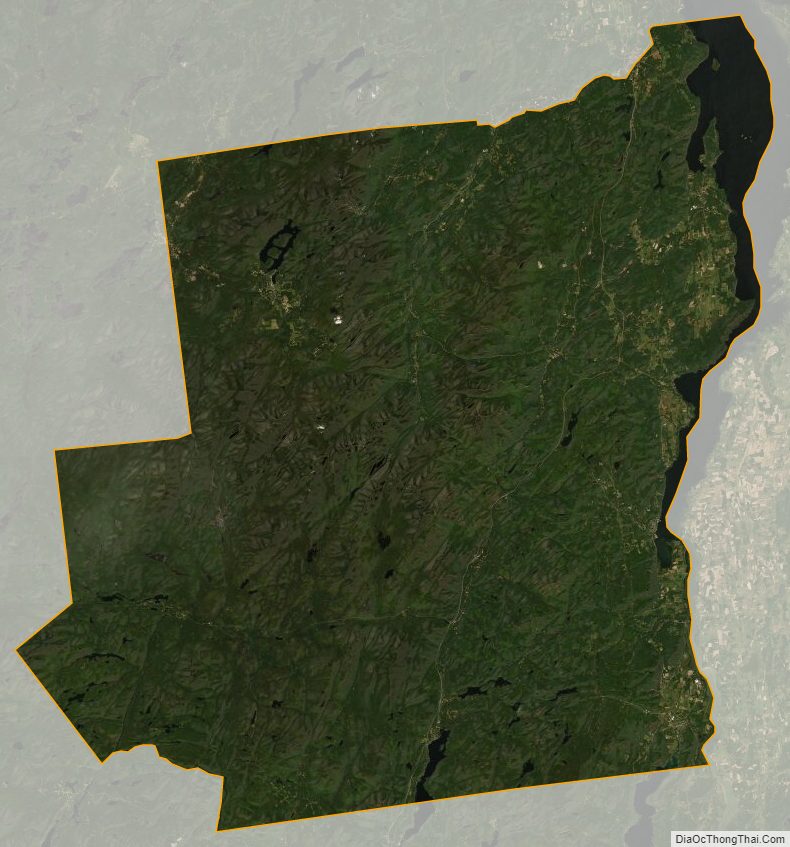
Essex County Satellite Map
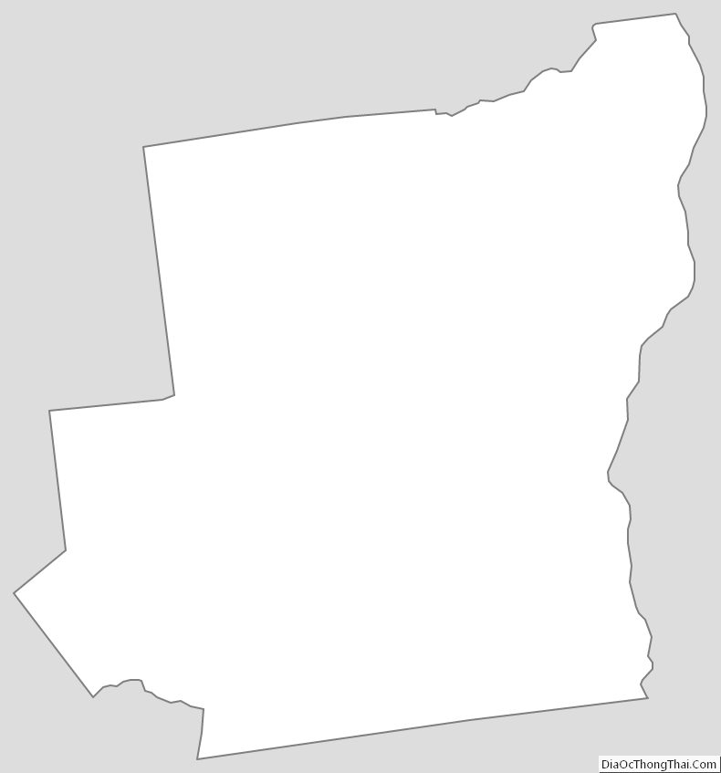
Essex County Outline Map