Fannin County is a county located in the north central portion of the U.S. state of Georgia. As of the 2020 census, the population was 25,319. It is one of the most rural counties in Georgia due its location in the Appalachian Mountain Range, with about 90% of the population of Fannin County living in unincorporated lands. The county seat is Blue Ridge. The county was created on January 21, 1854 and is named after James Fannin, a veteran who fought in the Texas Revolution.
| Name: | Fannin County |
|---|---|
| FIPS code: | 13-111 |
| State: | Georgia |
| Founded: | 1854 |
| Named for: | James Fannin |
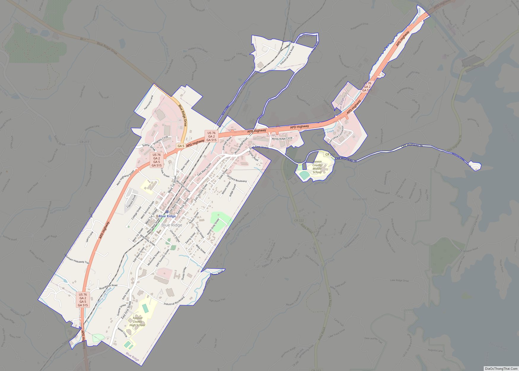
| Seat: | Blue Ridge |
| Largest city: | Blue Ridge |
| Total Area: | 392 sq mi (1,020 km²) |
| Land Area: | 387 sq mi (1,000 km²) |
| Total Population: | 25,319 |
| Population Density: | 65/sq mi (25/km²) |
| Time zone: | UTC−5 (Eastern) |
| Summer Time Zone (DST): | UTC−4 (EDT) |
| Website: | fannincountyga.org |
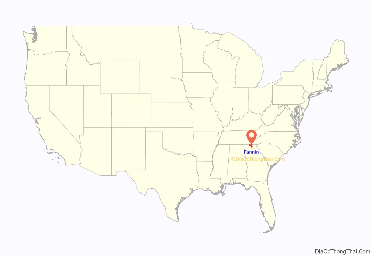
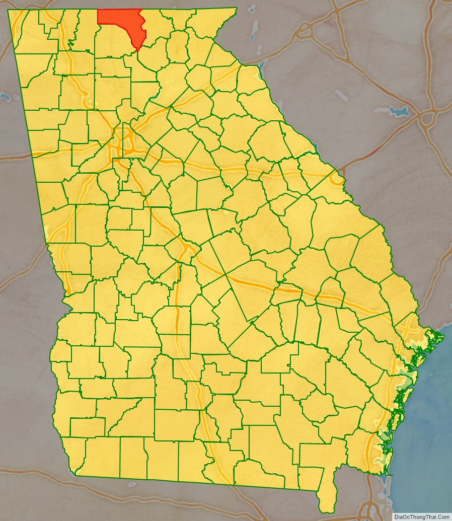
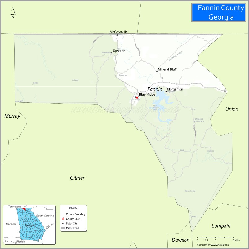
Fannin County location map. Where is Fannin County?
History
Prior to European colonization, the area that is now Fannin County was inhabited by the Cherokee people and other Indigenous peoples for thousands of years.
Fannin County was founded on January 12, 1854, taken from 396 square miles that were previously part of Gilmer and Union counties. The county is named for Georgia native James W. Fannin, who fought and died during the Texas Revolution.
Although the county was majority pro-secession at the beginning of the Civil War, wartime conditions inspired a notable number of anti-Confederate “Tories” as early as 1862, many of whom re-located to pro-Union areas of Tennessee for the duration. This contributed to the postwar establishment of a countywide Republican Party earlier and more sustained than almost any other county in Georgia.
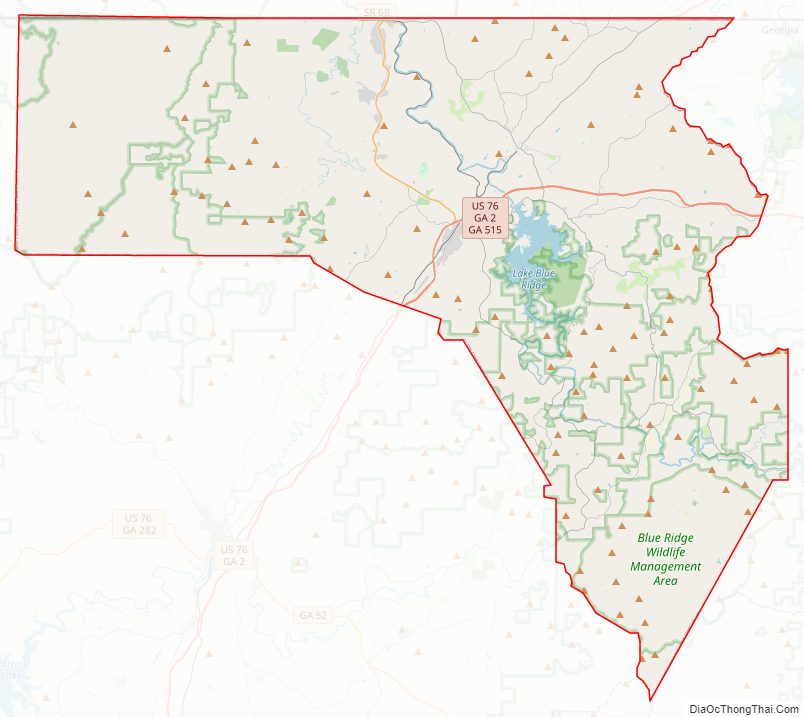
Fannin County Road Map
Geography
According to the U.S. Census Bureau, the county has a total area of 392 square miles (1,020 km), of which 387 square miles (1,000 km) is land and 5.2 square miles (13 km) (1.3%) is water. The county is located in the Blue Ridge Mountains.
The Toccoa River, which rises in adjacent Union County, flows northward across Fannin County into Tennessee, where it becomes the Ocoee River. Blue Ridge Lake, created in the 1930s by the completion of Blue Ridge Dam (now operated by the Tennessee Valley Authority), spans a substantial stretch of the river in the northern part of the county.
The vast majority of Fannin County is located in the Ocoee River sub-basin of the Middle Tennessee-Hiwassee basin. A very small northeastern portion of Fannin County is located in the Hiwassee River sub-basin of the same Middle Tennessee-Hiwassee basin. Illustrating that watershed boundaries and county boundaries have little in common, Fannin County’s southernmost corner is located in the Etowah River sub-basin in the ACT River Basin (Coosa-Tallapoosa River Basin), while two slivers of the county’s southwestern area are located in the Coosawattee River sub-basin of the same larger ACT River Basin. Finally, a western portion of the county is located in the Conasauga River sub-basin of the ACT River Basin.
Adjacent counties
- Cherokee County, North Carolina – northeast
- Union County – east
- Dawson County – southeast
- Lumpkin County – southeast
- Gilmer County – southwest
- Murray County – west
- Polk County, Tennessee – north
National protected area
- Chattahoochee National Forest (part)
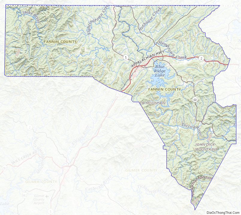
Fannin County Topographic Map
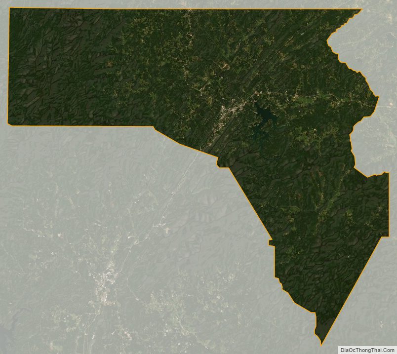
Fannin County Satellite Map
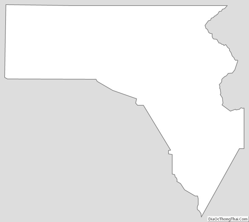
Fannin County Outline Map