McCaysville is a city in Fannin County, Georgia, United States. The population was 1,149 at the 2020 census.
| Name: | McCaysville city |
|---|---|
| LSAD Code: | 25 |
| LSAD Description: | city (suffix) |
| State: | Georgia |
| County: | Fannin County |
| Elevation: | 1,460 ft (450 m) |
| Total Area: | 1.54 sq mi (4.00 km²) |
| Land Area: | 1.50 sq mi (3.90 km²) |
| Water Area: | 0.04 sq mi (0.10 km²) |
| Total Population: | 1,149 |
| Population Density: | 763.46/sq mi (294.80/km²) |
| ZIP code: | 30555 |
| Area code: | Area codes 706 |
| FIPS code: | 1348428 |
| GNISfeature ID: | 0328732 |
| Website: | http://cityofmccaysvillega.gov |
Online Interactive Map
Click on ![]() to view map in "full screen" mode.
to view map in "full screen" mode.
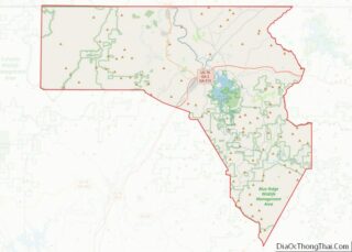
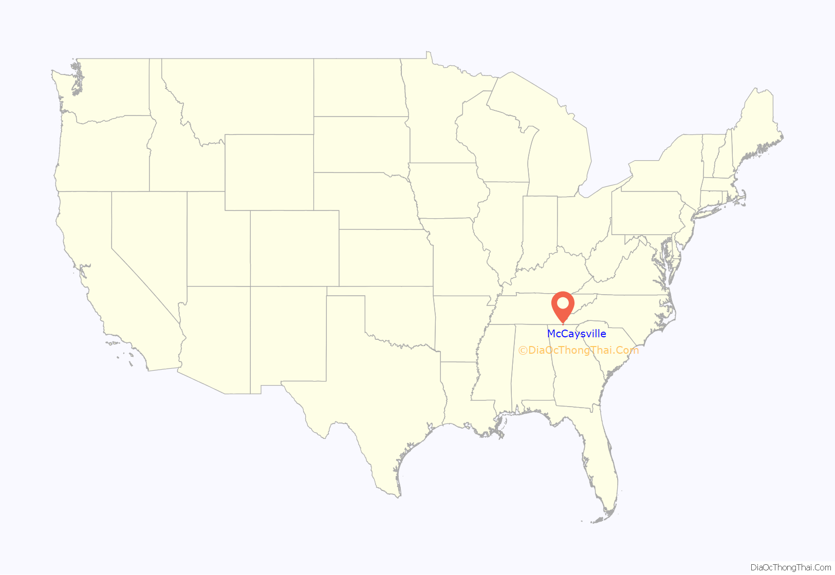
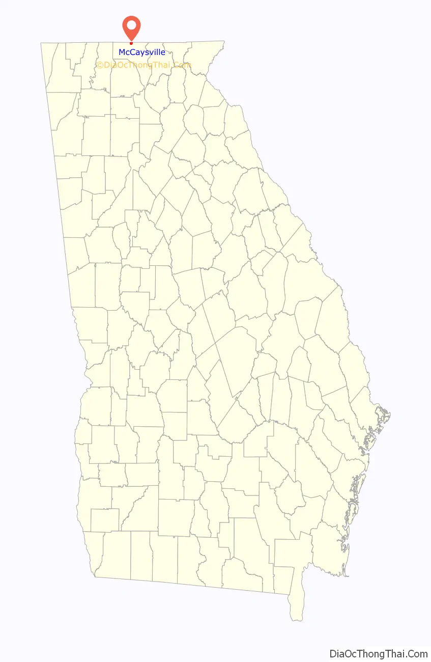
McCaysville location map. Where is McCaysville city?
History
Prior to European colonization, the area that is now McCaysville was inhabited by the Cherokee people and other Indigenous peoples for thousands of years.
The town is also the center of an adoption scandal.
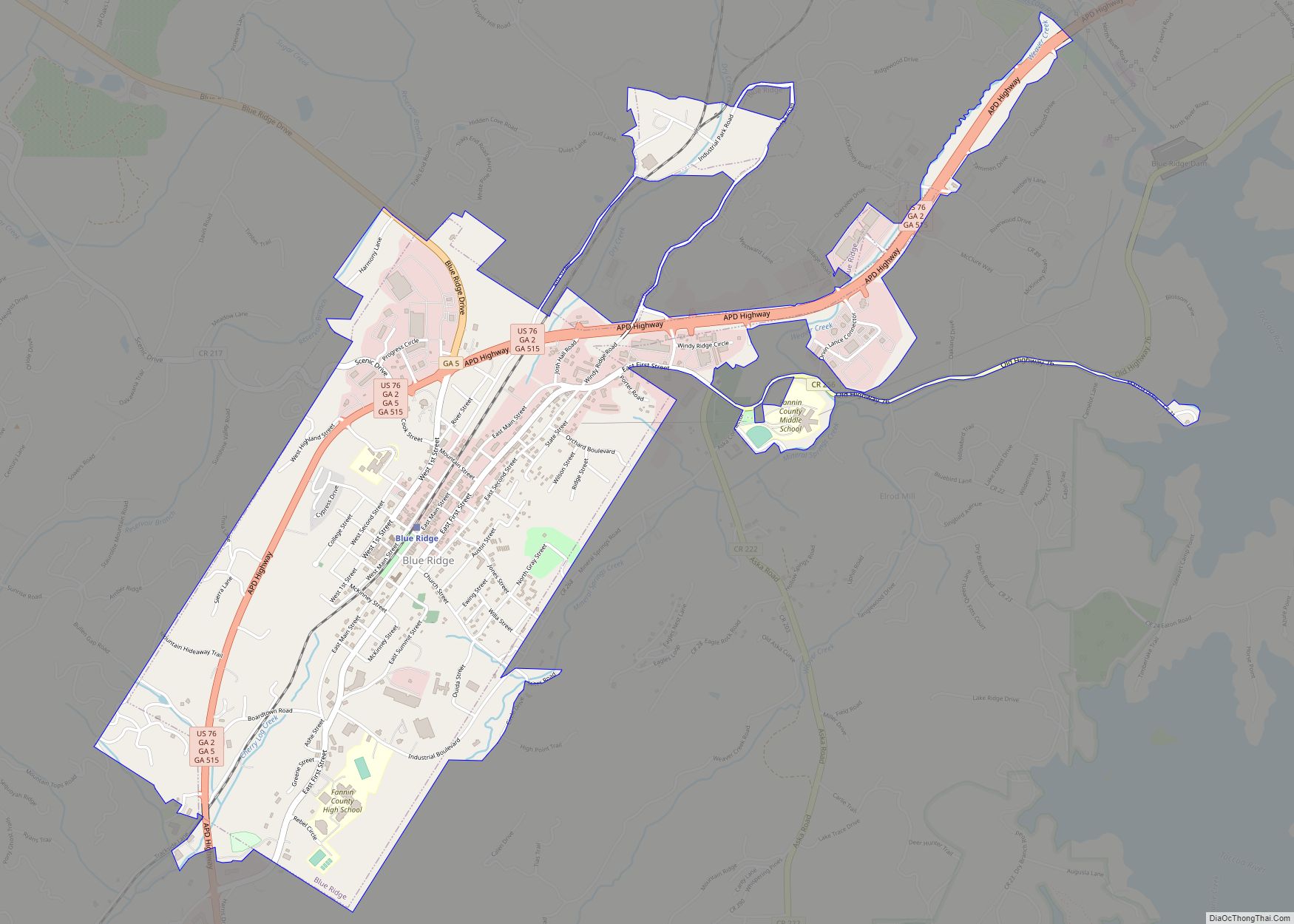
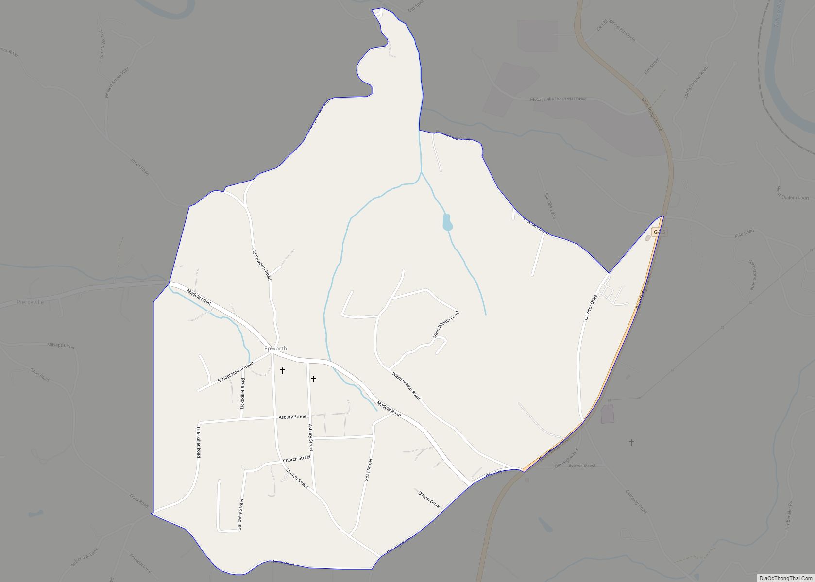
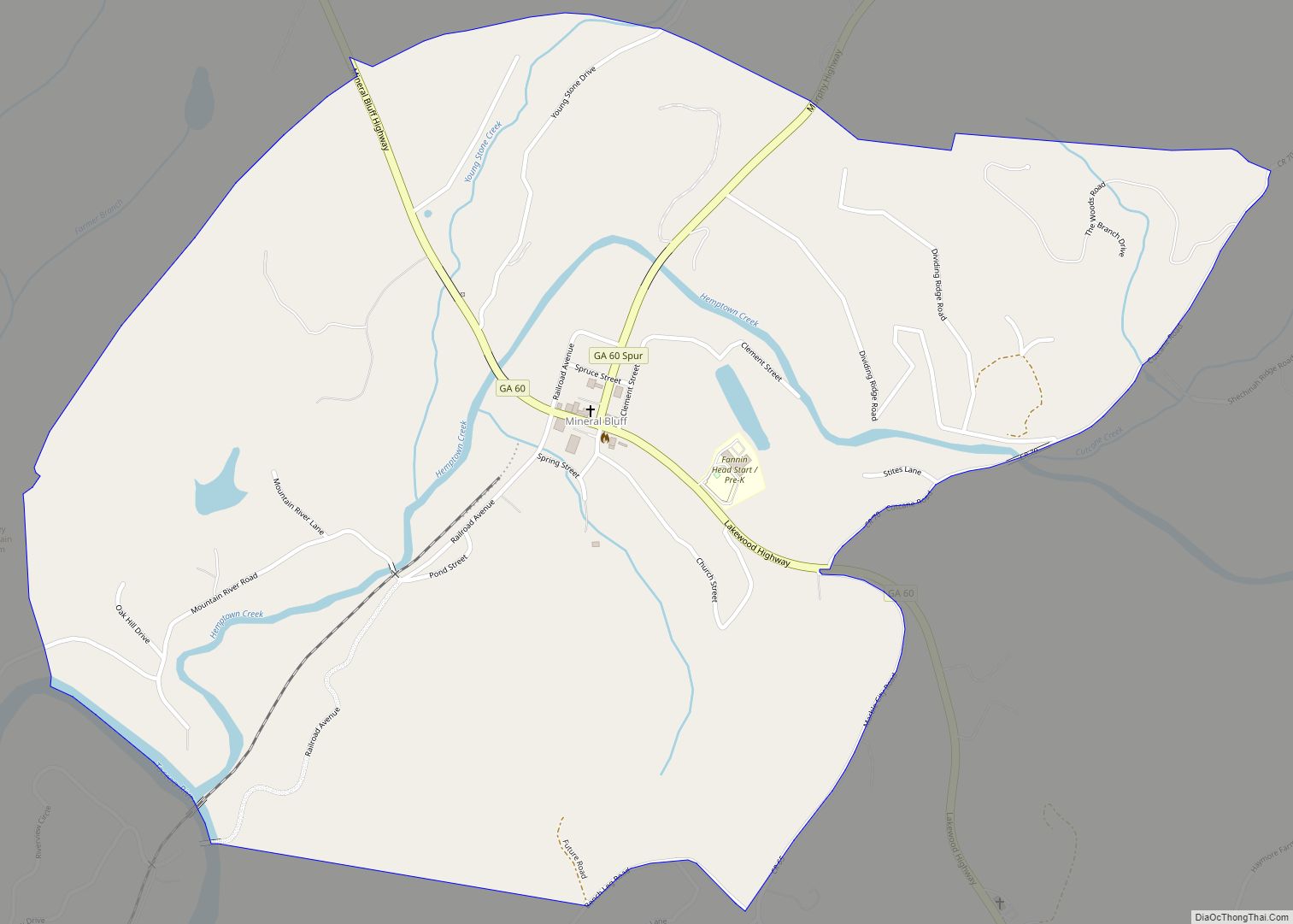
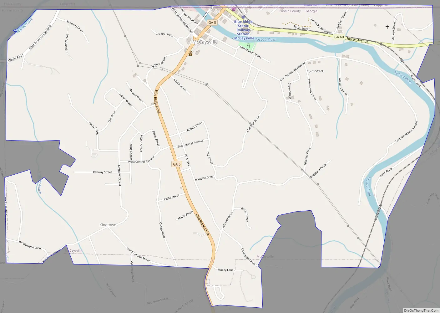
McCaysville Road Map
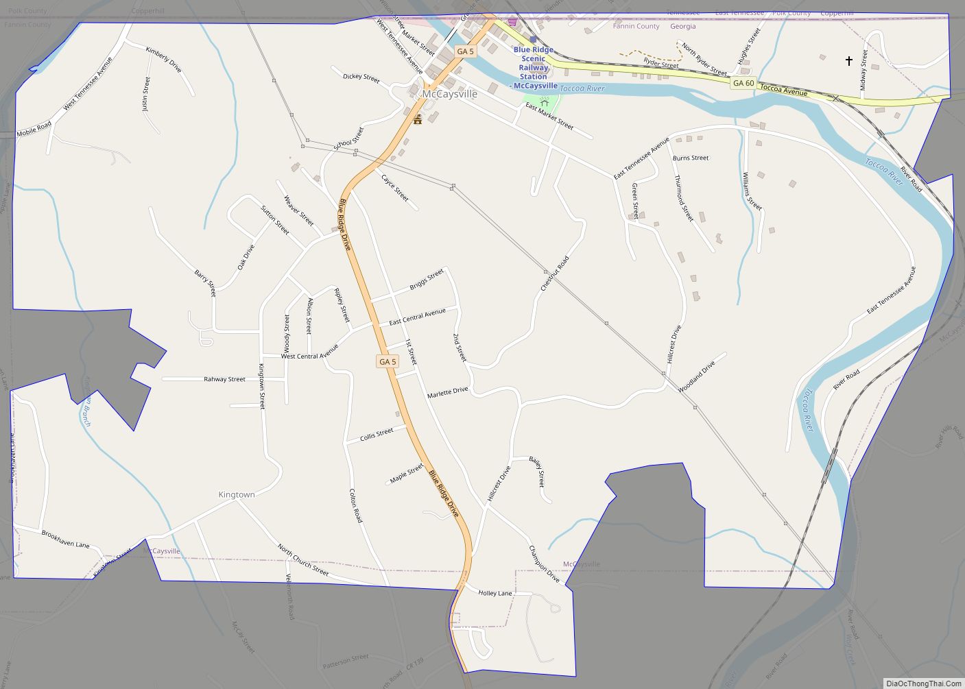
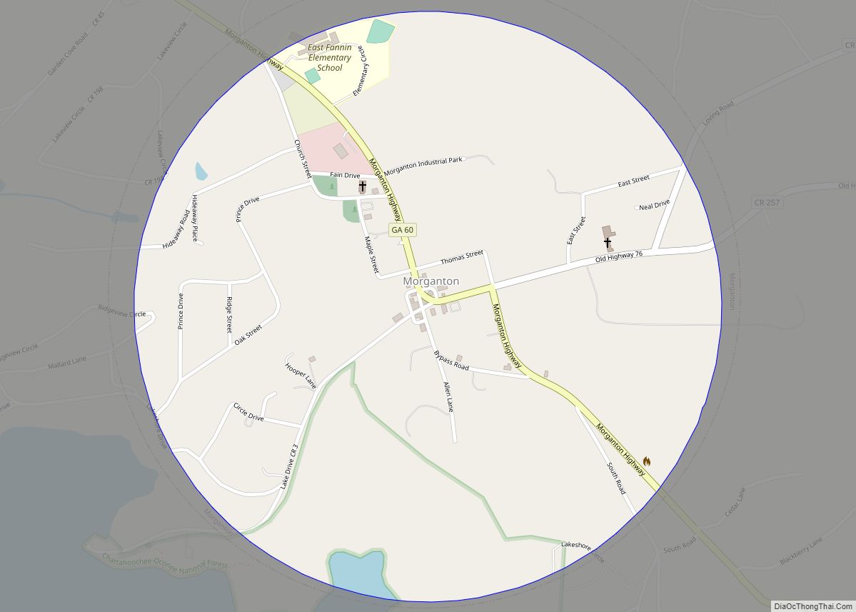
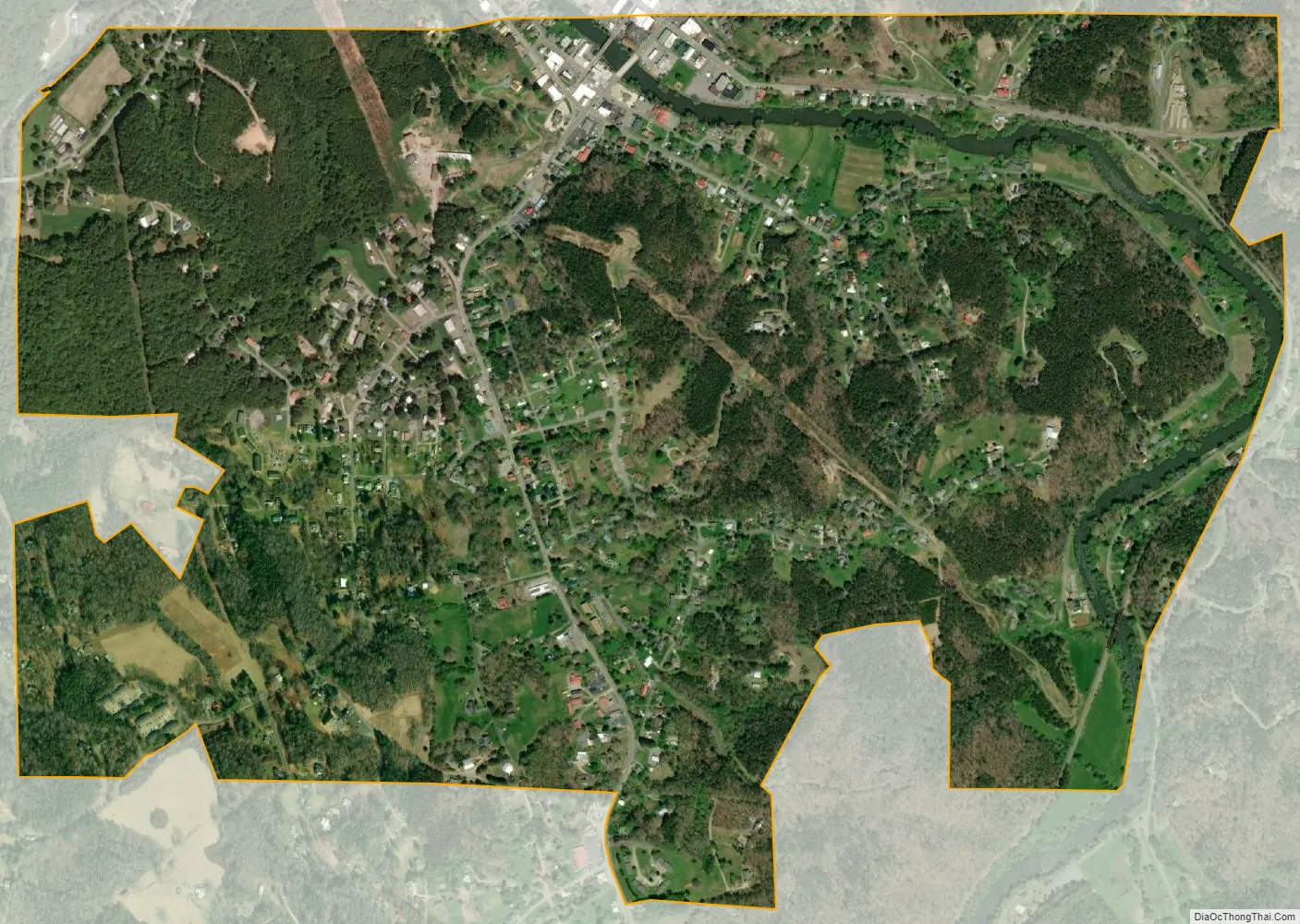
McCaysville city Satellite Map
Geography
McCaysville is located along the northern border of Fannin County and the state of Georgia at 34°58′54″N 84°22′13″W / 34.98167°N 84.37028°W / 34.98167; -84.37028 (34.981534, -84.370293). It is bordered to the north by its twin city of Copperhill, Tennessee. The two are situated as a single town along a river, known as the Toccoa River in Georgia and the Ocoee River in Tennessee. The change takes place in the middle of town at the state line, which runs diagonally relative to the street grid, which is aligned with the river rather than the border. The boundary also means that the McCaysville side is in area code 706, while the Copperhill side is in area code 423.
The main street through town is Georgia 60 (Toccoa Avenue) and Tennessee 68 (Ocoee Street). SR 60 leads southeast 8 miles (13 km) to Mineral Bluff, Georgia, while SR 68 leads north 4 miles (6 km) to Ducktown, Tennessee. Georgia State Route 5 crosses the Toccoa River and leads south 11 miles (18 km) to Blue Ridge, the Fannin County seat.
According to the United States Census Bureau, McCaysville has a total area of 1.60 square miles (4.15 km), of which 1.55 square miles (4.02 km) is land and 0.05 square miles (0.13 km), or 3.17%, is water.
In the early morning hours of February 16, 1990, a massive flood struck the towns.
See also
Map of Georgia State and its subdivision:- Appling
- Atkinson
- Bacon
- Baker
- Baldwin
- Banks
- Barrow
- Bartow
- Ben Hill
- Berrien
- Bibb
- Bleckley
- Brantley
- Brooks
- Bryan
- Bulloch
- Burke
- Butts
- Calhoun
- Camden
- Candler
- Carroll
- Catoosa
- Charlton
- Chatham
- Chattahoochee
- Chattooga
- Cherokee
- Clarke
- Clay
- Clayton
- Clinch
- Cobb
- Coffee
- Colquitt
- Columbia
- Cook
- Coweta
- Crawford
- Crisp
- Dade
- Dawson
- Decatur
- DeKalb
- Dodge
- Dooly
- Dougherty
- Douglas
- Early
- Echols
- Effingham
- Elbert
- Emanuel
- Evans
- Fannin
- Fayette
- Floyd
- Forsyth
- Franklin
- Fulton
- Gilmer
- Glascock
- Glynn
- Gordon
- Grady
- Greene
- Gwinnett
- Habersham
- Hall
- Hancock
- Haralson
- Harris
- Hart
- Heard
- Henry
- Houston
- Irwin
- Jackson
- Jasper
- Jeff Davis
- Jefferson
- Jenkins
- Johnson
- Jones
- Lamar
- Lanier
- Laurens
- Lee
- Liberty
- Lincoln
- Long
- Lowndes
- Lumpkin
- Macon
- Madison
- Marion
- McDuffie
- McIntosh
- Meriwether
- Miller
- Mitchell
- Monroe
- Montgomery
- Morgan
- Murray
- Muscogee
- Newton
- Oconee
- Oglethorpe
- Paulding
- Peach
- Pickens
- Pierce
- Pike
- Polk
- Pulaski
- Putnam
- Quitman
- Rabun
- Randolph
- Richmond
- Rockdale
- Schley
- Screven
- Seminole
- Spalding
- Stephens
- Stewart
- Sumter
- Talbot
- Taliaferro
- Tattnall
- Taylor
- Telfair
- Terrell
- Thomas
- Tift
- Toombs
- Towns
- Treutlen
- Troup
- Turner
- Twiggs
- Union
- Upson
- Walker
- Walton
- Ware
- Warren
- Washington
- Wayne
- Webster
- Wheeler
- White
- Whitfield
- Wilcox
- Wilkes
- Wilkinson
- Worth
- Alabama
- Alaska
- Arizona
- Arkansas
- California
- Colorado
- Connecticut
- Delaware
- District of Columbia
- Florida
- Georgia
- Hawaii
- Idaho
- Illinois
- Indiana
- Iowa
- Kansas
- Kentucky
- Louisiana
- Maine
- Maryland
- Massachusetts
- Michigan
- Minnesota
- Mississippi
- Missouri
- Montana
- Nebraska
- Nevada
- New Hampshire
- New Jersey
- New Mexico
- New York
- North Carolina
- North Dakota
- Ohio
- Oklahoma
- Oregon
- Pennsylvania
- Rhode Island
- South Carolina
- South Dakota
- Tennessee
- Texas
- Utah
- Vermont
- Virginia
- Washington
- West Virginia
- Wisconsin
- Wyoming