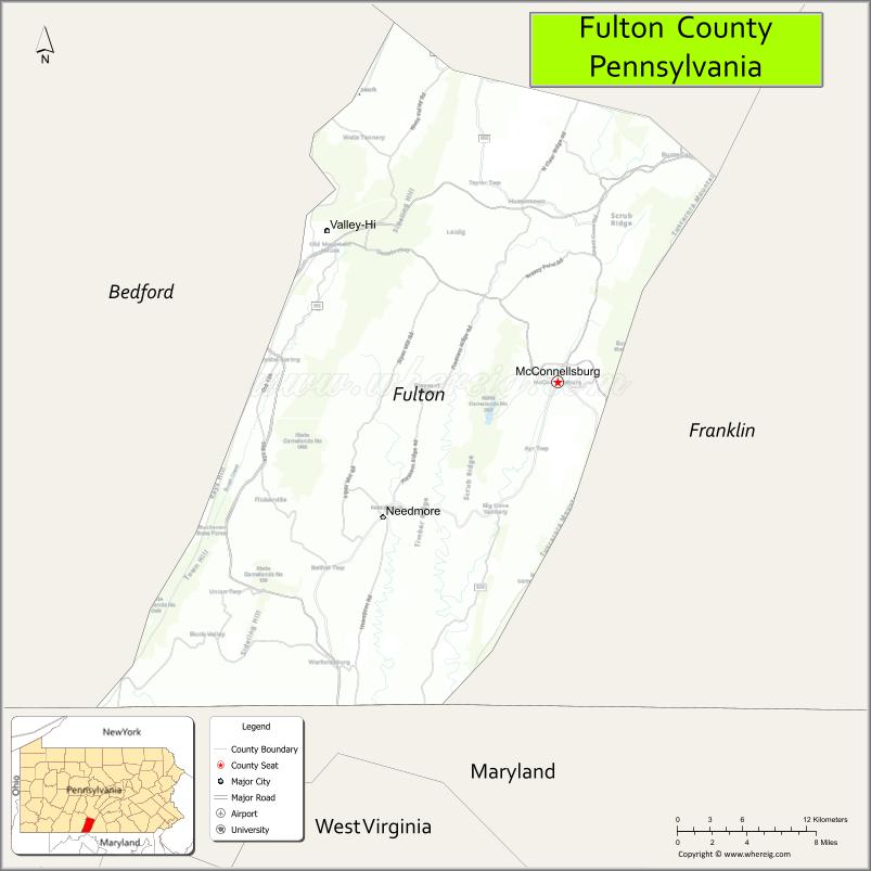
Fulton County is a county in the Commonwealth of Pennsylvania. As of the 2020 census, the population was 14,556, making it the fourth-least populous county in Pennsylvania. Its county seat is McConnellsburg. The county was created on April 19, 1850, from part of Bedford County and named for inventor Robert Fulton.
| Name: | Fulton County |
|---|---|
| FIPS code: | 42-057 |
| State: | Pennsylvania |
| Founded: | April 19, 1850 |
| Named for: | Robert Fulton |
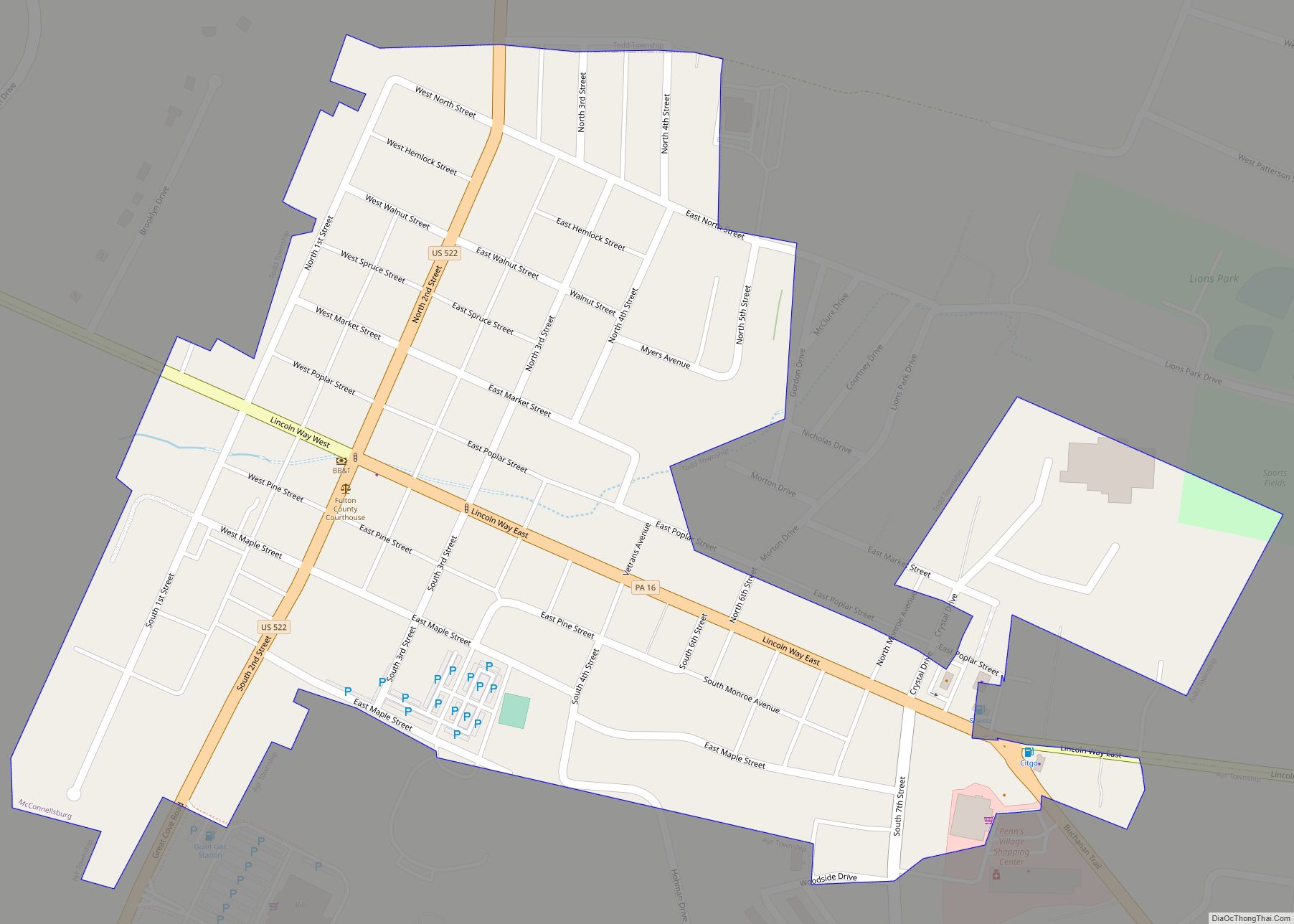
| Seat: | McConnellsburg |
| Total Area: | 438 sq mi (1,130 km²) |
| Land Area: | 438 sq mi (1,130 km²) |
| Total Population: | 14,556 |
| Population Density: | 33/sq mi (13/km²) |
| Time zone: | UTC−5 (Eastern) |
| Summer Time Zone (DST): | UTC−4 (EDT) |
| Website: | www.co.fulton.pa.us |
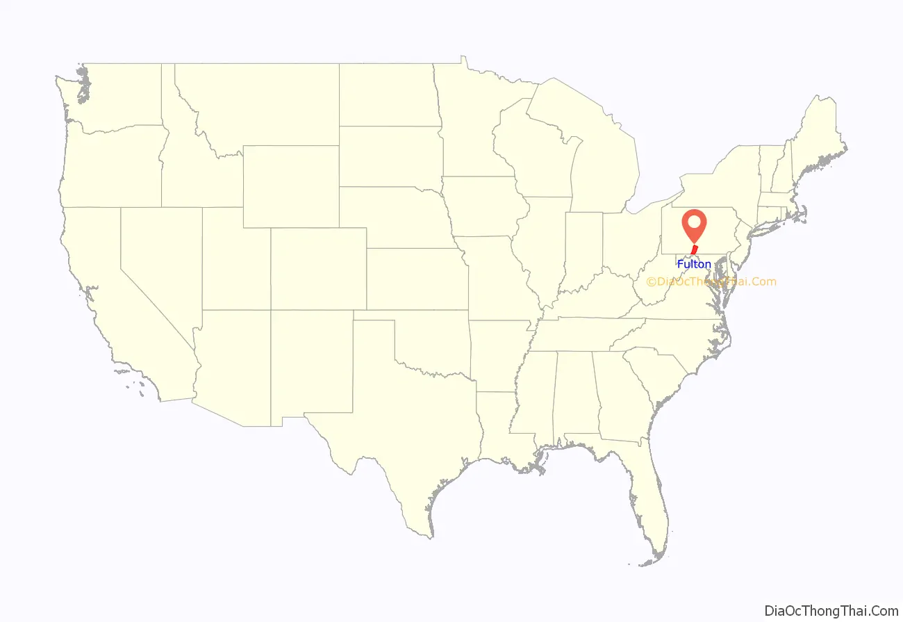
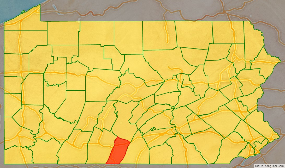
Fulton County location map. Where is Fulton County?
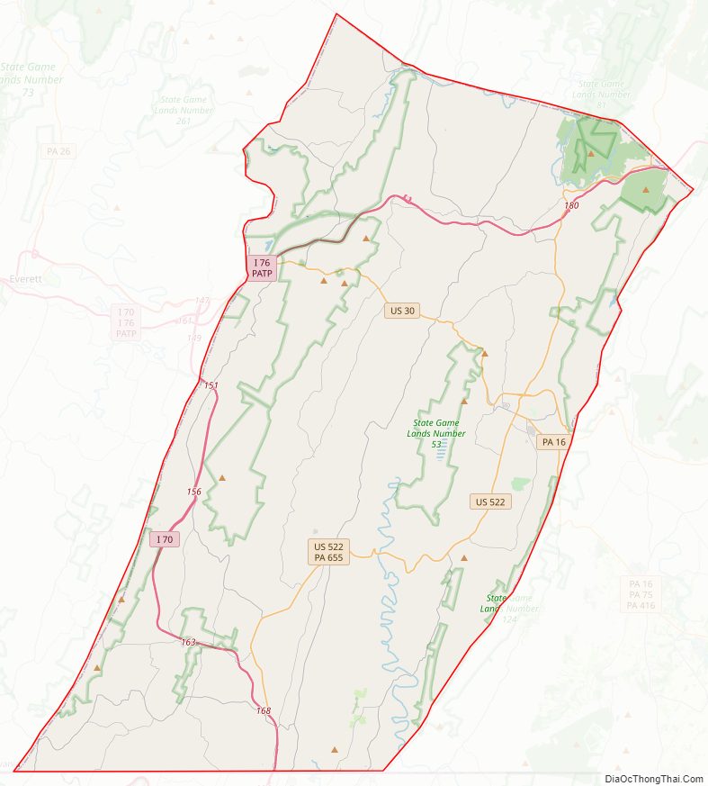
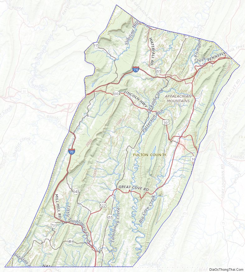
Fulton County Road Map
Geography
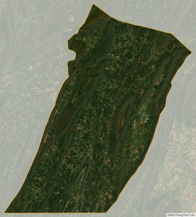
According to the U.S. Census Bureau, the county has a total area of 438 square miles (1,130 km), of which 438 square miles (1,130 km) is land and 0.5 square miles (1.3 km) (0.1%) is water. It is in the watershed of the Chesapeake Bay and, although most of the county is drained by the Potomac River, some northern and northeastern areas are drained by the Juniata River into the Susquehanna River. It has a humid continental climate (Dfa/Dfb) and average monthly temperatures in McConnellsburg range from 29.2 °F in January to 73.0 °F in July. [1]
Adjacent counties
- Huntingdon County (north)
- Franklin County (east)
- Washington County, Maryland (south)
- Allegany County, Maryland (southwest)
- Bedford County (west)
Fulton County Topographic Map
Fulton County Satellite Map
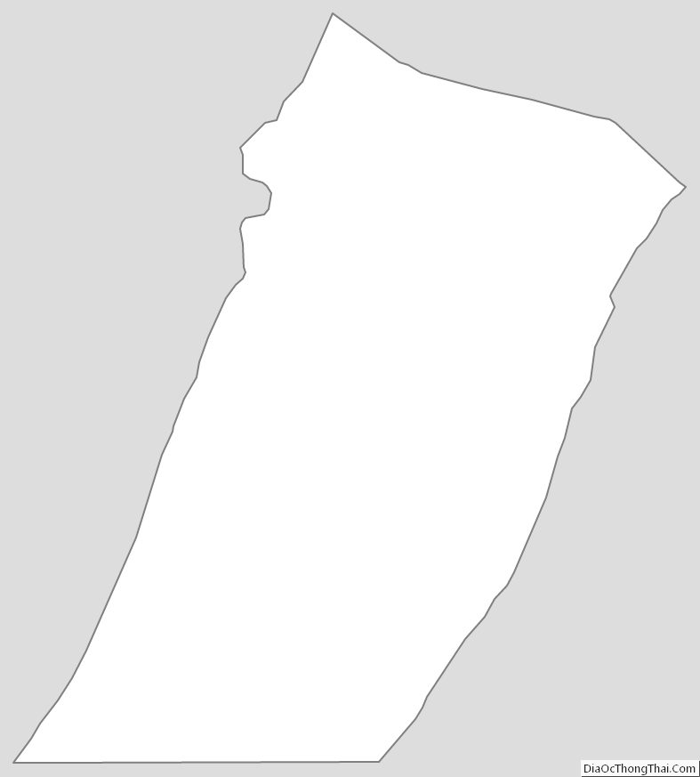
Fulton County Outline Map