Huntingdon County is a county in the Commonwealth of Pennsylvania. As of the 2020 census, the population was 44,092. Its county seat is Huntingdon. The county was created on September 20, 1787, mainly from the northern part of Bedford County, plus an addition of territory on the east (Big Valley, Tuscarora Valley) from Cumberland County.
Huntingdon County comprises the Huntingdon, PA Micropolitan Statistical Area.
| Name: | Huntingdon County |
|---|---|
| FIPS code: | 42-061 |
| State: | Pennsylvania |
| Founded: | September 20, 1787 |
| Named for: | Selina Hastings, Countess of Huntingdon |
| Seat: | Huntingdon |
| Total Area: | 889 sq mi (2,300 km²) |
| Land Area: | 875 sq mi (2,270 km²) |
| Total Population: | 44,092 |
| Population Density: | 50/sq mi (20/km²) |
| Time zone: | UTC−5 (Eastern) |
| Summer Time Zone (DST): | UTC−4 (EDT) |
| Website: | www.huntingdoncounty.net/Pages/default.aspx |
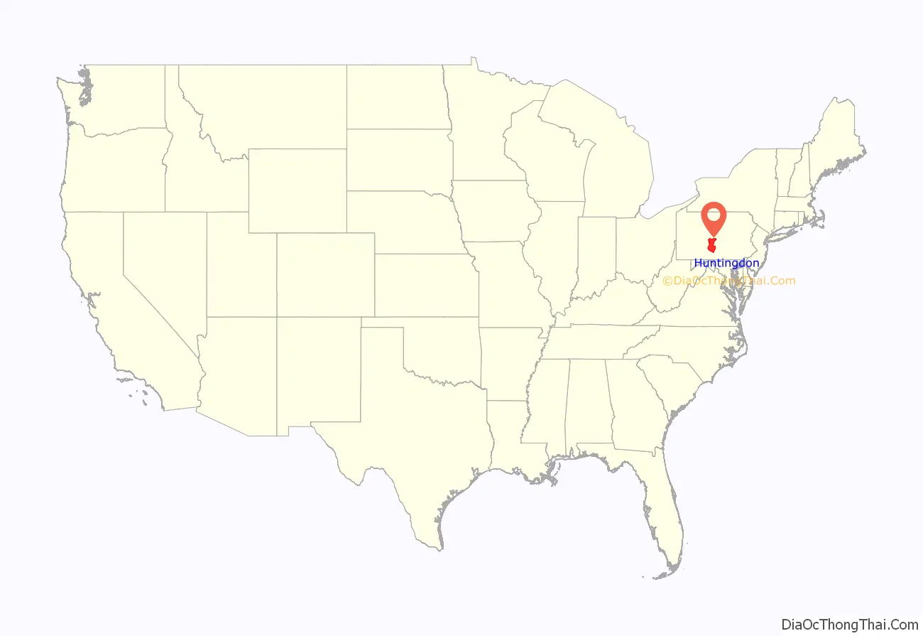
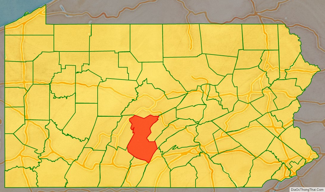
Huntingdon County location map. Where is Huntingdon County?
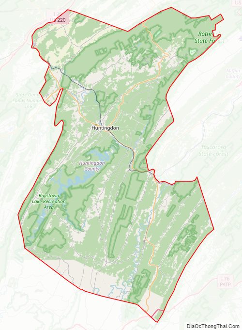
Huntingdon County Road Map
Geography
According to the U.S. Census Bureau, the county has a total area of 889 square miles (2,300 km), of which 875 square miles (2,270 km) is land and 15 square miles (39 km) (1.6%) is water. It has a humid continental climate (Dfa/Dfb) and average monthly temperatures in Huntingdon borough range from 27.8 °F in January to 72.3 °F in July. [1]
Features
- Raystown Lake
- Tussey Mountain
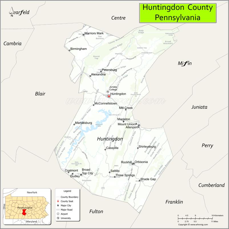
Adjacent counties
- Centre County (north)
- Mifflin County (east)
- Juniata County (east)
- Franklin County (southeast)
- Fulton County (south)
- Bedford County (southwest)
- Blair County (west)
Huntingdon County Topographic Map
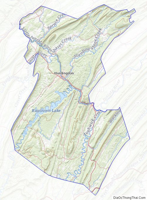
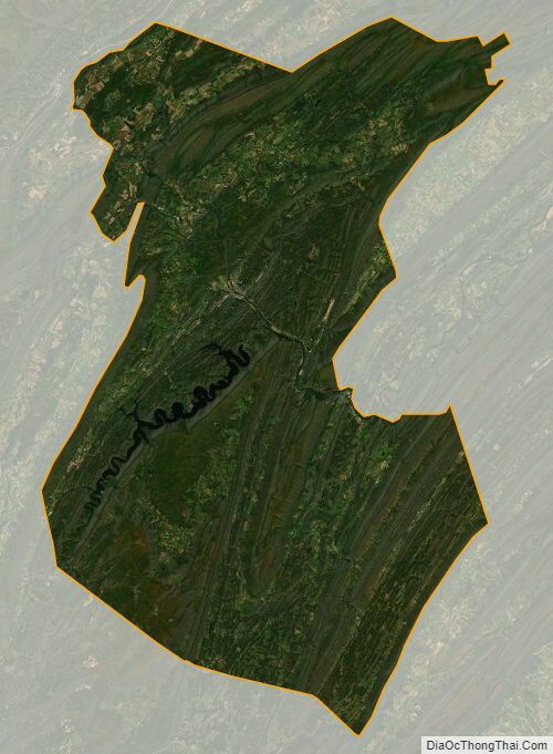
Huntingdon County Satellite Map
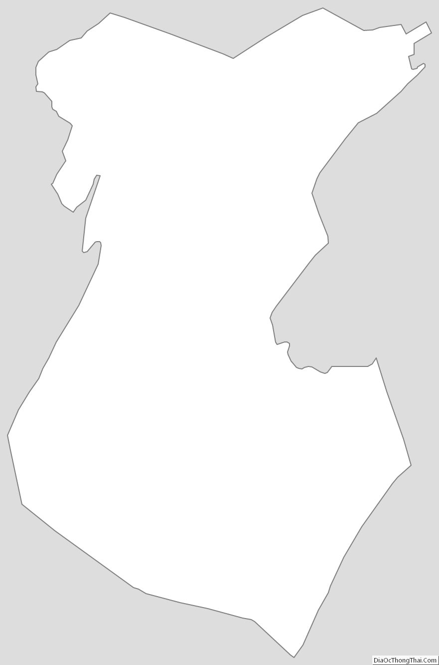
Huntingdon County Outline Map