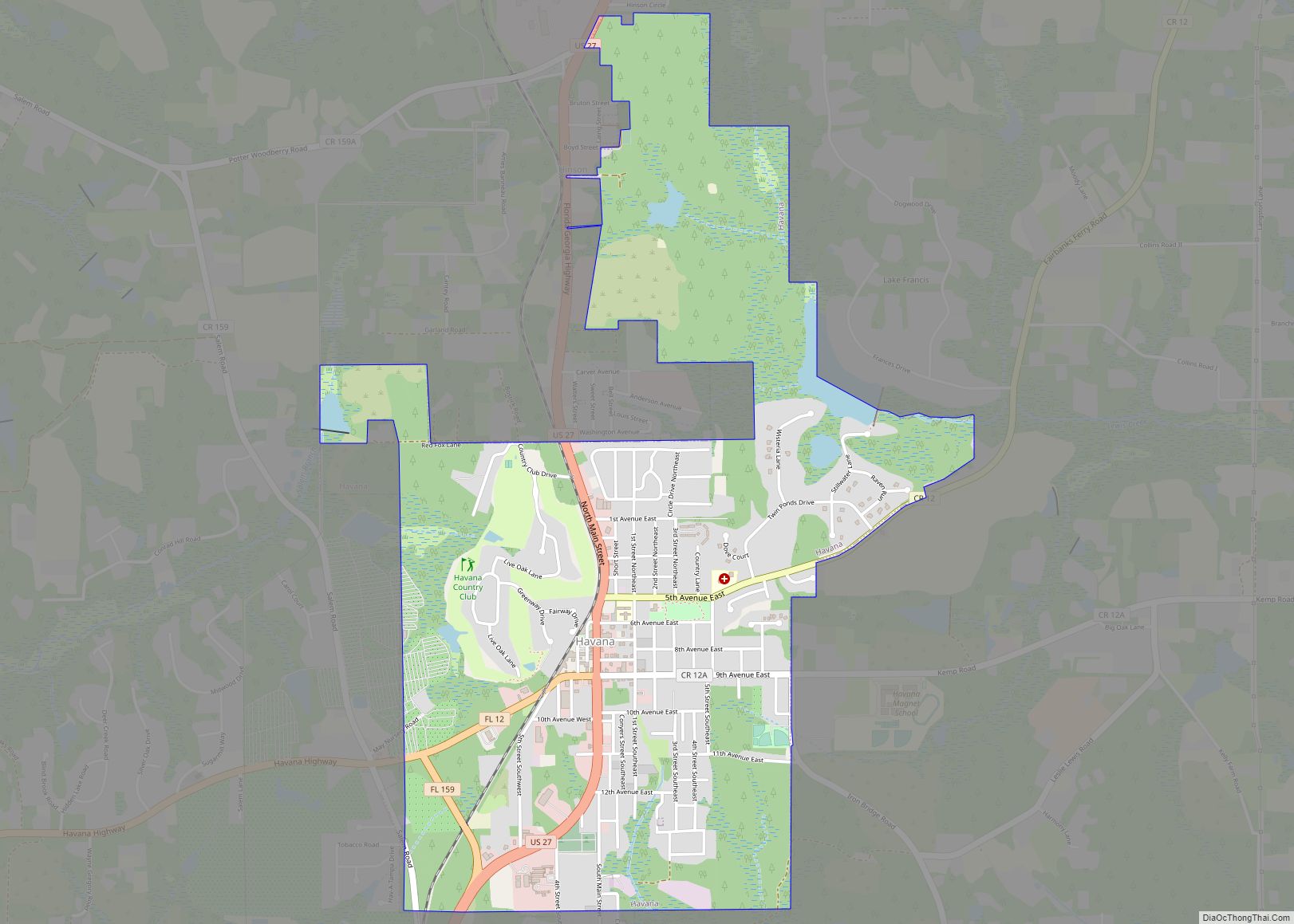
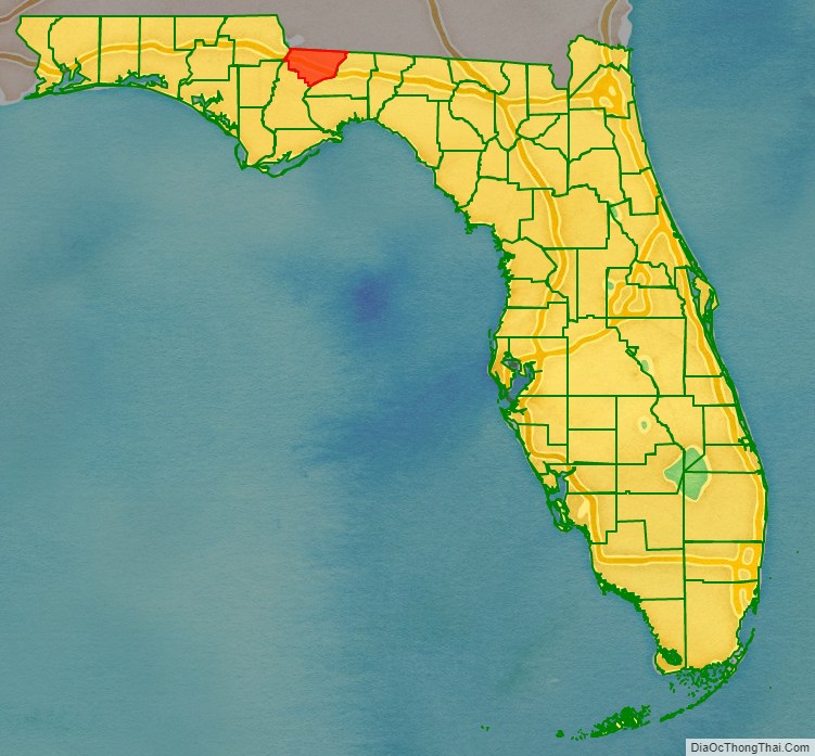
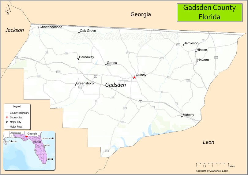
Gadsden County is a county located in the panhandle of the U.S. state of Florida. As of the 2020 census, the population was 43,826. Its county seat is Quincy. Gadsden County is included in the Tallahassee, FL Metropolitan Statistical Area. Gadsden County is the only majority (over 50%) African-American county in Florida.
| Name: | Gadsden County |
|---|---|
| FIPS code: | 12-039 |
| State: | Florida |
| Founded: | June 24, 1823 |
| Named for: | James Gadsden |
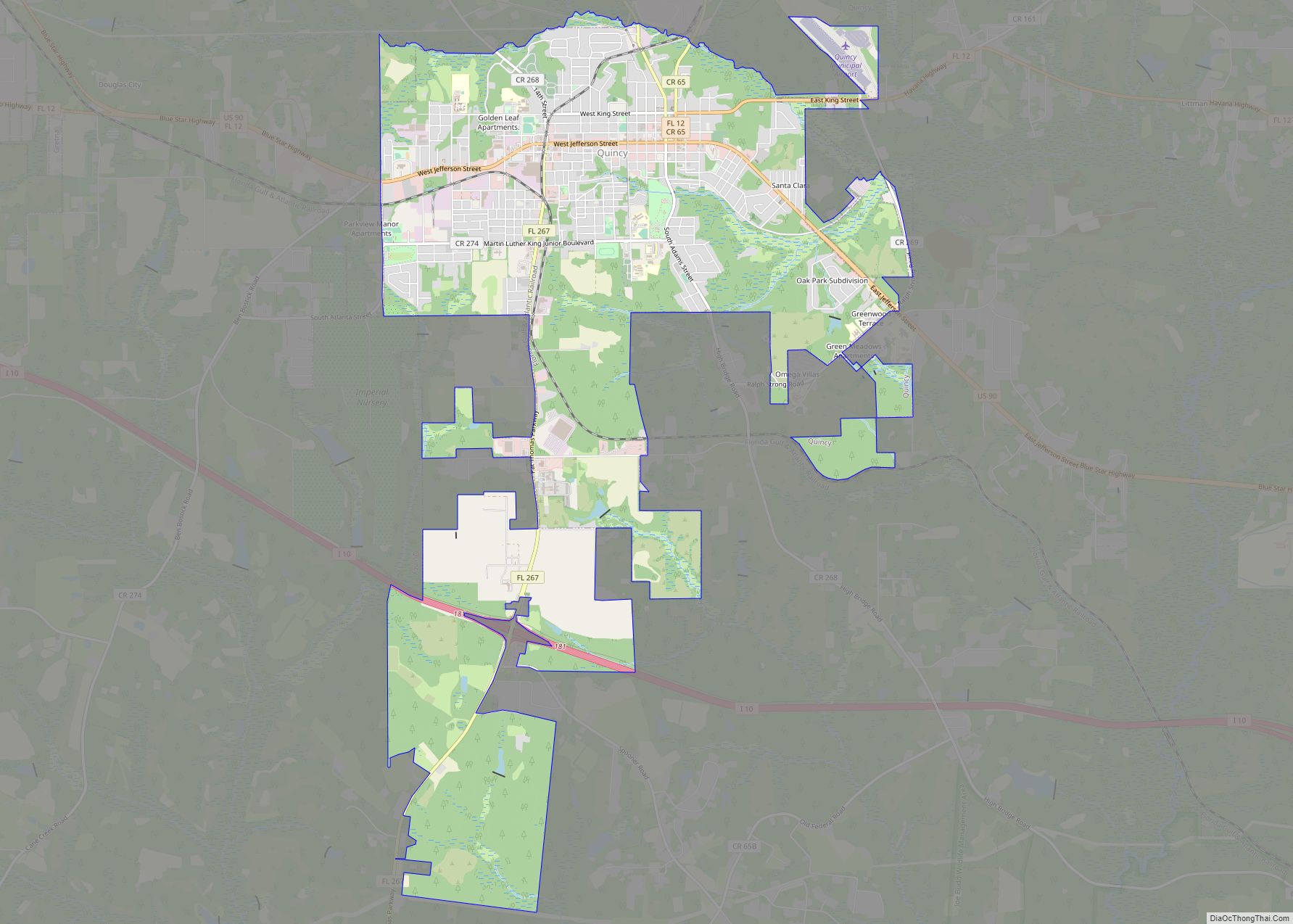
| Seat: | Quincy |
| Largest city: | Quincy |
| Total Area: | 529 sq mi (1,370 km²) |
| Land Area: | 516 sq mi (1,340 km²) |
| Total Population: | 43,826 |
| Population Density: | 83/sq mi (32/km²) |
| Time zone: | UTC−5 (Eastern) |
| Summer Time Zone (DST): | UTC−4 (EDT) |
| Website: | www.gadsdengov.net |
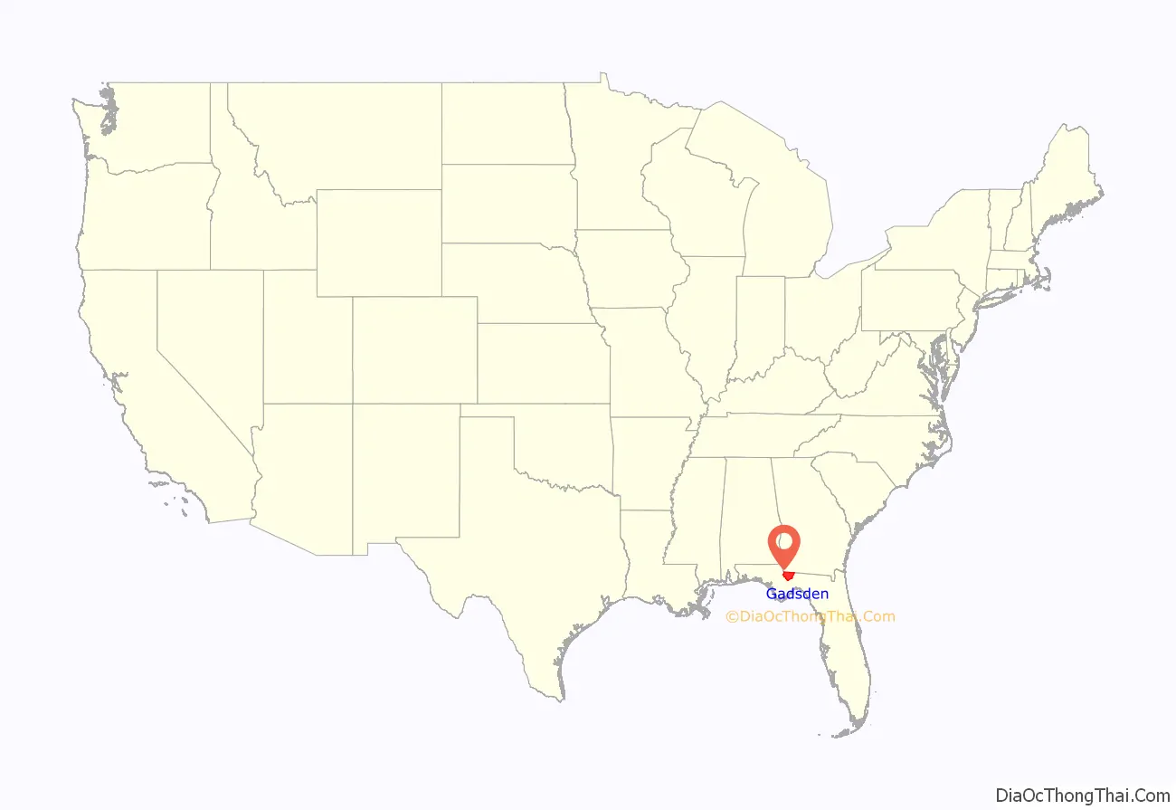
Gadsden County location map. Where is Gadsden County?
History
Gadsden County was created in 1823. It was named for James Gadsden of South Carolina, who served as Andrew Jackson’s aide-de-camp in Florida in 1818. Gadsden County is historically known for its tobacco crop which is obsolete today.
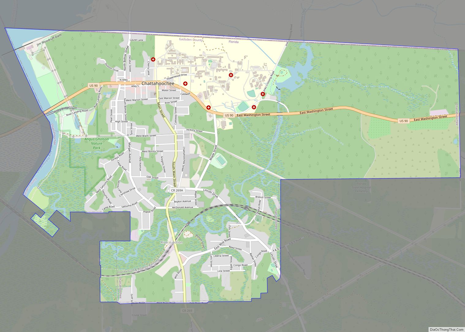
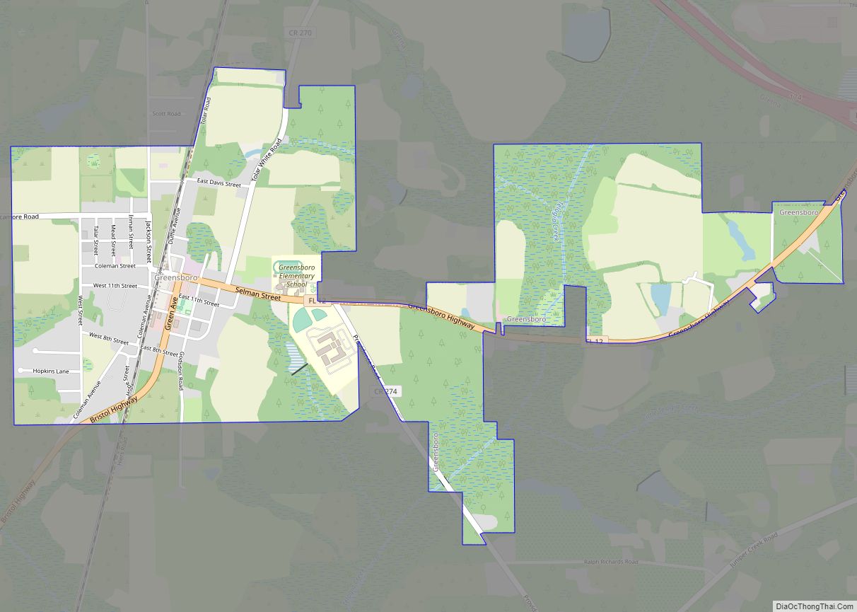
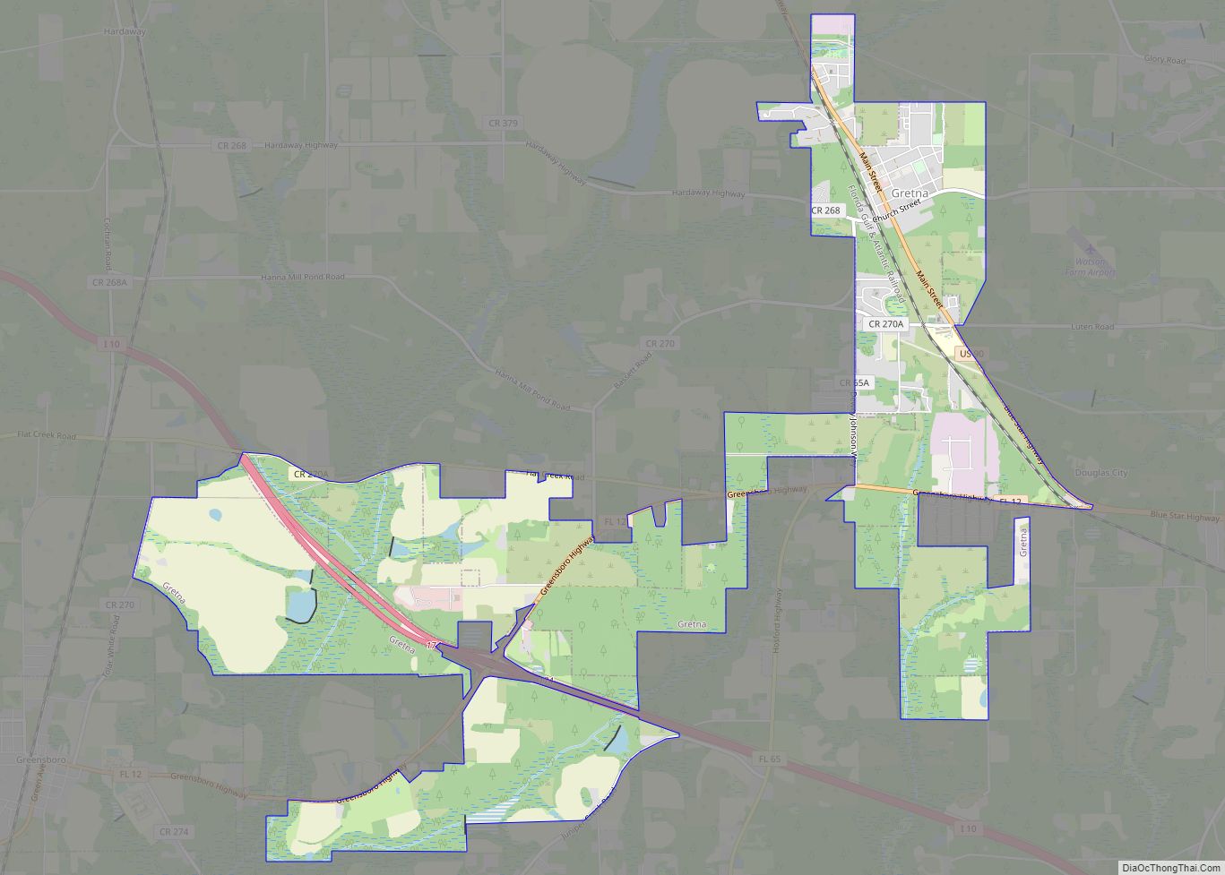
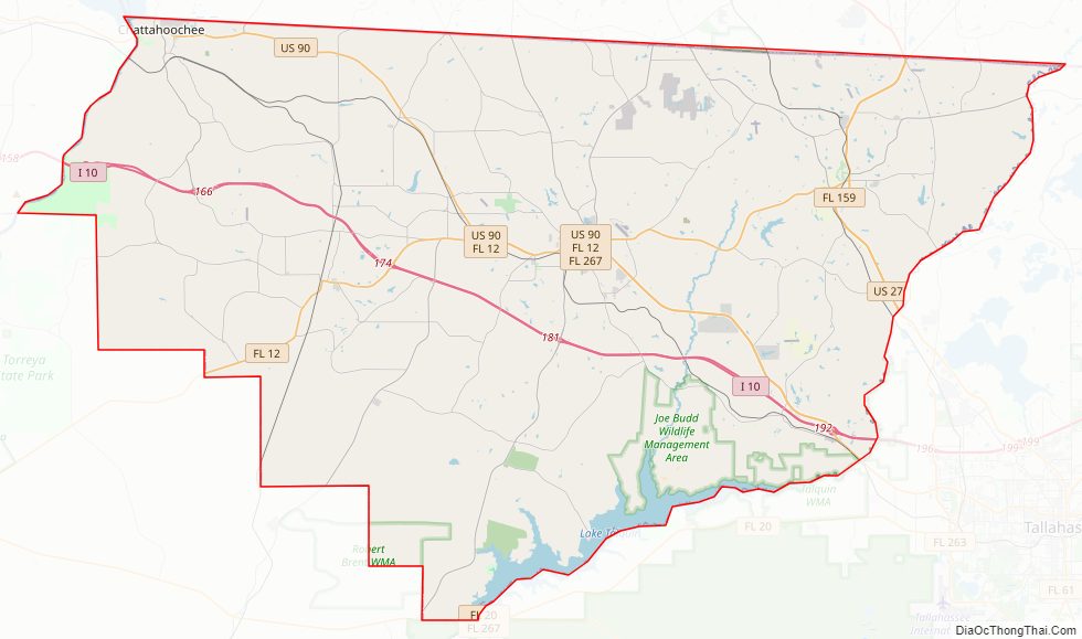
Gadsden County Road Map
Geography
According to the U.S. Census Bureau, the county has a total area of 529 square miles (1,370 km), of which 516 square miles (1,340 km) is land and 12 square miles (31 km) (2.3%) is water.
Gadsden County is part of the Tallahassee Metropolitan Statistical Area. Gadsden County is in the Eastern Time Zone. Its western border with Jackson County forms the boundary in this area between the Eastern and Central Time Zones.
Adjacent counties
- Decatur County, Georgia – north
- Seminole County, Georgia – north
- Grady County, Georgia – northeast
- Leon County, Florida – east
- Liberty County, Florida – southwest
- Calhoun County, Florida – southwest (CST)
- Jackson County, Florida – northwest (CST)
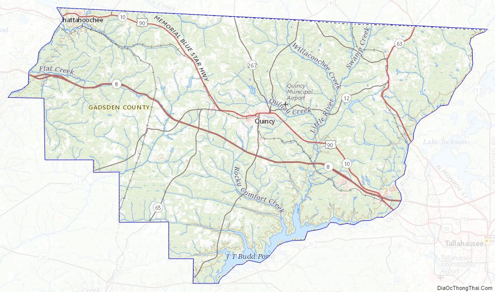
Gadsden County Topographic Map
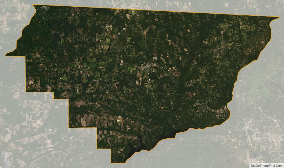
Gadsden County Satellite Map
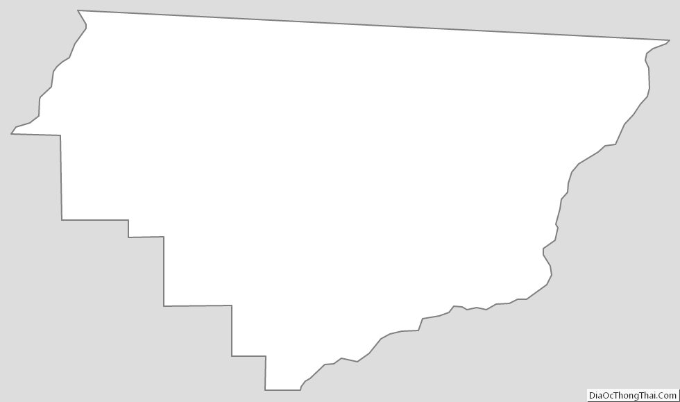
Gadsden County Outline Map