Chattahoochee is a city in Gadsden County, Florida, United States. Its history dates to the Spanish era. The population was 3,652 as of the 2010 census, up from 3,287 at the 2000 census. It is part of the Tallahassee, Florida Metropolitan Statistical Area. Chattahoochee sits on the banks of the Apalachicola River, and is separated by the Apalachicola and Victory bridges from neighboring Sneads, Florida, which is in Jackson County. Chattahoochee has its own police force with over ten sworn officers and a police chief. Chattahoochee is a name derived from the Creek language meaning “marked rocks”.
| Name: | Chattahoochee city |
|---|---|
| LSAD Code: | 25 |
| LSAD Description: | city (suffix) |
| State: | Florida |
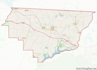
| County: | Gadsden County |
| Elevation: | 236 ft (72 m) |
| Total Area: | 5.79 sq mi (15.01 km²) |
| Land Area: | 5.60 sq mi (14.51 km²) |
| Water Area: | 0.19 sq mi (0.50 km²) |
| Total Population: | 2,955 |
| Population Density: | 527.58/sq mi (203.71/km²) |
| ZIP code: | 32324 |
| Area code: | 850 |
| FIPS code: | 1211800 |
| GNISfeature ID: | 0280346 |
| Website: | www.chattgov.org |
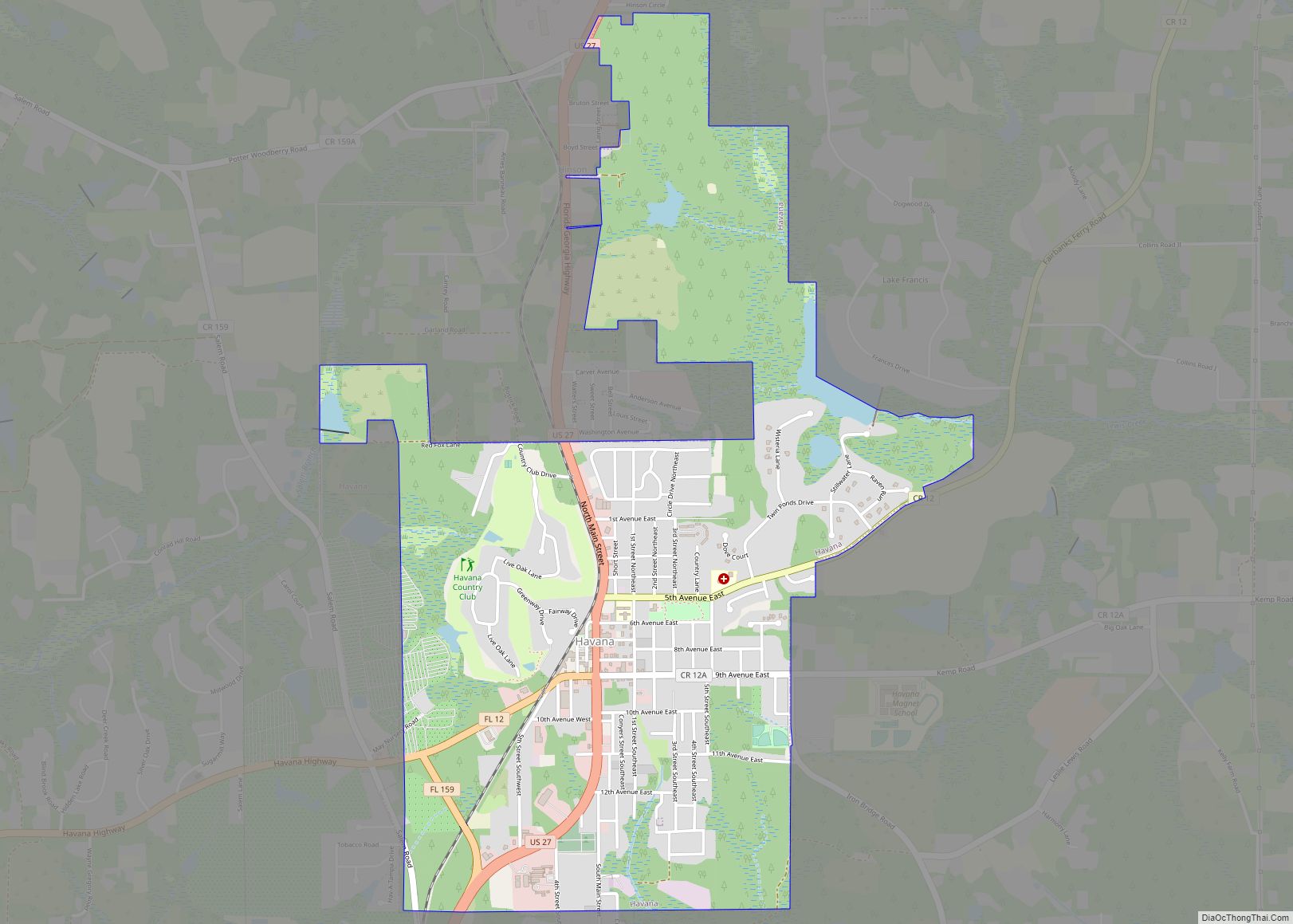
Online Interactive Map
Click on ![]() to view map in "full screen" mode.
to view map in "full screen" mode.
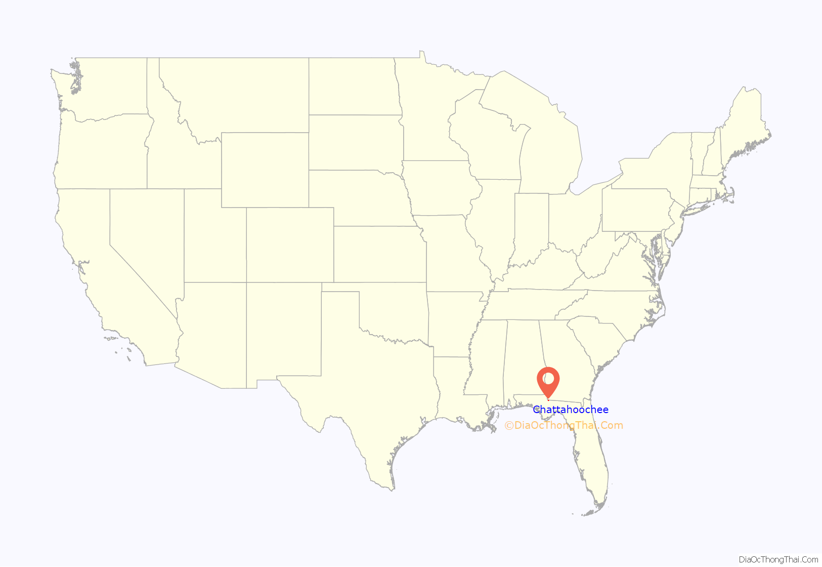
Chattahoochee location map. Where is Chattahoochee city?

History
The area was inhabited by indigenous peoples who built mounds in the area (Chattahoochee Oanding Mounds). Chattahoochee was established as Mount Vernon in the 1820s. A British Fort, Nicolls’ Outpost was built in the area. The Scott Massacre of 1817 took place. A ferry was established.
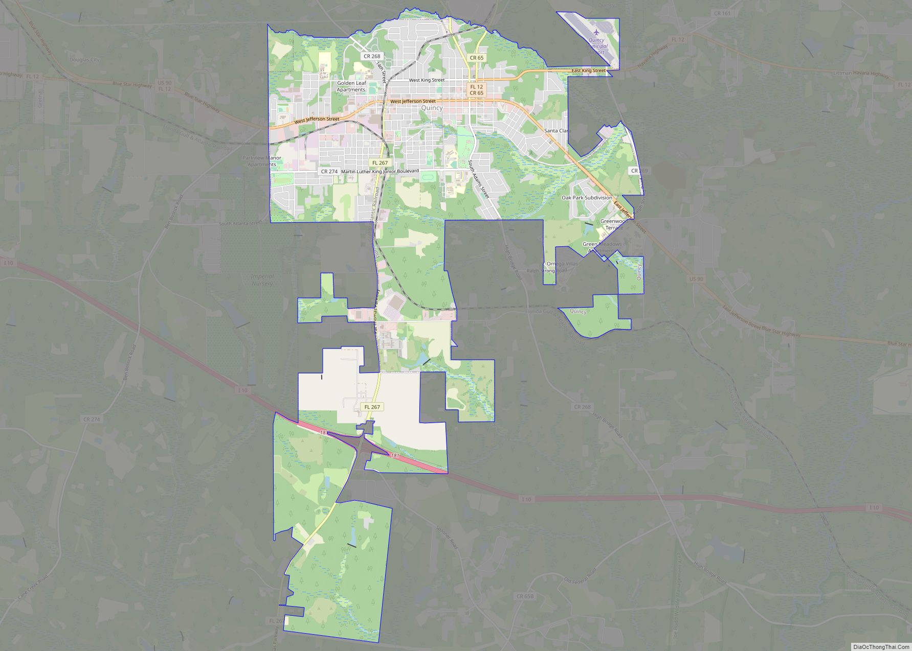
Chattahoochee Road Map

Chattahoochee city Satellite Map

Geography
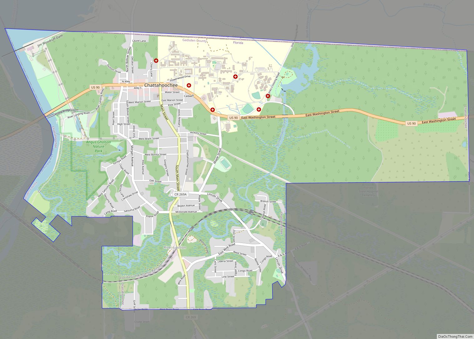
Chattahoochee is located in the northwest corner of Gadsden County at 30°42′N 84°51′W (30.703, –84.847). It is bordered to the west by the Apalachicola River, formed by the juncture of the Chattahoochee and Flint rivers within Lake Seminole just north of the city. The northern border of Chattahoochee follows the Florida–Georgia state line, and the Apalachicola River forms the Gadsden–Jackson county line.
U.S. Route 90 passes through the middle of Chattahoochee as Washington Street; it leads southeast 19 miles (31 km) to Quincy, the Gadsden County seat, and west 5 miles (8 km) to Sneads and 24 miles (39 km) to Marianna. Tallahassee, the state capital, is 43 miles (69 km) to the southeast. Main Street (Little Sycamore Road outside the city limits) leads south 6 miles (10 km) via Flat Creek Road to Interstate 10 at Exit 166.
The southern part of the city includes the community of River Junction at 30°41′N 84°50′W (30.686, –84.841). In the mid-1880s, River Junction was established as a railroad connection point between the Florida Central & Western, later the Seaboard Air Line, and the Pensacola & Atlantic. The connecting track survives.
According to the United States Census Bureau, Chattahoochee has a total area of 5.7 square miles (14.7 km), of which 5.5 square miles (14.2 km) is land and 0.2 square miles (0.5 km), or 3.30%, is water.
See also
Map of Florida State and its subdivision:- Alachua
- Baker
- Bay
- Bradford
- Brevard
- Broward
- Calhoun
- Charlotte
- Citrus
- Clay
- Collier
- Columbia
- Desoto
- Dixie
- Duval
- Escambia
- Flagler
- Franklin
- Gadsden
- Gilchrist
- Glades
- Gulf
- Hamilton
- Hardee
- Hendry
- Hernando
- Highlands
- Hillsborough
- Holmes
- Indian River
- Jackson
- Jefferson
- Lafayette
- Lake
- Lee
- Leon
- Levy
- Liberty
- Madison
- Manatee
- Marion
- Martin
- Miami-Dade
- Monroe
- Nassau
- Okaloosa
- Okeechobee
- Orange
- Osceola
- Palm Beach
- Pasco
- Pinellas
- Polk
- Putnam
- Saint Johns
- Saint Lucie
- Santa Rosa
- Sarasota
- Seminole
- Sumter
- Suwannee
- Taylor
- Union
- Volusia
- Wakulla
- Walton
- Washington
- Alabama
- Alaska
- Arizona
- Arkansas
- California
- Colorado
- Connecticut
- Delaware
- District of Columbia
- Florida
- Georgia
- Hawaii
- Idaho
- Illinois
- Indiana
- Iowa
- Kansas
- Kentucky
- Louisiana
- Maine
- Maryland
- Massachusetts
- Michigan
- Minnesota
- Mississippi
- Missouri
- Montana
- Nebraska
- Nevada
- New Hampshire
- New Jersey
- New Mexico
- New York
- North Carolina
- North Dakota
- Ohio
- Oklahoma
- Oregon
- Pennsylvania
- Rhode Island
- South Carolina
- South Dakota
- Tennessee
- Texas
- Utah
- Vermont
- Virginia
- Washington
- West Virginia
- Wisconsin
- Wyoming