Quincy is a city in and the county seat of Gadsden County, Florida, United States. The population was 7,970 as of the 2020 census. Quincy is part of the Tallahassee metropolitan area.
| Name: | Quincy city |
|---|---|
| LSAD Code: | 25 |
| LSAD Description: | city (suffix) |
| State: | Florida |
| County: | Gadsden County |
| Elevation: | 207 ft (63 m) |
| Total Area: | 11.65 sq mi (30.17 km²) |
| Land Area: | 11.65 sq mi (30.17 km²) |
| Water Area: | 0.00 sq mi (0.00 km²) |
| Total Population: | 7,970 |
| Population Density: | 684.18/sq mi (264.16/km²) |
| ZIP code: | 32351-32353 |
| Area code: | 850 |
| FIPS code: | 1259325 |
| GNISfeature ID: | 0289404 |
| Website: | www.myquincy.net |
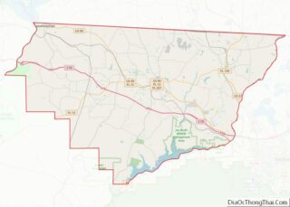
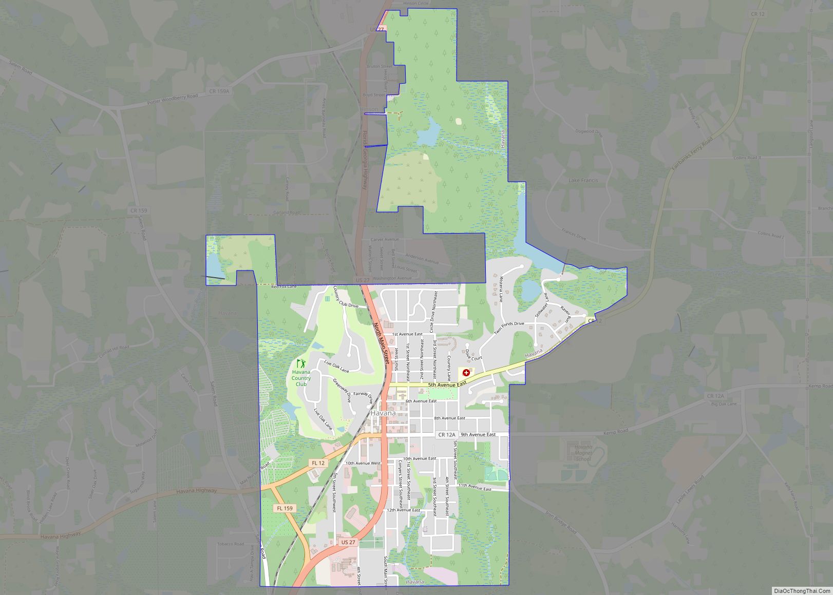
Online Interactive Map
Click on ![]() to view map in "full screen" mode.
to view map in "full screen" mode.
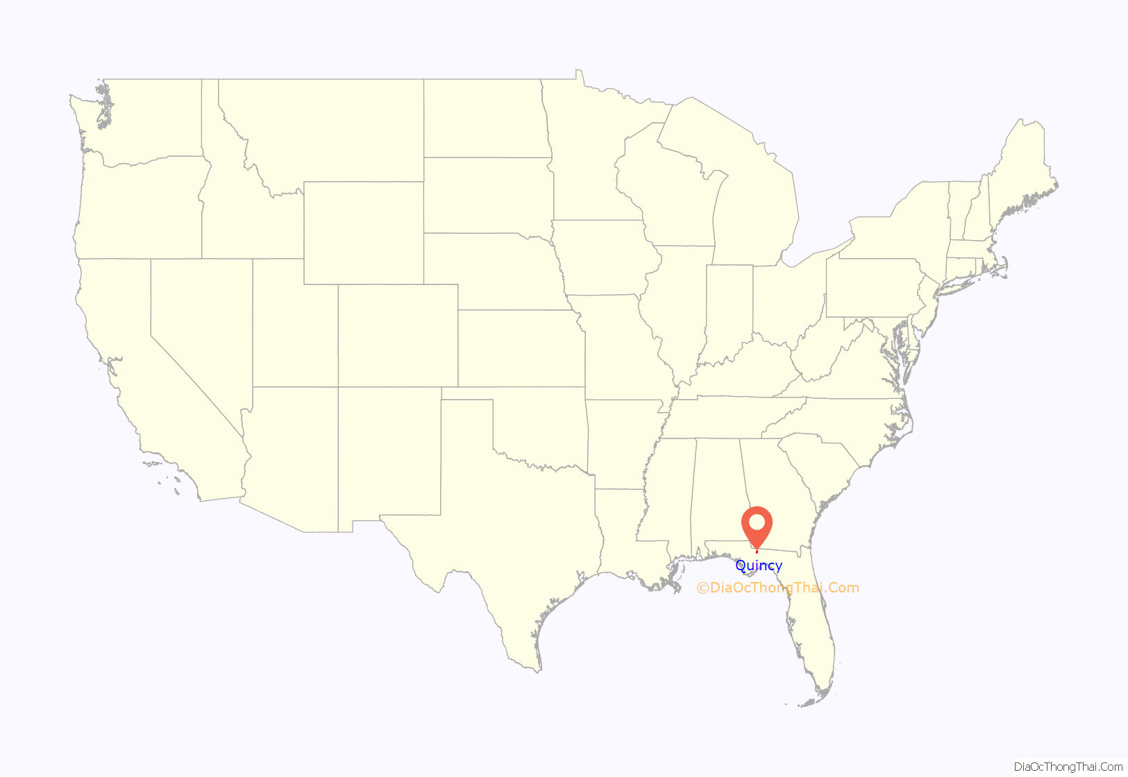
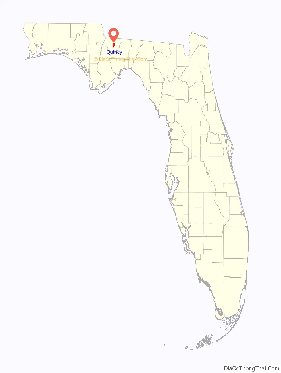
Quincy location map. Where is Quincy city?
History
Early Florida Statehood and Antebellum Years
Established in 1828, Quincy is the county seat of Gadsden County, and was named for John Quincy Adams. It is located 25 miles (40 km) northwest of Tallahassee, the state capital. Quincy’s economy was based on agriculture, including farming tomatoes, tobacco, mushrooms, soybeans and other crops.
According to The Floridian newspaper, in 1840 there were two schools in Quincy, the Quincy Male Academy and the Quincy Female Academy. Joshua Knowles published the Quincy Sentinel in Quincy from November 1839 until it relocated to Tallahassee and became the Florida Sentinel in 1841. The paper began publishing in Tallahassee in February or March 1841 as a successor to Quincy Sentinel.
American Civil War
William Tennent Stockton, once mayor of Quincy, raised a cavalry company following secession called the Gadsden Dragoons. He was subsequently appointed as captain of the 1st Florida Cavalry Regiment.
Tobacco
In 1828, Governor William P. Duval introduced Cuban tobacco to the territory of Florida. As a result, the culture of shade-grown cigar wrapper tobacco was a dominant factor in the social and economic development of Gadsden County. Tobacco is a native plant of the western hemisphere. Early European explorers discovered Native Americans growing the plant when they set foot on their soil.
In 1829, John Smith migrated to Gadsden County in covered wagons with his family and four related families. Since there was already a resident named John Smith in the community, he became known as John “Virginia” Smith. When Smith ventured southward he brought with him a type of tobacco seed which was used for chewing and pipe smoking. He planted that seed and found that the plants grew vigorously. Because there was no market for tobacco in small quantities, it was twisted together, cured and shared with his friends. He purchased some Cuban tobacco seed and planted them with his Virginia tobacco. Several years passed and the two tobaccos blended.
When the Virginia tobacco was grown in Florida soil, it was much thinner and lighter in color. Smith began saving the seed from the hybridized stalks. From these seeds, a new plant known as “Florida Wrapper” was developed. So began a tobacco industry at a time when the South was suffering from the low price of cotton.
Growing tobacco continued to be profitable until the beginning of the Civil War in 1861, even when the European markets were no longer available. Of course, during the war and the Reconstruction Era, very little tobacco was grown except for personal use. Those days were tremendously difficult, and recovery was a slow process. The post-war search for a money crop led to the resurgence of the tobacco culture. Through these experiments it was discovered that tobacco which was light in color and silky in texture demanded the highest prices. With more experimentation, shading the plants began. At first, wood slats were used, but these proved too heavy. Then they tried slats draped with cheesecloth to keep the plants from the light. Next came ribbed cheesecloth. Ultimately in 1950, the white cheesecloth was replaced with a treated, longer lasting, yellow cloth that provided perfect shade.
Colonel Henry DuVal, president of the Florida Central and Peninsular Railroad, shipped samples of Gadsden County tobacco to New York for leaf dealers and cigar manufacturers to inspect. Soon representatives of several companies came down from New York to purchase land for growing tobacco. There was such an influx of land purchases that a number of packing houses arose. This continued until 1970 when tobacco companies came under fire and demand diminished. Around 1970, growing tobacco declined substantially in Gadsden. The development of a homogenized cigar wrapper, the ever-increasing cost of production, the subsidizing of the tobacco culture in Central America by the U.S. government, and the increasing, negative legal climate against the tobacco industry have added to the demise of Gadsden’s future in tobacco. The last crop of shade-grown cigar wrapper tobacco was grown in 1977.
Quincy then turned to its other crops, tomato, mushroom and egg farms. This continued until the close of Quincy’s mushroom factory and massive layoff of workers at Quincy’s tomato farm in 2008. Quincy now turns to its businesses and is attempting to build itself into a business-based district.
Race relations
In 1929, Will Larkins was accused of an attack on a white 13 year old Quincy school girl, for which he was quickly indicted. As Larkins was being transferred he was taken by a mob of 40 masked men from Sheriff Gregory of Gadsden county, near Madison and Live Oak. When he was kidnapped by the mob he was being taken to the Duval county jail in a series of moves that newspapers claimed were for his safe keeping. After his capture by the mob Larkins was carried back to Quincy, near the railroad grade crossing, shot to death and hanged with wire, his body was then dragged through the street tied to an automobile and burned at the area where the mob thought the accused committed his crime. Though Governor Carlton promised an inquiry and investigators were put on the case in late 1929, no mention of Will Larkins, except for the NAACP lynching lists of 1929, is made again in newspapers of the time. Larkins was the third man lynched in Florida that year.
In 1941, A. C. Williams was accused of robbery and the attempted rape of a 12 year old white girl. The account of the details makes the accusation very improbable, but Williams did not live long enough to be tried for the crime. He was kidnapped from jail by a group of white men, and although they both shot him and hanged him, Williams survived. After learning he was alive, the sheriff formed a search party. His family was aware the sheriff had been involved in the lynching, and hid him. Unfortunately, Williams needed medical attention and since the hospitals in the Quincy area would not treat a black person, he needed to be transported to Florida A&M University in Tallahassee. The following day a group of masked men kidnapped him from the ambulance and killed him. His body was dumped on his mother’s porch.
In the 1920s, blacks in Quincy including A. I. Dixie repeatedly tried to form political organizations and vote, and protest brutal labor conditions, but were suppressed by violence from whites. Dixie was flogged repeatedly for his efforts. Later, in 1964, Dixie hosted Congress of Racial Equality student activists, while his daughter Linda organized a sit-in, and Jewell Dixie became the first African American to run for Gadsden County Sheriff.
All American City
In 1996, Quincy was recognized as an All American City.
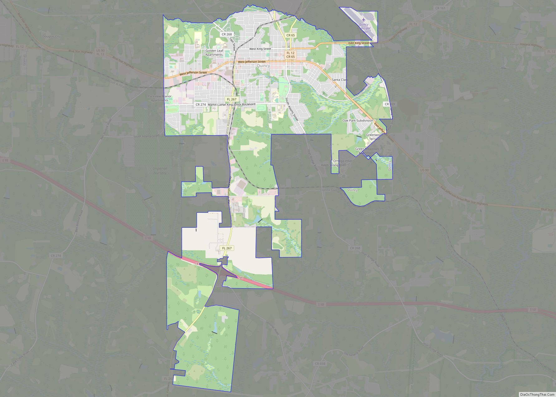
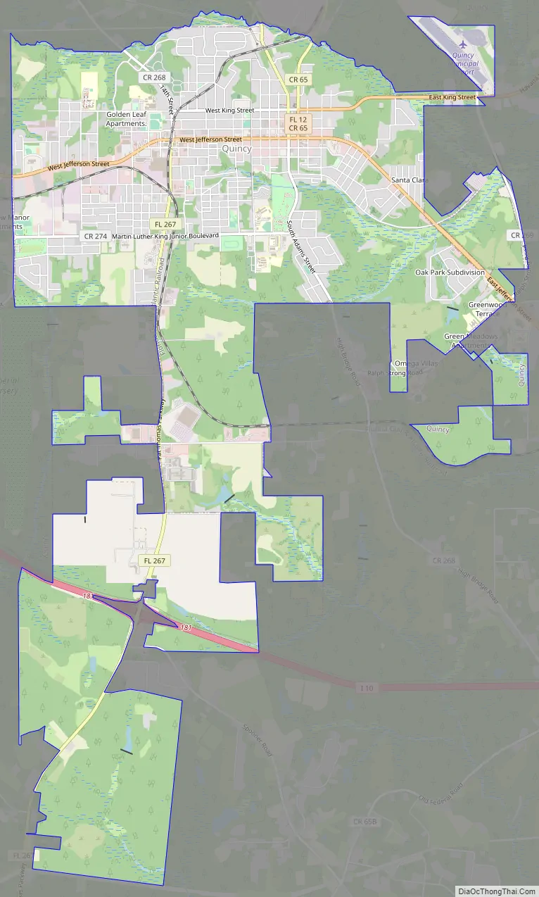
Quincy Road Map
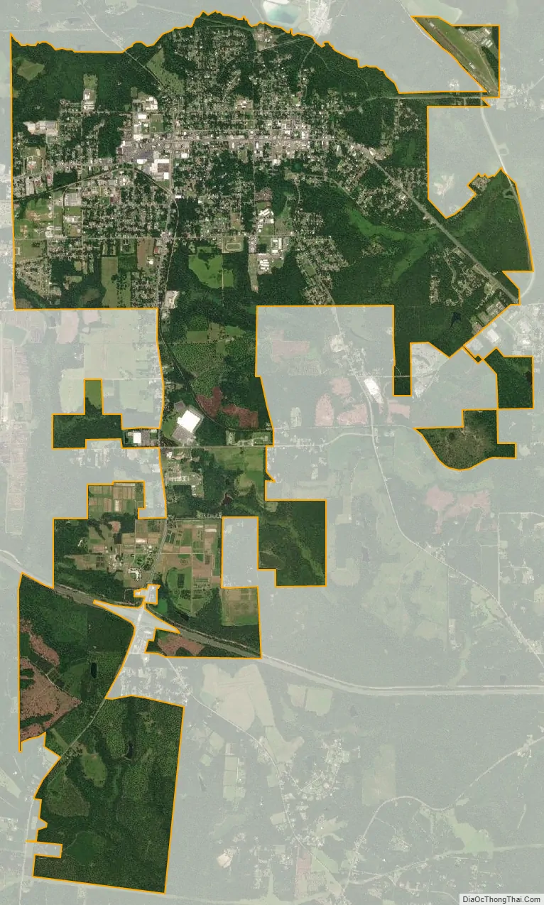
Quincy city Satellite Map
Geography
Quincy is located in central Gadsden County at 30°35′N 84°35′W / 30.583°N 84.583°W / 30.583; -84.583 (30.59, –84.58), in the rolling hills of North Florida.
According to the United States Census Bureau, the city has a total area of 7.9 square miles (20.5 km), of which 0.02 square miles (0.04 km), or 0.18%, is water.
Climate
See also
Map of Florida State and its subdivision:- Alachua
- Baker
- Bay
- Bradford
- Brevard
- Broward
- Calhoun
- Charlotte
- Citrus
- Clay
- Collier
- Columbia
- Desoto
- Dixie
- Duval
- Escambia
- Flagler
- Franklin
- Gadsden
- Gilchrist
- Glades
- Gulf
- Hamilton
- Hardee
- Hendry
- Hernando
- Highlands
- Hillsborough
- Holmes
- Indian River
- Jackson
- Jefferson
- Lafayette
- Lake
- Lee
- Leon
- Levy
- Liberty
- Madison
- Manatee
- Marion
- Martin
- Miami-Dade
- Monroe
- Nassau
- Okaloosa
- Okeechobee
- Orange
- Osceola
- Palm Beach
- Pasco
- Pinellas
- Polk
- Putnam
- Saint Johns
- Saint Lucie
- Santa Rosa
- Sarasota
- Seminole
- Sumter
- Suwannee
- Taylor
- Union
- Volusia
- Wakulla
- Walton
- Washington
- Alabama
- Alaska
- Arizona
- Arkansas
- California
- Colorado
- Connecticut
- Delaware
- District of Columbia
- Florida
- Georgia
- Hawaii
- Idaho
- Illinois
- Indiana
- Iowa
- Kansas
- Kentucky
- Louisiana
- Maine
- Maryland
- Massachusetts
- Michigan
- Minnesota
- Mississippi
- Missouri
- Montana
- Nebraska
- Nevada
- New Hampshire
- New Jersey
- New Mexico
- New York
- North Carolina
- North Dakota
- Ohio
- Oklahoma
- Oregon
- Pennsylvania
- Rhode Island
- South Carolina
- South Dakota
- Tennessee
- Texas
- Utah
- Vermont
- Virginia
- Washington
- West Virginia
- Wisconsin
- Wyoming