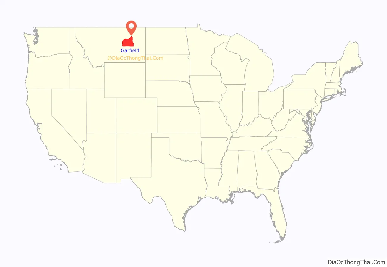
Garfield County is a county located in the U.S. state of Montana. As of the 2020 census, the population was 1,173. Its county seat is Jordan.
Garfield County is noteworthy as the site of the discovery and excavation of four of the world’s dozen or so major specimens (as of 1994) of Tyrannosaurus rex. A cast of the skull of one of these dinosaurs is on display at the Garfield County Museum.
| Name: | Garfield County |
|---|---|
| FIPS code: | 30-033 |
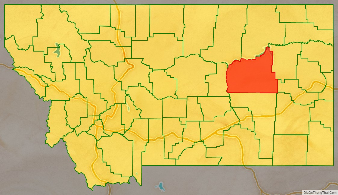
| State: | Montana |
| Founded: | February 7, 1919 |
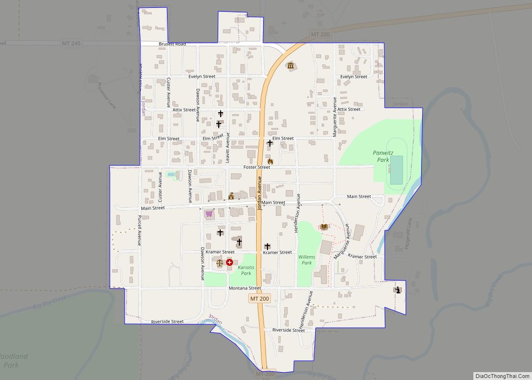
| Seat: | Jordan |
| Largest town: | Jordan |
| Total Area: | 4,847 sq mi (12,550 km²) |
| Land Area: | 4,675 sq mi (12,110 km²) |
| Total Population: | 1,173 |
| Population Density: | 0.24/sq mi (0.093/km²) |
| Time zone: | UTC−7 (Mountain) |
| Summer Time Zone (DST): | UTC−6 (MDT) |
| Website: | www.garfieldco.us/index.html |
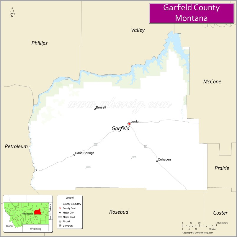
Garfield County location map. Where is Garfield County?
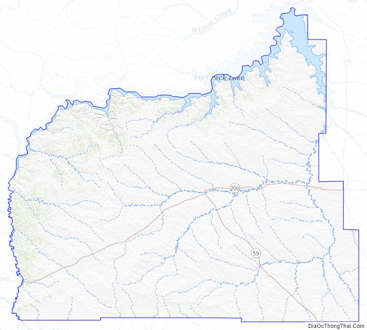
Garfield County Road Map

Geography
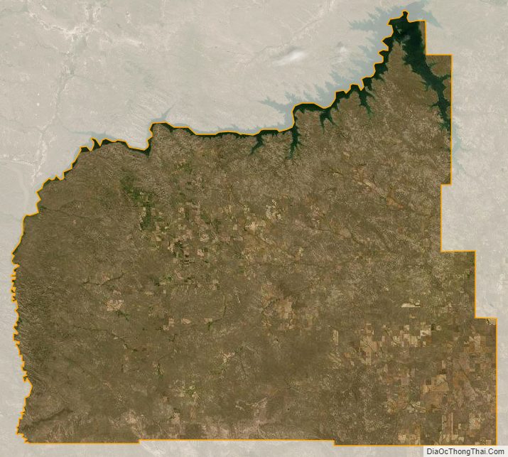
According to the United States Census Bureau, the county has a total area of 4,847 square miles (12,550 km), of which 4,675 square miles (12,110 km) is land and 172 square miles (450 km) (3.6%) is water. Its average population density of 0.1058 inhabitants/km (0.274/sq mi) is the third-lowest of any county outside of Alaska (behind Loving County, Texas and Esmeralda County, Nevada).
Major highways
- Montana Highway 22
- Montana Highway 59
- Montana Highway 24
- Montana Highway 200
Adjacent counties
- Phillips County – northwest
- Valley County – north
- McCone County – east
- Prairie County – east
- Custer County – southeast
- Rosebud County – south
- Petroleum County – west
National protected area
- Charles M. Russell National Wildlife Refuge (part)
Garfield County Topographic Map
Garfield County Satellite Map
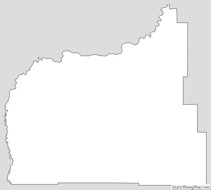
Garfield County Outline Map