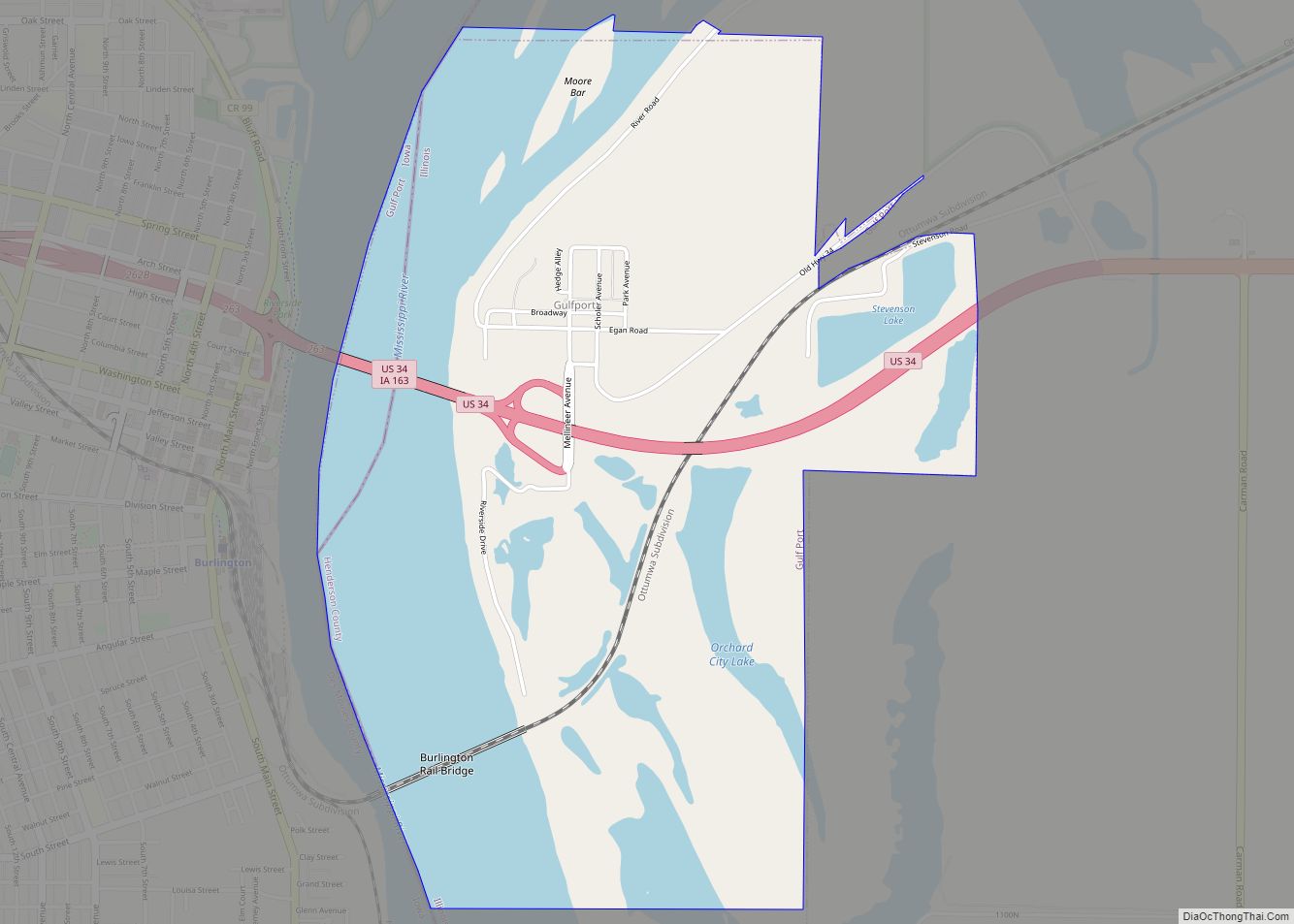
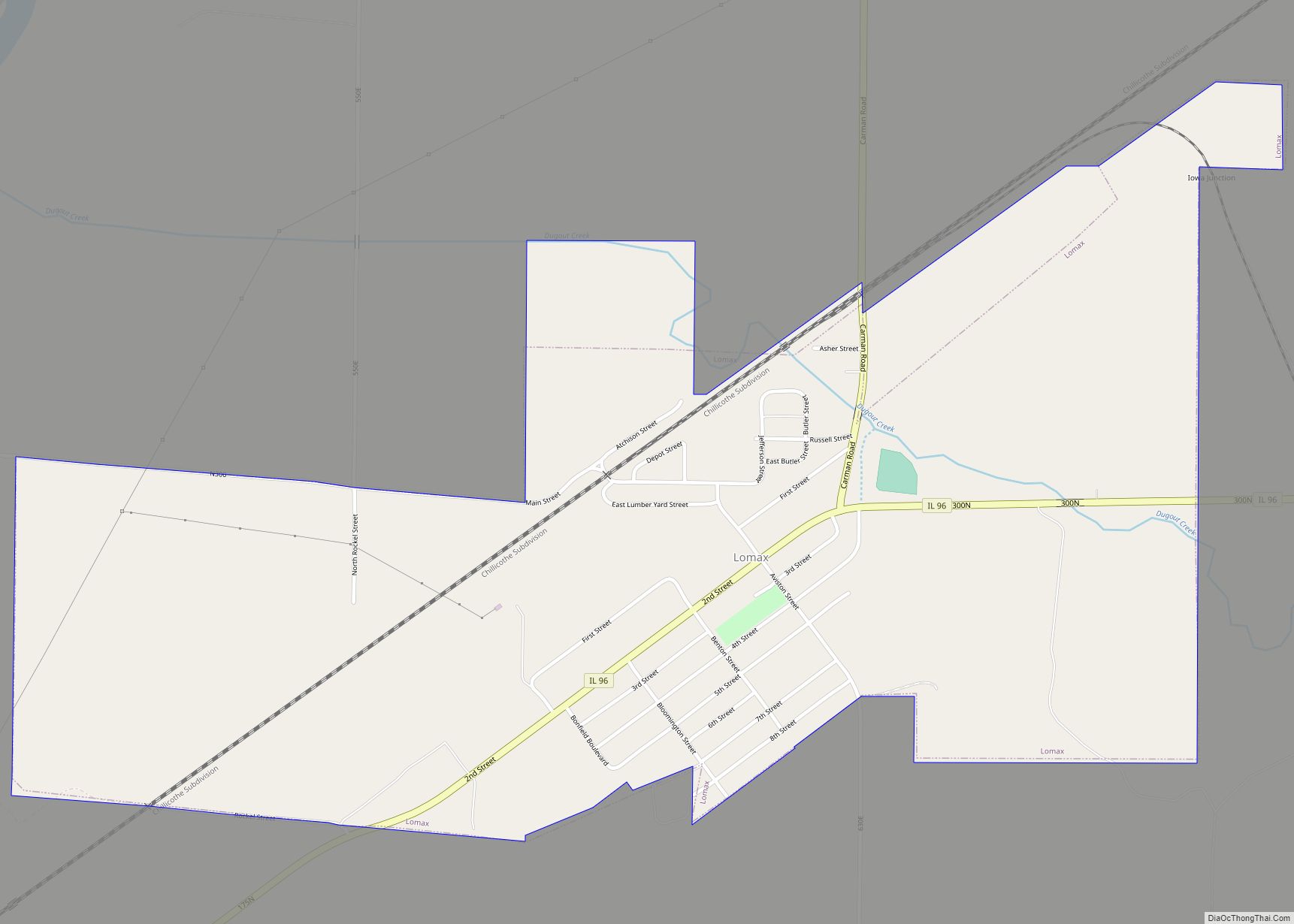
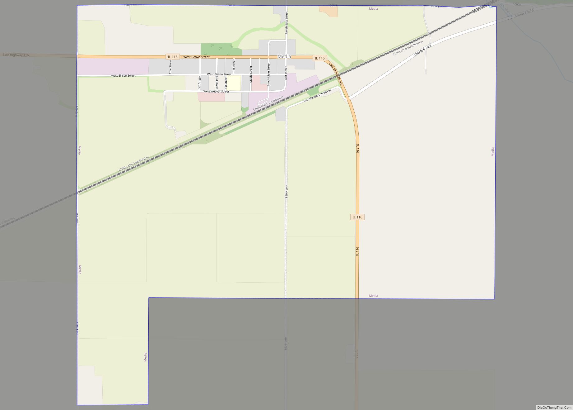
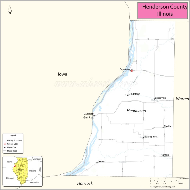
Henderson County is a county located in the U.S. state of Illinois. According to the 2010 United States Census, it has a population of 7,331. Its county seat is Oquawka.
Henderson County is part of the Burlington, IA–IL Micropolitan Statistical Area.
| Name: | Henderson County |
|---|---|
| FIPS code: | 17-071 |
| State: | Illinois |
| Founded: | 1841 |
| Named for: | Richard Henderson |
| Seat: | Oquawka |
| Total Area: | 395 sq mi (1,020 km²) |
| Land Area: | 379 sq mi (980 km²) |
| Total Population: | 7,331 |
| Population Density: | 19/sq mi (7.2/km²) |
| Time zone: | UTC−6 (Central) |
| Summer Time Zone (DST): | UTC−5 (CDT) |
| Website: | www.hendersoncountyedc.com |
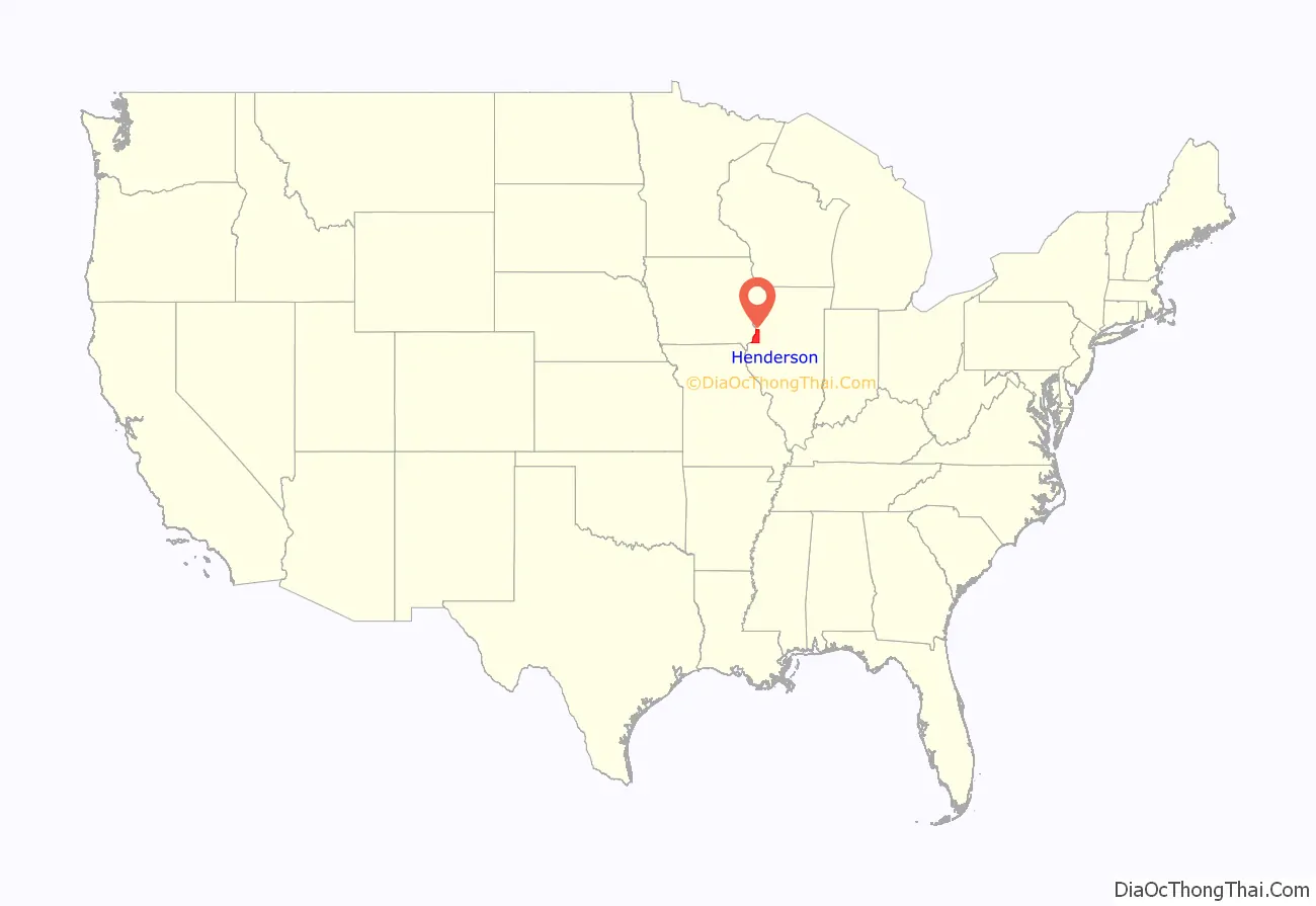
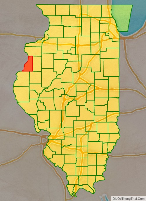
Henderson County location map. Where is Henderson County?
History
Henderson County was formed in 1841 from a portion of Warren County. It was named for Henderson County, Kentucky, which was named for Richard Henderson, founder of the Transylvania Company, an early attempt to organize what later became Kentucky around 1775.
Henderson County at the time of its creation in 1841
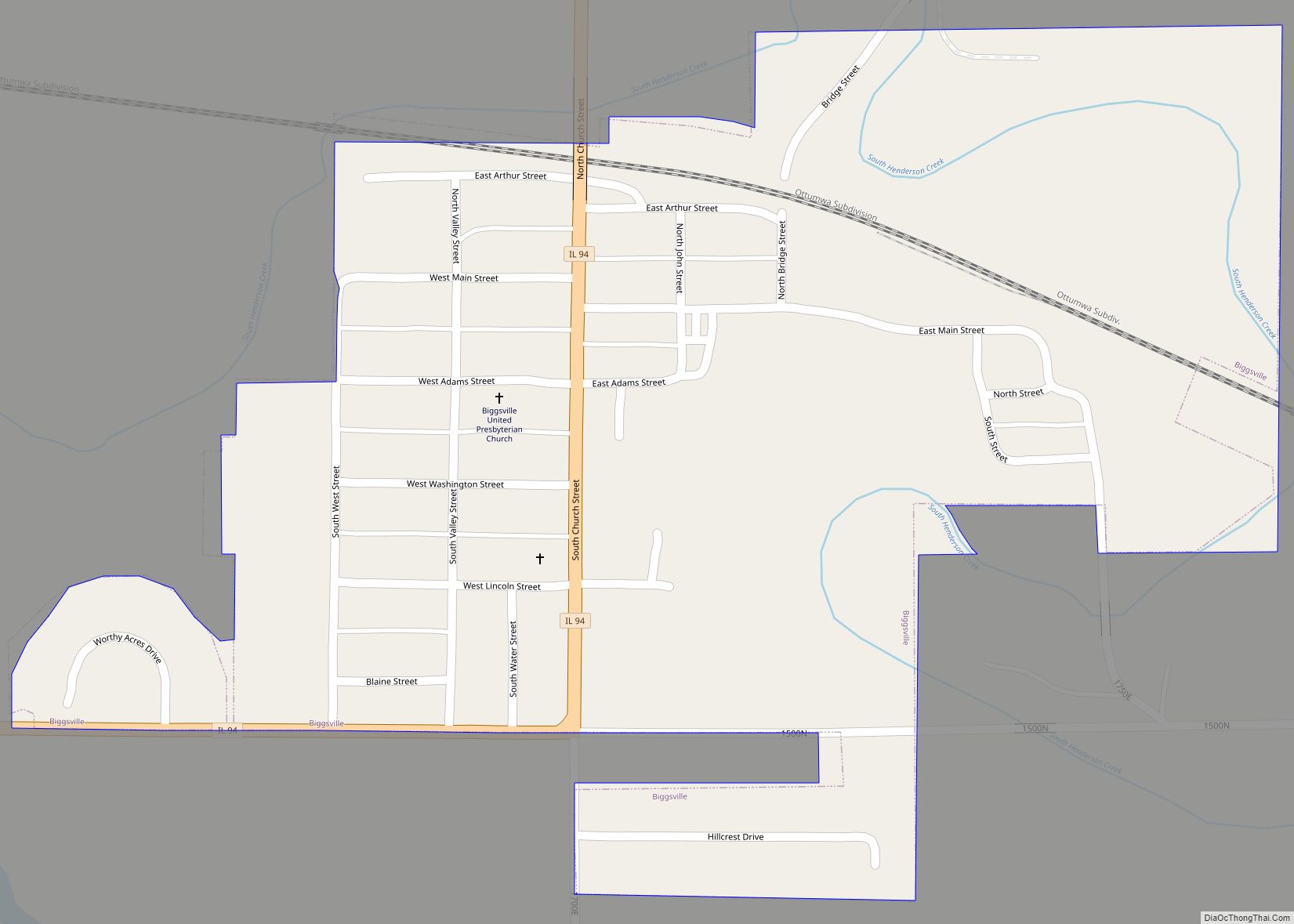
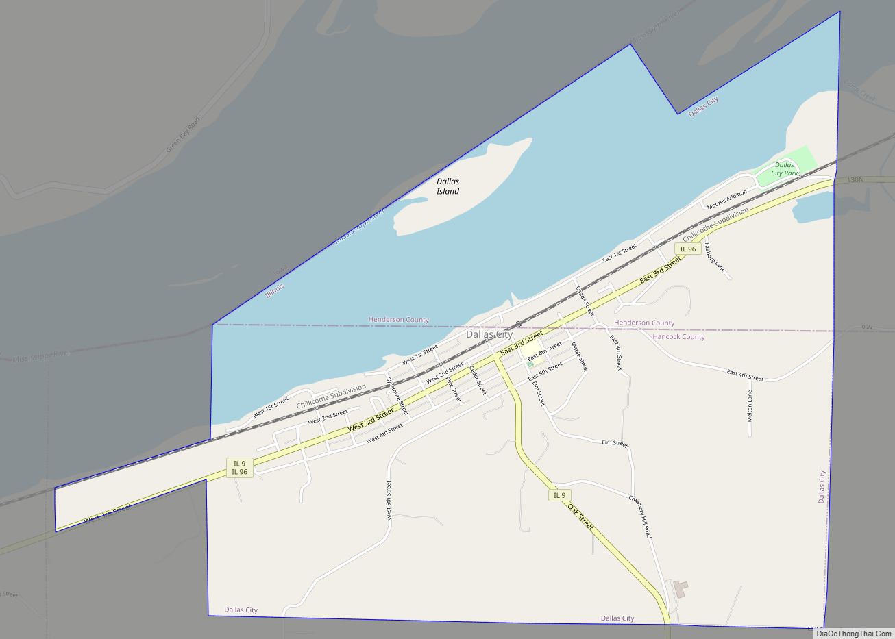
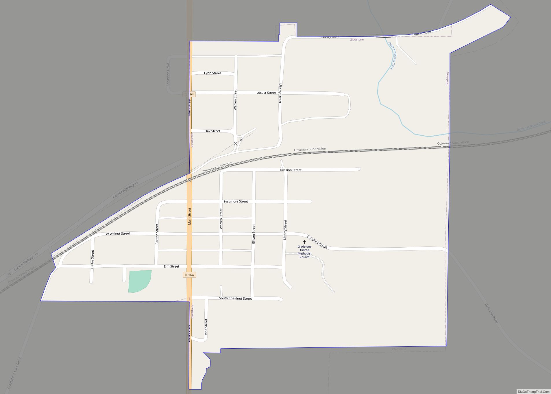
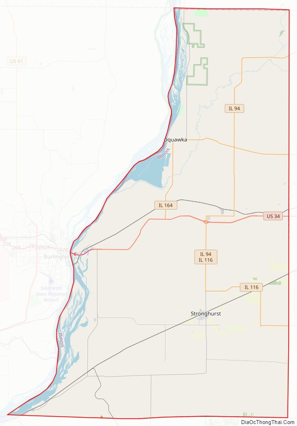
Henderson County Road Map
Geography
According to the US Census Bureau, the county has a total area of 395 square miles (1,020 km), of which 379 square miles (980 km) is land and 16 square miles (41 km) (4.1%) is water.
Climate and weather
In recent years, average temperatures in the county seat of Oquawka have ranged from a low of 15 °F (−9 °C) in January to a high of 85 °F (29 °C) in July, although a record low of −26 °F (−32 °C) was recorded in February 1996 and a record high of 105 °F (41 °C) was recorded in August 1983. Average monthly precipitation ranged from 1.31 inches (33 mm) in January to 4.48 inches (114 mm) in July.
Major highways
- U.S. Highway 34
- Illinois Route 94
- Illinois Route 96
- Illinois Route 116
- Illinois Route 164
Adjacent counties
- Mercer County – north
- Warren County – east
- McDonough County – southeast
- Hancock County – south
- Lee County, Iowa – southwest
- Des Moines County, Iowa – west
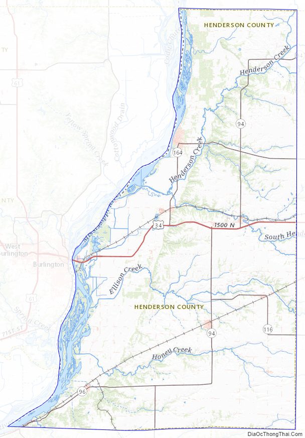
Henderson County Topographic Map
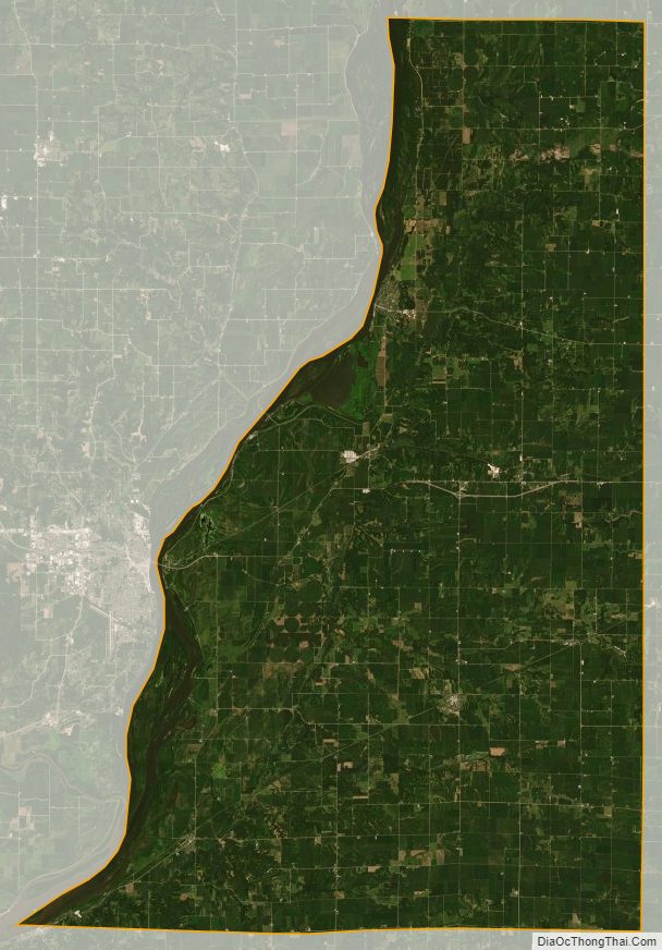
Henderson County Satellite Map
Henderson County Outline Map