Lincoln County is a county located in the U.S. state of North Carolina. As of the 2020 census, the population was 86,810. Its county seat is Lincolnton. Lincoln County is included in the Charlotte-Concord-Gastonia, NC-SC Metropolitan Statistical Area.
| Name: | Lincoln County |
|---|---|
| FIPS code: | 37-109 |
| State: | North Carolina |
| Founded: | 1779 |
| Named for: | Benjamin Lincoln |
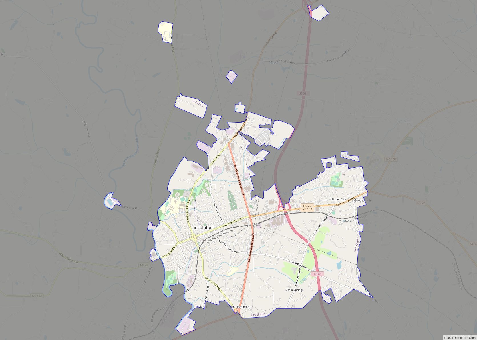
| Seat: | Lincolnton |
| Largest city: | Lincolnton |
| Total Area: | 307 sq mi (800 km²) |
| Land Area: | 298 sq mi (770 km²) |
| Total Population: | 89,670 |
| Population Density: | 300.9/sq mi (116.2/km²) |
| Time zone: | UTC−5 (Eastern) |
| Summer Time Zone (DST): | UTC−4 (EDT) |
| Website: | www.lincolncounty.org |
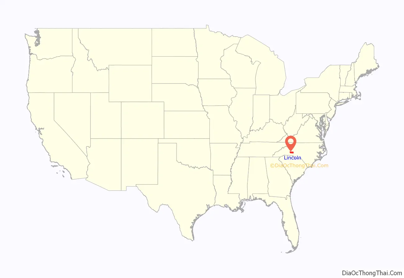
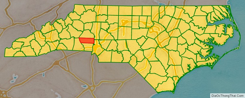
Lincoln County location map. Where is Lincoln County?
History
The county was formed in 1779 from the eastern part of Tryon County, which had been settled by Europeans in the mid-18th Century. It was named for Benjamin Lincoln, a general in the American Revolutionary War.” During the American Revolution, the Battle of Ramsour’s Mill occurred near a grist mill in Lincolnton.
In 1782 the southeastern part of Burke County was annexed to Lincoln County. In 1841, parts of Lincoln County and Rutherford County were combined to form Cleveland County. In 1842, the northern third of Lincoln County became Catawba County. In 1846, the southern half of what was left of Lincoln County became Gaston County.
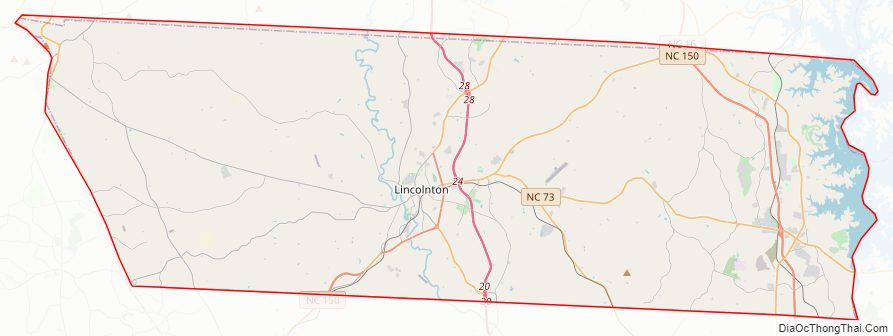
Lincoln County Road Map
Geography
According to the U.S. Census Bureau, the county has a total area of 307 square miles (800 km), of which 298 square miles (770 km) is land and 9.1 square miles (24 km) (3.0%) is water.
State and local protected areas
- Mountain Island Educational State Forest (part)
- Pee Wee’s Mountain Bike Trail
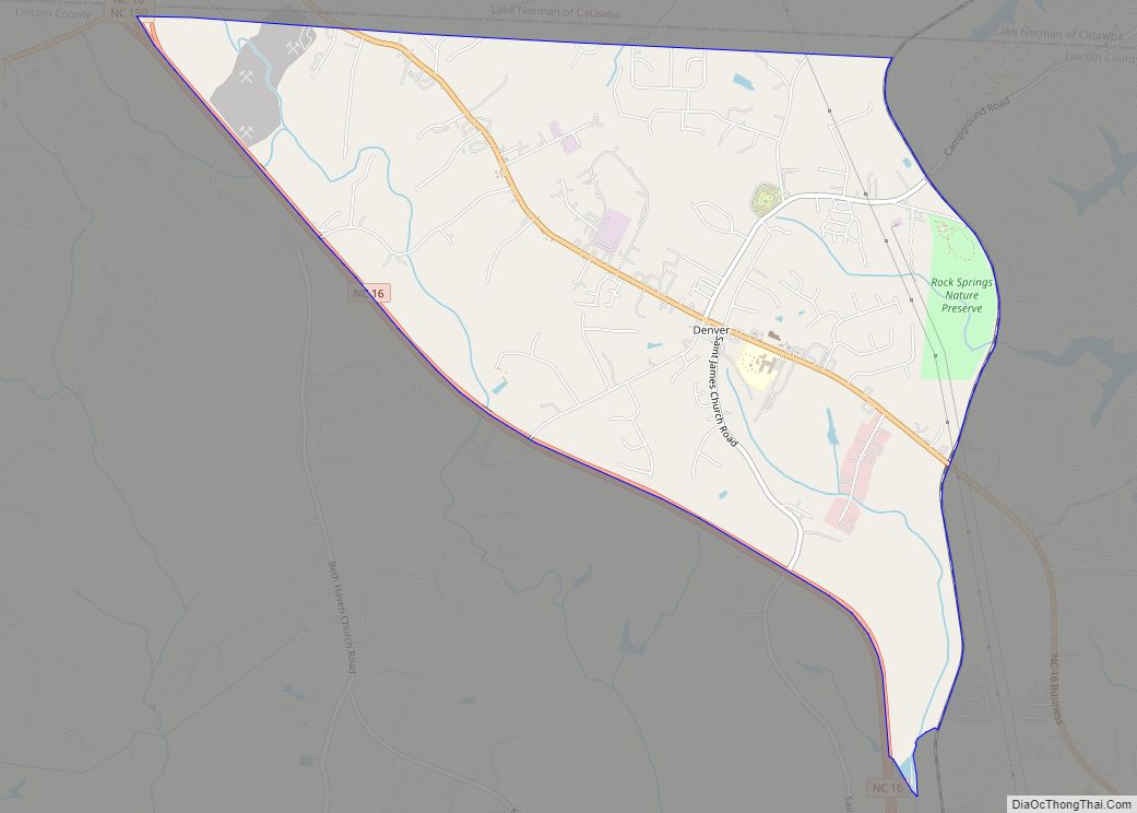
- Rock Springs Nature Preserve
- South Fork Rail Trail
Major water bodies
- Anderson Creek
- Ballard Creek
- Buffalo Creek
- Catawba River
- Crooked Creek
- Howard Creek
- Hoyle Creek
- Indian Creek
- Killian Creek
- Lake Norman
- Little Indian Creek
- South Fork Catawba River
- Tanyard Creek
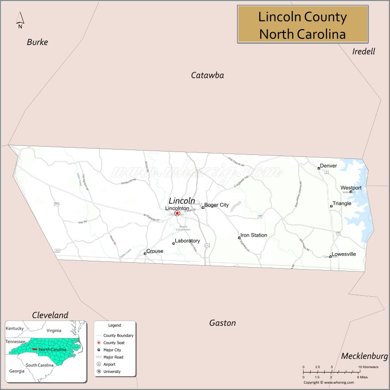
Adjacent counties
- Catawba County – north
- Iredell County – northeast
- Mecklenburg County – southeast
- Gaston County – south
- Cleveland County – west
- Burke County – northwest
Major highways
- US 321
- US 321 Bus.
- NC 10
- NC 16
- NC 16 Bus. (Business route)
- NC 18
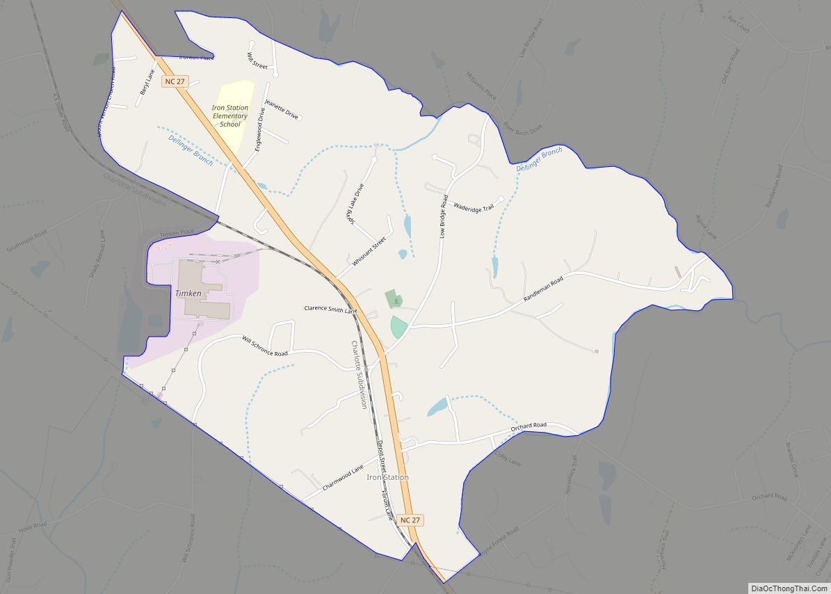
- NC 27
- NC 27 Truck (Truck route)
- NC 73
- NC 150
- NC 155
- NC 182
- NC 274
Major infrastructure
- Lincoln County Airport
Lincoln County Topographic Map
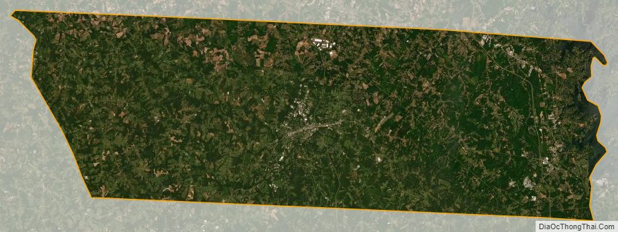
Lincoln County Satellite Map
Lincoln County Outline Map