Maiden is a town in Catawba and Lincoln counties in the U.S. state of North Carolina. The population was 3,310 at the 2010 census.
Maiden was the first public high school in the state with an observatory and is currently home to an Apple iCloud Data Center, covering 500,000 square feet (46,000 m). In May 2012, Apple announced it would generate 60 percent of the Maiden facility’s power itself, through a large deployment of fuel cells at the site and a 100-acre (40 ha) solar farm, with an additional 150-acre (61 ha) site 2 miles (3 km) away.
The Catawba County portion of Maiden is part of the Hickory–Lenoir–Morganton Metropolitan Statistical Area, while the Lincoln County portion is part of the Charlotte-Concord–Gastonia Metropolitan Area.
| Name: | Maiden town |
|---|---|
| LSAD Code: | 43 |
| LSAD Description: | town (suffix) |
| State: | North Carolina |
| County: | Catawba County, Lincoln County |
| Elevation: | 899 ft (274 m) |
| Total Area: | 6.25 sq mi (16.20 km²) |
| Land Area: | 6.19 sq mi (16.03 km²) |
| Water Area: | 0.07 sq mi (0.17 km²) |
| Total Population: | 3,736 |
| Population Density: | 603.75/sq mi (233.10/km²) |
| ZIP code: | 28650 |
| Area code: | 828 |
| FIPS code: | 3740660 |
| GNISfeature ID: | 0989240 |
| Website: | www.maidennc.com |
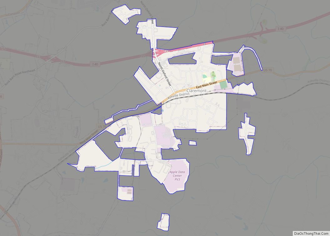
Online Interactive Map
Click on ![]() to view map in "full screen" mode.
to view map in "full screen" mode.
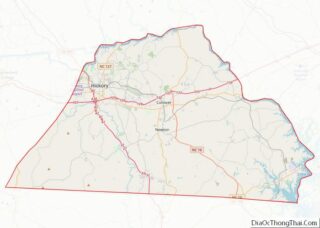
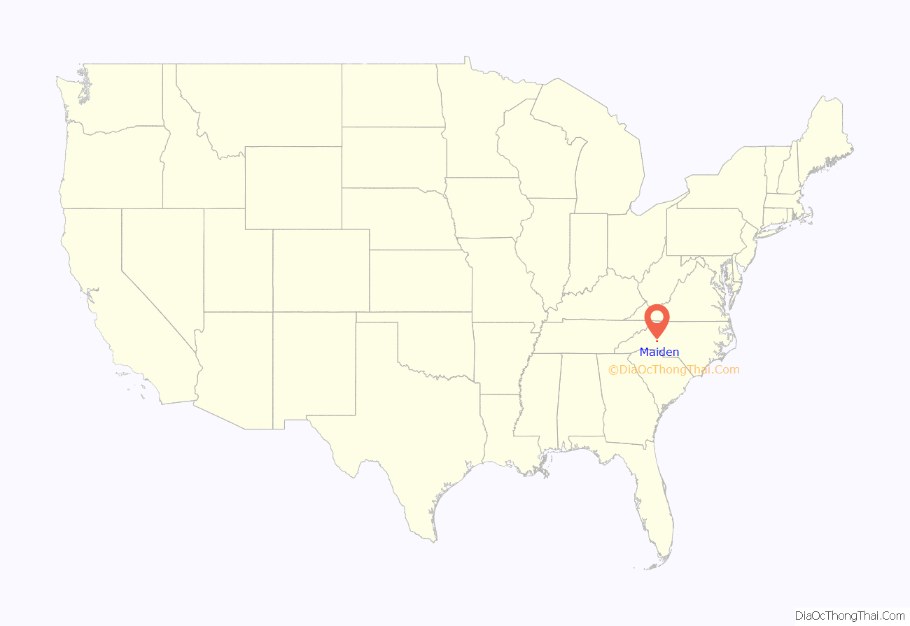
Maiden location map. Where is Maiden town?

History
“The Biggest Little Football Town in the World” (as it has long called itself) was incorporated on March 7, 1883 as a cotton mill site, and a trading center. The name “Maiden” most likely is Native American in origin.
Historians claim that the town was named after the native-grown “Maidencane” grass, which is found throughout the township to this day.
The David F. Propst House, Memorial Reformed Church, Miller–Cansler House, Franklin D. Reinhardt and Harren–Hood Farms, William Pinckney Reinhardt House, and Salem Union Church and Cemetery are listed on the National Register of Historic Places.
Maiden Road Map
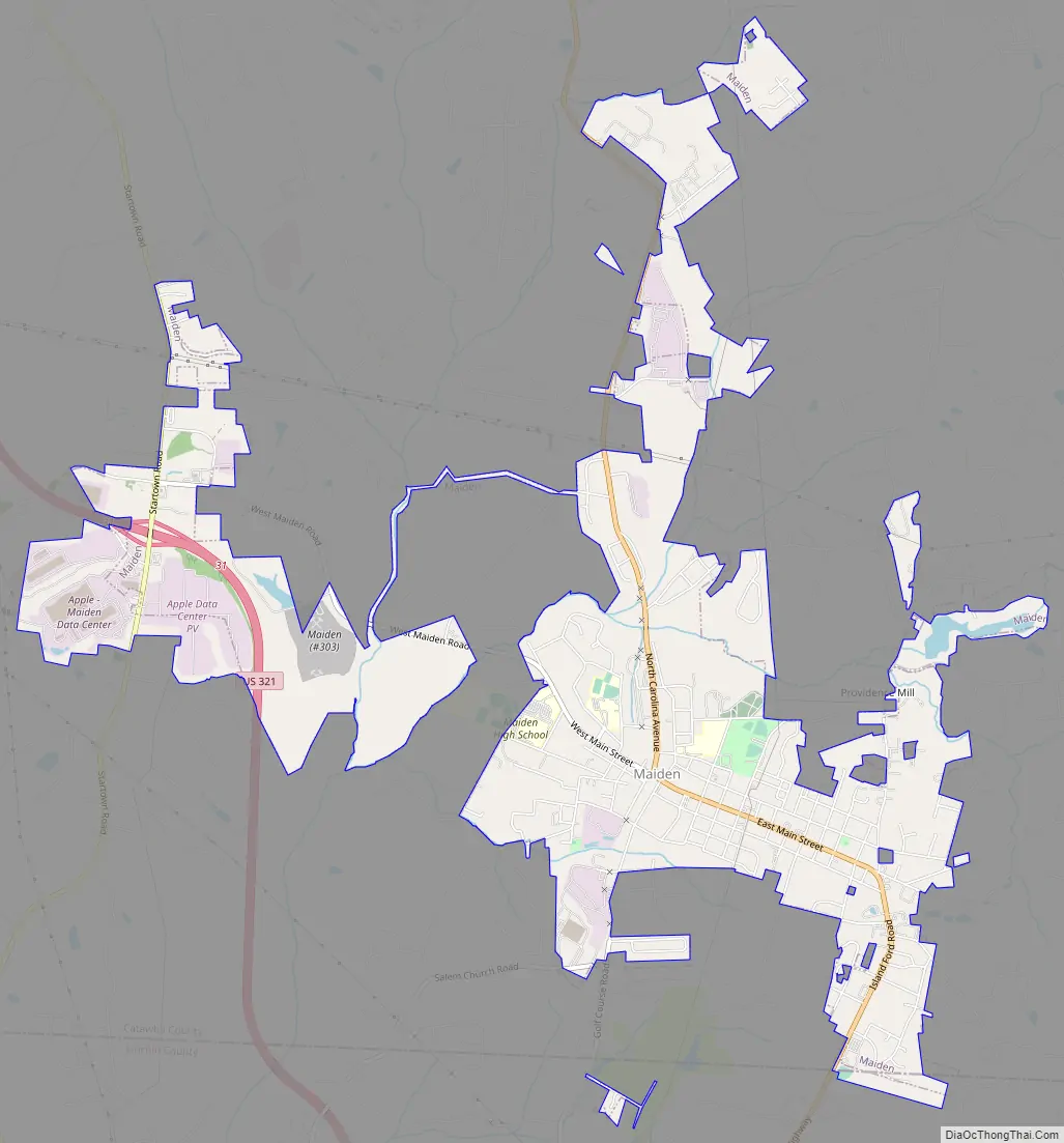
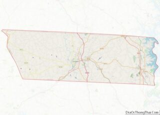
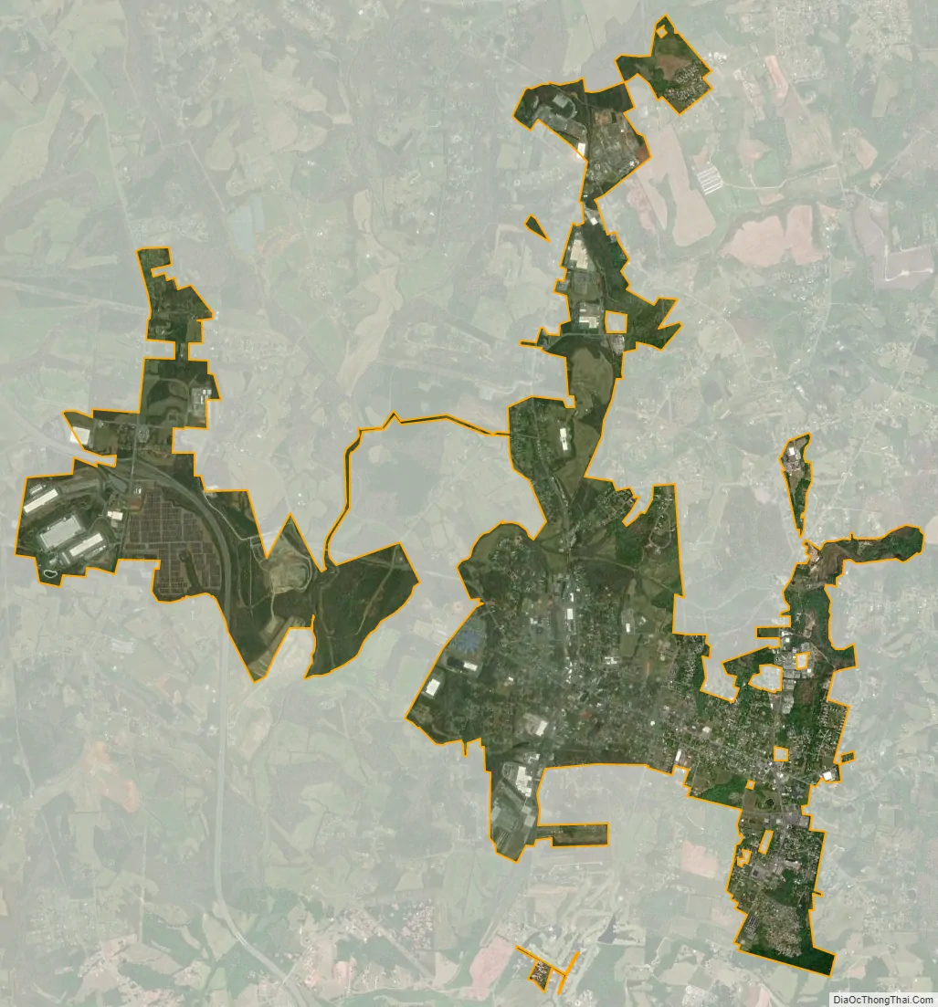
Maiden city Satellite Map
Geography
Maiden is located in southern Catawba County, with a small portion extending south into Lincoln County. U.S. Route 321 Business passes through the center of town as Main Street, while current U.S. Route 321, a four-lane expressway, runs southwest of the town, with access from Exit 33 west of the town and from Exit 28 in Lincoln County. Via US 321 it is 16 miles (26 km) northwest to Hickory and 23 miles (37 km) south to Gastonia.
According to the United States Census Bureau, the town of Maiden has a total area of 5.6 square miles (14.5 km), of which 5.5 square miles (14.3 km) is land and 0.077 square miles (0.2 km), or 1.22%, is water.
See also
Map of North Carolina State and its subdivision:- Alamance
- Alexander
- Alleghany
- Anson
- Ashe
- Avery
- Beaufort
- Bertie
- Bladen
- Brunswick
- Buncombe
- Burke
- Cabarrus
- Caldwell
- Camden
- Carteret
- Caswell
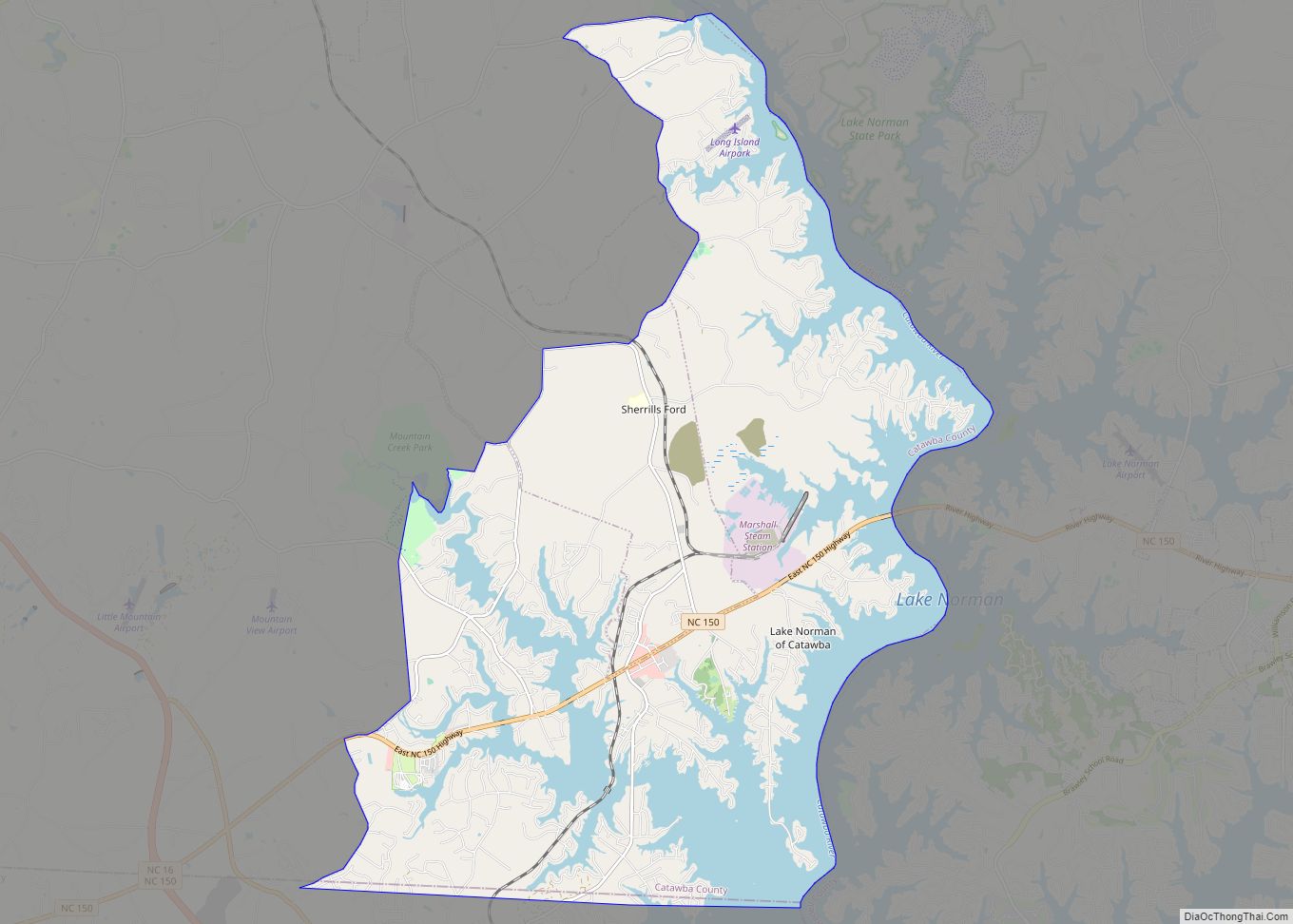
- Catawba
- Chatham
- Cherokee
- Chowan
- Clay
- Cleveland
- Columbus
- Craven
- Cumberland
- Currituck
- Dare
- Davidson
- Davie
- Duplin
- Durham
- Edgecombe
- Forsyth
- Franklin
- Gaston
- Gates
- Graham
- Granville
- Greene
- Guilford
- Halifax
- Harnett
- Haywood
- Henderson
- Hertford
- Hoke
- Hyde
- Iredell
- Jackson
- Johnston
- Jones
- Lee
- Lenoir
- Lincoln
- Macon
- Madison
- Martin
- McDowell
- Mecklenburg
- Mitchell
- Montgomery
- Moore
- Nash
- New Hanover
- Northampton
- Onslow
- Orange
- Pamlico
- Pasquotank
- Pender
- Perquimans
- Person
- Pitt
- Polk
- Randolph
- Richmond
- Robeson
- Rockingham
- Rowan
- Rutherford
- Sampson
- Scotland
- Stanly
- Stokes
- Surry
- Swain
- Transylvania
- Tyrrell
- Union
- Vance
- Wake
- Warren
- Washington
- Watauga
- Wayne
- Wilkes
- Wilson
- Yadkin
- Yancey
- Alabama
- Alaska
- Arizona
- Arkansas
- California
- Colorado
- Connecticut
- Delaware
- District of Columbia
- Florida
- Georgia
- Hawaii
- Idaho
- Illinois
- Indiana
- Iowa
- Kansas
- Kentucky
- Louisiana
- Maine
- Maryland
- Massachusetts
- Michigan
- Minnesota
- Mississippi
- Missouri
- Montana
- Nebraska
- Nevada
- New Hampshire
- New Jersey
- New Mexico
- New York
- North Carolina
- North Dakota
- Ohio
- Oklahoma
- Oregon
- Pennsylvania
- Rhode Island
- South Carolina
- South Dakota
- Tennessee
- Texas
- Utah
- Vermont
- Virginia
- Washington
- West Virginia
- Wisconsin
- Wyoming