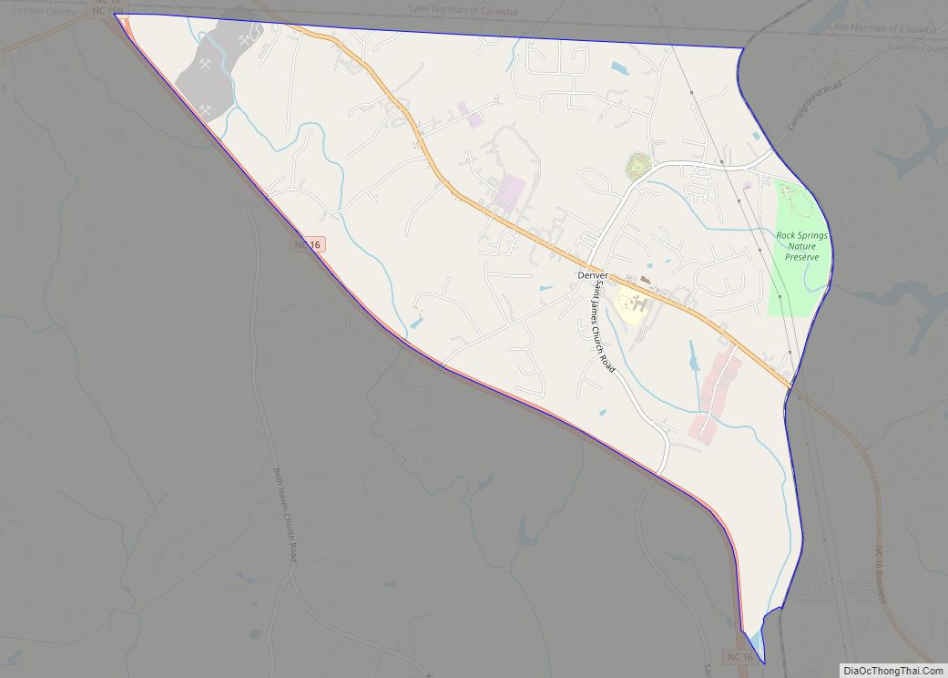
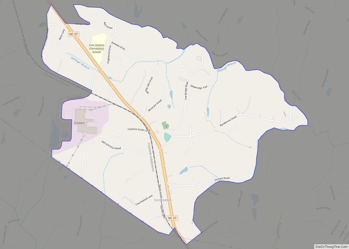
Lincolnton is a city in Lincoln County, North Carolina, United States within the Charlotte metropolitan area. The population was 10,486 at the 2010 census. Lincolnton is northwest of Charlotte, on the South Fork of the Catawba River. The city is the county seat of Lincoln County, and is the only legally incorporated municipality which is wholly within the county.
| Name: | Lincolnton city |
|---|---|
| LSAD Code: | 25 |
| LSAD Description: | city (suffix) |
| State: | North Carolina |
| County: | Lincoln County |
| Elevation: | 833 ft (254 m) |
| Total Area: | 8.75 sq mi (22.66 km²) |
| Land Area: | 8.68 sq mi (22.47 km²) |
| Water Area: | 0.07 sq mi (0.19 km²) |
| Total Population: | 11,091 |
| Population Density: | 1,278.50/sq mi (493.65/km²) |
| ZIP code: | 28092-28093 |
| Area code: | 704 |
| FIPS code: | 3738320 |
| Website: | ci.lincolnton.nc.us |
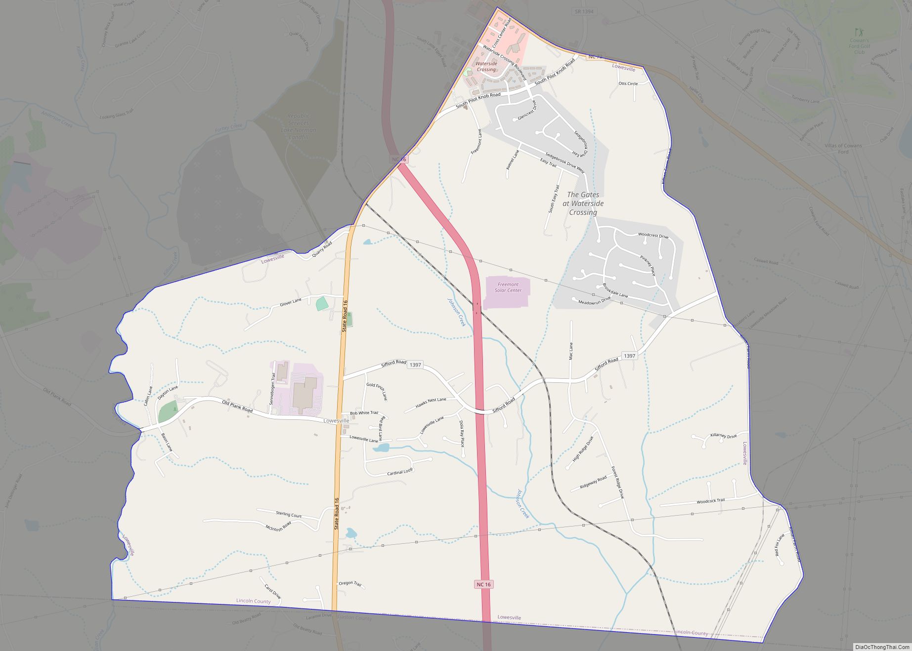
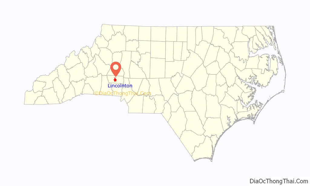
Online Interactive Map
Click on ![]() to view map in "full screen" mode.
to view map in "full screen" mode.
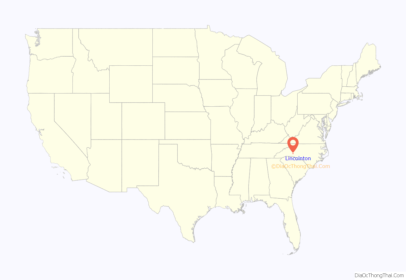
Lincolnton location map. Where is Lincolnton city?
History
This area was long occupied by varying cultures of indigenous peoples. It was not settled extensively by European Americans until after the American Revolution in the late 18th century.
In June 1780 during the American Revolutionary War, the future site of Lincolnton was the site of the Battle of Ramsour’s Mill, a small engagement in which local Loyalists were defeated by pro-independence forces. Some historians consider the battle significant because it disrupted Loyalist organizing in the region at a crucial time.
After the Revolution, the legislature organized a new county by splitting this area from old Tryon County (named in the colonial era for a royally appointed governor). The 1780 battle site was chosen for the seat of Lincoln County. The new city and the county were named for Major General Benjamin Lincoln, who served in the Continental Army during the Revolutionary War.
The Piedmont area was developed for industry, based on using the water power from the streams and rivers there. With the advantage of the South Fork of the Catawba, Lincolnton was the site of the first textile mill in North Carolina, constructed by Michael Schenck in 1813. It was the first cotton mill built south of the Potomac River. Cotton processing became a major industry in the area. St. Luke’s Episcopal Church was founded in 1841.
During the American Civil War, Lincoln County had many residents who either joined or were conscripted to the Confederate Army. Among them was Major General Stephen Dodson Ramseur, who was mortally wounded at the Battle of Cedar Creek in Virginia in the final year of the war. His body was returned to Lincolnton for burial. Episcopal missionary bishop Henry C. Lay spent the final months of the Civil War in the town. Union forces occupied Lincoln County on Easter Monday, 1865, shortly before the close of the war.
As county seat and a center of the textile industry, city residents prospered on the returns from cotton cultivation. The city has numerous properties, including churches, which have been listed on the National Register of Historic Places since the late 20th century. It has three recognized historic districts: Lincolnton Commercial Historic District, South Aspen Street Historic District, and West Main Street Historic District. These were centers of the earliest businesses and retail activities. There was much activity around the Lincoln County Courthouse on court days, when farmers typically came to town to trade and sell their goods.
Residences, churches and other notable buildings marked the development of the city; they include the Caldwell-Cobb-Love House, Emanuel United Church of Christ, Emmanuel Lutheran Church, Eureka Manufacturing Company Cotton Mill, First Baptist Church, First Presbyterian Church, First United Methodist Church, Methodist Church Cemetery, Lincolnton Recreation Department Youth Center, Loretz House, Old White Church Cemetery, Pleasant Retreat Academy, Shadow Lawn, St. Luke’s Church and Cemetery, and Woodside.
In 1986, Lincolnton expanded by annexing the town of Boger City.
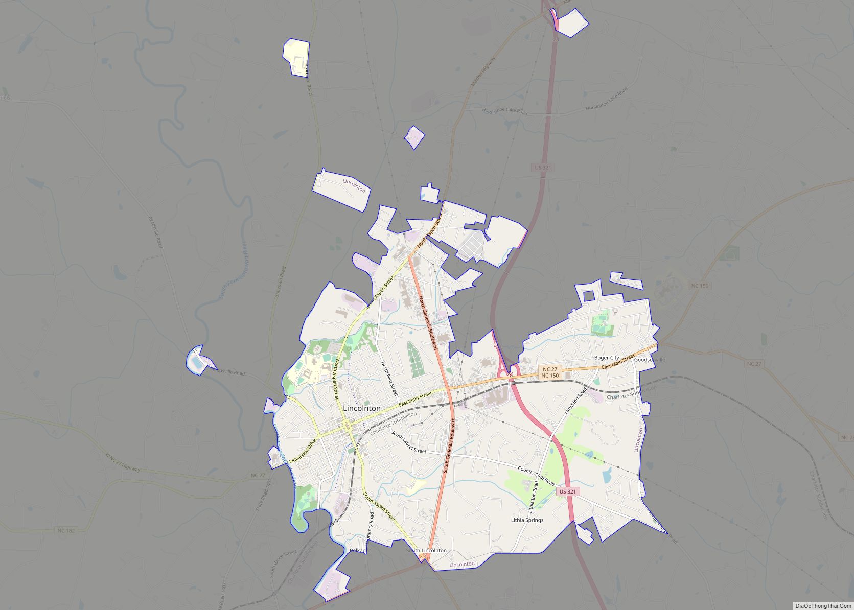
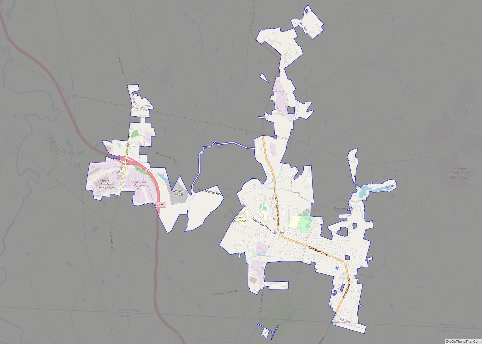
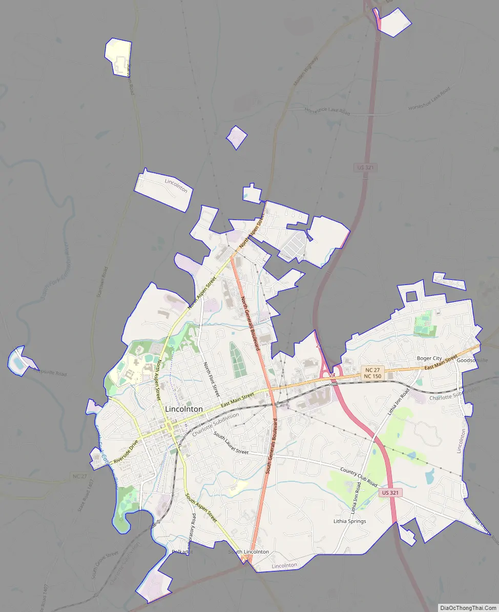
Lincolnton Road Map
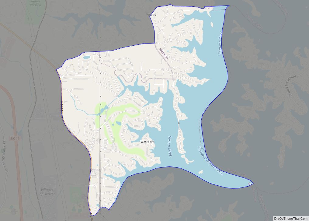
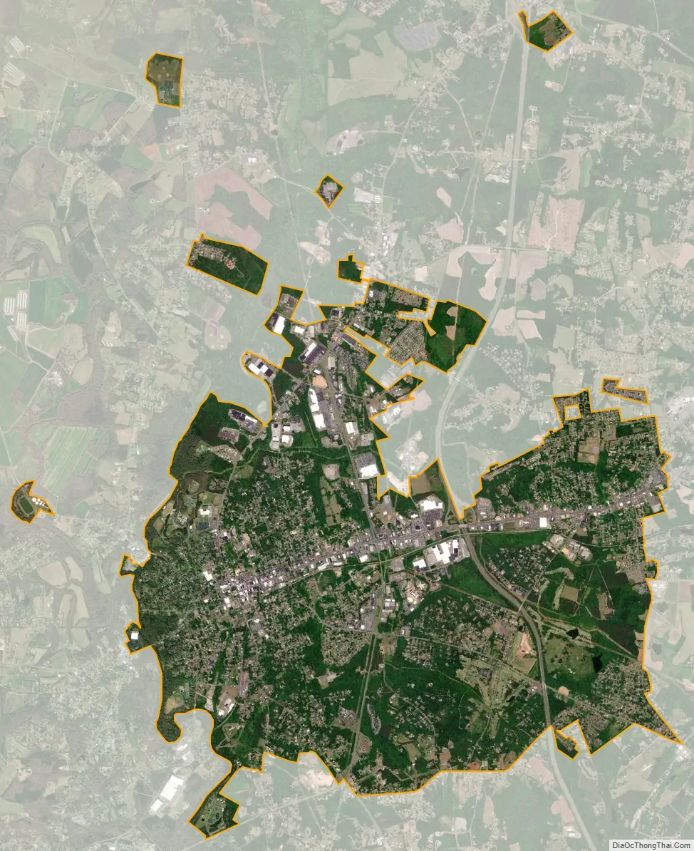
Lincolnton city Satellite Map
Geography
Lincolnton is in central Lincoln County in the Piedmont region of North Carolina. U.S. Route 321, a four-lane freeway, passes through the east side of the city, leading north 20 miles (32 km) to Hickory and south 15 miles (24 km) to Gastonia. North Carolina Highway 27 is Lincolnton’s Main Street and leads southeast 20 miles (32 km) to Mount Holly and west 16 miles (26 km) to Toluca. Charlotte is 37 miles (60 km) southeast of Lincolnton via US 321 and Interstate 85.
According to the United States Census Bureau, the city has a total area of 8.7 square miles (22.6 km), of which 8.6 square miles (22.4 km) are land and 0.1 square miles (0.2 km), or 0.93%, are water. The city is sited on the northeastern side of the South Fork of the Catawba River, which flows southeast to join the Catawba River at the South Carolina border. Clark Creek joins the South Fork in the northwestern part of the city.
See also
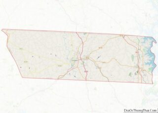
Map of North Carolina State and its subdivision:- Alamance
- Alexander
- Alleghany
- Anson
- Ashe
- Avery
- Beaufort
- Bertie
- Bladen
- Brunswick
- Buncombe
- Burke
- Cabarrus
- Caldwell
- Camden
- Carteret
- Caswell
- Catawba
- Chatham
- Cherokee
- Chowan
- Clay
- Cleveland
- Columbus
- Craven
- Cumberland
- Currituck
- Dare
- Davidson
- Davie
- Duplin
- Durham
- Edgecombe
- Forsyth
- Franklin
- Gaston
- Gates
- Graham
- Granville
- Greene
- Guilford
- Halifax
- Harnett
- Haywood
- Henderson
- Hertford
- Hoke
- Hyde
- Iredell
- Jackson
- Johnston
- Jones
- Lee
- Lenoir
- Lincoln
- Macon
- Madison
- Martin
- McDowell
- Mecklenburg
- Mitchell
- Montgomery
- Moore
- Nash
- New Hanover
- Northampton
- Onslow
- Orange
- Pamlico
- Pasquotank
- Pender
- Perquimans
- Person
- Pitt
- Polk
- Randolph
- Richmond
- Robeson
- Rockingham
- Rowan
- Rutherford
- Sampson
- Scotland
- Stanly
- Stokes
- Surry
- Swain
- Transylvania
- Tyrrell
- Union
- Vance
- Wake
- Warren
- Washington
- Watauga
- Wayne
- Wilkes
- Wilson
- Yadkin
- Yancey
- Alabama
- Alaska
- Arizona
- Arkansas
- California
- Colorado
- Connecticut
- Delaware
- District of Columbia
- Florida
- Georgia
- Hawaii
- Idaho
- Illinois
- Indiana
- Iowa
- Kansas
- Kentucky
- Louisiana
- Maine
- Maryland
- Massachusetts
- Michigan
- Minnesota
- Mississippi
- Missouri
- Montana
- Nebraska
- Nevada
- New Hampshire
- New Jersey
- New Mexico
- New York
- North Carolina
- North Dakota
- Ohio
- Oklahoma
- Oregon
- Pennsylvania
- Rhode Island
- South Carolina
- South Dakota
- Tennessee
- Texas
- Utah
- Vermont
- Virginia
- Washington
- West Virginia
- Wisconsin
- Wyoming