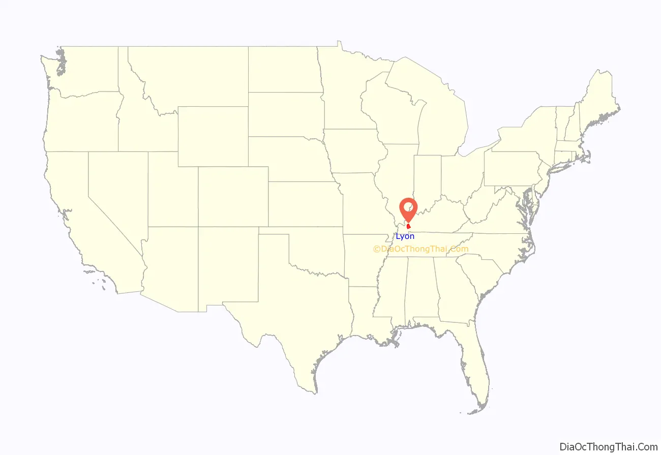
Lyon County is a county located in the U.S. state of Kentucky. As of the 2020 census, the population was 8,680. Its county seat is Eddyville. The county was formed from Caldwell County, Kentucky in 1854 and named for former Congressman Chittenden Lyon.
| Name: | Lyon County |
|---|---|
| FIPS code: | 21-143 |
| State: | Kentucky |
| Founded: | 1854 |
| Named for: | Chittenden Lyon |
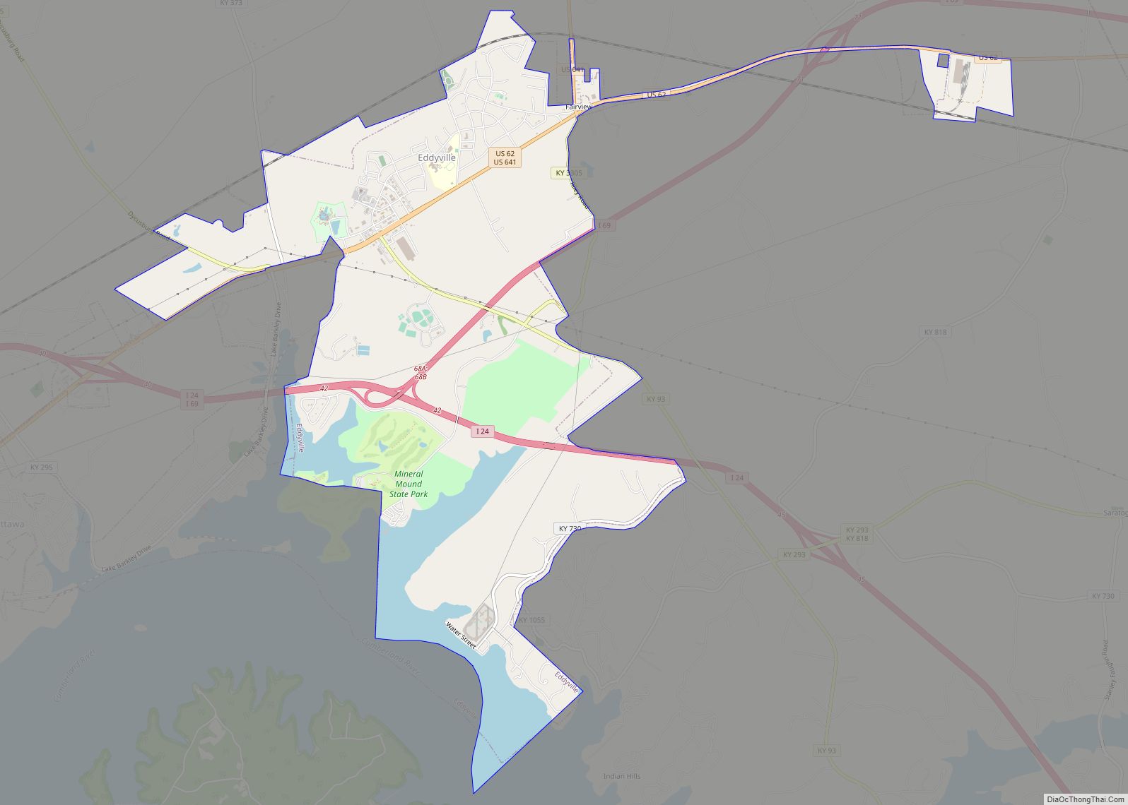
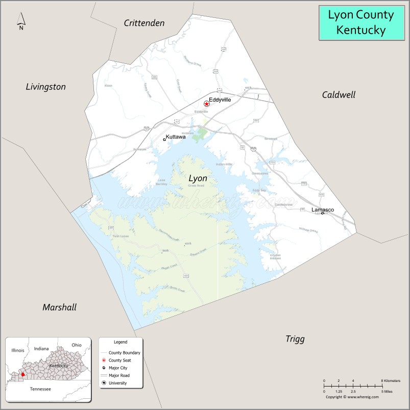
| Seat: | Eddyville |
| Largest city: | Eddyville |
| Total Area: | 257 sq mi (670 km²) |
| Land Area: | 214 sq mi (550 km²) |
| Total Population: | 8,680 |
| Population Density: | 34/sq mi (13/km²) |
| Time zone: | UTC−6 (Central) |
| Summer Time Zone (DST): | UTC−5 (CDT) |
| Website: | www.lyoncountyky.com |
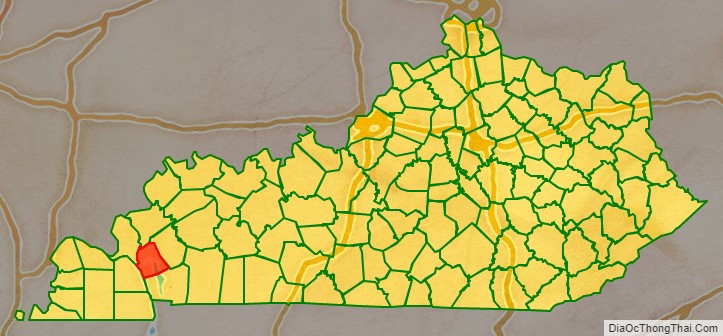
Lyon County location map. Where is Lyon County?
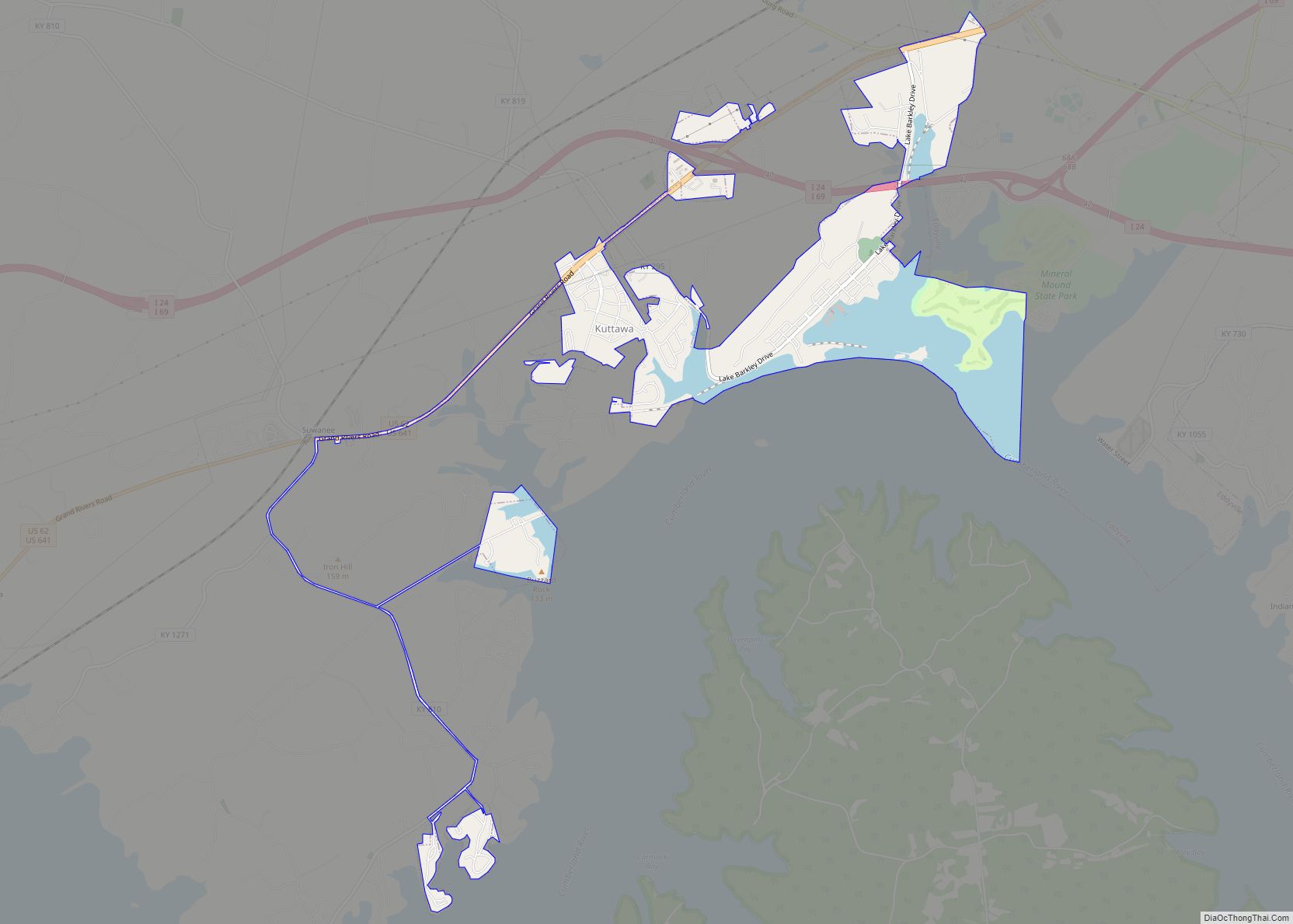
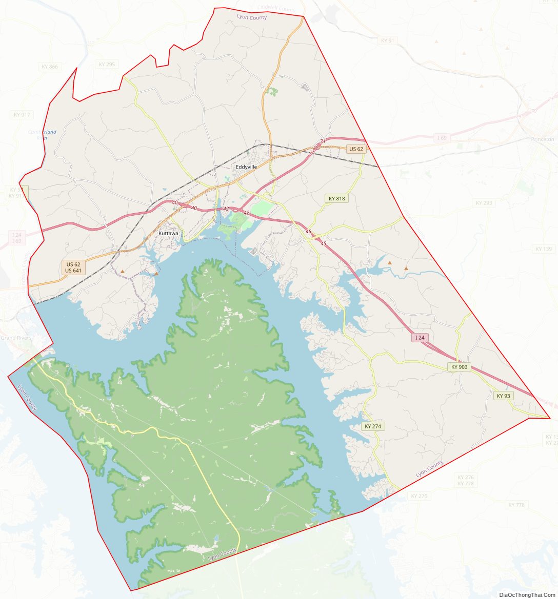
Lyon County Road Map
Geography
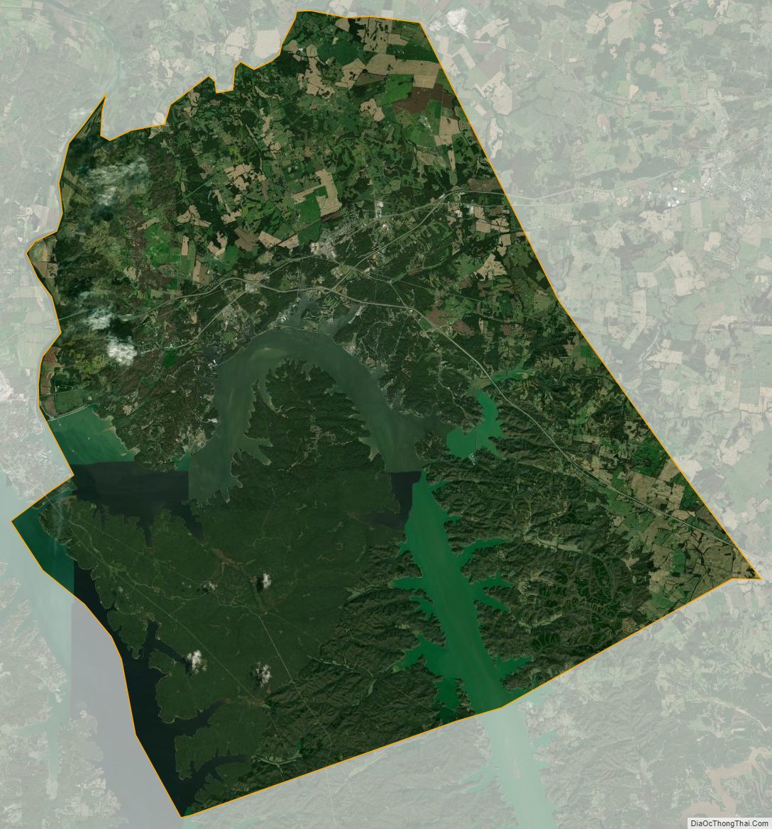
According to the U.S. Census Bureau, the county has a total area of 257 square miles (670 km), of which 214 square miles (550 km) is land and 43 square miles (110 km) (17%) is water.
Adjacent counties
- Crittenden County (north)
- Caldwell County (east)
- Trigg County (south)
- Marshall County (southwest)
- Livingston County (northwest)
National protected area
- Land Between the Lakes National Recreation Area (part)
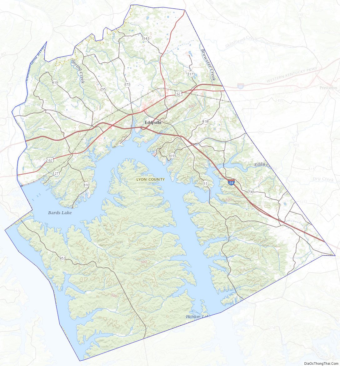
Lyon County Topographic Map
Lyon County Satellite Map
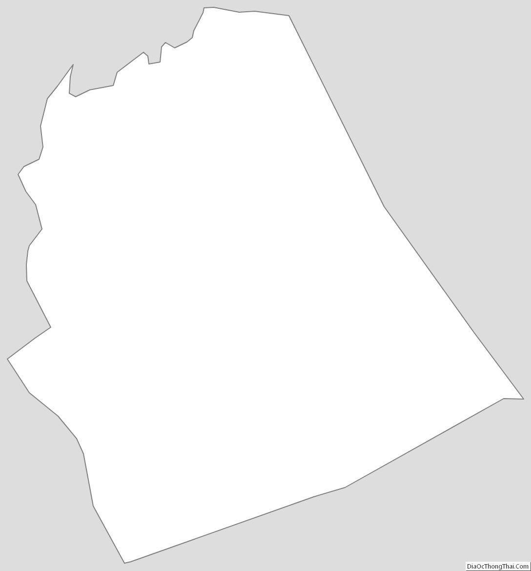
Lyon County Outline Map