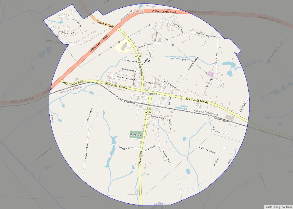
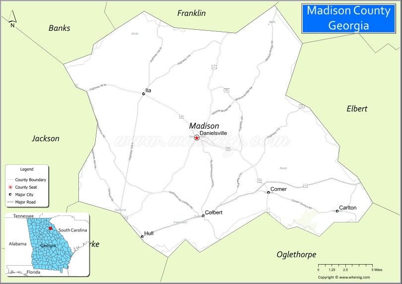
Madison County is a county located in the northeastern part of the U.S. state of Georgia. As of the 2020 census, the population was 30,120. The county seat is Danielsville. The county was created on December 5, 1811. The county’s largest city is Comer with a population of 1,200.
Madison County was included in the Athens-Clarke County, GA Metropolitan Statistical Area, which is included in the Atlanta-Athens-Clarke County-Sandy Springs, GA Combined Statistical Area.
| Name: | Madison County |
|---|---|
| FIPS code: | 13-195 |
| State: | Georgia |
| Founded: | December 5, 1811 |
| Named for: | James Madison |
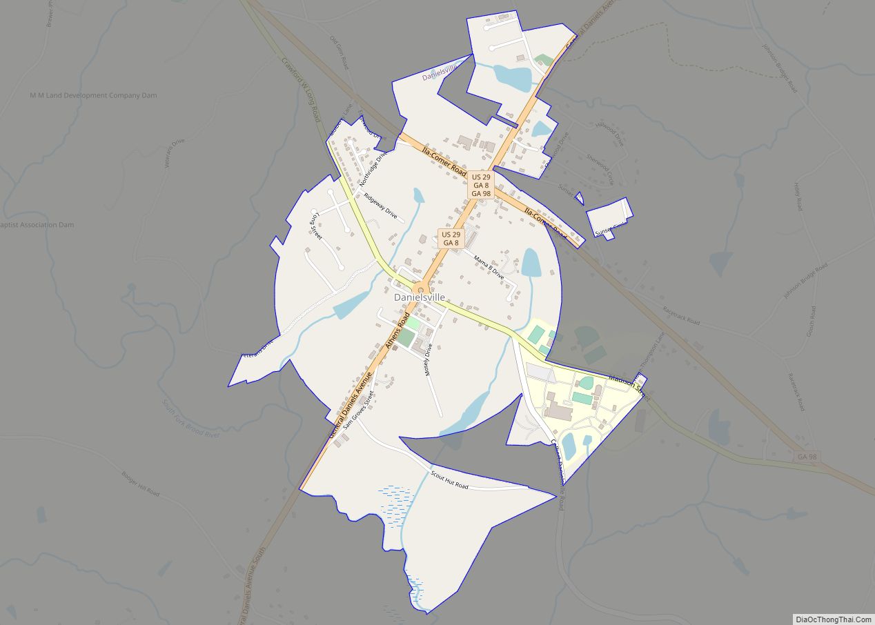
| Seat: | Danielsville |
| Largest city: | Comer |
| Total Area: | 286 sq mi (740 km²) |
| Land Area: | 282 sq mi (730 km²) |
| Total Population: | 30,120 |
| Population Density: | 107/sq mi (41/km²) |
| Time zone: | UTC−5 (Eastern) |
| Summer Time Zone (DST): | UTC−4 (EDT) |
| Website: | www.madisoncountyga.us |
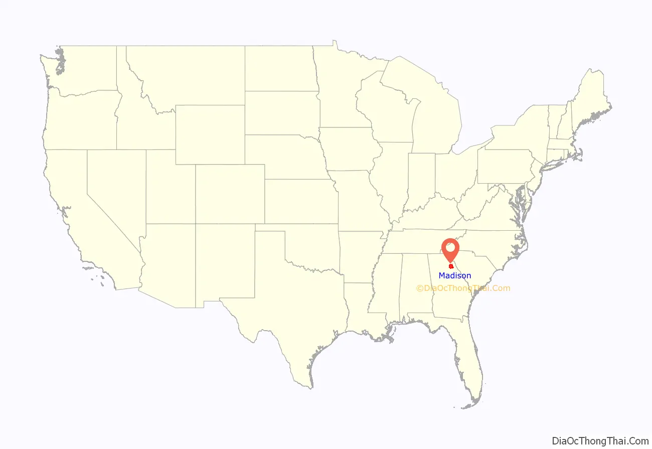
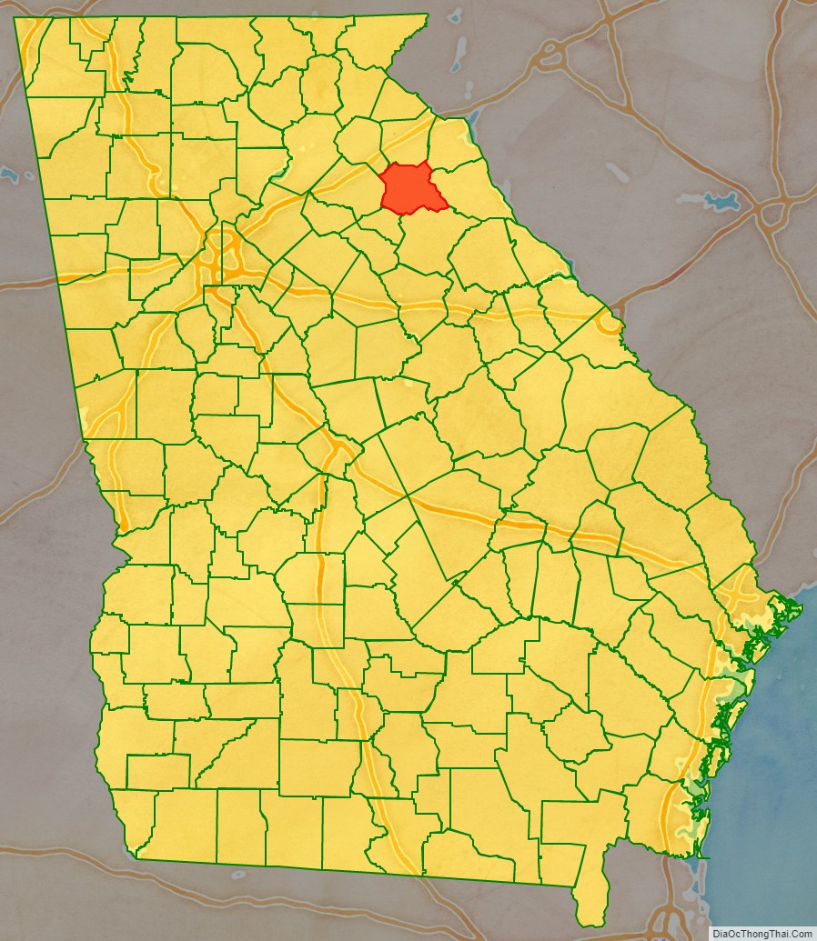
Madison County location map. Where is Madison County?
History
Madison County was organized by an act of the General Assembly of Georgia on December 11, 1811. It was named for James Madison, who served as the fourth president of the United States from 1809 to 1817. It was the 38th county formed in Georgia, and began to function as a county in 1812. Madison County was formed from the counties of Clarke, Elbert, Franklin, Jackson, Oglethorpe.
Early agriculture in Madison County was devoted to food crops and livestock (cattle, hogs, and sheep), which were sufficient to feed the population. Just after the Civil War ended, the demand for a cash crop led to major reliance on cotton. The soils of Madison County were heavily damaged by this cotton monoculture. From the 1930s on, agriculture became more diverse. Today, agribusiness dominates the local economy, with poultry production particularly important.
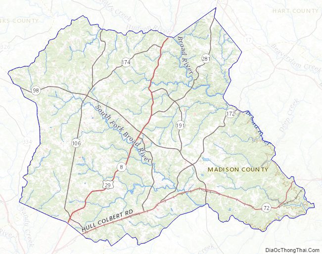
Madison and Oglethorpe counties share Watson Mill Bridge State Park, the site of the longest covered bridge in Georgia. The bridge, which is over 100 years old, spans 229 feet of the South Fork of the Broad River. There are also facilities for camping, hiking trails, picnicking, and fishing in the park.
The Madison County Courthouse, one of the most ornate in Georgia, was built in 1901 for the sum of $18,314. It is listed on the National Register of Historic Places. New Hope Presbyterian Church, established in 1788, is the third oldest church in Georgia.
Lt. Col. Lemuel Penn, a decorated veteran of World War II and a United States Army Reserve officer, was murdered by members of the Ku Klux Klan on July 11, 1964, nine days after passage of the Civil Rights Act, on a Broad River bridge on the Georgia State Route 172 in Madison County.
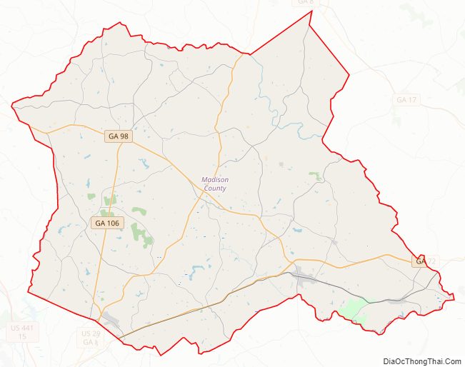
Madison County Road Map
Geography
According to the U.S. Census Bureau, the county has a total area of 286 square miles (740 km), of which 282 square miles (730 km) is land and 3.3 square miles (8.5 km) (1.1%) is water.
The vast majority of Madison County is located in the Broad River sub-basin of the Savannah River basin, with just a very small portion of the county’s western edge located in the Upper Oconee River sub-basin of the Altamaha River basin.
Adjacent counties
- Franklin County, Georgia – north
- Hart County, Georgia – northeast
- Elbert County, Georgia – east
- Oglethorpe County, Georgia – south
- Clarke County, Georgia – southwest
- Jackson County, Georgia – west
- Banks County, Georgia – northwest
Major highways
- U.S. Route 29
- State Route 8
- State Route 22
- State Route 72 Business
- State Route 72 Bypass
- State Route 72 Spur
- State Route 98
- State Route 106
- State Route 172
- State Route 174
- State Route 191
- State Route 281
Madison County Topographic Map
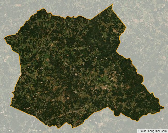
Madison County Satellite Map
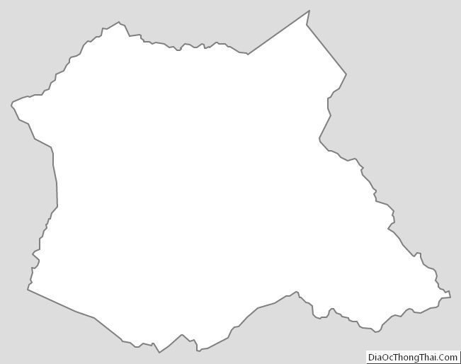
Madison County Outline Map