Comer is a city in Madison County, Georgia, United States. It had a population of 1,512 as of the 2020 census, up from 1,126 in 2010. Comer is the largest city in Madison County based on population and total land area. The city is included in the Athens-Clarke County Metropolitan Statistical Area, part of the Atlanta-Athens-Clarke County-Sandy Springs Combined Statistical Area.
| Name: | Comer city |
|---|---|
| LSAD Code: | 25 |
| LSAD Description: | city (suffix) |
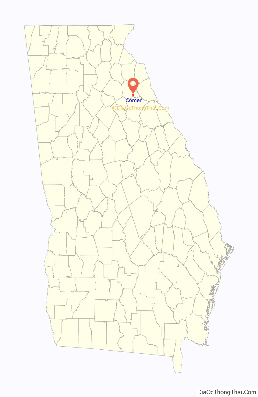
| State: | Georgia |
| County: | Madison County |
| Elevation: | 702 ft (214 m) |
| Total Area: | 3.26 sq mi (8.45 km²) |
| Land Area: | 3.24 sq mi (8.39 km²) |
| Water Area: | 0.03 sq mi (0.07 km²) |
| Total Population: | 1,512 |
| Population Density: | 466.95/sq mi (180.32/km²) |
| ZIP code: | 30629 |
| Area code: | 706 |
| FIPS code: | 1319084 |
| GNISfeature ID: | 0312868 |
| Website: | www.cityofcomer.com |
Online Interactive Map
Click on ![]() to view map in "full screen" mode.
to view map in "full screen" mode.
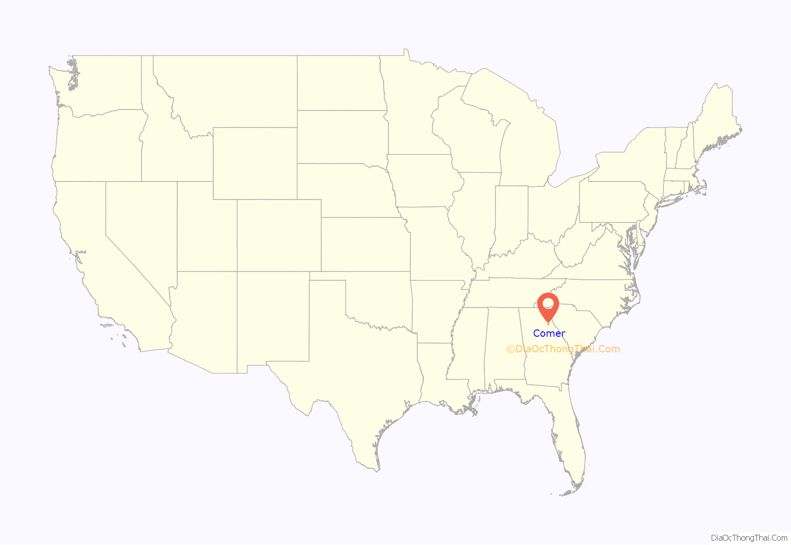
Comer location map. Where is Comer city?
History
The present city of Comer was incorporated by an act of the Georgia Legislature on January 1, 1893. The community was named after A. J. Comer, a pioneer citizen.
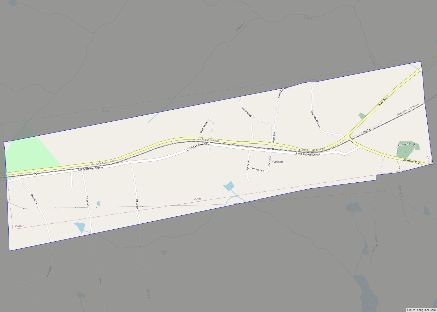
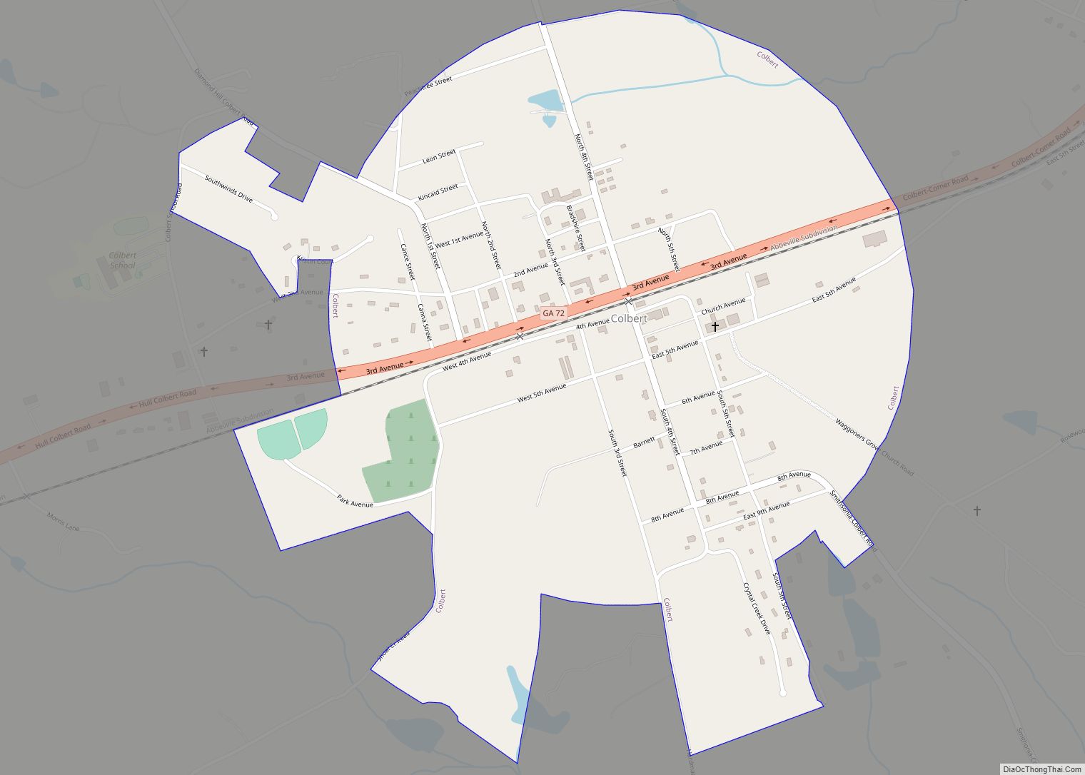
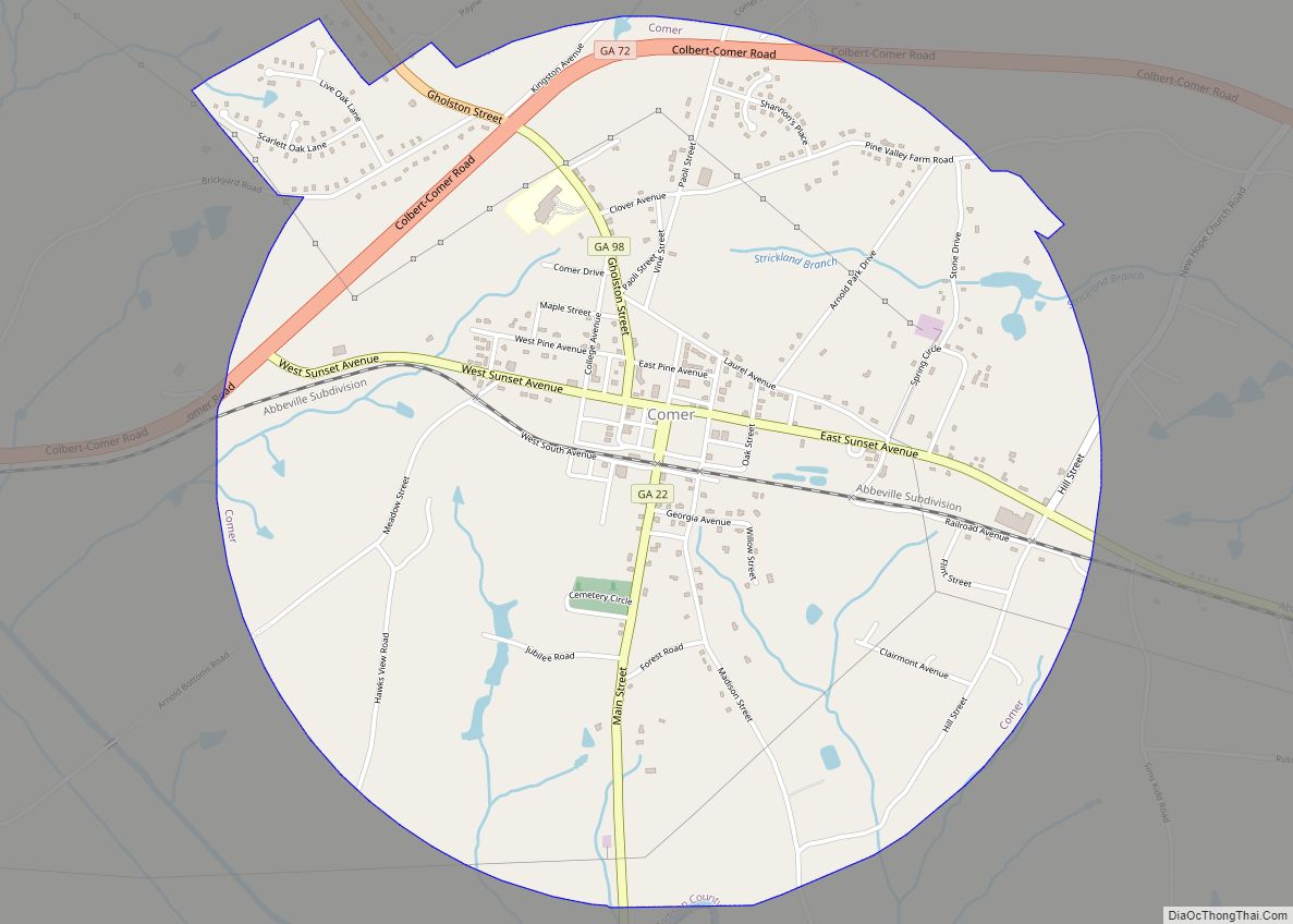
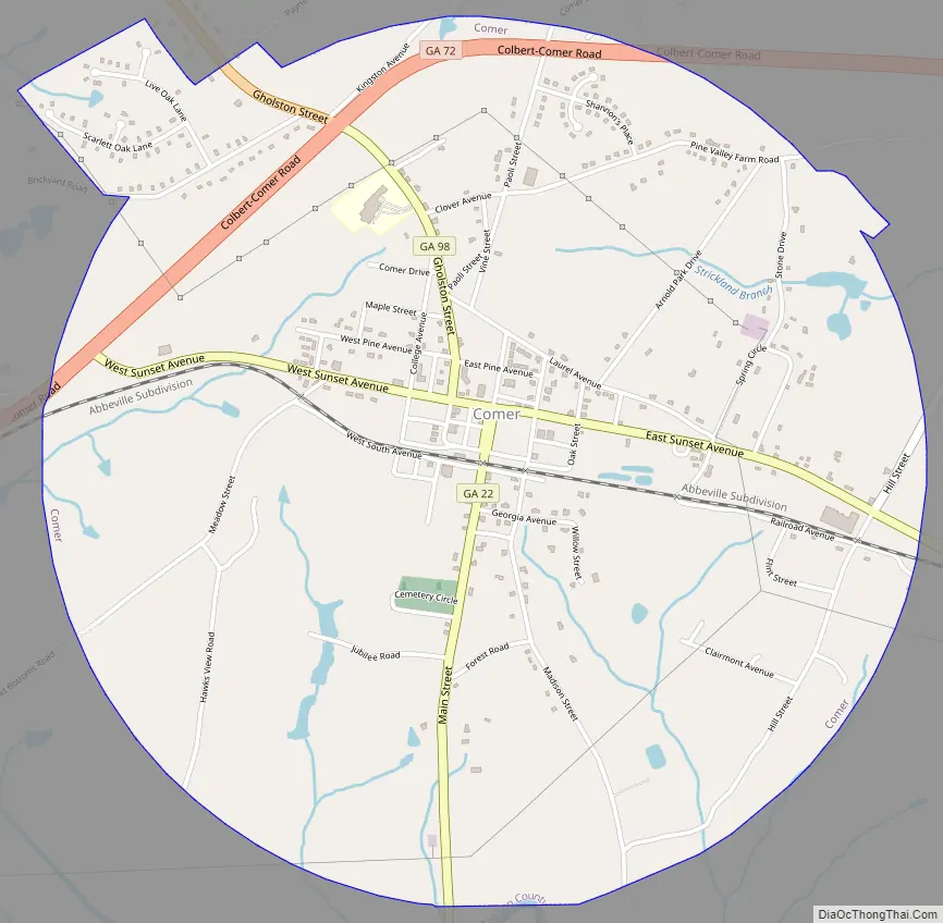
Comer Road Map
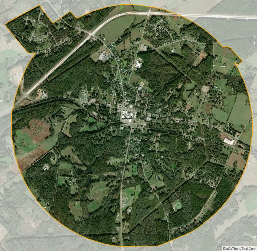
Comer city Satellite Map
Geography
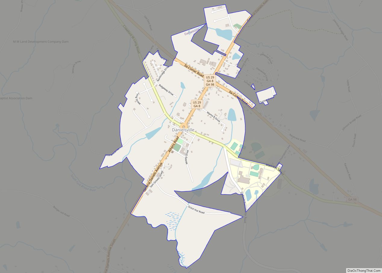
Comer is located in southeastern Madison County at 34°03′47″N 83°07′30″W / 34.062921°N 83.124952°W / 34.062921; -83.124952. It is concentrated around the intersection of Georgia State Routes 72, 98, and 22. Athens is 18 miles (29 km) to the southwest; Danielsville, the Madison county seat, is 8 miles (13 km) to the northwest; Elberton is 18 miles (29 km) to the east; and Lexington is 14 miles (23 km) to the south. Comer is located in the Broad River sub-basin of the Savannah River basin. Watson Mill Bridge State Park lies just to the southeast.
According to the United States Census Bureau, the city has a total area of 3.3 square miles (8.5 km), of which 0.03 square miles (0.08 km), or 0.80%, are water.
Neighborhoods
- Downtown
- Jubilee
- Clairmont
- Brickyard
- Royal Oaks
- Shannons Place
- Village Station
- Arnold Park
- Spring Stone
- Hill Street
- Madison Street
- Clover Ave
- College Ave
- Laurel Ave
- Hawks View
Major highways
- State Route 22
- State Route 72 Business
- State Route 72 Bypass
- State Route 72 Spur
- State Route 98
See also
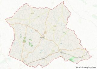
Map of Georgia State and its subdivision:- Appling
- Atkinson
- Bacon
- Baker
- Baldwin
- Banks
- Barrow
- Bartow
- Ben Hill
- Berrien
- Bibb
- Bleckley
- Brantley
- Brooks
- Bryan
- Bulloch
- Burke
- Butts
- Calhoun
- Camden
- Candler
- Carroll
- Catoosa
- Charlton
- Chatham
- Chattahoochee
- Chattooga
- Cherokee
- Clarke
- Clay
- Clayton
- Clinch
- Cobb
- Coffee
- Colquitt
- Columbia
- Cook
- Coweta
- Crawford
- Crisp
- Dade
- Dawson
- Decatur
- DeKalb
- Dodge
- Dooly
- Dougherty
- Douglas
- Early
- Echols
- Effingham
- Elbert
- Emanuel
- Evans
- Fannin
- Fayette
- Floyd
- Forsyth
- Franklin
- Fulton
- Gilmer
- Glascock
- Glynn
- Gordon
- Grady
- Greene
- Gwinnett
- Habersham
- Hall
- Hancock
- Haralson
- Harris
- Hart
- Heard
- Henry
- Houston
- Irwin
- Jackson
- Jasper
- Jeff Davis
- Jefferson
- Jenkins
- Johnson
- Jones
- Lamar
- Lanier
- Laurens
- Lee
- Liberty
- Lincoln
- Long
- Lowndes
- Lumpkin
- Macon
- Madison
- Marion
- McDuffie
- McIntosh
- Meriwether
- Miller
- Mitchell
- Monroe
- Montgomery
- Morgan
- Murray
- Muscogee
- Newton
- Oconee
- Oglethorpe
- Paulding
- Peach
- Pickens
- Pierce
- Pike
- Polk
- Pulaski
- Putnam
- Quitman
- Rabun
- Randolph
- Richmond
- Rockdale
- Schley
- Screven
- Seminole
- Spalding
- Stephens
- Stewart
- Sumter
- Talbot
- Taliaferro
- Tattnall
- Taylor
- Telfair
- Terrell
- Thomas
- Tift
- Toombs
- Towns
- Treutlen
- Troup
- Turner
- Twiggs
- Union
- Upson
- Walker
- Walton
- Ware
- Warren
- Washington
- Wayne
- Webster
- Wheeler
- White
- Whitfield
- Wilcox
- Wilkes
- Wilkinson
- Worth
- Alabama
- Alaska
- Arizona
- Arkansas
- California
- Colorado
- Connecticut
- Delaware
- District of Columbia
- Florida
- Georgia
- Hawaii
- Idaho
- Illinois
- Indiana
- Iowa
- Kansas
- Kentucky
- Louisiana
- Maine
- Maryland
- Massachusetts
- Michigan
- Minnesota
- Mississippi
- Missouri
- Montana
- Nebraska
- Nevada
- New Hampshire
- New Jersey
- New Mexico
- New York
- North Carolina
- North Dakota
- Ohio
- Oklahoma
- Oregon
- Pennsylvania
- Rhode Island
- South Carolina
- South Dakota
- Tennessee
- Texas
- Utah
- Vermont
- Virginia
- Washington
- West Virginia
- Wisconsin
- Wyoming