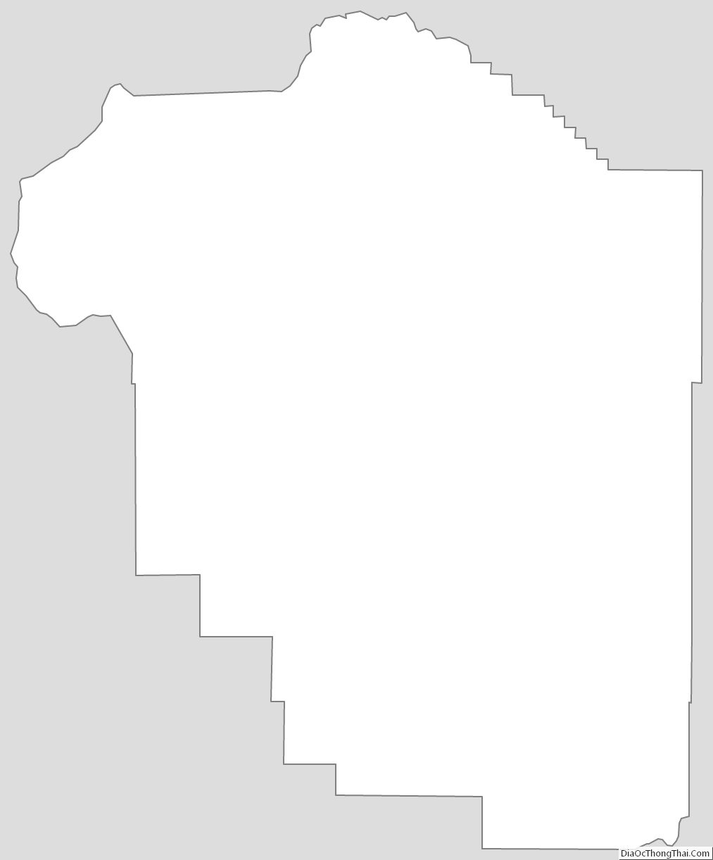
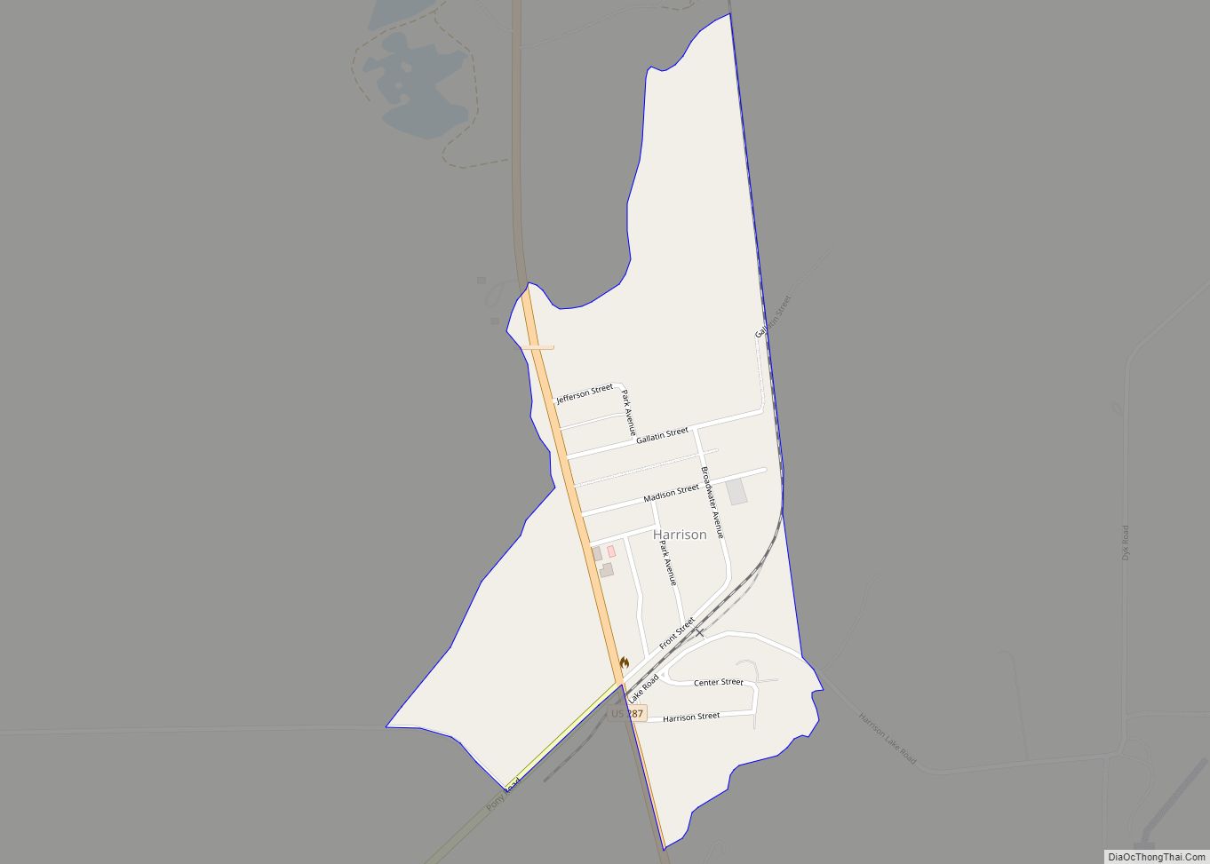
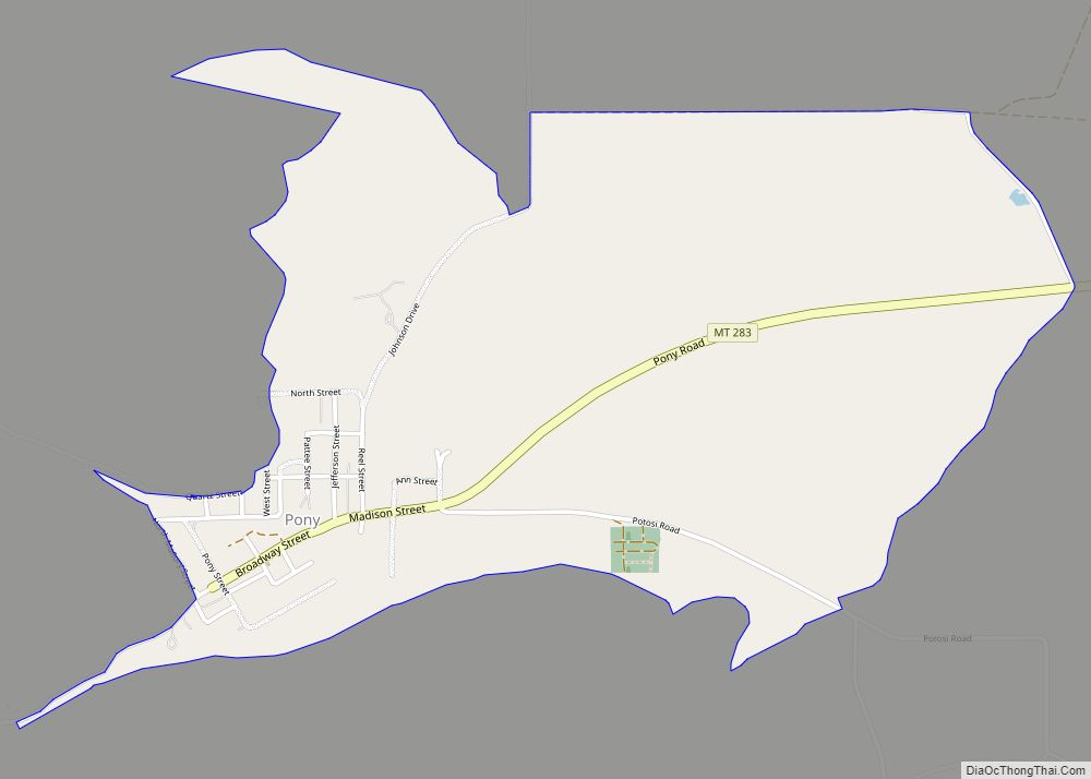
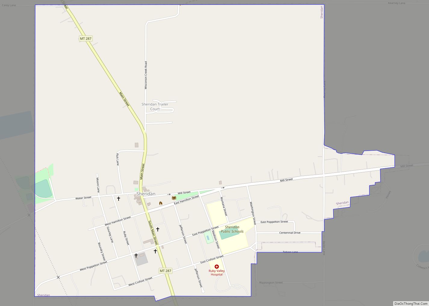
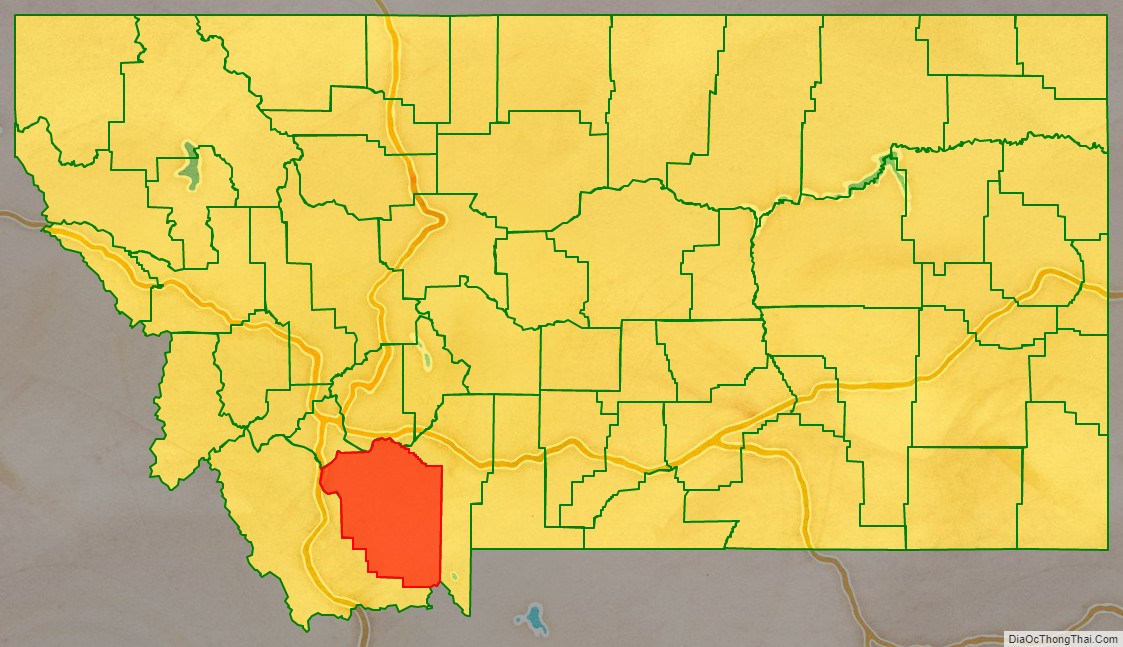
Madison County is a county in the U.S. state of Montana. As of the 2020 census, the population was 8,623. Its county seat is Virginia City. The county was founded in 1865; at the time it was part of the Montana Territory.
| Name: | Madison County |
|---|---|
| FIPS code: | 30-057 |
| State: | Montana |
| Founded: | 1865 |
| Named for: | James Madison |
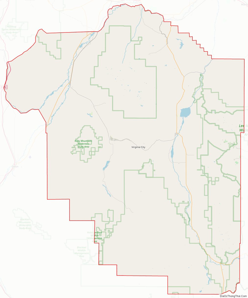
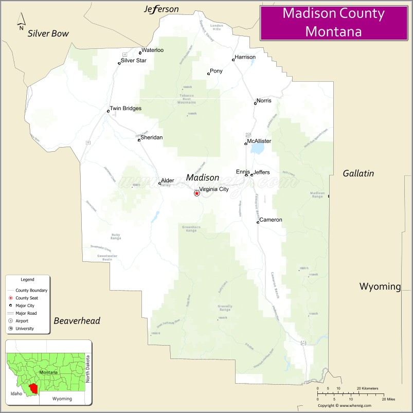
| Seat: | Virginia City |
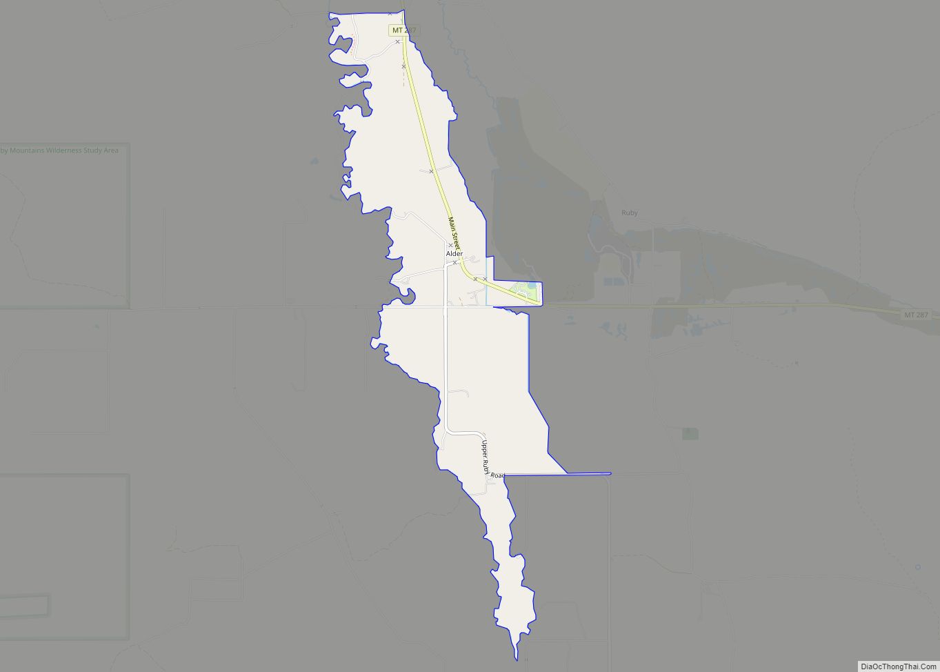
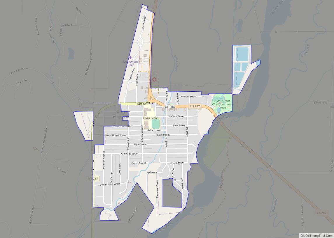
| Largest town: | Ennis |
| Total Area: | 3,603 sq mi (9,330 km²) |
| Land Area: | 3,587 sq mi (9,290 km²) |
| Total Population: | 8,623 |
| Population Density: | 2.4/sq mi (0.92/km²) |
| Time zone: | UTC−7 (Mountain) |
| Summer Time Zone (DST): | UTC−6 (MDT) |
| Website: | www.madison.mt.gov |
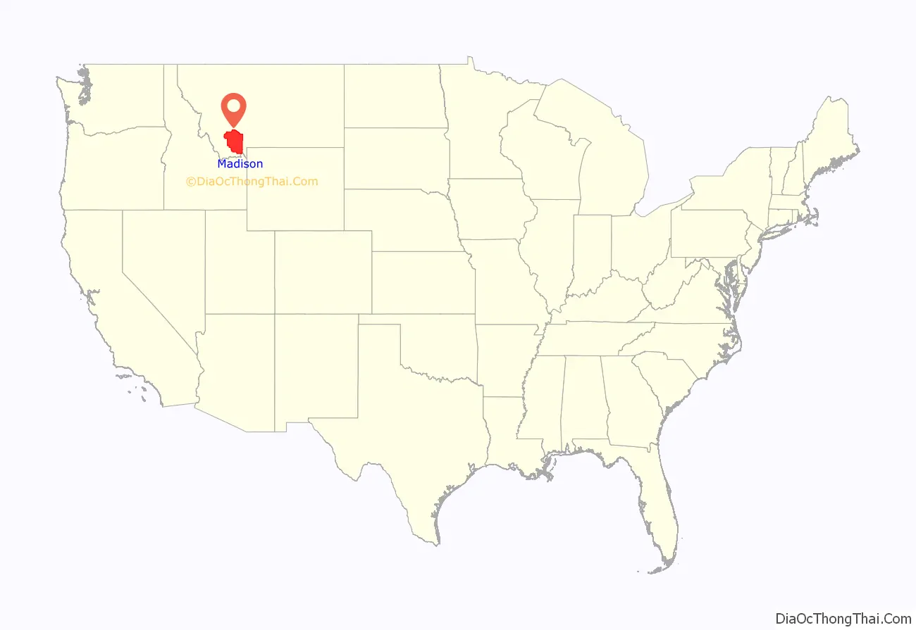
Madison County location map. Where is Madison County?
Madison County Road Map
Geography
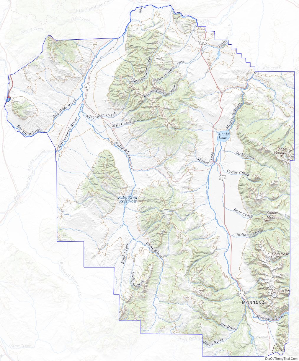
According to the United States Census Bureau, the county has an area of 3,603 square miles (9,330 km), of which 3,587 square miles (9,290 km) is land and 15 square miles (39 km) (0.4%) is water.
Major highways
- Interstate 15
- Former U.S. Highway 91
- U.S. Highway 287
- Montana Highway 41
- Montana Highway 84
- Montana Highway 87
- Montana Highway 55
- Montana Highway 287
Adjacent counties
- Beaverhead County – southwest
- Silver Bow County – northwest
- Jefferson County – north
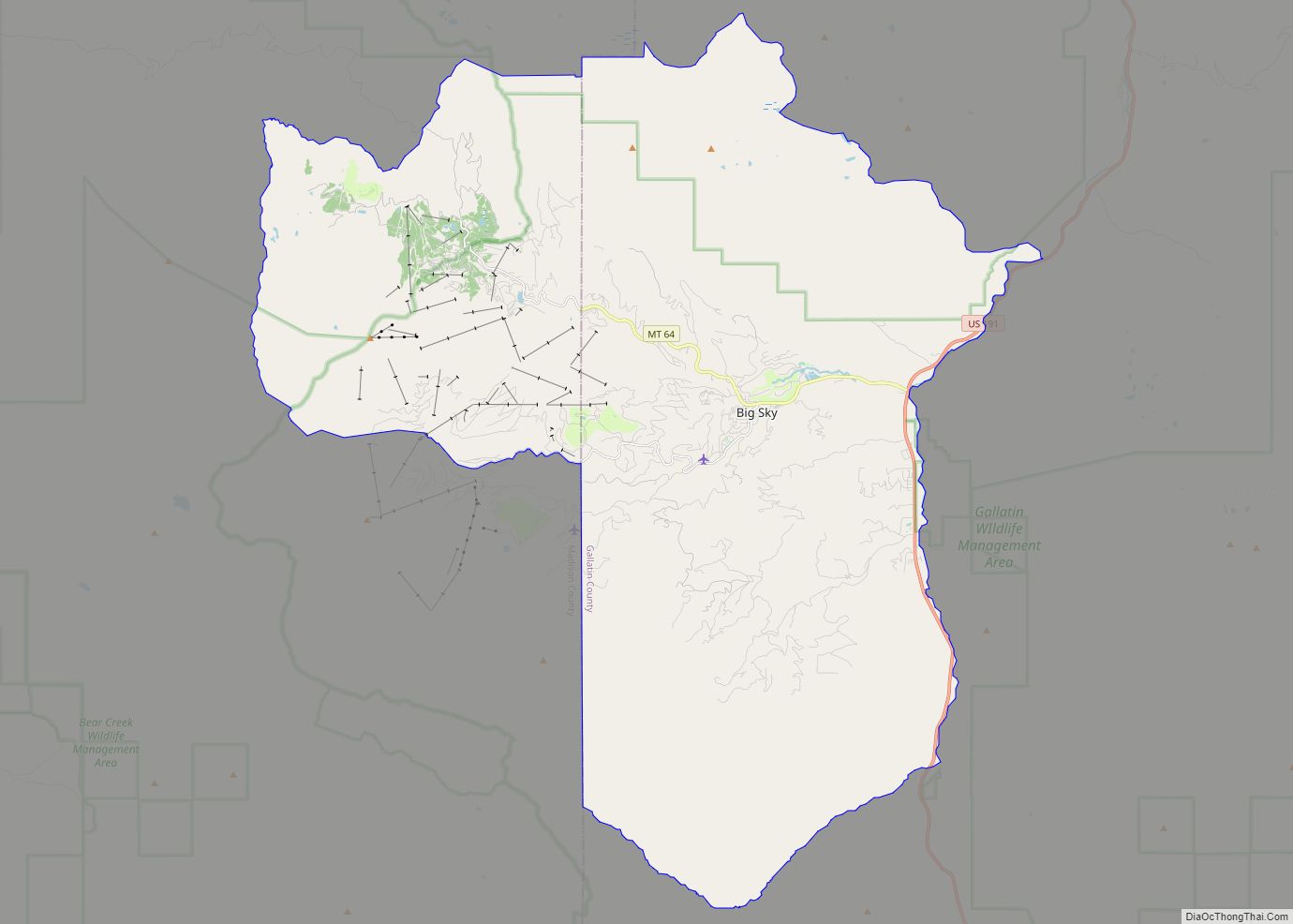
- Gallatin County – east
- Fremont County, Idaho – south
National protected areas
- Beaverhead National Forest (part)
- Deerlodge National Forest (part)
- Gallatin National Forest (part)
Madison County Topographic Map
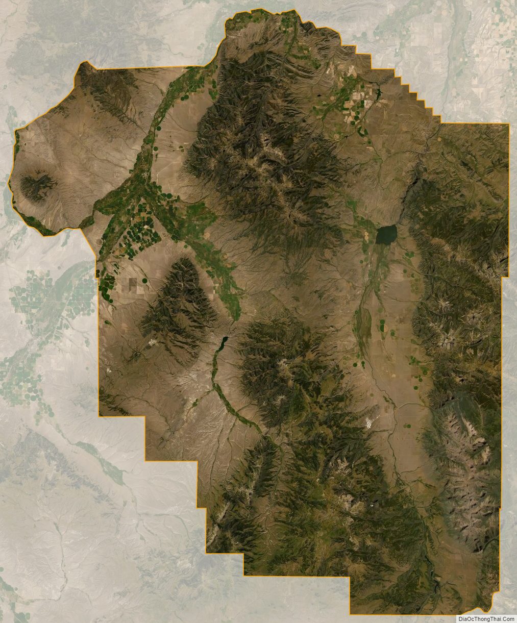
Madison County Satellite Map
Madison County Outline Map