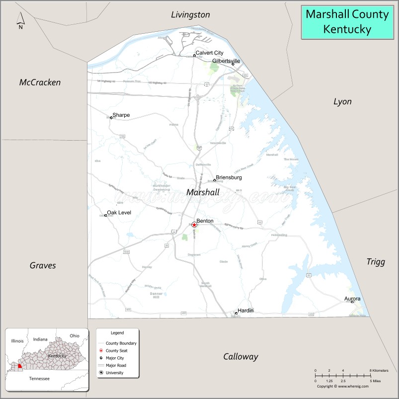
Marshall County is a county located in far western portion of the U.S. state of Kentucky. As of the 2020 census, the population was 31,659. Its county seat is Benton.
It is the only Purchase Area county that does not border another state; a narrow strip of land in neighboring Livingston County separates Marshall County from the Ohio River and the Illinois border. Until July 28, 2015, it was a dry county. On that date residents approved alcohol sales for off-premises consumption, making it a “wet” county.
| Name: | Marshall County |
|---|---|
| FIPS code: | 21-157 |
| State: | Kentucky |
| Founded: | 1842 |
| Named for: | John Marshall |
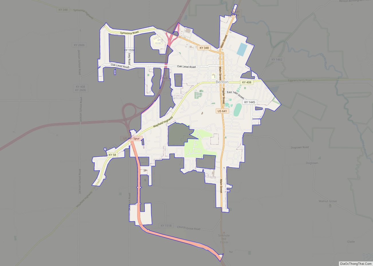
| Seat: | Benton |
| Largest city: | Benton |
| Total Area: | 340 sq mi (900 km²) |
| Land Area: | 301 sq mi (780 km²) |
| Total Population: | 31,659 |
| Population Density: | 93/sq mi (36/km²) |
| Time zone: | UTC−6 (Central) |
| Summer Time Zone (DST): | UTC−5 (CDT) |
| Website: | www.marshallcountyky.gov |
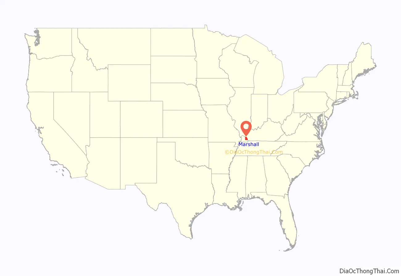
Marshall County location map. Where is Marshall County?
History
Following population increase in the area, Marshall County was created by the Kentucky legislature in 1842 from the northern half of Calloway County. The first European-American settlers had arrived in about 1818, shortly after the area was bought from the Chickasaw Indians as part of the Jackson Purchase by Gen. Andrew Jackson and Kentucky Gov. Isaac Shelby. The Chickasaw were forced under Indian Removal to move to what became known as Indian Territory, new and much less fertile lands west of the Mississippi River.
Marshall County was named in honor of Chief Justice John Marshall of the United States Supreme Court, who had died in 1835.
Like most of the Jackson Purchase, and reflecting its geographic and family connections to the South, during the American Civil War, Marshall County was strongly pro-Confederate, although the state was neutral. Many local men served in the famous Kentucky Orphan Brigade. On March 23, 1864, detachments of Gen. Nathan Bedford Forrest’s Confederate cavalry clashed with Union cavalry near Benton, when each side was scouring the countryside for needed cavalry remounts. A state historical marker stands at the site.
From its settlement until the 1930s, Marshall County was developed primarily for agriculture. In the 1940s, however, the Tennessee Valley Authority created Kentucky Lake as part of its flood control and rural electrification projects initiated by President Franklin D. Roosevelt. The lake established tourism as part of the county’s economy, and lakeshore resorts were developed to exploit sports fishing.
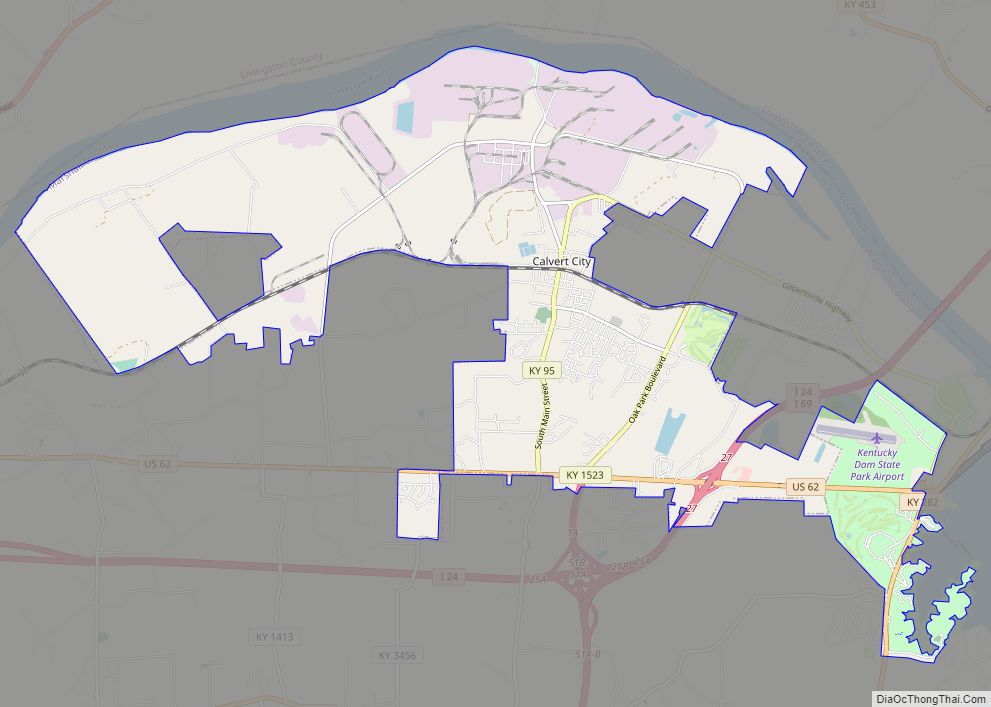
Kentucky Dam’s cheap and plentiful electricity also attracted chemical and manufacturing plants, mainly in the Calvert City area.
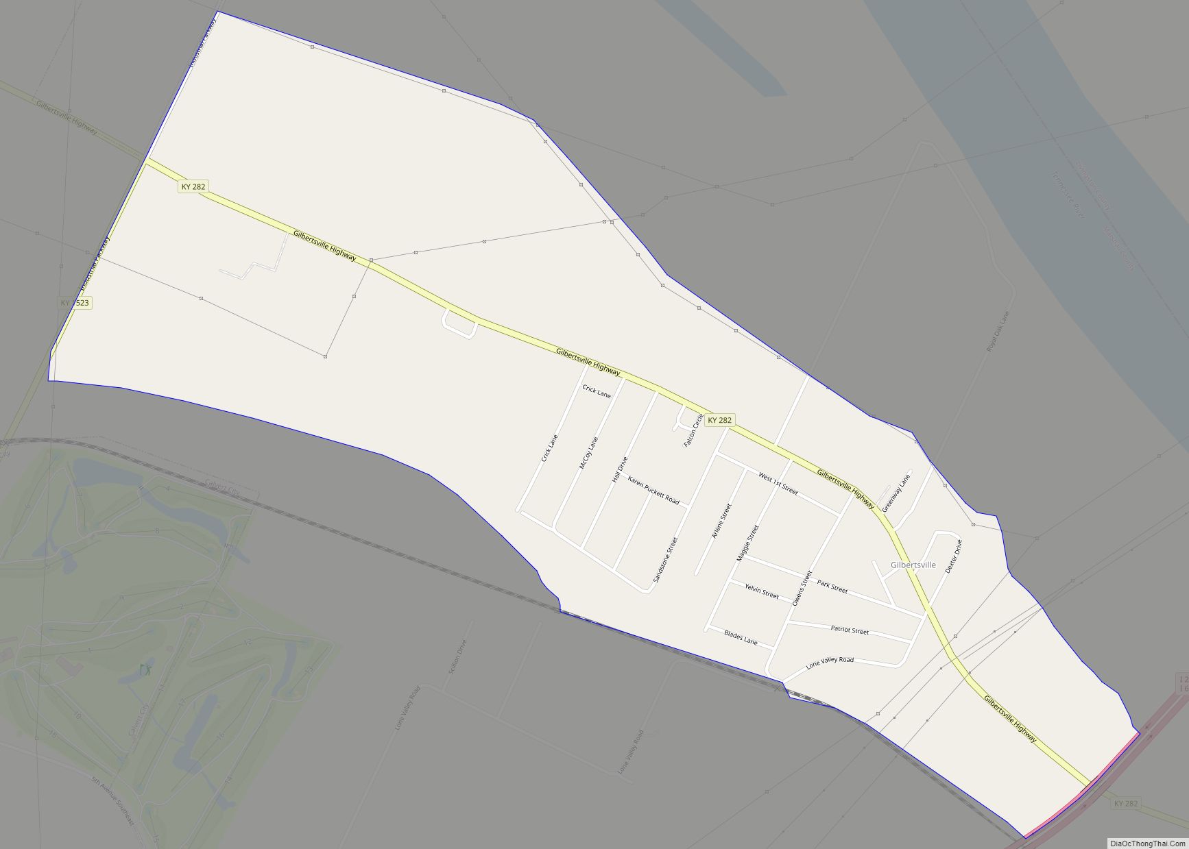
The lake’s impoundment resulted in flooding two historic Marshall County towns: Birmingham, six miles north of Fairdealing, and Gilbertsville, at the dam’s site, both of which were evacuated. Gilbertsville was relocated west of its original location, but Birmingham residents had to find new homes elsewhere. Gilbertsville was an incorporated town until the 1970s, when its charter was dissolved by public vote. Kentucky Lake (created on the Tennessee River) and Lake Barkley (created on the Cumberland River) were connected by a canal. Together they make up one of the largest man-made bodies of water in the world.
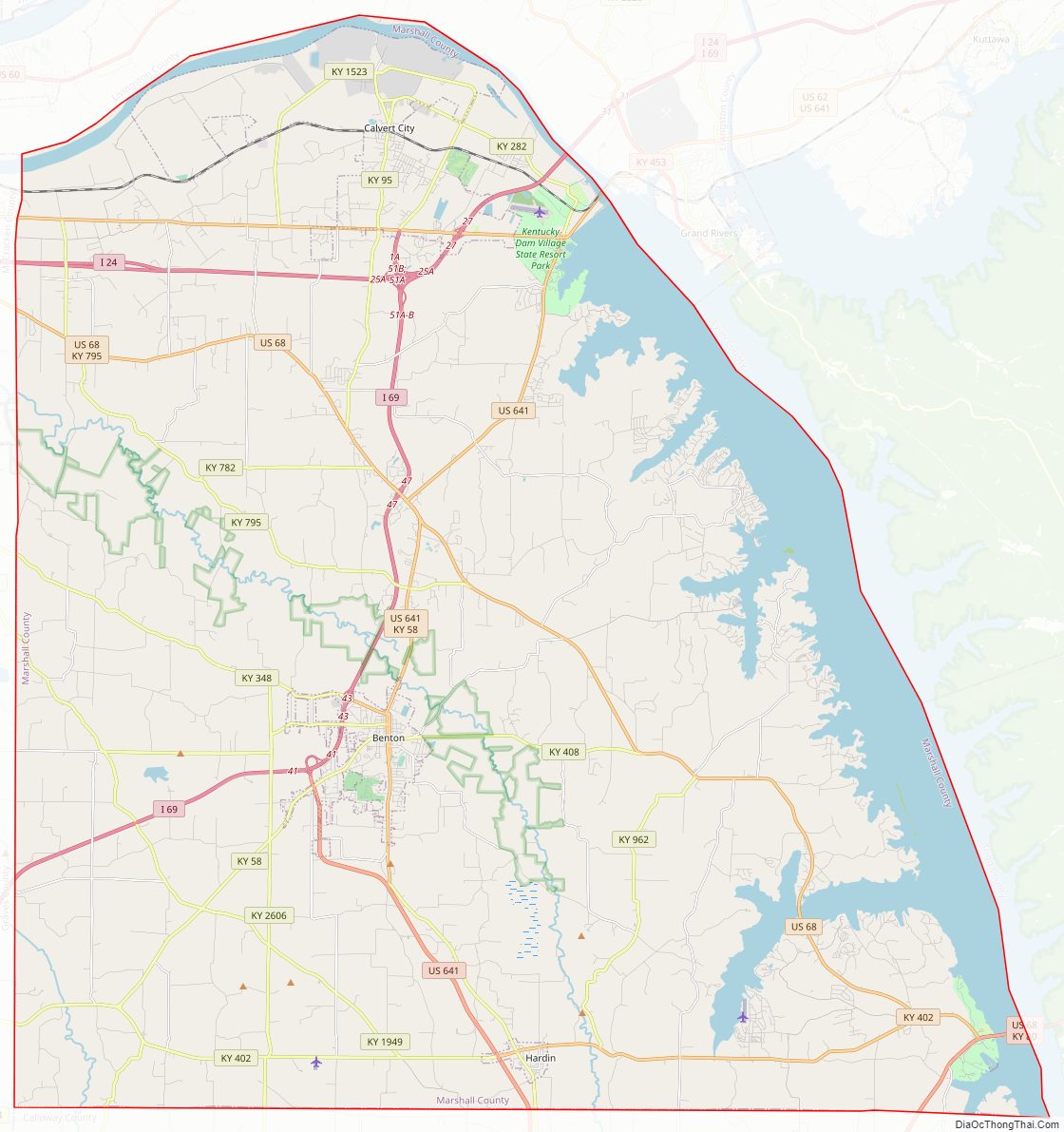
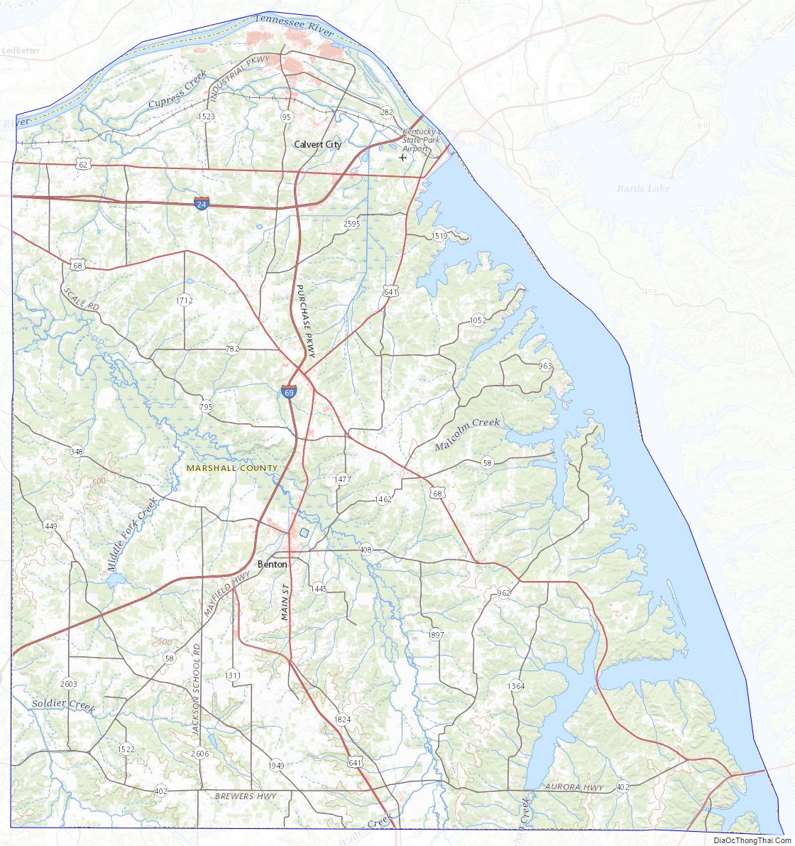
Marshall County Road Map
Geography
According to the United States Census Bureau, the county has a total area of 340 square miles (880 km), of which 301 square miles (780 km) is land and 39 square miles (100 km) (11%) is water. The county’s northeastern border is formed by the Tennessee River and Kentucky Lake.
Adjacent counties
- Livingston County (north)
- Lyon County (east)
- Trigg County (east)
- Calloway County (south)
- Graves County (west)
- McCracken County (west)
National protected area
- Clarks River National Wildlife Refuge (part)
Marshall County Topographic Map
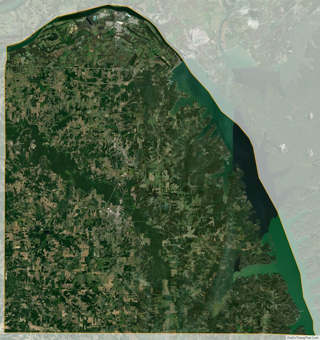
Marshall County Satellite Map
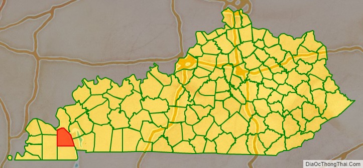
Marshall County Outline Map