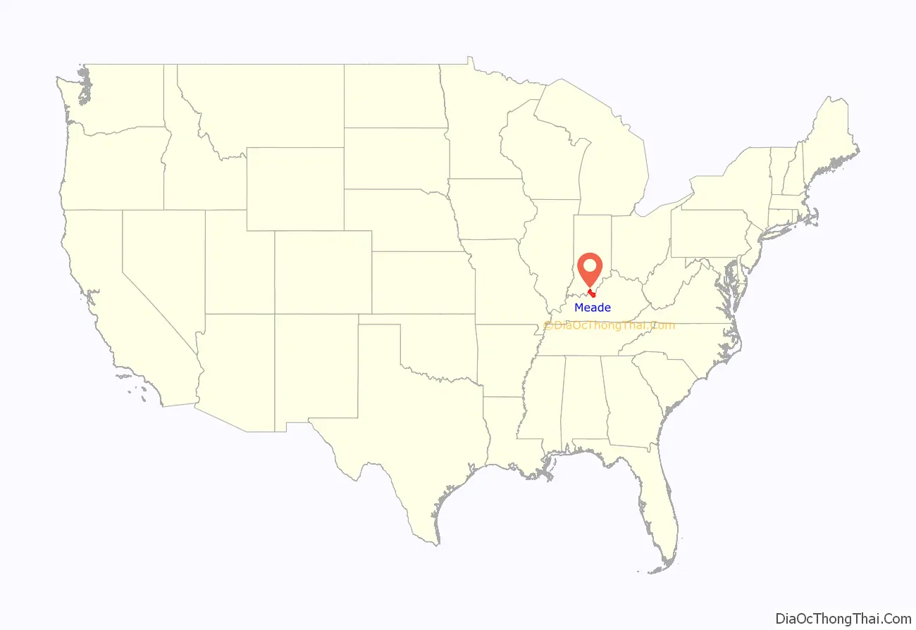
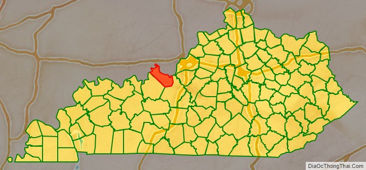
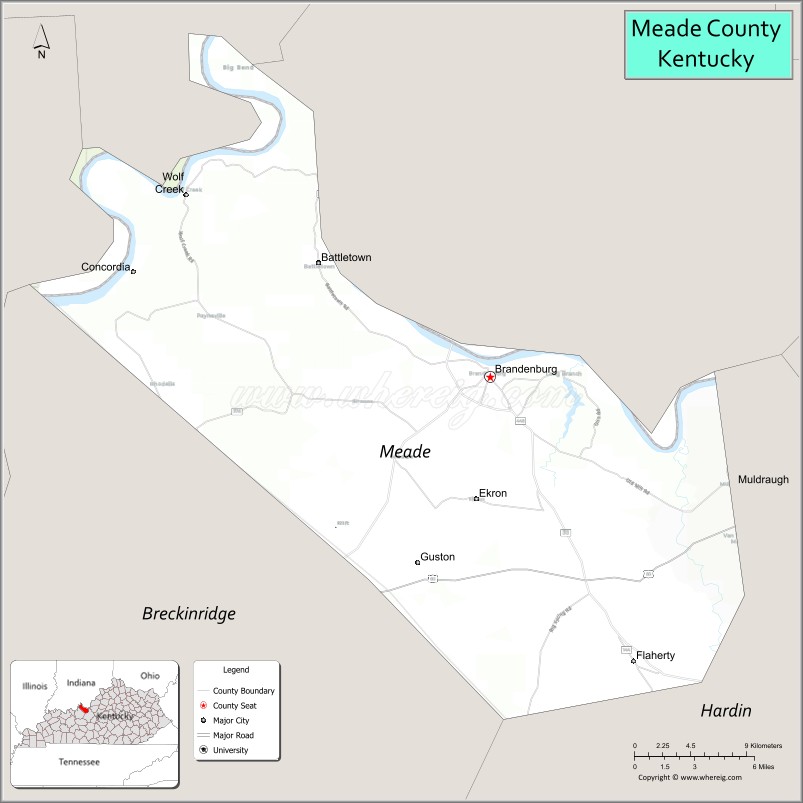
Meade County is a county located in the U.S. state of Kentucky. As of the 2020 census, the population was 30,003. Its county seat is Brandenburg. The county was founded December 17, 1823, and named for Captain James M. Meade, who was killed in action at the Battle of River Raisin during the War of 1812. Meade County is part of the Elizabethtown-Fort Knox, KY Metropolitan Statistical Area, which is included in the Louisville/Jefferson County-Elizabethtown-Madison, KY-IN Combined Statistical Area.
| Name: | Meade County |
|---|---|
| FIPS code: | 21-163 |
| State: | Kentucky |
| Founded: | 1823 |
| Named for: | James Meade |
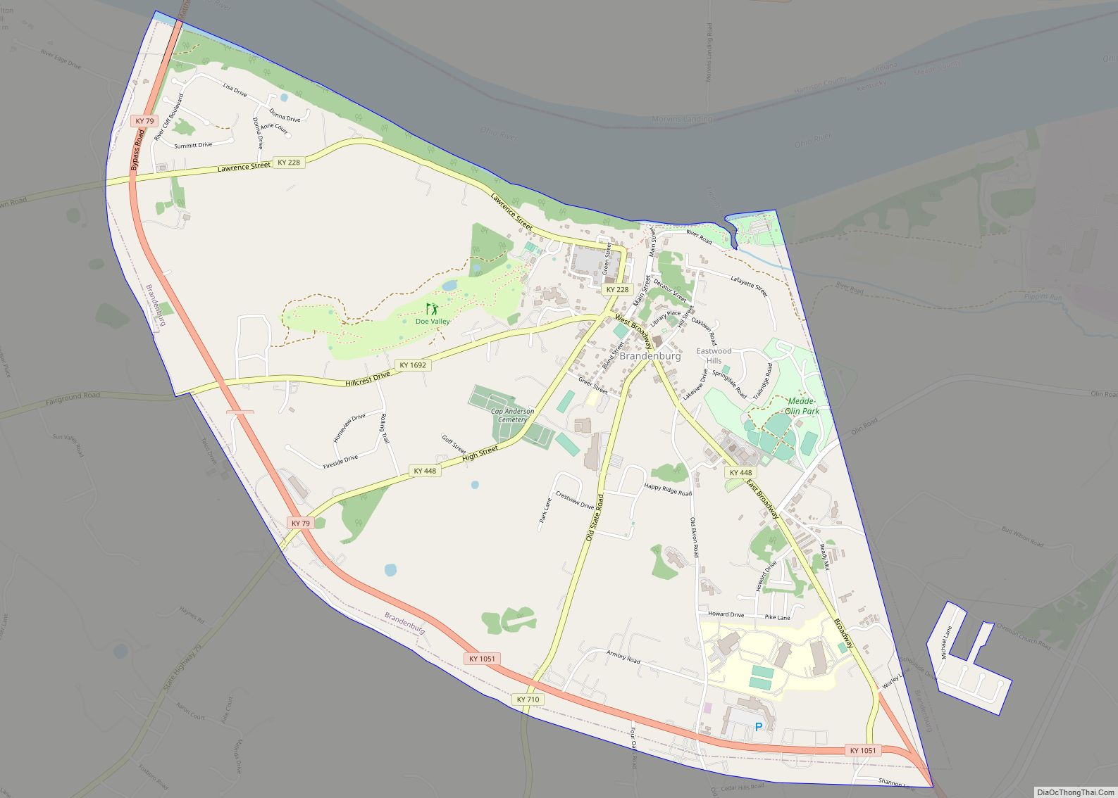
| Seat: | Brandenburg |
| Largest city: | Brandenburg |
| Total Area: | 325 sq mi (840 km²) |
| Land Area: | 305 sq mi (790 km²) |
| Total Population: | 30,003 |
| Population Density: | 92/sq mi (36/km²) |
| Time zone: | UTC−5 (Eastern) |
| Summer Time Zone (DST): | UTC−4 (EDT) |
| Website: | www.meadeky.gov |
Meade County location map. Where is Meade County?
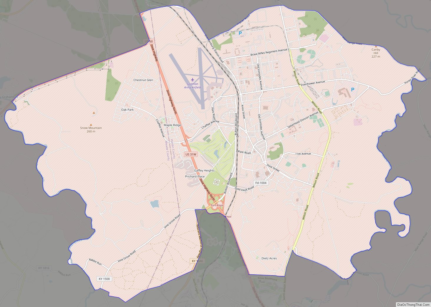
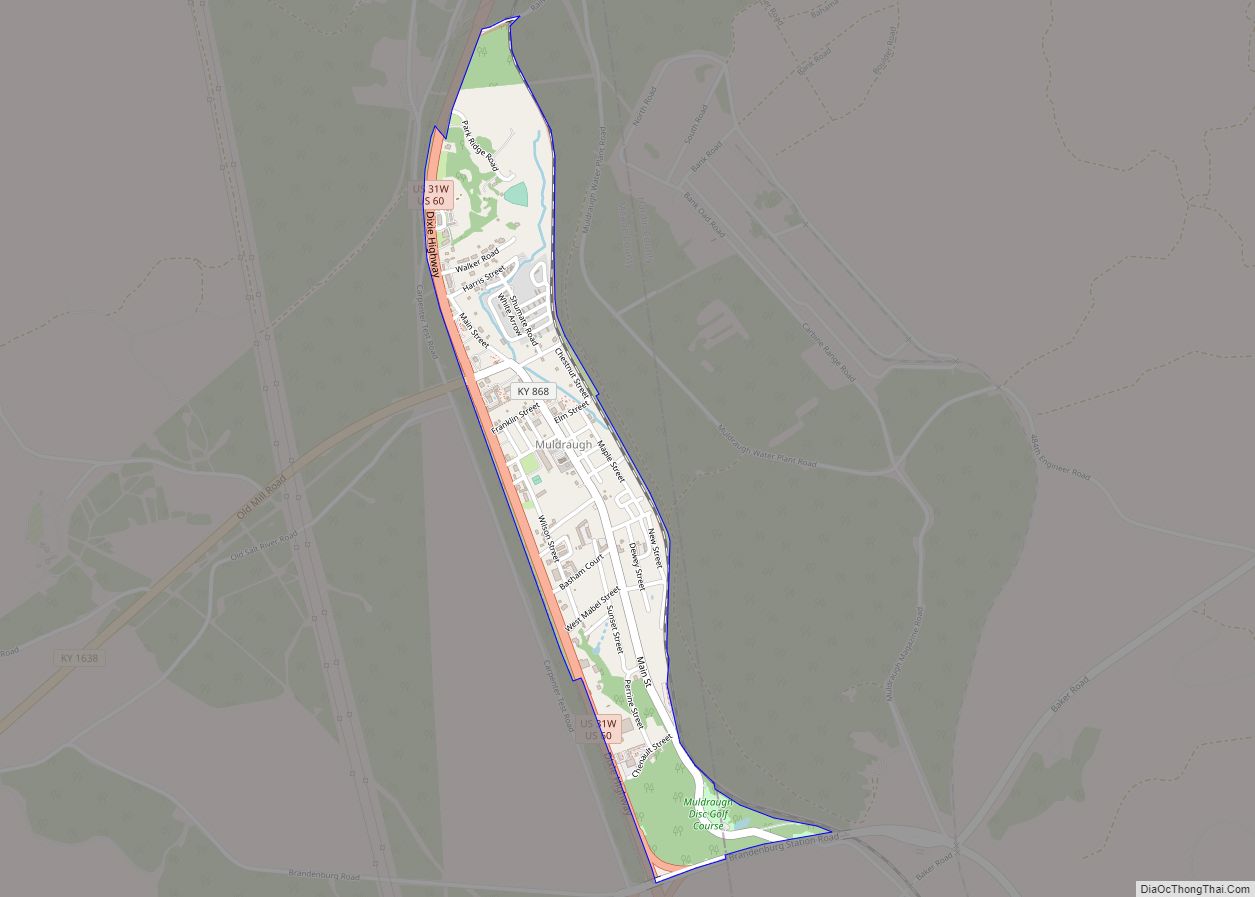
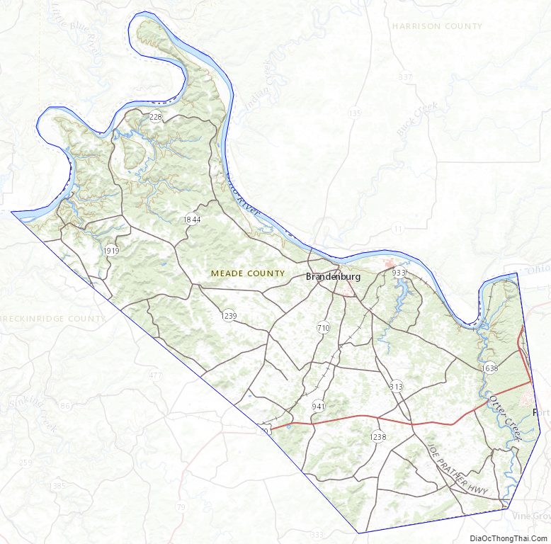
Meade County Road Map

Geography
According to the United States Census Bureau, the county has a total area of 325 square miles (840 km), of which 305 square miles (790 km) is land and 19 square miles (49 km) (5.9%) is water. All 56 miles (90 km) of the county’s northern border faces Indiana, across from the Ohio River.
Outdoor attractions
- Doe Run Inn
- Otter Creek Outdoor Recreation Area
- Meade Olin Park
- Diana’s Park
- Park Down By The River
Adjacent counties
- Hardin County (southeast)
- Breckinridge County (southwest/CST Border)
- Harrison County, Indiana (northeast)
- Perry County, Indiana (northwest/CST Border)
- Crawford County, Indiana (north)
Meade County Topographic Map
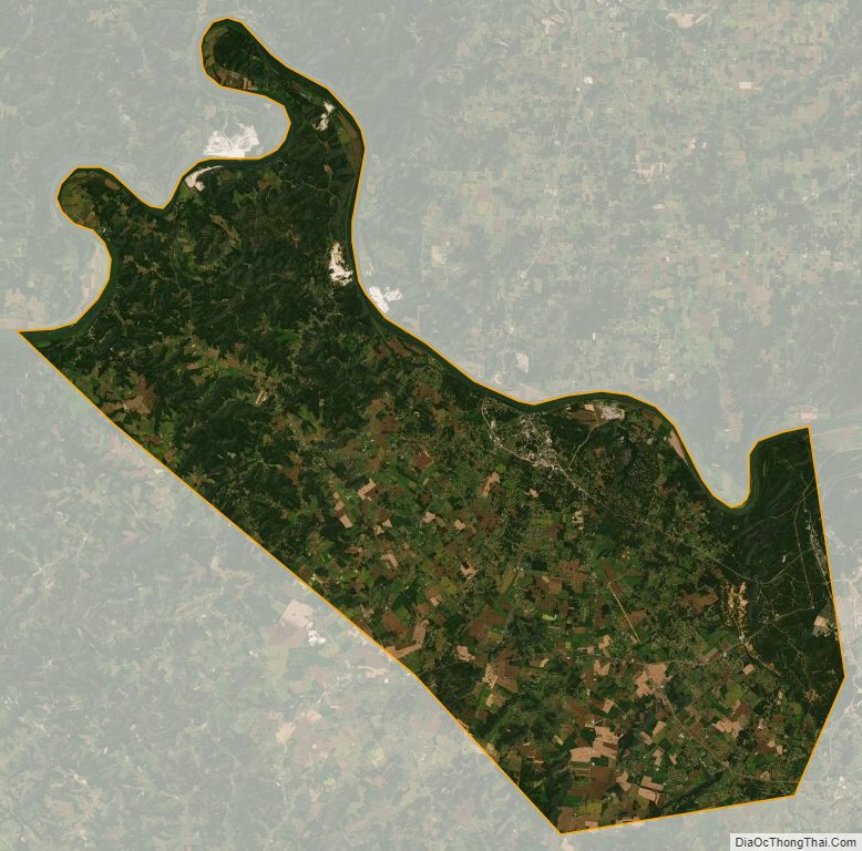
Meade County Satellite Map
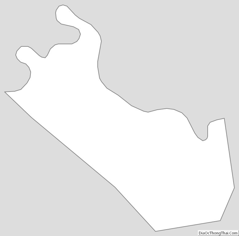
Meade County Outline Map