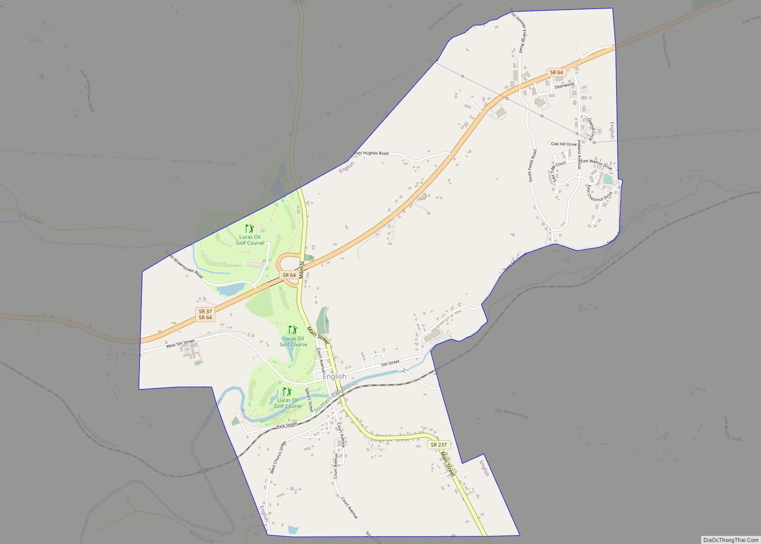
Crawford County is a county located in the U.S. state of Indiana. As of 2020, the population was 10,526. The county seat is English.
| Name: | Crawford County |
|---|---|
| FIPS code: | 18-025 |
| State: | Indiana |
| Founded: | 1818 |
| Named for: | William H. Crawford |
| Seat: | English |
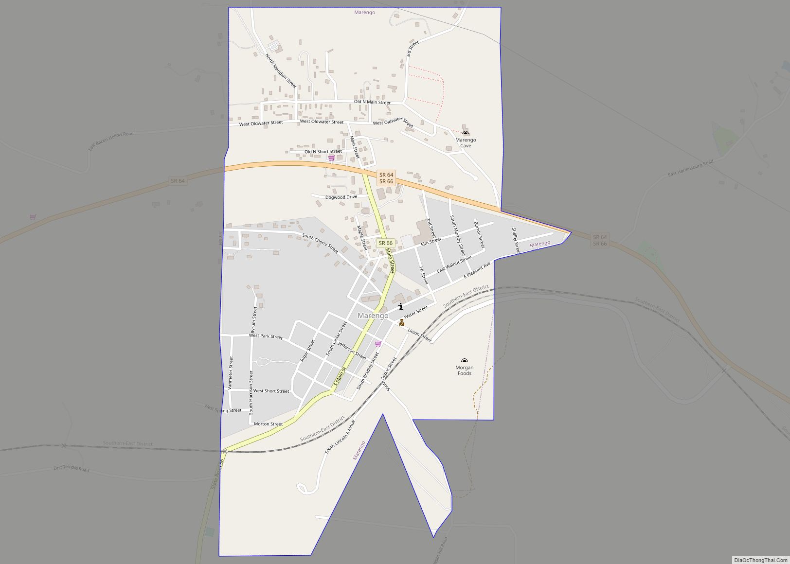
| Largest town: | Marengo |
| Total Area: | 308.72 sq mi (799.6 km²) |
| Land Area: | 305.64 sq mi (791.6 km²) |
| Total Population: | 10,526 |
| Population Density: | 34/sq mi (13/km²) |
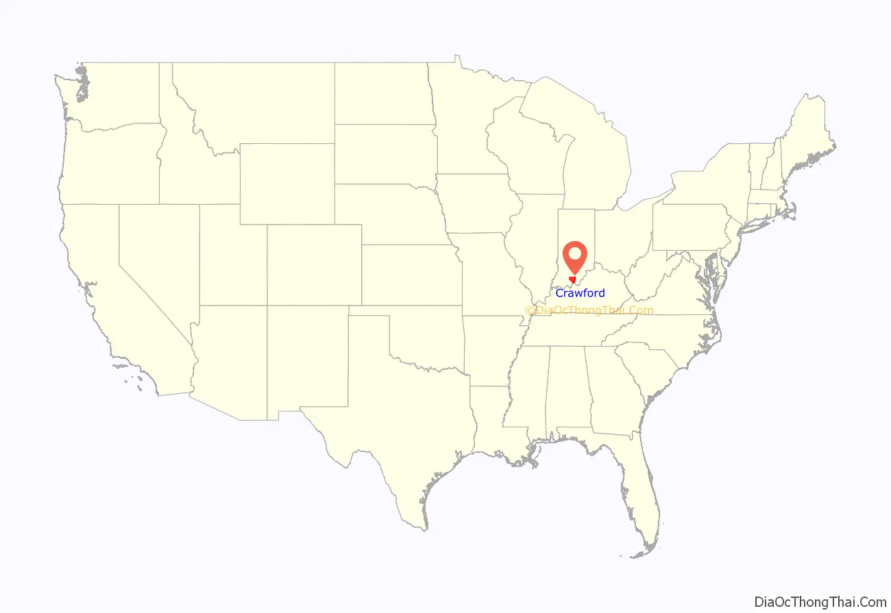
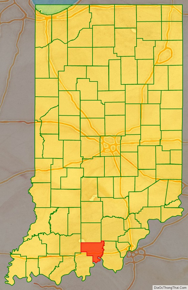
Crawford County location map. Where is Crawford County?
History
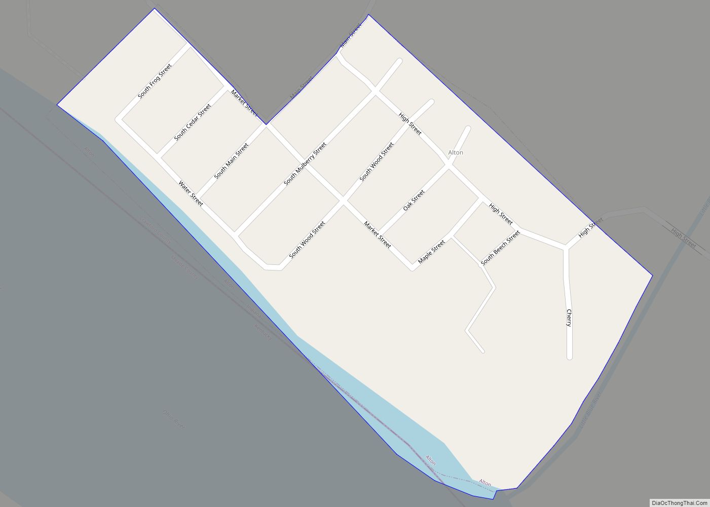
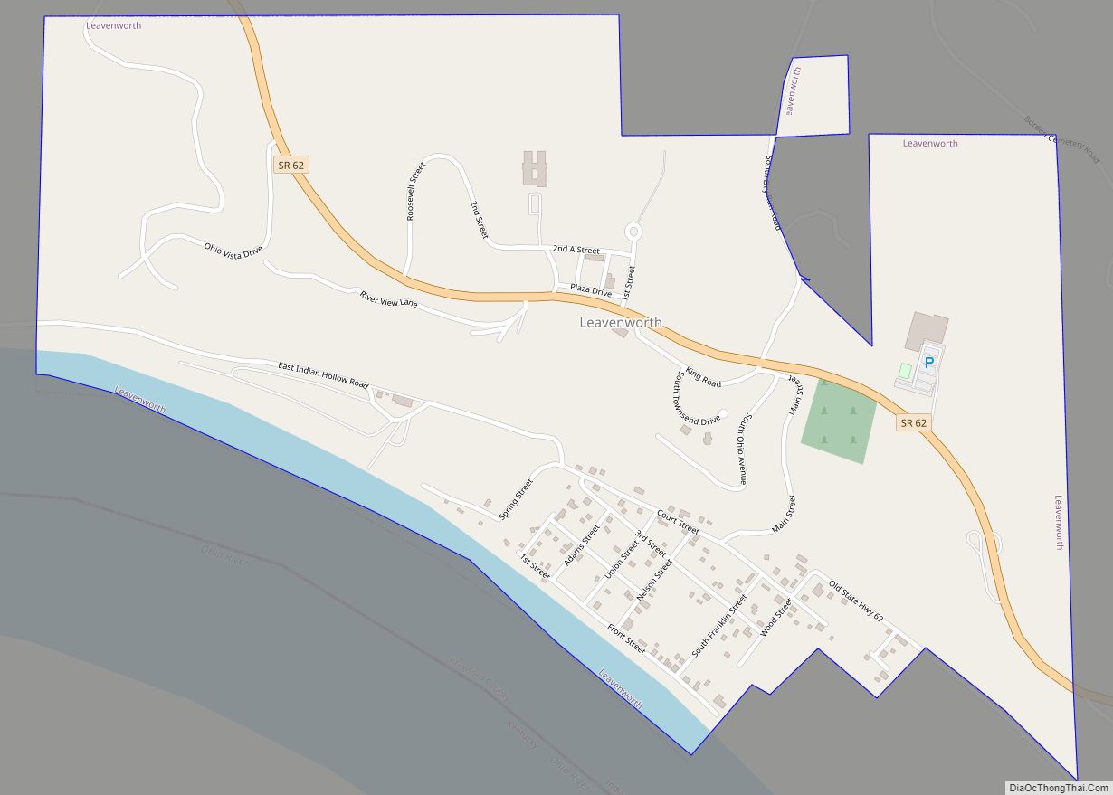
Crawford County was formed on January 5, 1818, from land in the Harrison, Orange and Perry counties, prompted by petition of what would become Crawford County’s population. Some say it was named for William H. Crawford, who was U.S. Treasury Secretary in 1818. Others say it was named for Col. William Crawford, who fought in the French and Indian War and Revolutionary War, and who was burned and scalped by Indians in 1782 in what is now Wyandot County, Ohio. The county seat was in Leavenworth for several decades but eventually moved to English.
Bands of “White Caps” terrorized the county in the late 1880s, according to a report by Attorney General Louis T. Michener. Blacks and others they disliked were forced out; victims both male and female were severely whipped.
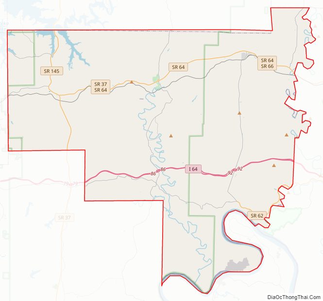
Crawford County Road Map
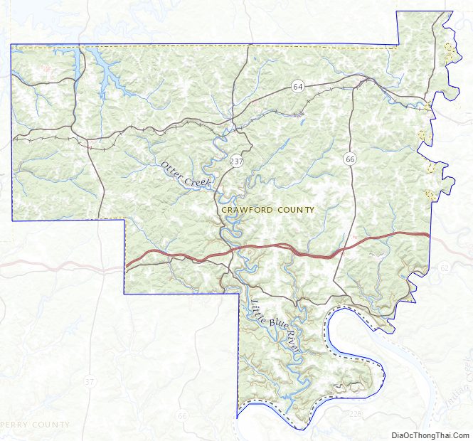
Geography
According to the 2010 census, the county has a total area of 308.72 square miles (799.6 km), of which 305.64 square miles (791.6 km) (or 99.00%) is land and 3.08 square miles (8.0 km) (or 1.00%) is water. Much like the rest of Southern Indiana Crawford County is made up of many wooded hills.
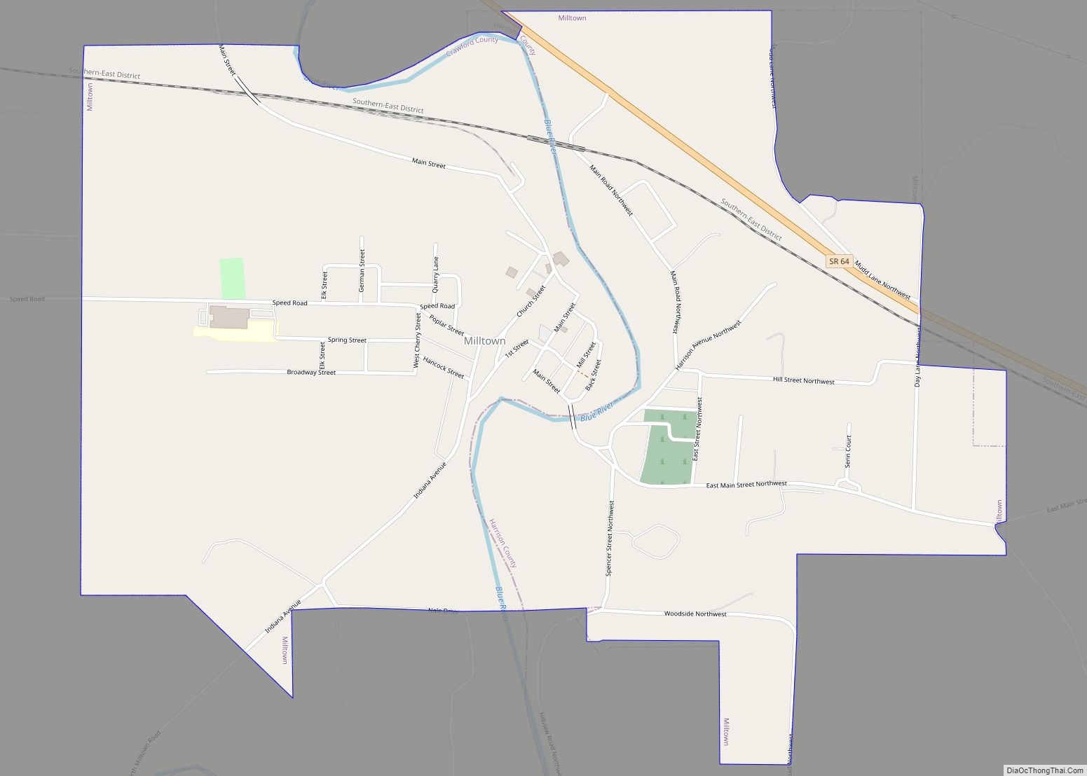
Cities and towns
- Beechwood
- Carefree
- Curby
- Eckerty
- Fredonia
- Grantsburg
- Mifflin
- Riceville
- Riddle
- Sulphur
- Taswell
- West Fork
- Wickliffe
Townships
- Boone
- Jennings
- Johnson
- Liberty
- Ohio
- Patoka
- Sterling
- Union
- Whiskey Run
Major highways
- Interstate 64
- Indiana State Road 37
- Indiana State Road 62
- Indiana State Road 64
- Indiana State Road 66
- Indiana State Road 145
- Indiana State Road 164
- Indiana State Road 237
Adjacent counties
- Orange County (north)
- Washington County (northeast)
- Harrison County (east)
- Meade County, Kentucky (south)
- Perry County (southwest/CT Boundary)
- Dubois County (west)
National protected area
- Hoosier National Forest (part)
Crawford County Topographic Map
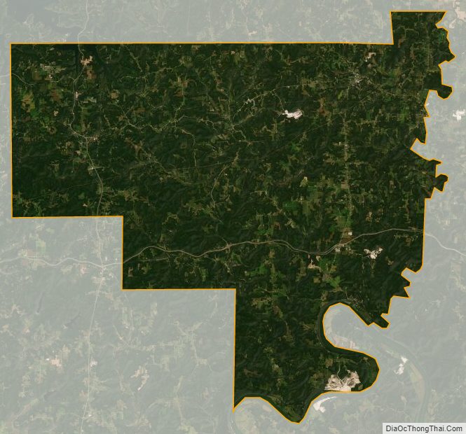
Crawford County Satellite Map
Crawford County Outline Map