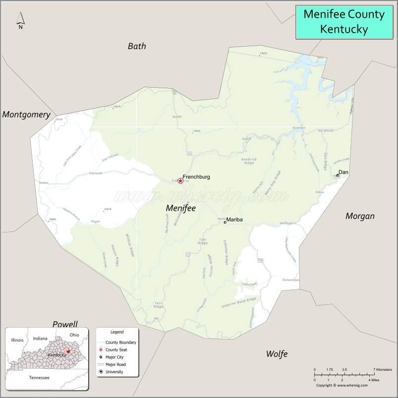
Menifee County is a county located in the U.S. state of Kentucky. As of the 2020 census, the population was 6,113, making it the fifth-least populous county in Kentucky. Its county seat is Frenchburg. The county is named for Richard Hickman Menefee, U.S. Congressman, although the spelling has changed. It is a prohibition or dry county. Menifee County is part of the Mount Sterling, KY Micropolitan Statistical Area, which is also included in the Lexington-Fayette-Richmond–Frankfort, KY Combined Statistical Area. It is located in the foothills of the Cumberland Plateau.
| Name: | Menifee County |
|---|---|
| FIPS code: | 21-165 |
| State: | Kentucky |
| Founded: | 1869 |
| Named for: | Richard H. Menefee |
| Seat: | Frenchburg |
| Largest city: | Frenchburg |
| Total Area: | 206 sq mi (530 km²) |
| Land Area: | 204 sq mi (530 km²) |
| Total Population: | 6,113 |
| Population Density: | 30/sq mi (11/km²) |
| Time zone: | UTC−5 (Eastern) |
| Summer Time Zone (DST): | UTC−4 (EDT) |
| Website: | www.menifeecounty.ky.gov |
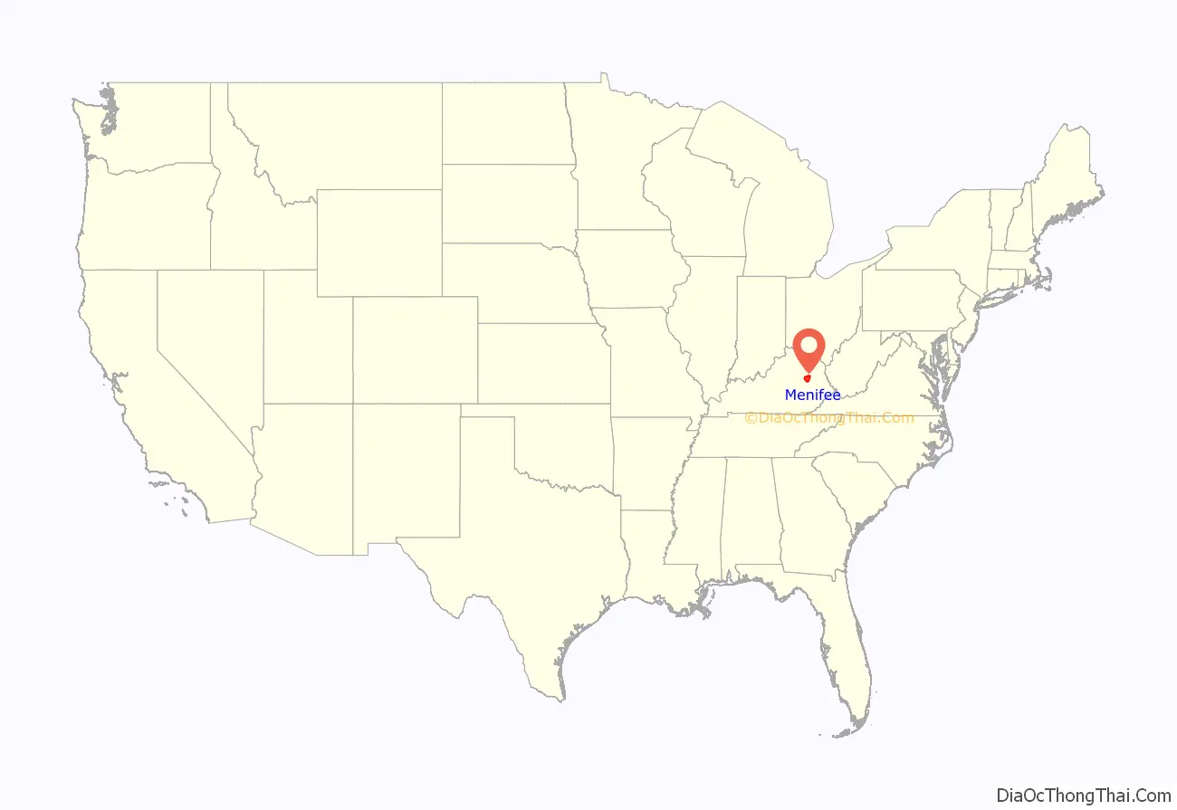
Menifee County location map. Where is Menifee County?
History
Menifee County was formed on May 29, 1869, from portions of Bath, Montgomery, Morgan, Powell, and Wolfe counties.
In the 2008 Presidential Election Menifee County was one of eight in the state of Kentucky where the majority of voters voted for Barack Obama.
On March 2, 2012, an EF3 tornado hit Menifee county and several other surrounding counties. Many were injured, and three were killed.
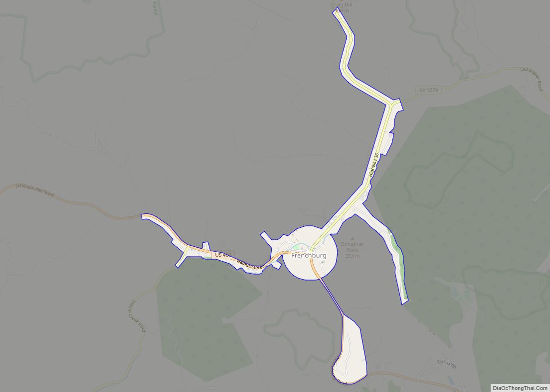
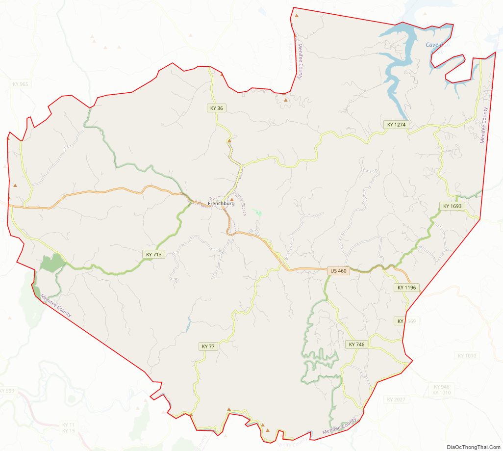
Menifee County Road Map
Geography
According to the U.S. Census Bureau, the county has a total area of 206 square miles (530 km), of which 204 square miles (530 km) is land and 2.3 square miles (6.0 km) (1.1%) is water.
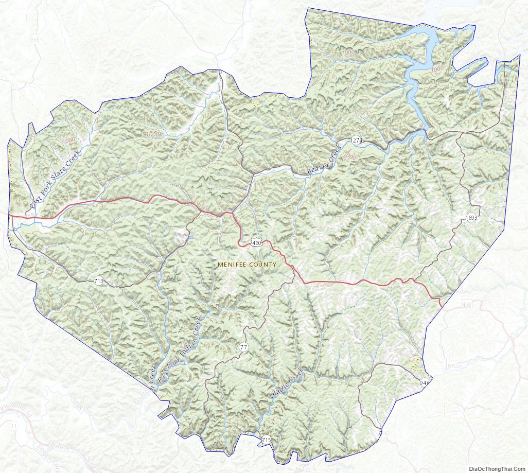
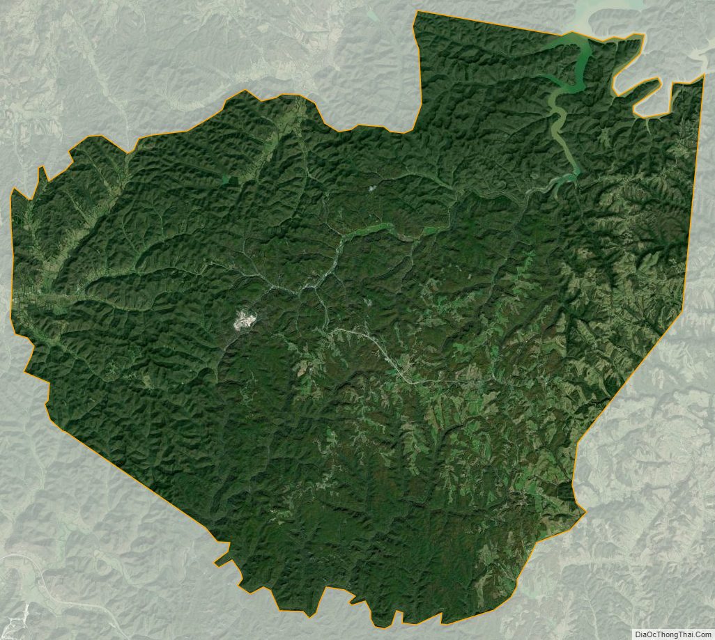
Menifee County is mountainous and heavily forested. Much of the land is within Daniel Boone National Forest. Only about 10% of the county’s land is in cultivated farms, and the county ranks 102nd of Kentucky’s 120 counties in agricultural revenue.
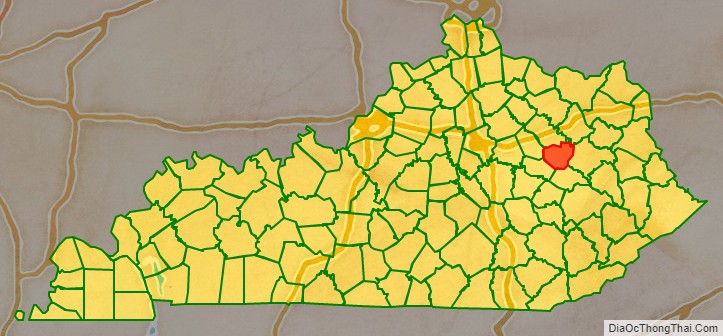
Adjacent counties
- Bath County (north)
- Rowan County (northeast)
- Morgan County (east)
- Wolfe County (south)
- Powell County (southwest)
- Montgomery County (west)
National protected area
- Daniel Boone National Forest (part)
Menifee County Topographic Map
Menifee County Satellite Map
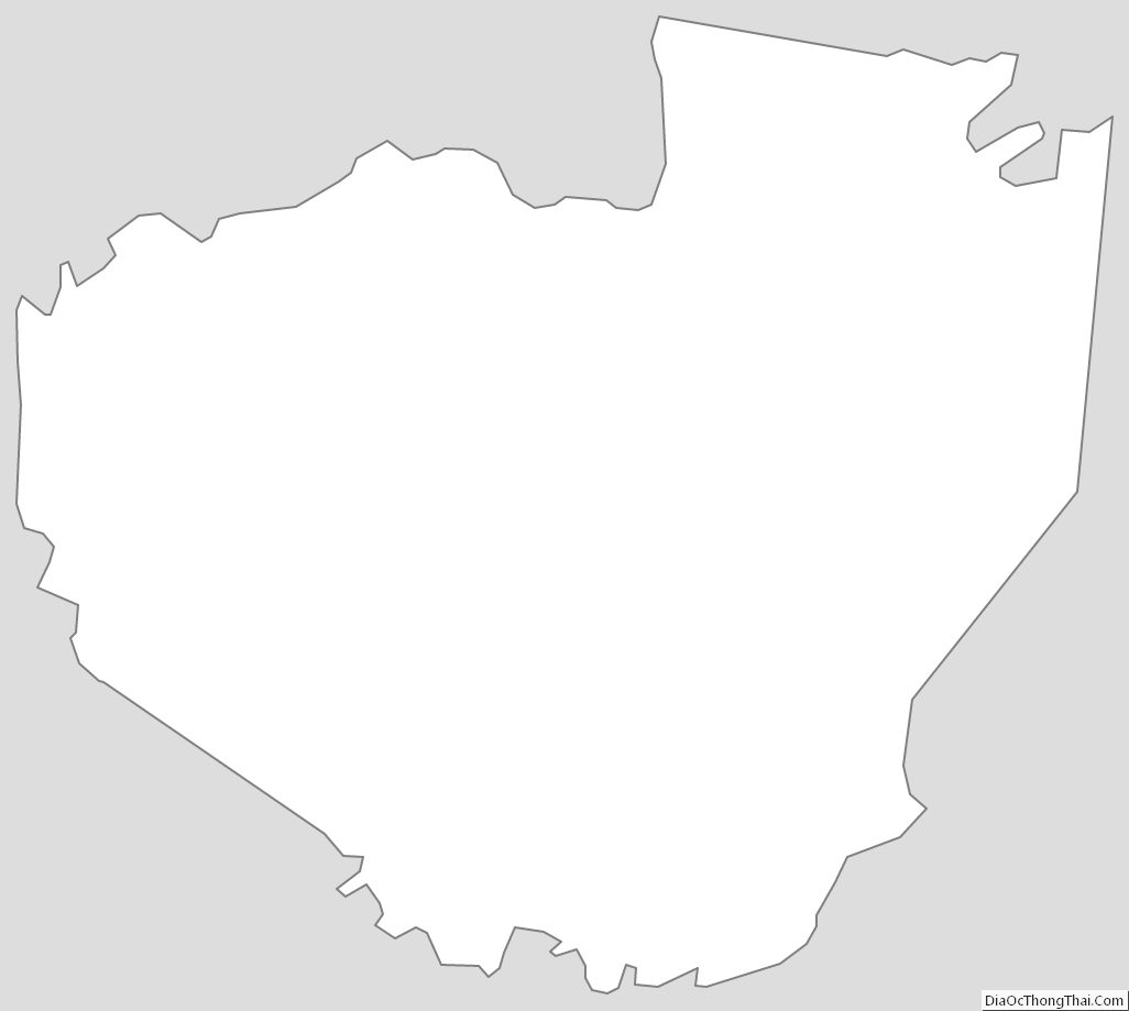
Menifee County Outline Map