Mount Sterling, often written as Mt. Sterling, is a home rule-class city in Montgomery County, Kentucky, United States. The population was 7,558 as of the 2020 census, up from 6,895 in 2010. It is the county seat of Montgomery County and the principal city of the Mount Sterling micropolitan area.
| Name: | Mount Sterling city |
|---|---|
| LSAD Code: | 25 |
| LSAD Description: | city (suffix) |
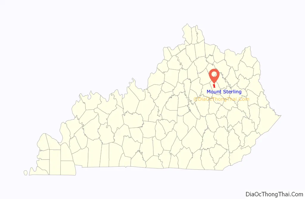
| State: | Kentucky |
| County: | Montgomery County |
| Incorporated: | 1852 |
| Elevation: | 974 ft (297 m) |
| Total Area: | 4.51 sq mi (11.68 km²) |
| Land Area: | 4.49 sq mi (11.62 km²) |
| Water Area: | 0.02 sq mi (0.06 km²) |
| Total Population: | 7,558 |
| Population Density: | 1,684.05/sq mi (650.19/km²) |
| ZIP code: | 40353 |
| Area code: | 859 |
| FIPS code: | 2154084 |
| GNISfeature ID: | 0498865 |
| Website: | mtsterling.ky.gov |
Online Interactive Map
Click on ![]() to view map in "full screen" mode.
to view map in "full screen" mode.
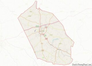
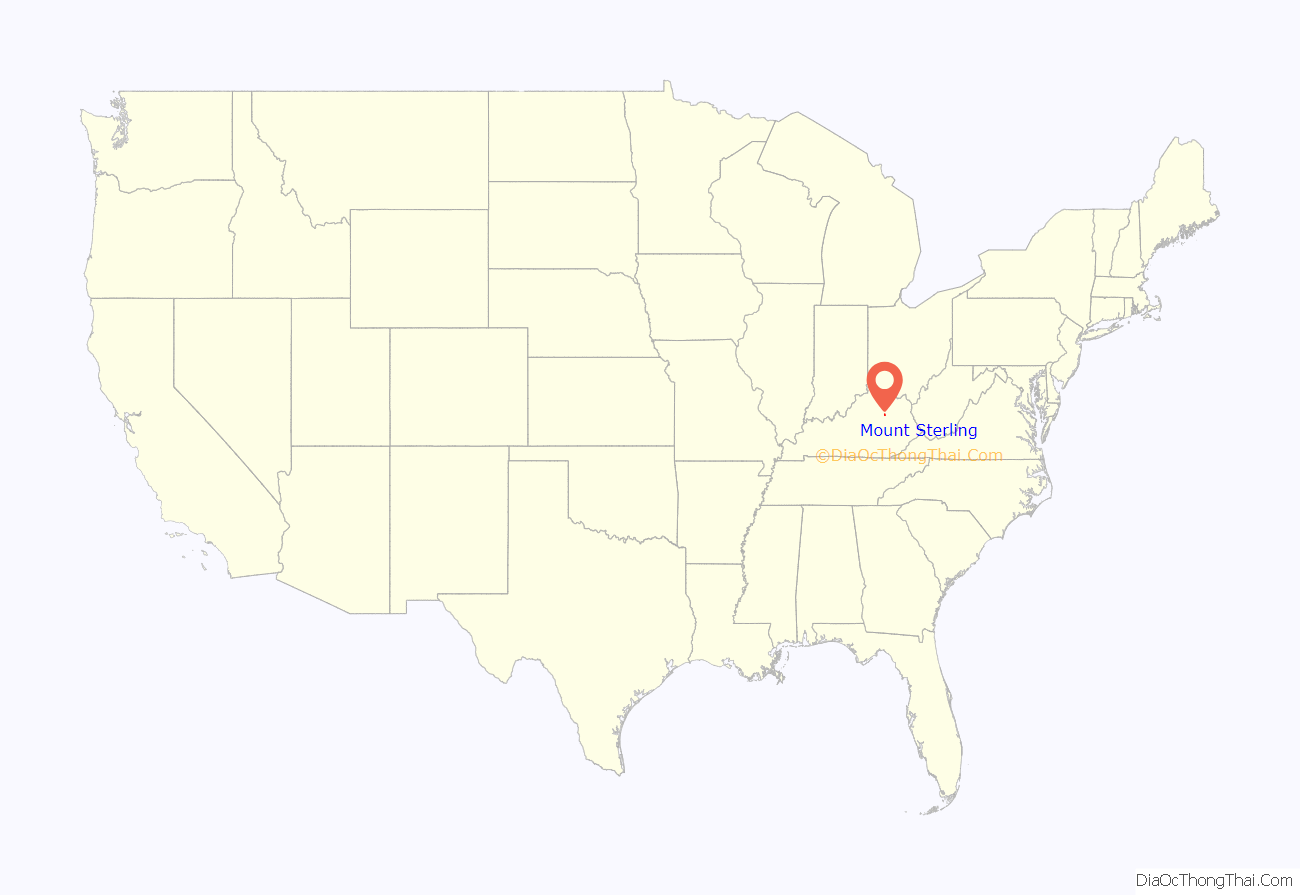
Mount Sterling location map. Where is Mount Sterling city?
History
Mount Sterling is named for an ancient burial mound called “Little Mountain”, and for the town of Stirling in Scotland. It was named by the first developer of the area, Hugh Forbes. The Kentucky Assembly passed an act in 1792 establishing the town as Mt. Sterling, a misspelling which was retained.
The area was originally part of the thick wilderness of central Kentucky. Explorers, hunters, and surveyors traveling along a trail called Old Harper’s Trace noted a 125-foot-high (38 m) tree-covered mound which they called “the Little Mountain”. Later excavations showed it to be a burial site. The site of the mound is now the intersection of Queen and Locust streets in Mt. Sterling.
The first cabin in the area was built in 1779. The first permanent settlement was established around 1790, when Forbes began to sell lots and laid out a road, now Locust Street. In 1796 the town was established as the county seat of newly created Montgomery County. At that time the town consisted of 33 town lots, four retail stores, and three taverns. A courthouse was built, the first of seven to be housed in Mt. Sterling. A jail and a town pump were also installed. A large brick market house where farm produce was bought and sold confirmed the town as the commercial center of the surrounding area. Baptist, Presbyterian and Methodist churches were established during the town’s first decade.
During the Civil War the town was occupied alternately by Union and Confederate troops on multiple occasions. The Battle of Mount Sterling in June 1864, which ended in a Confederate defeat, was the last of the fighting in Montgomery County.
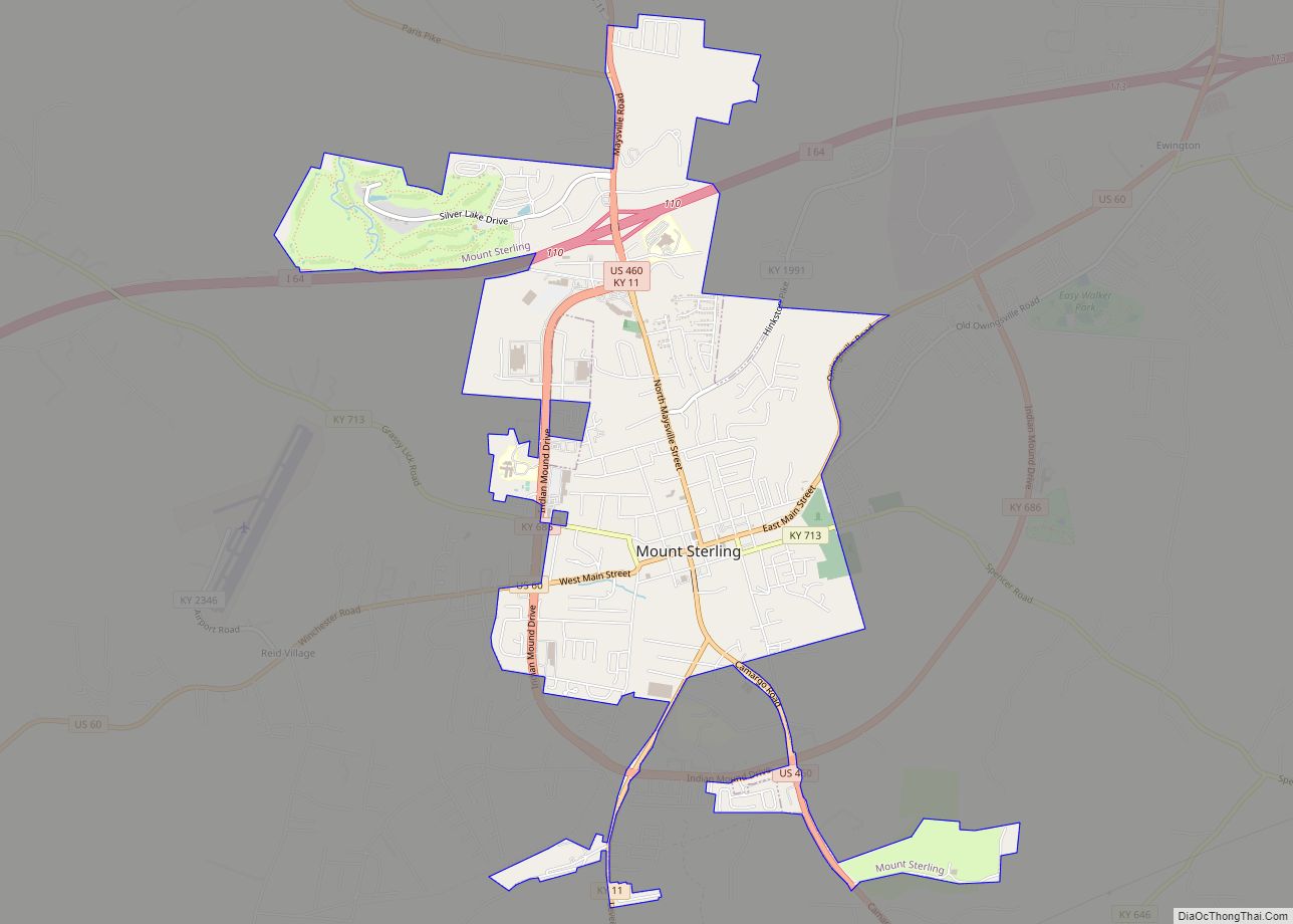
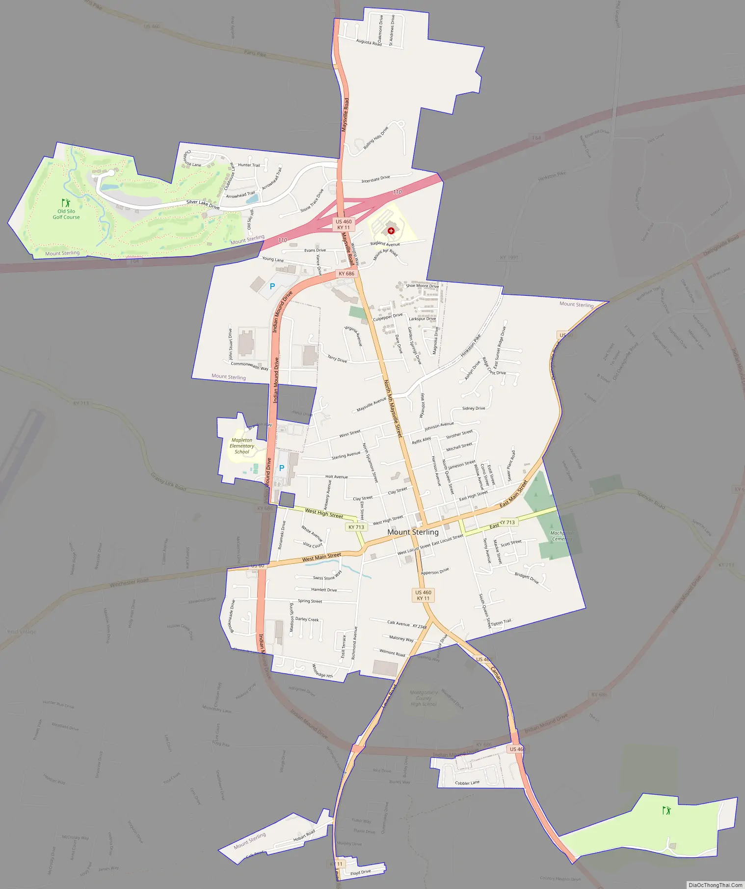
Mount Sterling Road Map
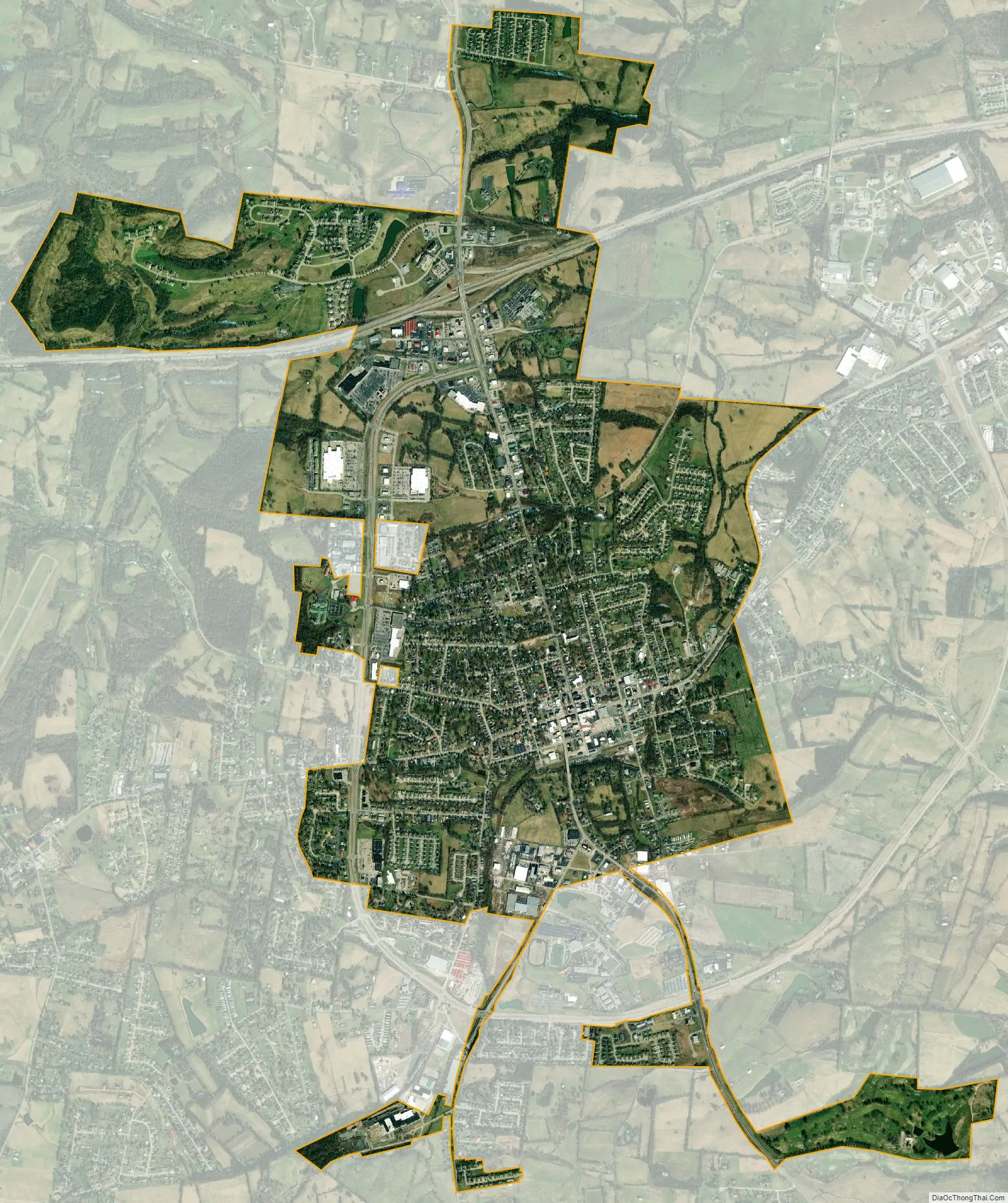
Mount Sterling city Satellite Map
Geography
Mt. Sterling is located northwest of the center of Montgomery County at 38°3′24″N 83°56′40″W / 38.05667°N 83.94444°W / 38.05667; -83.94444 (38.056613, -83.944500). It is 34 miles (55 km) east of Lexington and 91 miles (146 km) west of Huntington, West Virginia. U.S. Route 60 passes through the city as Main Street, leading northeast 14 miles (23 km) to Owingsville and west-southwest 16 miles (26 km) to Winchester. U.S. Route 460 crosses US 60 in the center of Mt. Sterling, leading northwest 23 miles (37 km) to Paris and southeast 21 miles (34 km) to Frenchburg. Kentucky Route 11 joins US 460 through the center of Mt. Sterling but leads north 31 miles (50 km) to Flemingsburg and south 15 miles (24 km) to Clay City. Interstate 64 passes through the northern part of Mt. Sterling, with access from exits 110 (US 460) and 113 (US 60), and connecting Mt. Sterling with Lexington and Huntington.
According to the United States Census Bureau, Mt. Sterling has a total area of 4.52 square miles (11.71 km), of which 0.02 square miles (0.05 km), or 0.49%, are water. Hinkston Creek runs through the city center, flowing north and then west to the South Fork of the Licking River in northern Bourbon County.
See also
Map of Kentucky State and its subdivision:- Adair
- Allen
- Anderson
- Ballard
- Barren
- Bath
- Bell
- Boone
- Bourbon
- Boyd
- Boyle
- Bracken
- Breathitt
- Breckinridge
- Bullitt
- Butler
- Caldwell
- Calloway
- Campbell
- Carlisle
- Carroll
- Carter
- Casey
- Christian
- Clark
- Clay
- Clinton
- Crittenden
- Cumberland
- Daviess
- Edmonson
- Elliott
- Estill
- Fayette
- Fleming
- Floyd
- Franklin
- Fulton
- Gallatin
- Garrard
- Grant
- Graves
- Grayson
- Green
- Greenup
- Hancock
- Hardin
- Harlan
- Harrison
- Hart
- Henderson
- Henry
- Hickman
- Hopkins
- Jackson
- Jefferson
- Jessamine
- Johnson
- Kenton
- Knott
- Knox
- Larue
- Laurel
- Lawrence
- Lee
- Leslie
- Letcher
- Lewis
- Lincoln
- Livingston
- Logan
- Lyon
- Madison
- Magoffin
- Marion
- Marshall
- Martin
- Mason
- McCracken
- McCreary
- McLean
- Meade
- Menifee
- Mercer
- Metcalfe
- Monroe
- Montgomery
- Morgan
- Muhlenberg
- Nelson
- Nicholas
- Ohio
- Oldham
- Owen
- Owsley
- Pendleton
- Perry
- Pike
- Powell
- Pulaski
- Robertson
- Rockcastle
- Rowan
- Russell
- Scott
- Shelby
- Simpson
- Spencer
- Taylor
- Todd
- Trigg
- Trimble
- Union
- Warren
- Washington
- Wayne
- Webster
- Whitley
- Wolfe
- Woodford
- Alabama
- Alaska
- Arizona
- Arkansas
- California
- Colorado
- Connecticut
- Delaware
- District of Columbia
- Florida
- Georgia
- Hawaii
- Idaho
- Illinois
- Indiana
- Iowa
- Kansas
- Kentucky
- Louisiana
- Maine
- Maryland
- Massachusetts
- Michigan
- Minnesota
- Mississippi
- Missouri
- Montana
- Nebraska
- Nevada
- New Hampshire
- New Jersey
- New Mexico
- New York
- North Carolina
- North Dakota
- Ohio
- Oklahoma
- Oregon
- Pennsylvania
- Rhode Island
- South Carolina
- South Dakota
- Tennessee
- Texas
- Utah
- Vermont
- Virginia
- Washington
- West Virginia
- Wisconsin
- Wyoming