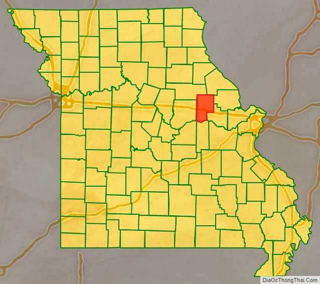
Montgomery County is a county in the east central part of the U.S. state of Missouri. As of the 2020 census, the population was 11,322. Its county seat is Montgomery City. The county was named in honor of Richard Montgomery, an American Revolutionary War general killed in 1775 while attempting to capture Quebec City, Canada.
The county comprises a portion of the Missouri Rhineland. It is approximately halfway between Columbia and St. Louis.
| Name: | Montgomery County |
|---|---|
| FIPS code: | 29-139 |
| State: | Missouri |
| Founded: | December 14, 1818 |
| Named for: | Richard Montgomery |
| Seat: | Montgomery City |
| Largest city: | Montgomery City |
| Total Area: | 542 sq mi (1,400 km²) |
| Land Area: | 536 sq mi (1,390 km²) |
| Total Population: | 11,322 |
| Population Density: | 21/sq mi (8.1/km²) |
| Time zone: | UTC−6 (Central) |
| Summer Time Zone (DST): | UTC−5 (CDT) |
| Website: | mcmo.us |
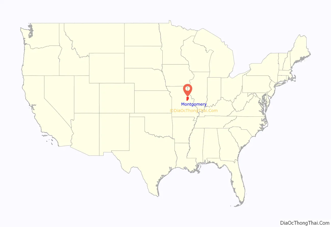
Montgomery County location map. Where is Montgomery County?
History
The county has evidence of human habitation from 10,000 years ago, the Archaic period of indigenous Americans. An ancient site was found during archaeological excavations at Graham Cave on the Loutre River.
In the early 19th century, European settlement started at a greater pace, after exploration during previous decades by French trappers and British and American fur traders.
Although the Loutre Island area is commonly associated with the German-founded towns of Rhineland and Starkenburg, established by immigrants of the mid-19th century and later, it was originally settled by Missouri’s Anglo-southern settlers from places such as Kentucky or Virginia. Although the southern part of the county is more closely associated with Missouri’s Rhineland, its northern part is more associated with Missouri’s “Little Dixie” region, earning Montgomery county the nickname “Gateway to Little Dixie”.
An early house of worship was a log church, which is still maintained as a chapel. St. Martin’s Church is also located in Starkenburg, built in 1873 and listed on the National Register of Historic Places. Above its entrance is the text: “This is the House Of God and the Gate Of Heaven.”
Starkenburg is also the site of the Shrine of Our Lady of Sorrows Catholic Church, built in the early 20th century and listed on the NRHP. For further devotions and pilgrimage, the community created an outdoor area for representations of the Stations of the Cross, Mount Calvary and Holy Sepulchre. Starkenburg is located inland from the Missouri River. After the destructive Great Flood of 1993, Rhineland citizens used federal funds to relocate their houses 1.5 miles (2.4 km) inland away from the river.
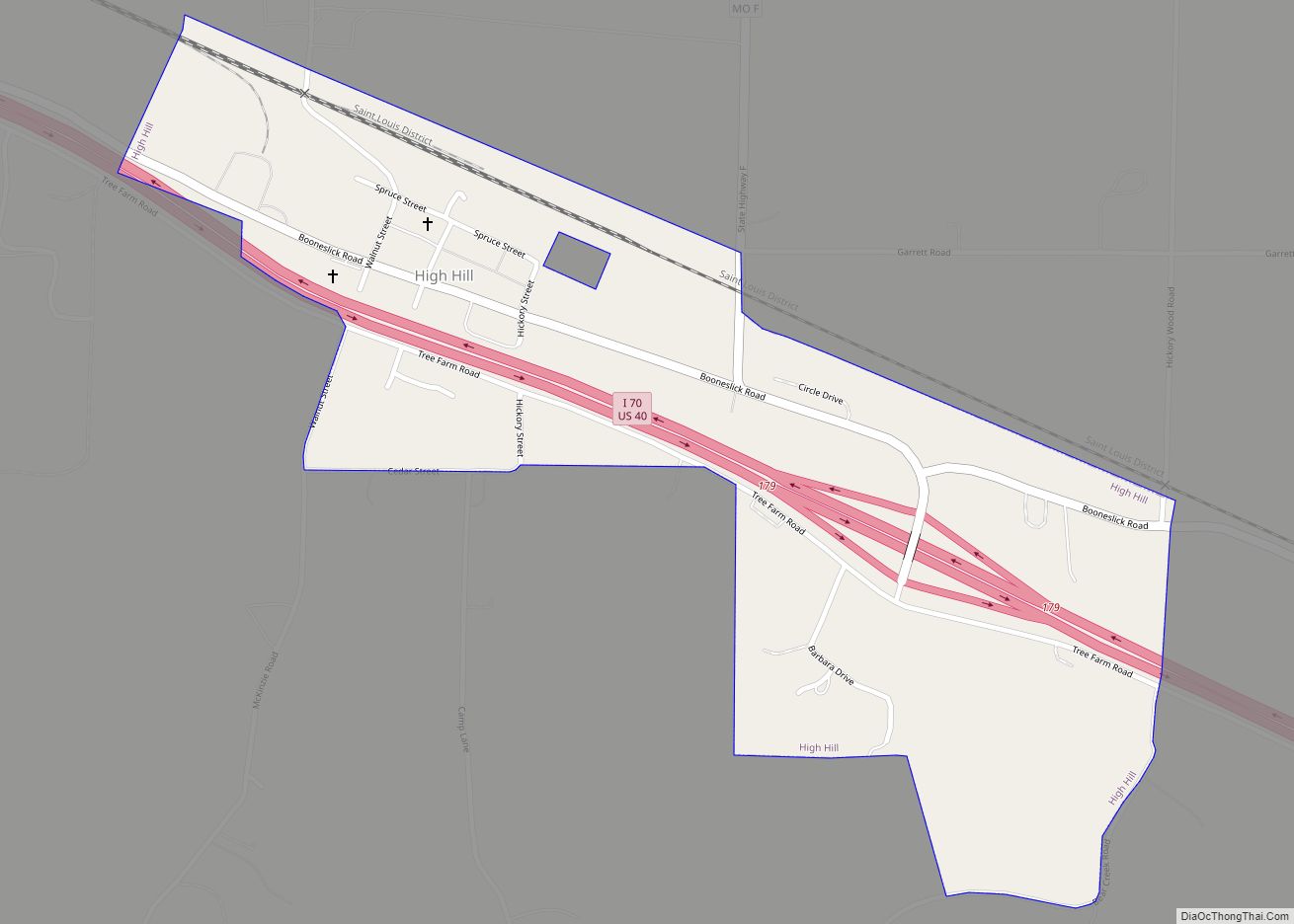
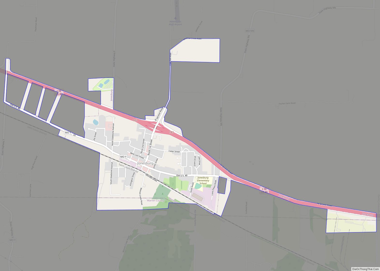
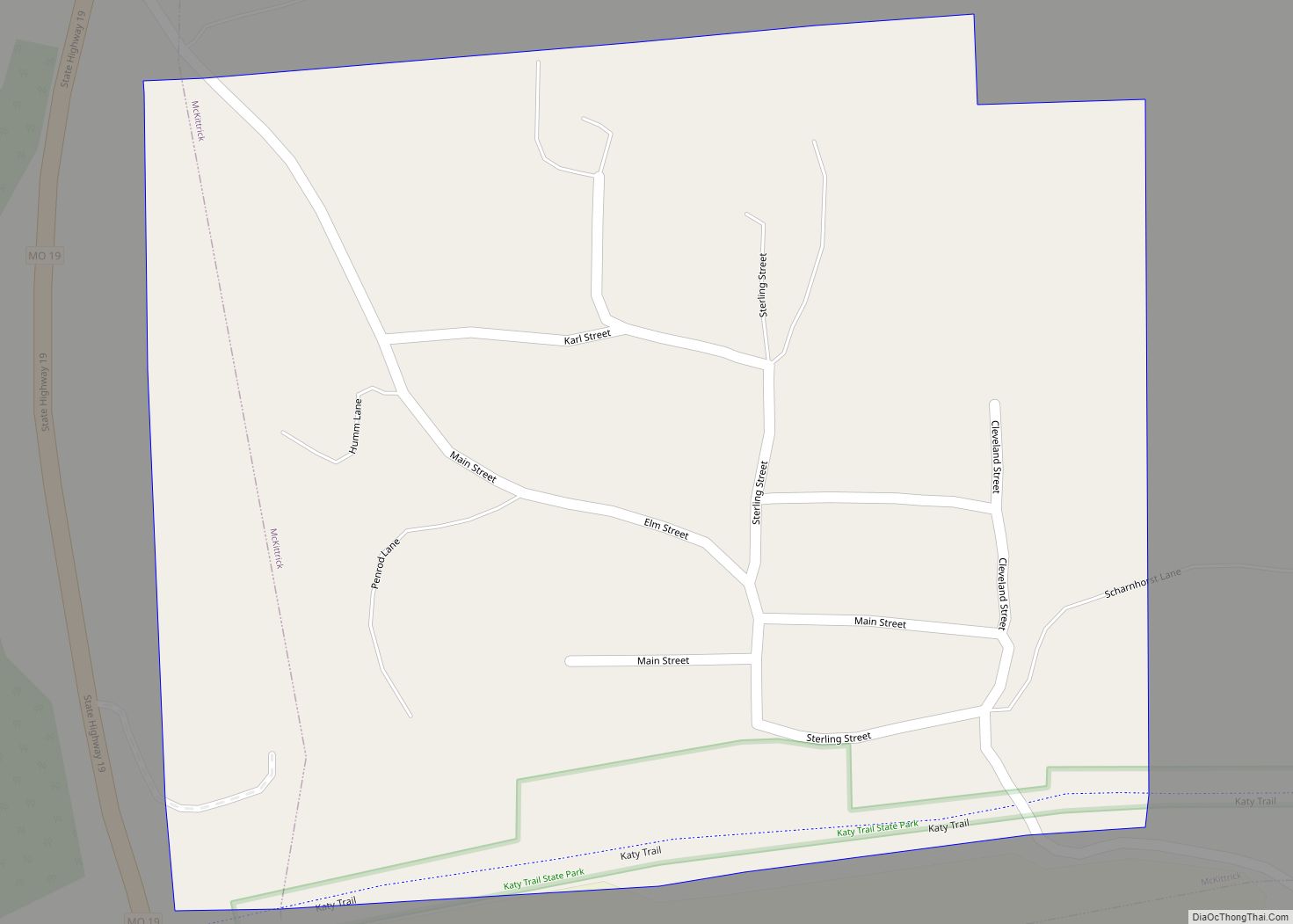
Montgomery County Road Map
Geography
According to the U.S. Census Bureau, the county has a total area of 542 square miles (1,400 km), of which 536 square miles (1,390 km) is land and 5.8 square miles (15 km) (1.1%) is water.
Adjacent counties
- Audrain County (northwest)
- Pike County (northeast)
- Lincoln County (east)
- Warren County (southeast)
- Gasconade County (south)
- Callaway County (west)
- Osage County (southwest)
Major highways
- Interstate 70
- U.S. Route 40
- Route 19
- Route 94
- Route 161
