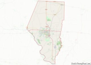
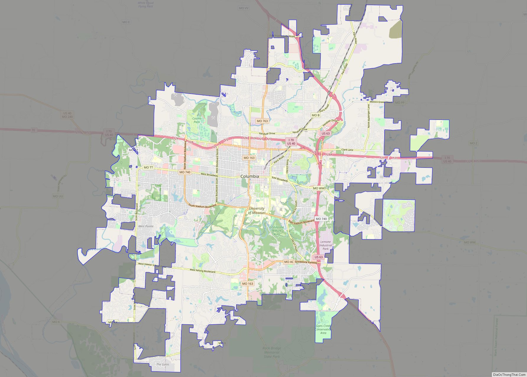
Columbia /kəˈlʌmbiə/ is a city in the U.S. state of Missouri. It is the county seat of Boone County and home to the University of Missouri. Founded in 1821, it is the principal city of the five-county Columbia metropolitan area. It is Missouri’s fourth most-populous and fastest growing city, with an estimated 128,555 residents in 2022.
As a Midwestern college town, Columbia has a reputation for progressive politics, persuasive journalism, and public art. The tripartite establishment of Stephens College (1833), the University of Missouri (1839), and Columbia College (1851), which surround the city’s Downtown to the east, south, and north, has made Columbia a center of learning. At its center is 8th Street (also known as the Avenue of the Columns), which connects Francis Quadrangle and Jesse Hall to the Boone County Courthouse and the City Hall. Originally an agricultural town, education is now Columbia’s primary economic concern, with secondary interests in the healthcare, insurance, and technology sectors; it has never been a manufacturing center. Companies like Shelter Insurance, Carfax, Veterans United Home Loans, and Slackers CDs and Games, were founded in the city. Cultural institutions include the State Historical Society of Missouri, the Museum of Art and Archaeology, and the annual True/False Film Festival and the Roots N Blues Festival. The Missouri Tigers, the state’s only major college athletic program, play football at Faurot Field and basketball at Mizzou Arena as members of the rigorous Southeastern Conference.
The city rests upon the forested hills and rolling prairies of Mid-Missouri, near the Missouri River valley, where the Ozark Mountains begin to transform into plains and savanna. Limestone forms bluffs and glades while rain dissolves the bedrock, creating caves and springs which water the Hinkson, Roche Perche, and Bonne Femme creeks. Surrounding the city, Rock Bridge Memorial State Park, Mark Twain National Forest, and Big Muddy National Fish and Wildlife Refuge form a greenbelt preserving sensitive and rare environments. The Columbia Agriculture Park is home to the Columbia Farmers Market.
The first humans who entered the area at least 12,000 years ago were nomadic hunters. Later, woodland tribes lived in villages along waterways and built mounds in high places. The Osage and Missouria nations were expelled by the exploration of French traders and the rapid settlement of American pioneers. The latter arrived by the Boone’s Lick Road and hailed from the culture of the Upland South, especially Virginia, Kentucky, and Tennessee. From 1812, the Boonslick area played a pivotal role in Missouri’s early history and the nation’s westward expansion. German, Irish, and other European immigrants soon joined. The modern populace is unusually diverse, over 8% foreign-born. White and black people are the largest ethnicities, and people of Asian descent are the third-largest group. Columbia has been known as the “Athens of Missouri” for its classic beauty and educational emphasis, but is more commonly called “CoMo”.
| Name: | Columbia city |
|---|---|
| LSAD Code: | 25 |
| LSAD Description: | city (suffix) |
| State: | Missouri |
| County: | Boone County |
| Founded: | 1821; 202 years ago (1821) |
| Incorporated: | 1826 |
| Elevation: | 761 ft (232 m) |
| Total Area: | 67.45 sq mi (174.70 km²) |
| Land Area: | 67.17 sq mi (173.98 km²) |
| Water Area: | 0.28 sq mi (0.72 km²) |
| Total Population: | 128,555 |
| Population Density: | 1,879.48/sq mi (725.67/km²) |
| Area code: | 573 |
| FIPS code: | 2915670 |
| GNISfeature ID: | 2393605 |
| Website: | www.como.gov |
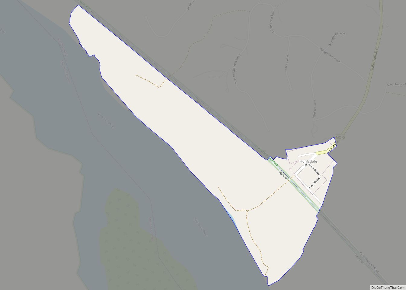
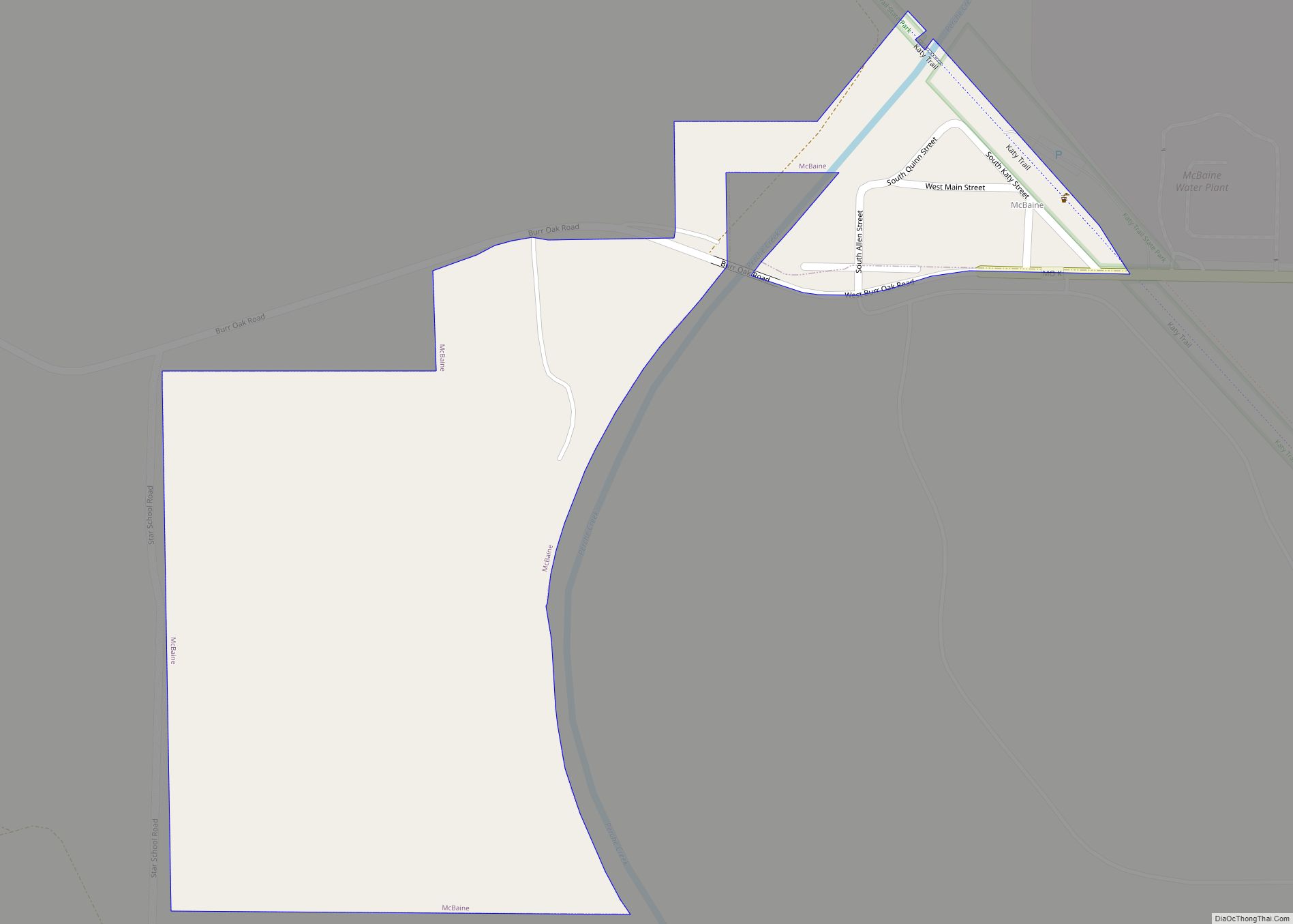
Online Interactive Map
Click on ![]() to view map in "full screen" mode.
to view map in "full screen" mode.
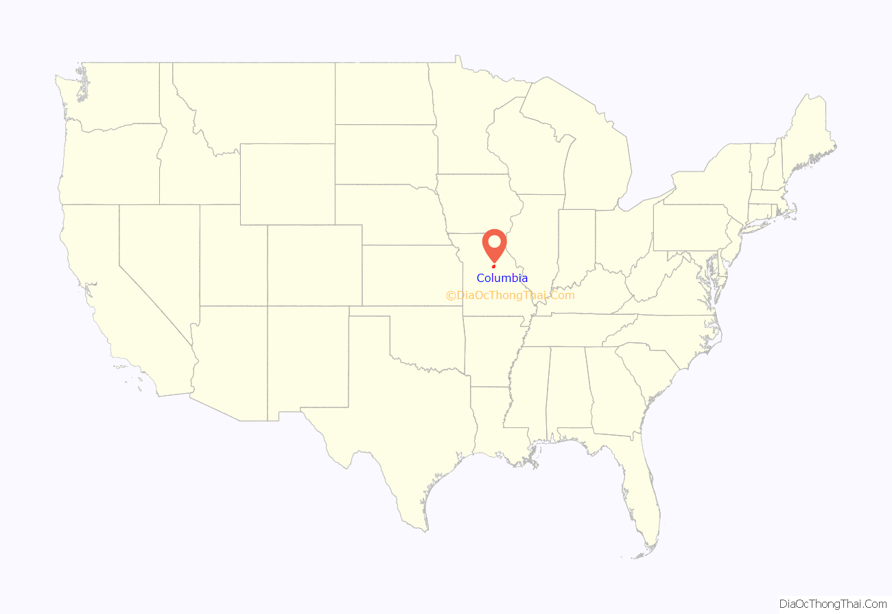
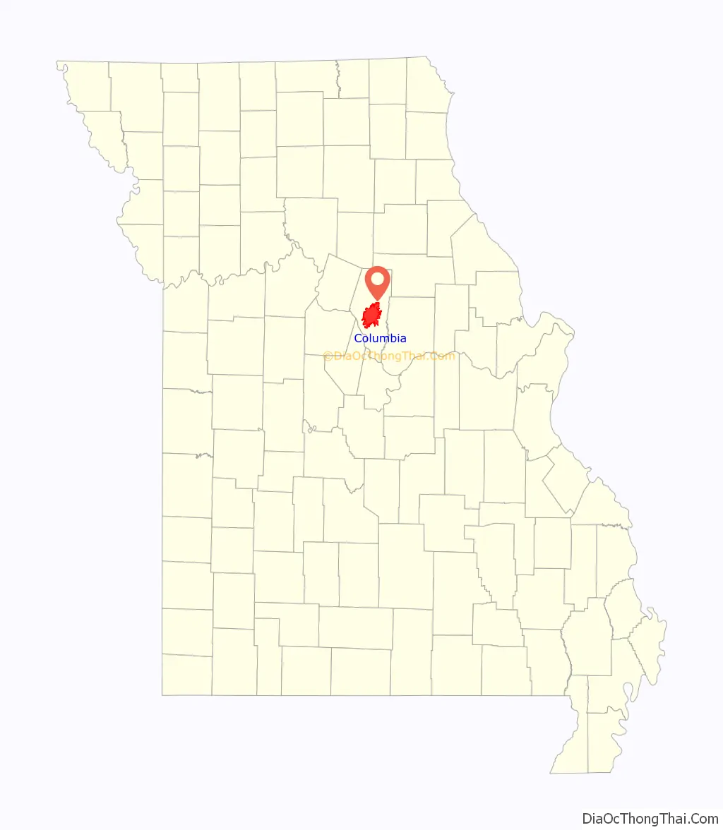
Columbia location map. Where is Columbia city?
History
Columbia’s origins begin with the settlement of American pioneers from Kentucky and Virginia in an early 1800s region known as the Boonslick. Before 1815 settlement in the region was confined to small log forts due to the threat of Native American attack during the War of 1812. When the war ended settlers came on foot, horseback, and wagon, often moving entire households along the Boone’s Lick Road and sometimes bringing enslaved African Americans. By 1818 it was clear that the increased population would necessitate a new county be created from territorial Howard County. The Moniteau Creek on the west and Cedar Creek on the east were obvious natural boundaries.
Believing it was only a matter of time before a county seat was chosen, the Smithton Land Company was formed to purchase over 2,000 acres (8.1 km) to establish the village of Smithton (near the present-day intersection of Walnut and Garth). In 1819 Smithton was a small cluster of log cabins in an ancient forest of oak and hickory; chief among them was the cabin of Richard Gentry, a trustee of the Smithton Company who would become first mayor of Columbia. In 1820, Boone County was formed and named after the recently deceased explorer Daniel Boone. The Missouri Legislature appointed John Gray, Jefferson Fulcher, Absalom Hicks, Lawrence Bass, and David Jackson as commissioners to select and establish a permanent county seat. Smithton never had more than twenty people, and it was quickly realized that well digging was difficult because of the bedrock.
Springs were discovered across the Flat Branch Creek, so in the spring of 1821 Columbia was laid out, and the inhabitants of Smithton moved their cabins to the new town. The first house in Columbia was built by Thomas Duly in 1820 at what became Fifth and Broadway. Columbia’s permanence was ensured when it was chosen as county seat in 1821 and the Boone’s Lick Road was rerouted down Broadway.
The roots of Columbia’s three economic foundations—education, medicine, and insurance— can be traced to the city’s incorporation in 1821. Original plans for the town set aside land for a state university. In 1833, Columbia Baptist Female College opened, which later became Stephens College. Columbia College, distinct from today’s and later to become the University of Missouri, was founded in 1839. When the state legislature decided to establish a state university, Columbia raised three times as much money as any competing city, and James S. Rollins donated the land that is today the Francis Quadrangle. Soon other educational institutions were founded in Columbia, such as Christian Female College, the first college for women west of the Mississippi, which later became Columbia College.
The city benefited from being a stagecoach stop of the Santa Fe and Oregon trails, and later from the Missouri–Kansas–Texas Railroad. In 1822, William Jewell set up the first hospital. In 1830, the first newspaper began; in 1832, the first theater in the state was opened; and in 1835, the state’s first agricultural fair was held. By 1839, the population of 13,000 and wealth of Boone County was exceeded in Missouri only by that of St. Louis County, which, at that time, included the City of St. Louis.
Columbia’s infrastructure was relatively untouched by the Civil War. As a slave state, Missouri had many residents with Southern sympathies, but it stayed in the Union. The majority of the city was pro-Union; however, the surrounding agricultural areas of Boone County and the rest of central Missouri were decidedly pro-Confederate. Because of this, the University of Missouri became a base from which Union troops operated. No battles were fought within the city because the presence of Union troops dissuaded Confederate guerrillas from attacking, though several major battles occurred at nearby Boonville and Centralia.
After Reconstruction, race relations in Columbia followed the Southern pattern of increasing violence of whites against blacks in efforts to suppress voting and free movement: George Burke, a black man who worked at the university, was lynched in 1889. In the spring of 1923, James T. Scott, an African-American janitor at the University of Missouri, was arrested on allegations of raping a university professor’s daughter. He was taken from the county jail and lynched on April 29 before a white mob of roughly two thousand people, hanged from the Old Stewart Road Bridge.
In the 21st century, a number of efforts have been undertaken to recognize Scott’s death. In 2010 his death certificate was changed to reflect that he was never tried or convicted of charges, and that he had been lynched. In 2011 a headstone was put at his grave at Columbia Cemetery; it includes his wife’s and parents’ names and dates, to provide a fuller account of his life. In 2016, a marker was erected at the lynching site to memorialize Scott. In 1901, Rufus Logan established The Columbia Professional newspaper to serve Columbia’s large African American population.
In 1963, University of Missouri System and the Columbia College system established their headquarters in Columbia. The insurance industry also became important to the local economy as several companies established headquarters in Columbia, including Shelter Insurance, Missouri Employers Mutual, and Columbia Insurance Group. State Farm Insurance has a regional office in Columbia. In addition, the now-defunct Silvey Insurance was a large local employer.
Columbia became a transportation crossroads when U.S. Route 63 and U.S. Route 40 (which was improved as present-day Interstate 70) were routed through the city. Soon after, the city opened the Columbia Regional Airport. By 2000, the city’s population was nearly 85,000.
In 2017, Columbia was in the path of totality for the Solar eclipse of August 21, 2017. The city was expecting upwards of 400,000 tourists coming to view the eclipse.
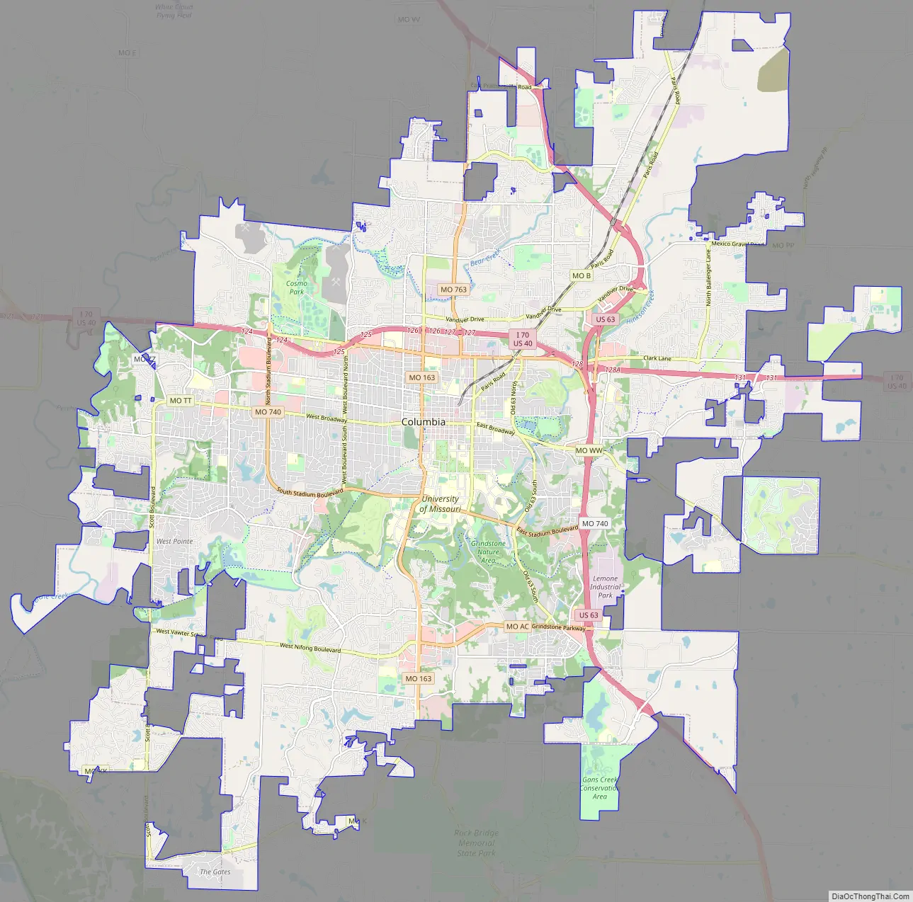
Columbia Road Map
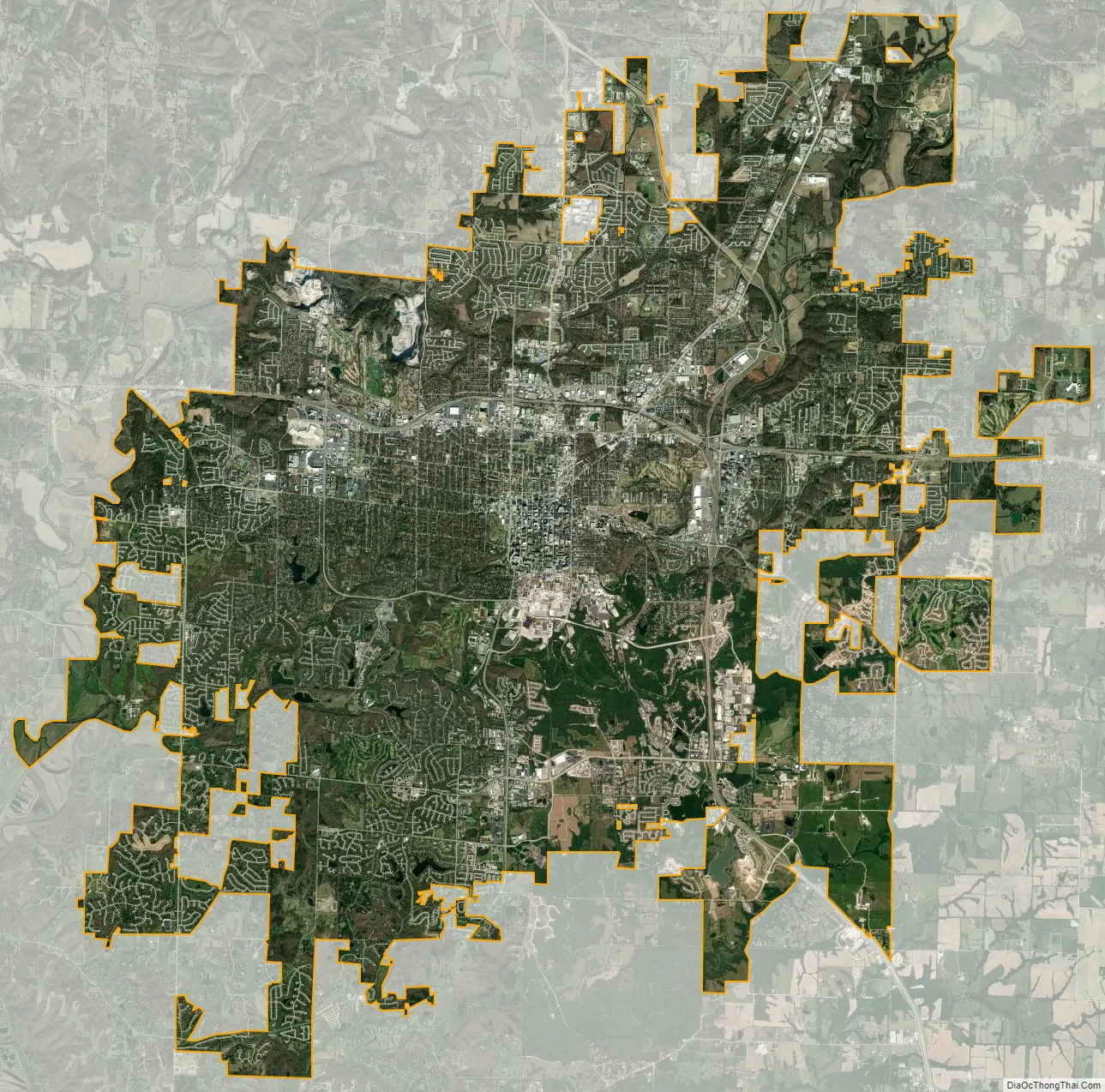
Columbia city Satellite Map
Geography
Columbia, in northern mid-Missouri, is 120 miles (190 km) away from both St. Louis and Kansas City, and 29 miles (47 km) north of the state capital of Jefferson City. The city is near the Missouri River, between the Ozark Plateau and the Northern Plains.
According to the United States Census Bureau, the city has a total area of 67.45 square miles (174.69 km), of which 67.17 square miles (173.97 km) is land and 0.28 square miles (0.73 km) is water.
Topography
The city generally slopes from the highest point in the Northeast to the lowest point in the Southwest towards the Missouri River. Prominent tributaries of the river are Perche Creek, Hinkson Creek, and Flat Branch Creek. Along these and other creeks in the area can be found large valleys, cliffs, and cave systems such as that in Rock Bridge State Park just south of the city. These creeks are largely responsible for numerous stream valleys giving Columbia hilly terrain similar to the Ozarks while also having prairie flatland typical of northern Missouri. Columbia also operates several greenbelts with trails and parks throughout town.
Animal life
Large mammals found in the city include urbanized coyotes, red foxes, and numerous whitetail deer. Eastern gray squirrel, and other rodents are abundant, as well as cottontail rabbits and the nocturnal opossum and raccoon. Large bird species are abundant in parks and include the Canada goose, mallard duck, as well as shorebirds, including the great egret and great blue heron. Turkeys are also common in wooded areas and can occasionally be seen on the MKT recreation trail. Populations of bald eagles are found by the Missouri River. The city is on the Mississippi Flyway, used by migrating birds, and has a large variety of small bird species, common to the eastern U.S. The Eurasian tree sparrow, an introduced species, is limited in North America to the counties surrounding St. Louis. Columbia has large areas of forested and open land and many of these areas are home to wildlife.
Climate
Columbia has a humid continental climate (Köppen Dfa) marked by sharp seasonal contrasts in temperature, and is in USDA Plant Hardiness Zone 6a. The monthly daily average temperature ranges from 31.0 °F (−0.6 °C) in January to 78.5 °F (25.8 °C) in July, while the high reaches or exceeds 90 °F (32 °C) on an average of 35 days per year, 100 °F (38 °C) on two days, while two nights of sub-0 °F (−18 °C) lows can be expected. Precipitation tends to be greatest and most frequent in the latter half of spring, when severe weather is also most common. Snow averages 16.5 inches (42 cm) per season, mostly from December to March, with occasional November accumulation and falls in April being rarer; historically seasonal snow accumulation has ranged from 3.4 in (8.6 cm) in 2005–06 to 54.9 in (139 cm) in 1977–78. Extreme temperatures have ranged from −26 °F (−32 °C) on February 12, 1899 to 113 °F (45 °C) on July 12 and 14, 1954. Readings of −10 °F (−23 °C) or 105 °F (41 °C) are uncommon, the last occurrences being January 7, 2014 and July 31, 2012.
See also
Map of Missouri State and its subdivision:- Adair
- Andrew
- Atchison
- Audrain
- Barry
- Barton
- Bates
- Benton
- Bollinger
- Boone
- Buchanan
- Butler
- Caldwell
- Callaway
- Camden
- Cape Girardeau
- Carroll
- Carter
- Cass
- Cedar
- Chariton
- Christian
- Clark
- Clay
- Clinton
- Cole
- Cooper
- Crawford
- Dade
- Dallas
- Daviess
- De Kalb
- Dent
- Douglas
- Dunklin
- Franklin
- Gasconade
- Gentry
- Greene
- Grundy
- Harrison
- Henry
- Hickory
- Holt
- Howard
- Howell
- Iron
- Jackson
- Jasper
- Jefferson
- Johnson
- Knox
- Laclede
- Lafayette
- Lawrence
- Lewis
- Lincoln
- Linn
- Livingston
- Macon
- Madison
- Maries
- Marion
- McDonald
- Mercer
- Miller
- Mississippi
- Moniteau
- Monroe
- Montgomery
- Morgan
- New Madrid
- Newton
- Nodaway
- Oregon
- Osage
- Ozark
- Pemiscot
- Perry
- Pettis
- Phelps
- Pike
- Platte
- Polk
- Pulaski
- Putnam
- Ralls
- Randolph
- Ray
- Reynolds
- Ripley
- Saint Charles
- Saint Clair
- Saint Francois
- Saint Louis
- Sainte Genevieve
- Saline
- Schuyler
- Scotland
- Scott
- Shannon
- Shelby
- Stoddard
- Stone
- Sullivan
- Taney
- Texas
- Vernon
- Warren
- Washington
- Wayne
- Webster
- Worth
- Wright
- Alabama
- Alaska
- Arizona
- Arkansas
- California
- Colorado
- Connecticut
- Delaware
- District of Columbia
- Florida
- Georgia
- Hawaii
- Idaho
- Illinois
- Indiana
- Iowa
- Kansas
- Kentucky
- Louisiana
- Maine
- Maryland
- Massachusetts
- Michigan
- Minnesota
- Mississippi
- Missouri
- Montana
- Nebraska
- Nevada
- New Hampshire
- New Jersey
- New Mexico
- New York
- North Carolina
- North Dakota
- Ohio
- Oklahoma
- Oregon
- Pennsylvania
- Rhode Island
- South Carolina
- South Dakota
- Tennessee
- Texas
- Utah
- Vermont
- Virginia
- Washington
- West Virginia
- Wisconsin
- Wyoming