Montgomery County is a county located in the Valley and Ridge area of the U.S. state of Virginia. As population in the area increased, Montgomery County was formed in 1777 from Fincastle County, which in turn had been taken from Botetourt County. As of the 2020 census, the population was 99,721. Its county seat is Christiansburg, and Blacksburg is the largest town. Montgomery County is part of the Blacksburg-Christiansburg metropolitan area. It is dominated economically by the presence of Virginia Tech, Virginia’s third largest public university, which is the county’s largest employer.
| Name: | Montgomery County |
|---|---|
| FIPS code: | 51-121 |
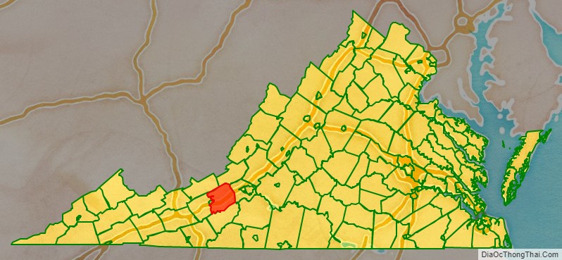
| State: | Virginia |
| Founded: | 1772 |
| Named for: | Richard Montgomery |
| Seat: | Christiansburg |
| Largest town: | Blacksburg |
| Total Area: | 389 sq mi (1,010 km²) |
| Land Area: | 387 sq mi (1,000 km²) |
| Total Population: | 99,721 |
| Population Density: | 256/sq mi (99/km²) |
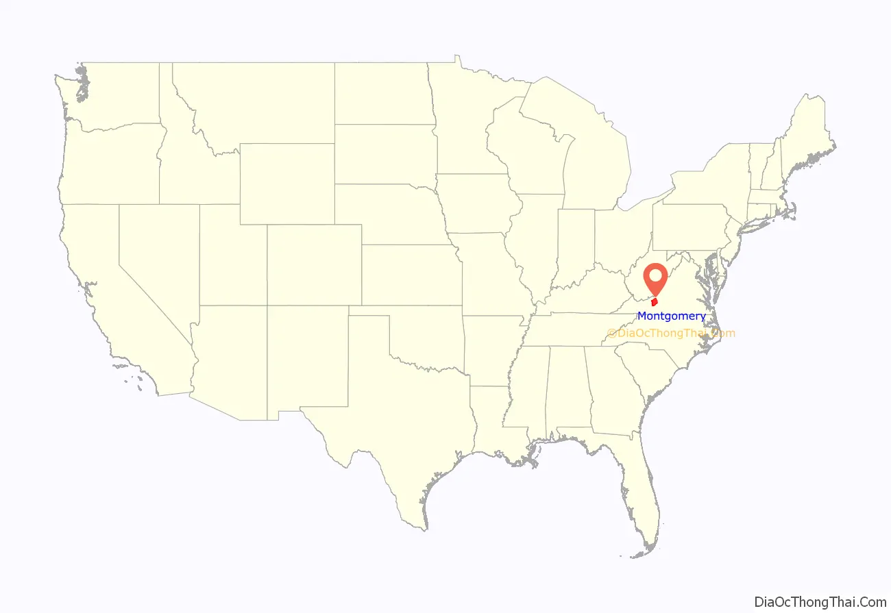
Montgomery County location map. Where is Montgomery County?
History
Montgomery County was established on December 31, 1776, made from parts of Fincastle County, which was disbanded at this time and split into Montgomery, Washington, and Kentucky counties. Later, Montgomery lost land to form counties which now border it, including some counties which later formed West Virginia.
The county is named for Richard Montgomery, an American Revolutionary War general killed in 1775 while attempting to capture Quebec City, Canada.
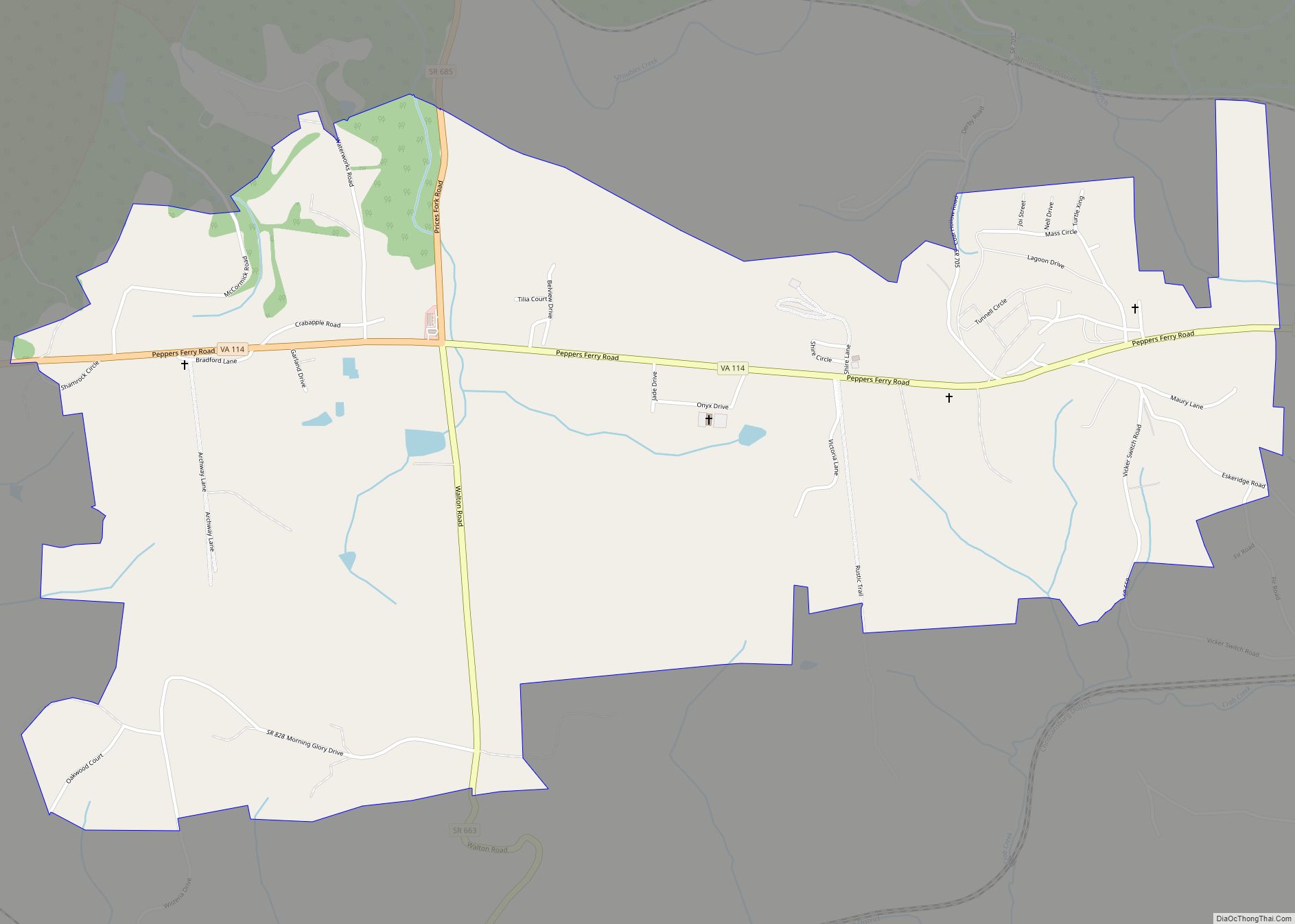
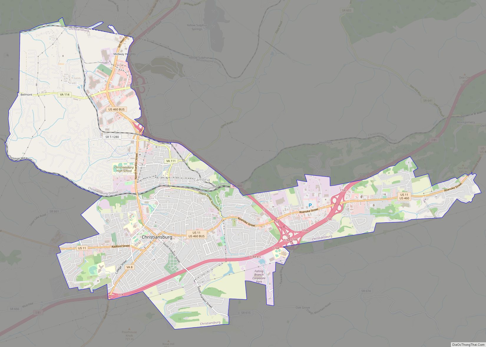
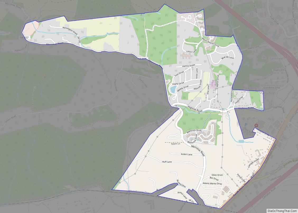
Montgomery County Road Map
Geography
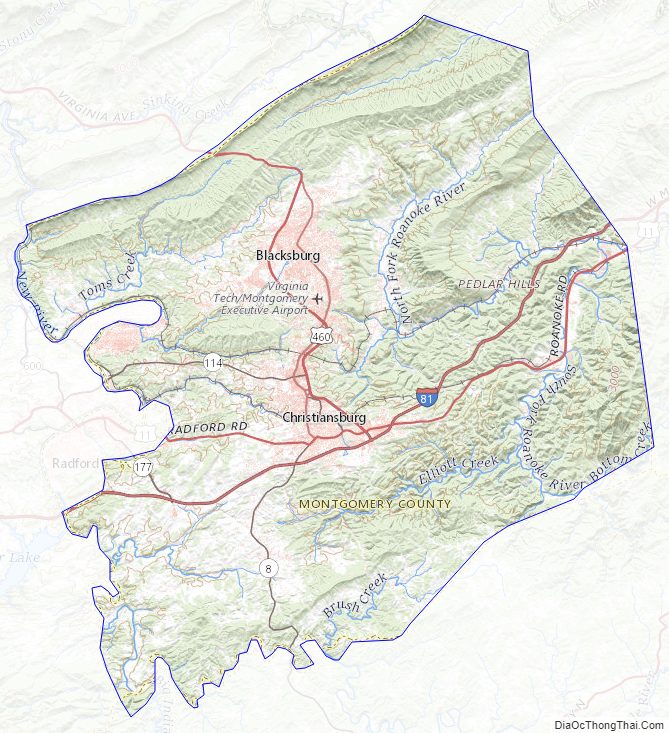
According to the U.S. Census Bureau, the county has a total area of 389 square miles (1,010 km), of which 387 square miles (1,000 km) is land and 2.2 square miles (5.7 km) (0.6%) is water. The western part of the county is in the New River watershed.
Adjacent counties and city
- Craig County – Northeast
- Giles County – Northwest
- City of Radford – West
- Pulaski County – Southwest
- Floyd County – South
- Roanoke County – East
National protected area
- Jefferson National Forest (part)
Major highways
- Future I-73
- I-81
- US 11
- US 460
- SR 8
- SR 111
- SR 114
- SR 177
- SR 232
- SR 314
- SR 412
U.S. Bicycle Route
- USBR 76 enters Montgomery County from Radford and crosses the county for 27.9 miles to Roanoke County
Montgomery County Topographic Map
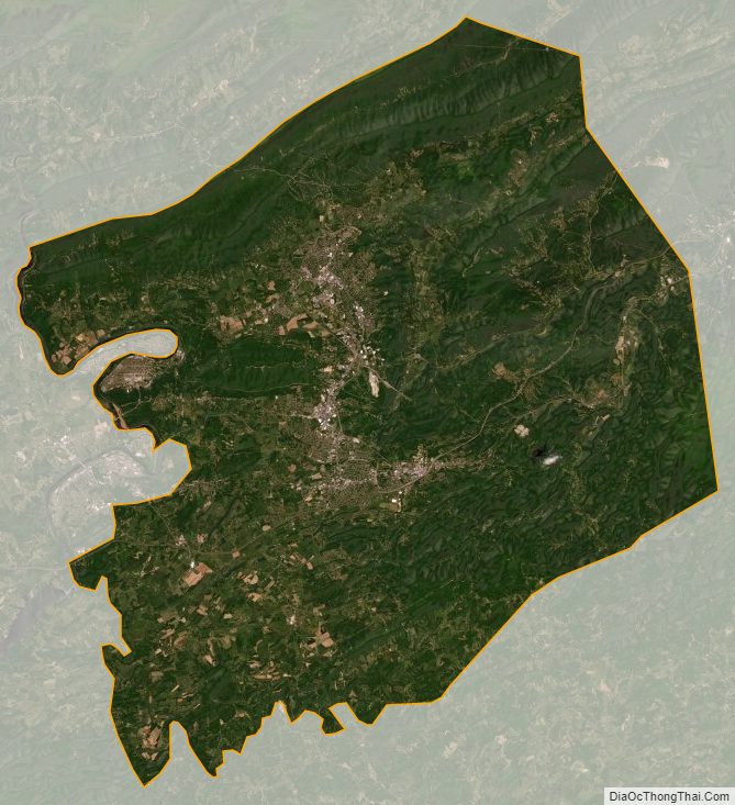
Montgomery County Satellite Map
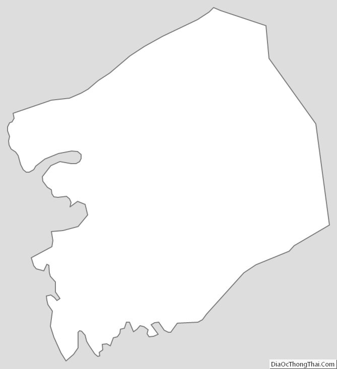
Montgomery County Outline Map