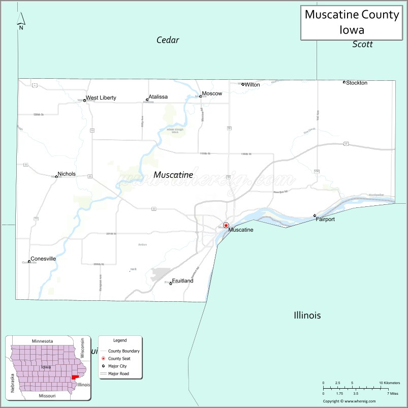
Muscatine County is a county located in the U.S. state of Iowa. As of the 2020 census, the population was 43,235. The county seat is Muscatine. The southeastern border is formed by the Mississippi River.
Muscatine County comprises the Muscatine, IA Micropolitan Statistical Area, which is included in the Davenport–Moline, IA-IL Combined Statistical Area.
| Name: | Muscatine County |
|---|---|
| FIPS code: | 19-139 |
| State: | Iowa |
| Founded: | December 7, 1836 |
| Named for: | Mascouten tribe |
| Seat: | Muscatine |
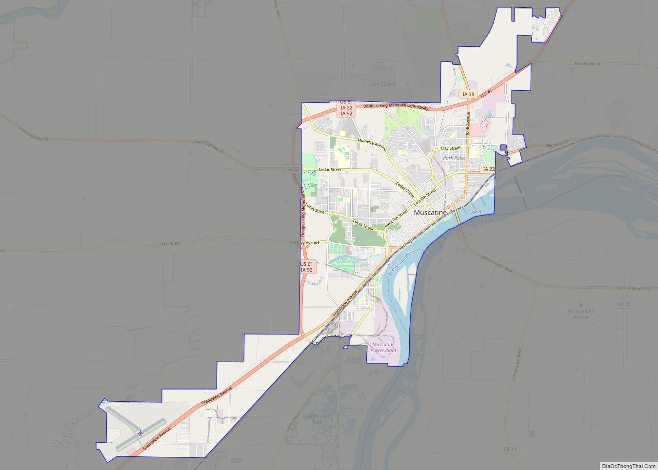
| Largest city: | Muscatine |
| Total Area: | 449 sq mi (1,160 km²) |
| Land Area: | 437 sq mi (1,130 km²) |
| Total Population: | 43,235 |
| Population Density: | 96/sq mi (37/km²) |
| Time zone: | UTC−6 (Central) |
| Summer Time Zone (DST): | UTC−5 (CDT) |
| Website: | www.muscatinecountyiowa.gov |
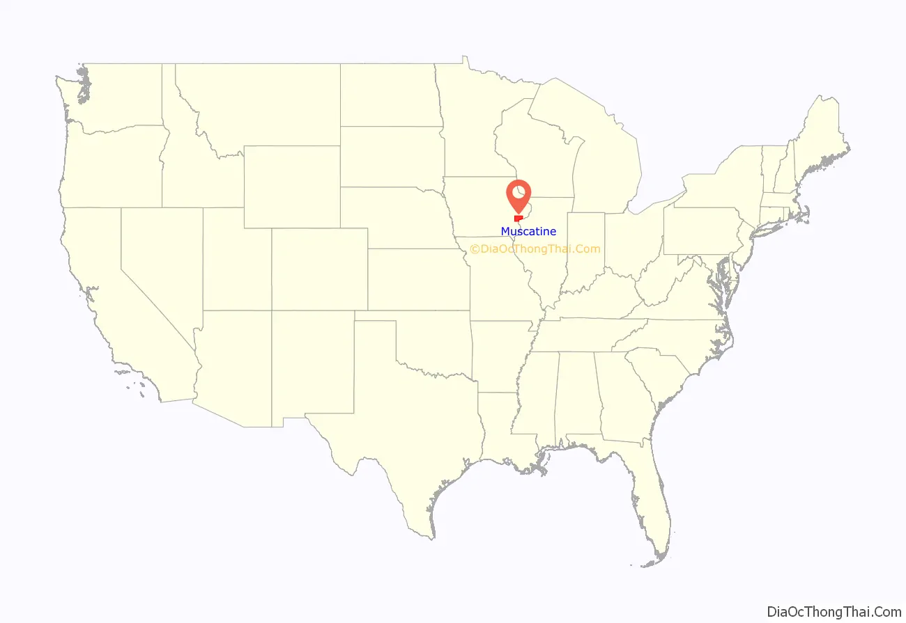
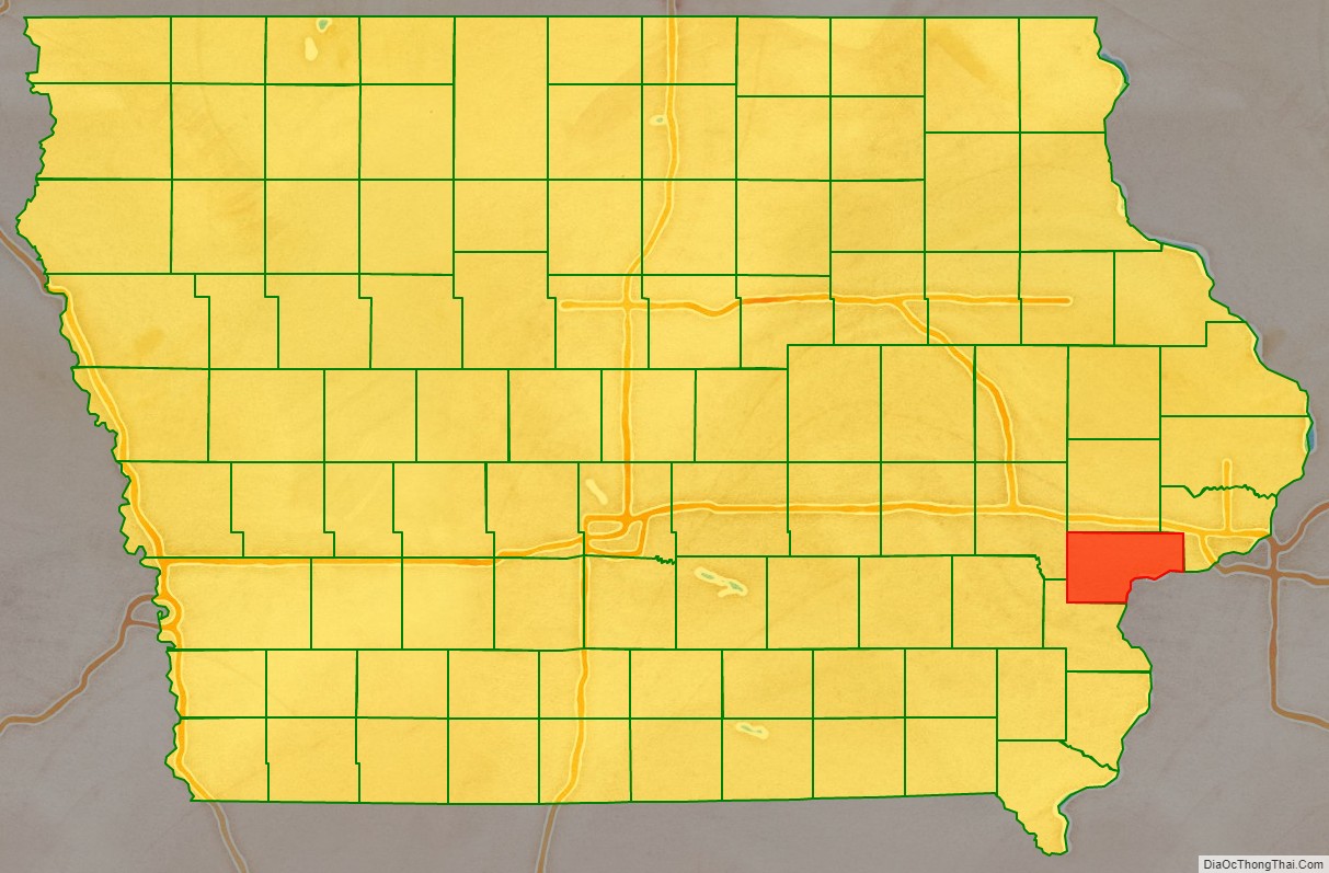
Muscatine County location map. Where is Muscatine County?
History
Muscatine County was formed in December 1836 as a part of Wisconsin Territory, partitioned from Des Moines County, which had been organized two years previously. One history suggests that the county was named for Muscatine Island in the Mississippi River. The island lies opposite Muscatine County and was believed to be named after the Mascouten tribe, Algonquian-speaking Native Americans who lived in the area before being driven west by settler encroachment and other tribes.
Colonel George Davenport of Illinois sent three representatives into the territory in 1833 to establish a trade post. They were the first European Americans to settle there. In the same year, James W. Casey and John Vanatta came to the area. They opened a supply depot for steamboats on June 1, 1833, and named it Casey’s Woodpile (since steamboats used wood as fuel). Muscatine County became part of Iowa Territory on July 4, 1838, when it was established by partitioning the area from Wisconsin Territory. The first public land sale was held in November 1838. One year later, officials began construction of the first courthouse and associated jail. A second jail, known as the “Old Jail”, was built in 1857.
The first courthouse was destroyed by fire on December 23, 1864. By 1866 a replacement stood on the same site. The present courthouse opened on September 26, 1907.
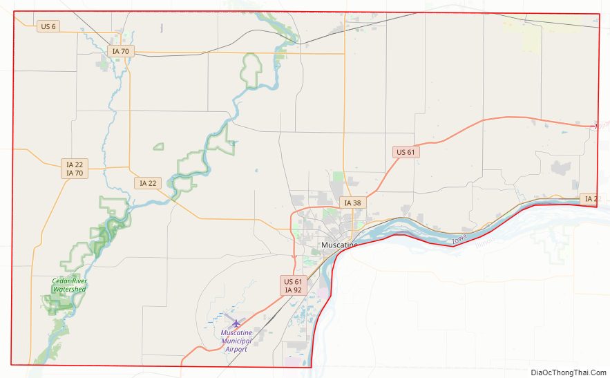
Muscatine County Road Map
Geography
According to the US Census Bureau, the county has a total area of 449 square miles (1,160 km), of which 437 square miles (1,130 km) is land and 12 square miles (31 km) (2.6%) is water.
Adjacent counties
- Cedar County (north)
- Johnson County (northwest)
- Louisa County (south, southwest)
- Rock Island County, Illinois (east), across the Mississippi River
- Scott County (northeast)
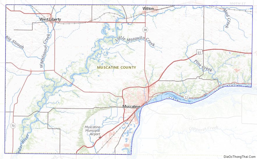
Muscatine County Topographic Map
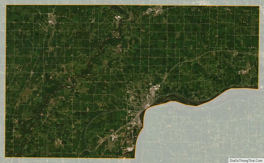
Muscatine County Satellite Map
Muscatine County Outline Map