Natrona County is a county in the U.S. state of Wyoming. As of the 2020 United States Census, the population was 79,955, making it the second-most populous county in Wyoming. Its county seat is Casper.
Natrona County comprises the Casper, WY Metropolitan Statistical Area.
In 2010, the center of population of Wyoming was in Natrona County, near Alcova.
| Name: | Natrona County |
|---|---|
| FIPS code: | 56-025 |
| State: | Wyoming |
| Named for: | Natron deposits |
| Seat: | Casper |
| Largest city: | Casper |
| Total Area: | 5,376 sq mi (13,920 km²) |
| Land Area: | 5,340 sq mi (13,800 km²) |
| Total Population: | 79,955 |
| Population Density: | 15/sq mi (5.7/km²) |
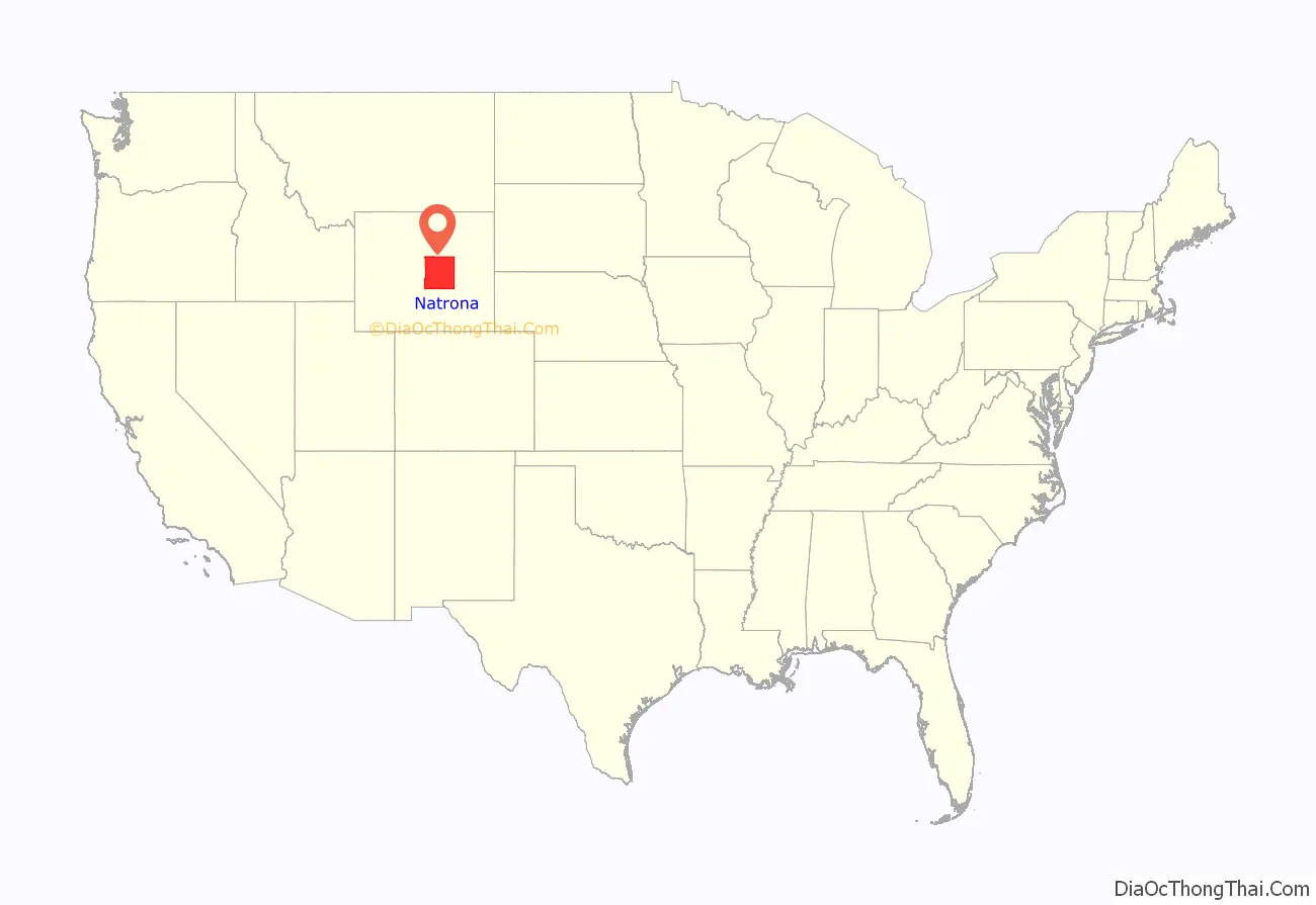
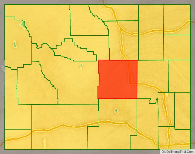
Natrona County location map. Where is Natrona County?
History
Prior to Wyoming’s settlement by European-based populations, the area’s stretches played host to nomadic tribes such as Cheyenne, Arapaho, Shoshone, and Sioux.
New York investor John Jacob Astor established the settlement of Astoria on the Columbia River, and sent Robert Stuart eastward to blaze a trail and lay the foundation of a string of trading posts. Stuart documented the South Pass Route through the Continental Divide, near the SW corner of present-day Natrona County. Stuart’s company erected the first hut in the area in 1812, near present-day Bessemer Bend.
In 1840, Father Pierre-Jean De Smet began preaching the Christian teaching to this area’s indigenous peoples. He carved his name on Independence Rock and called it The Register of the Desert. Later explorers who inscribed the rock include John C. Frémont (1843), who explored the country along the Platte and Sweetwater Rivers.
The first Euro-American settlement occurred in the Casper area in the late 19th century. Natrona County was created by the legislature of the Wyoming Territory on March 9, 1888, and it was organized in 1890. The land for Natrona County was annexed from Carbon County.
Natrona County was named for the deposits of natron found in the area. According to George Mitchell, first mayor of Casper and member of the organization commission for Natrona County, the name was first suggested “by my old friend the late Cy Iba, who at one time owned the soda lakes.” In 1909, Natrona County gained land from Fremont County. The boundaries were adjusted slightly in 1911 and 1931, and at that point the county gained its present outline.
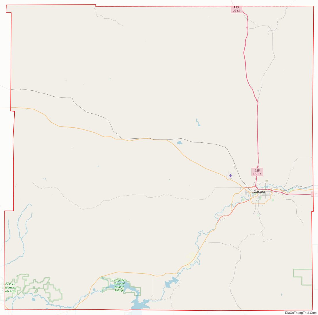
Natrona County Road Map
Geography
According to the U.S. Census Bureau, the county has an area of 5,376 square miles (13,920 km), of which 5,340 square miles (13,800 km) is land and 35 square miles (91 km) (0.7%) is water.
Geographic features
- Casper Mountain
- Devil’s Gate
- Hell’s Half Acre
- Independence Rock
- Martin’s Cove
- Teapot Rock
Adjacent counties
- Johnson County – north
- Converse County – east
- Albany County – southeast
- Carbon County – south
- Fremont County – west
- Washakie County – northwest
Major Highways
- Interstate 25
- I-25 BL
- U.S. Highway 20
- U.S. Highway 26
- U.S. Highway 87
- U.S. Highway 287
- Wyoming Highway 220
- Wyoming Highway 251
- Wyoming Highway 252
- Wyoming Highway 253
- Wyoming Highway 256
- Wyoming Highway 257
- Wyoming Highway 258
- Wyoming Highway 259
- Wyoming Highway 387
- Wyoming Highway 487
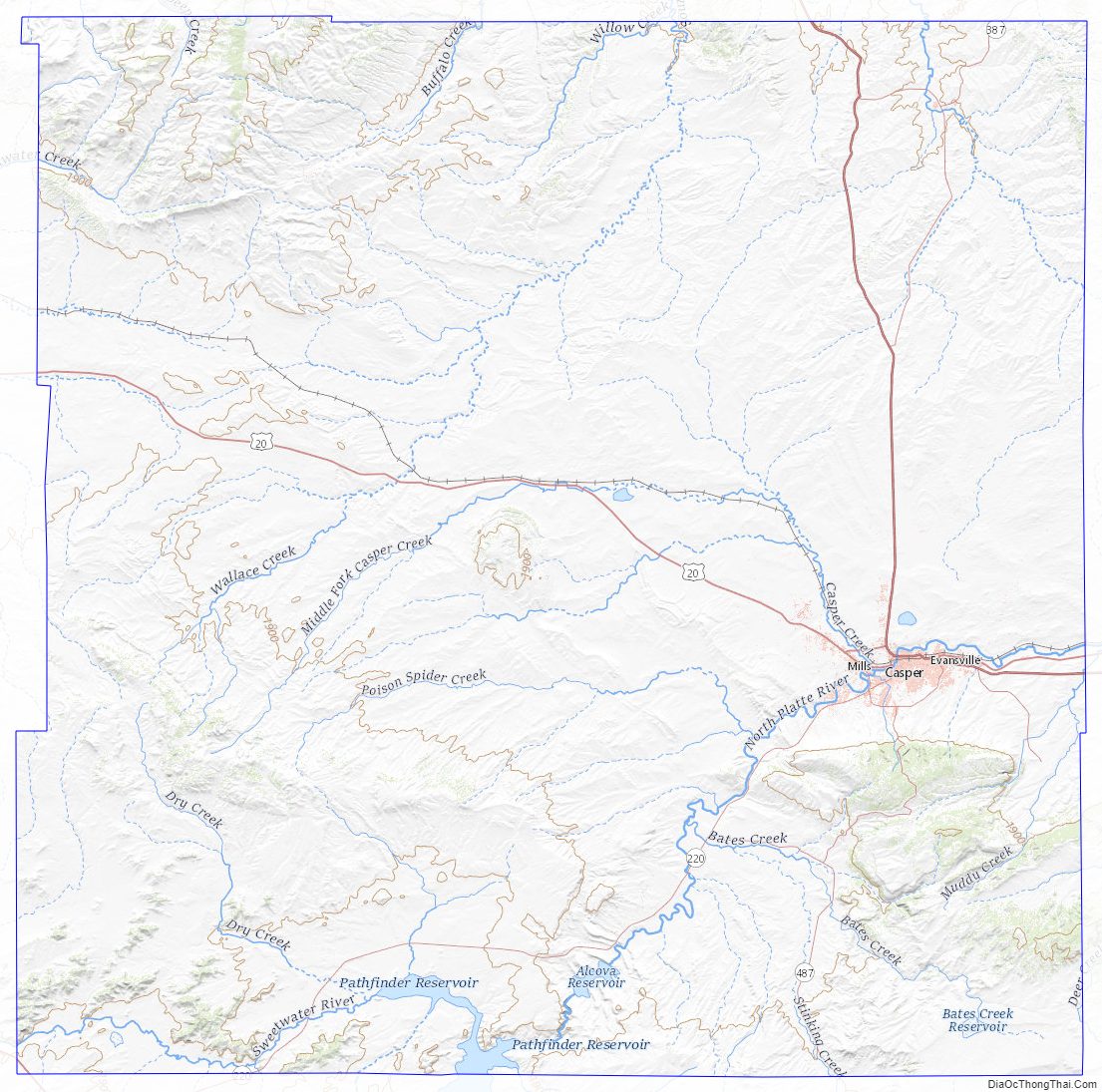
Natrona County Topographic Map
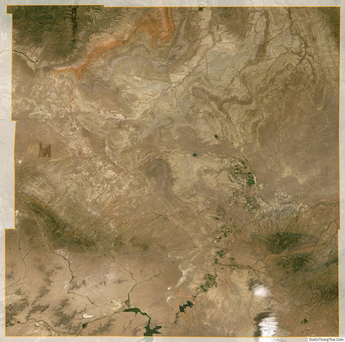
Natrona County Satellite Map
Natrona County Outline Map

See also
Map of Wyoming State and its subdivision: Map of other states:- Alabama
- Alaska
- Arizona
- Arkansas
- California
- Colorado
- Connecticut
- Delaware
- District of Columbia
- Florida
- Georgia
- Hawaii
- Idaho
- Illinois
- Indiana
- Iowa
- Kansas
- Kentucky
- Louisiana
- Maine
- Maryland
- Massachusetts
- Michigan
- Minnesota
- Mississippi
- Missouri
- Montana
- Nebraska
- Nevada
- New Hampshire
- New Jersey
- New Mexico
- New York
- North Carolina
- North Dakota
- Ohio
- Oklahoma
- Oregon
- Pennsylvania
- Rhode Island
- South Carolina
- South Dakota
- Tennessee
- Texas
- Utah
- Vermont
- Virginia
- Washington
- West Virginia
- Wisconsin
- Wyoming