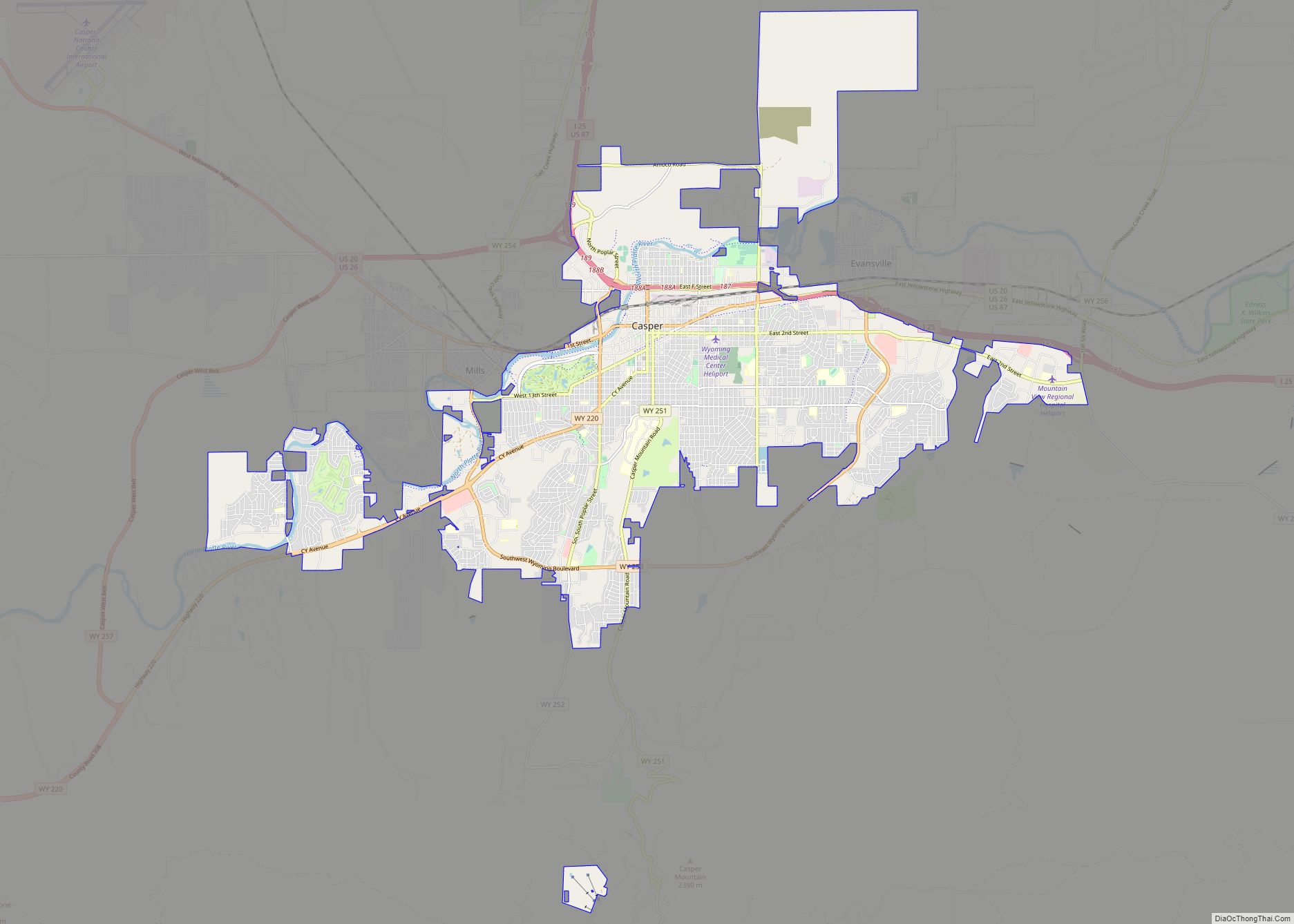
Casper is a city in, and the county seat of, Natrona County, Wyoming, United States. Casper is the second-largest city in the state, with the population at 59,038 as of the 2020 census. Only Cheyenne, the state capital, is larger. Casper is nicknamed “The Oil City” and has a long history of oil boomtown and cowboy culture, dating back to the development of the nearby Salt Creek Oil Field.
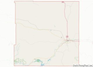
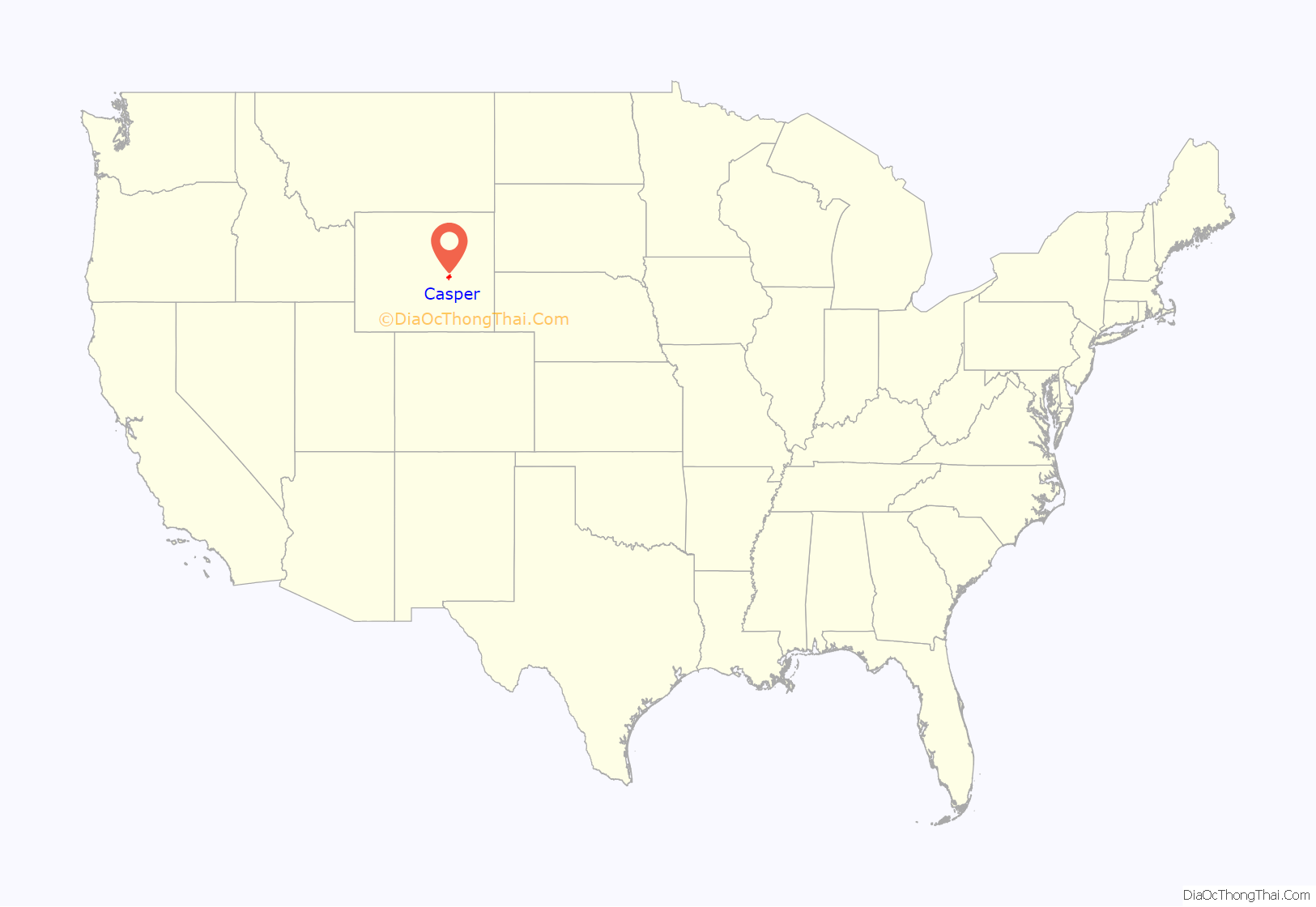
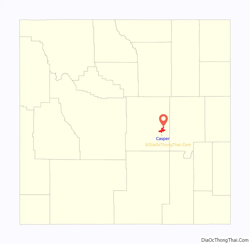
Casper is located in east central Wyoming.
| Name: | Casper city |
|---|---|
| LSAD Code: | 25 |
| LSAD Description: | city (suffix) |
| State: | Wyoming |
| County: | Natrona County |
| Elevation: | 5,150 ft (1,560 m) |
| Land Area: | 26.55 sq mi (68.76 km²) |
| Water Area: | 0.33 sq mi (0.86 km²) |
| Population Density: | 2,182.21/sq mi (842.55/km²) |
| Area code: | 307 |
| FIPS code: | 5613150 |
| GNISfeature ID: | 1586424 |
| Website: | casperwy.gov |
Online Interactive Map
Click on ![]() to view map in "full screen" mode.
to view map in "full screen" mode.
Casper location map. Where is Casper city?
History
The city was established east of the former site of Fort Caspar, which was built during the mid-19th century mass migration of land seekers along the Oregon, California and Mormon trails. The area was the location of several ferries that offered passage across the North Platte River in the early 1840s. In 1859, Louis Guinard built a bridge and trading post near the original ferry locations.
The government soon posted a military garrison nearby to protect telegraph and mail service. It was under the command of Lieutenant Colonel William O. Collins. Native American attacks increased after the Sand Creek Massacre in Colorado in 1864, bringing more troops to the post, which was by now called Platte Bridge Station. In July 1865, Lieutenant Caspar Collins (the son of Colonel Collins) was killed near the post by a group of Indian warriors. Three months later the garrison was renamed Fort Caspar after Lieutenant Collins. In 1867, the troops were ordered to abandon Fort Caspar in favor of Fort Fetterman downstream on the North Platte along the Bozeman Trail.
The town of Casper itself was settled in 1887 and incorporated a year later, well after the fort had been closed. The city was founded by developers as an anticipated stopping point during the expansion of the Wyoming Central Railway; it was an early commercial rival to Bessemer and Douglas, Wyoming. The lack of a railhead doomed Bessemer in favor of Casper. Douglas, also a railhead, survives to the present day. The presence of a railhead made Casper the starting off point for the “invaders” in the Johnson County War. The special chartered train carrying the men up from Texas stopped at Casper. The town is named “Casper”, instead of “Caspar”, honoring the memory of Fort Caspar and Lt. Caspar Collins, due to a typo that occurred when the town’s name was officially registered.
A site a few miles east was planned to be the original site of Casper, where a homesteader named Joshua Stroud lived prior to a station of the Chicago and North Western Railway being built. The site was laid out by the Pioneer Town Site Company in 1888 and was known as Strouds.
The city received a significant number of visitors during the solar eclipse of August 21, 2017, due to its position along the path of totality.
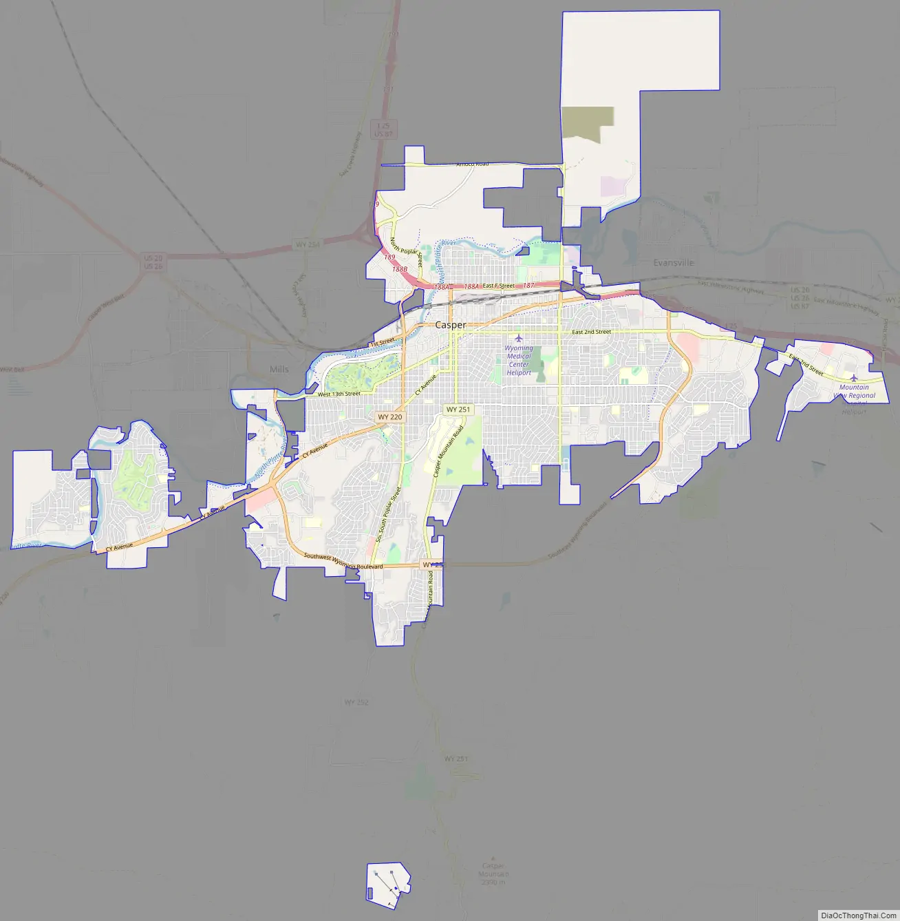
Casper Road Map
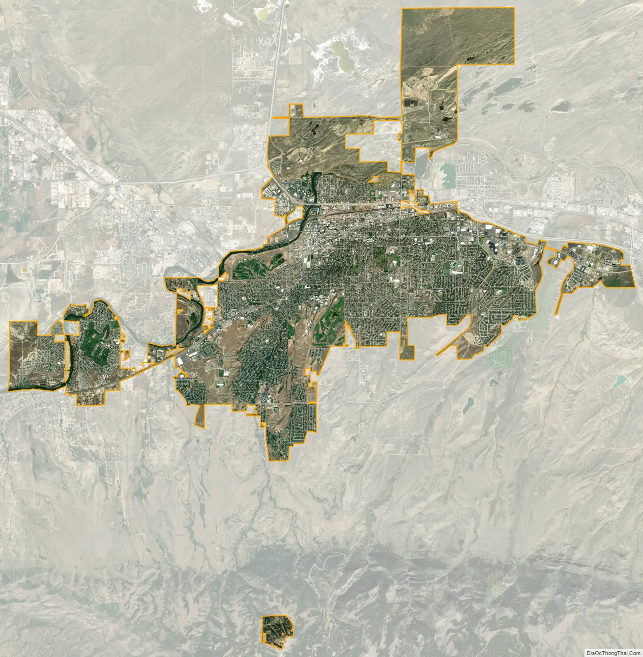
Casper city Satellite Map
Geography
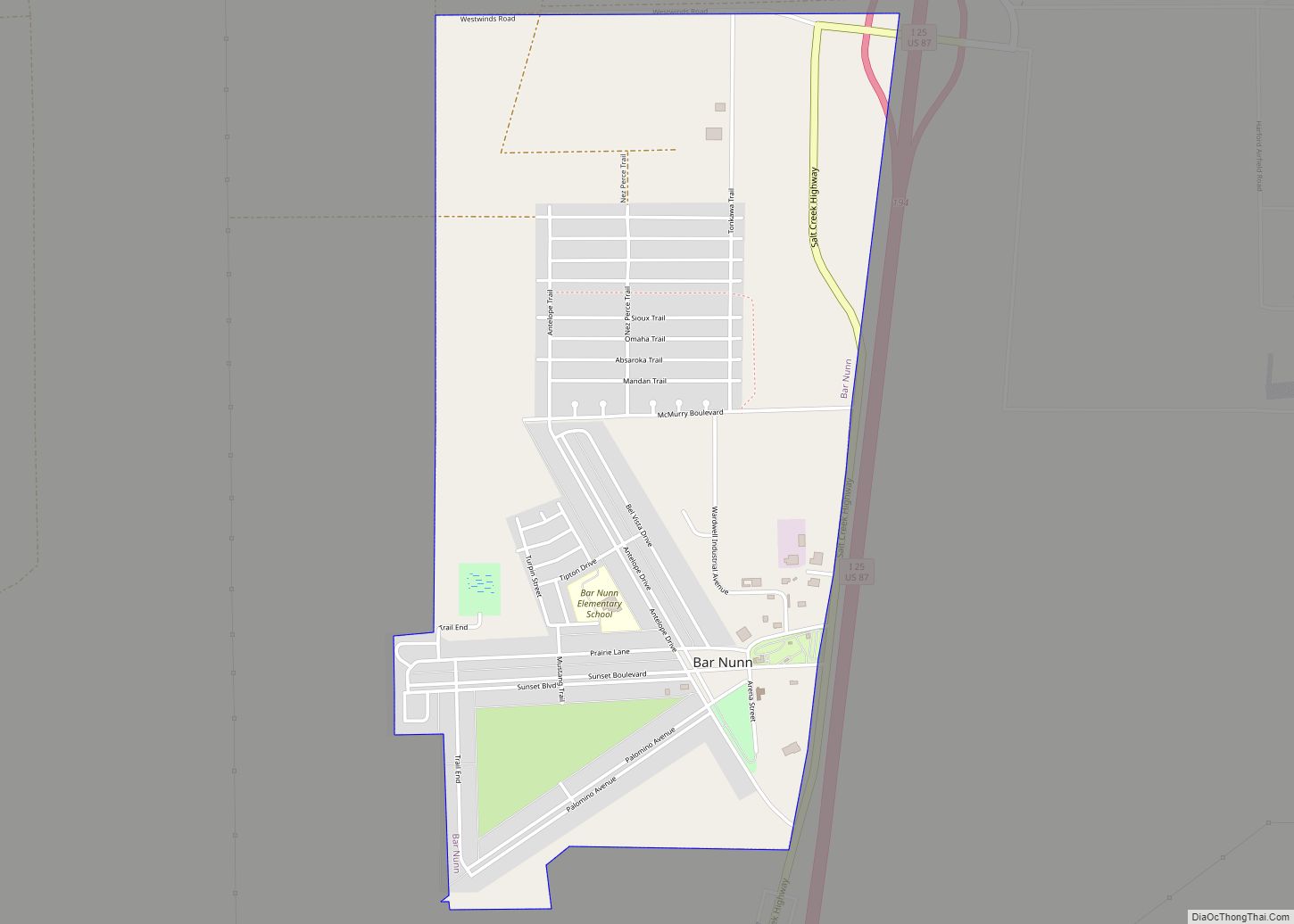
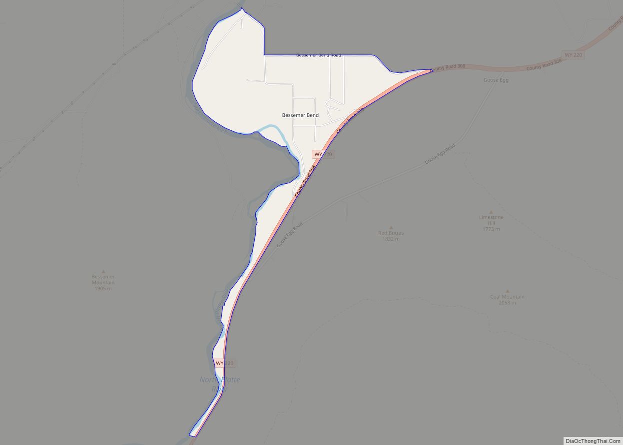
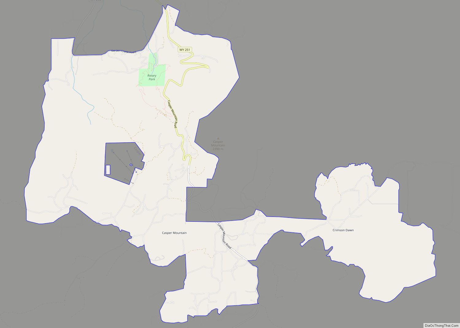
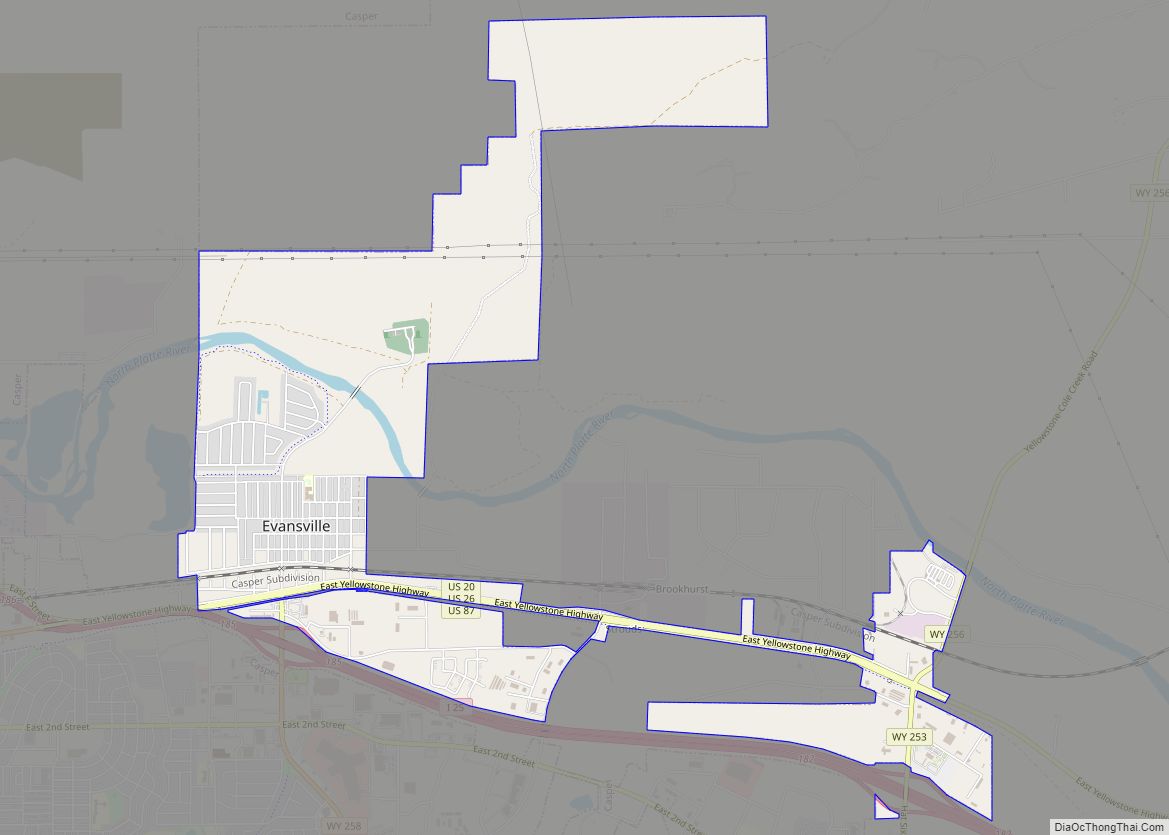
Interstate 25, which approaches Casper from the north and east, is the main avenue of transportation to and from the city. The towns immediately adjacent to Casper are Mills, Evansville, and Bar Nunn. Unincorporated areas include Allendale, Dempsey Acres, Red Buttes, Indian Springs, and several others.
According to the United States Census Bureau, the city has a total area of 27.24 square miles (70.55 km), of which 26.90 square miles (69.67 km) is land and 0.34 square miles (0.88 km) is water.
See also
Map of Wyoming State and its subdivision: Map of other states:- Alabama
- Alaska
- Arizona
- Arkansas
- California
- Colorado
- Connecticut
- Delaware
- District of Columbia
- Florida
- Georgia
- Hawaii
- Idaho
- Illinois
- Indiana
- Iowa
- Kansas
- Kentucky
- Louisiana
- Maine
- Maryland
- Massachusetts
- Michigan
- Minnesota
- Mississippi
- Missouri
- Montana
- Nebraska
- Nevada
- New Hampshire
- New Jersey
- New Mexico
- New York
- North Carolina
- North Dakota
- Ohio
- Oklahoma
- Oregon
- Pennsylvania
- Rhode Island
- South Carolina
- South Dakota
- Tennessee
- Texas
- Utah
- Vermont
- Virginia
- Washington
- West Virginia
- Wisconsin
- Wyoming