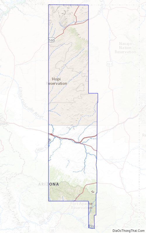
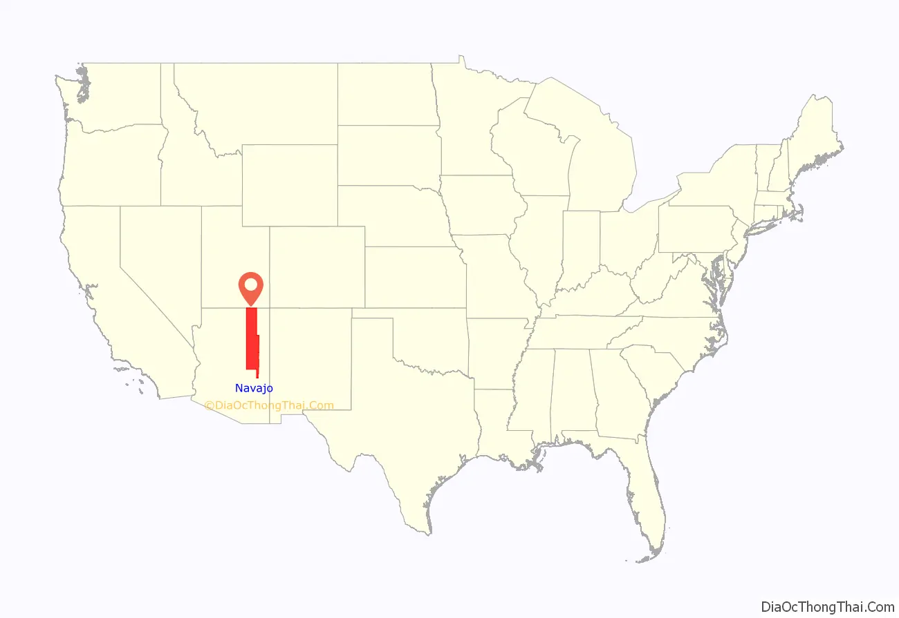
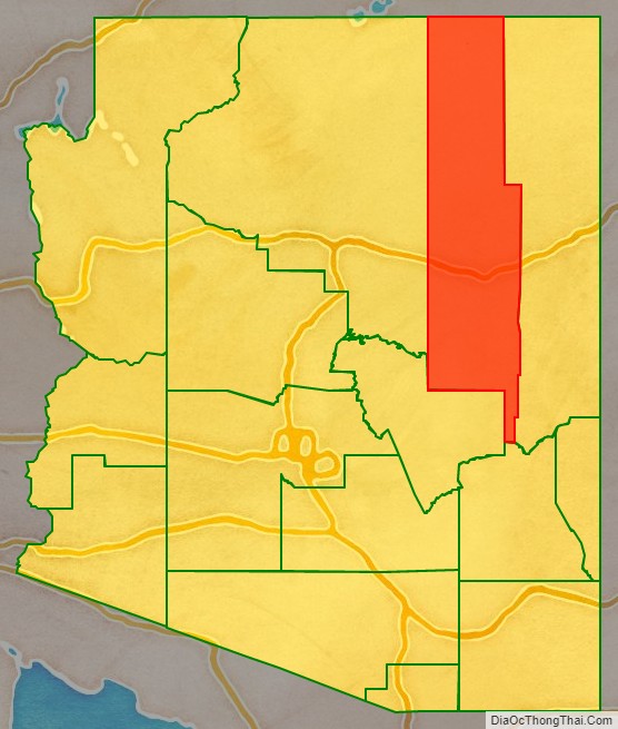
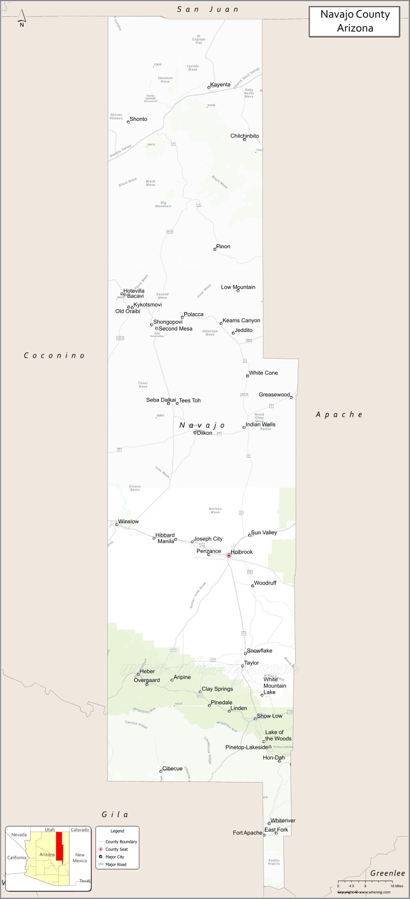
Navajo County (Navajo: Tʼiisyaakin Áłtsʼíísí Bił Hahoodzo) is in the northern part of the U.S. state of Arizona. As of the 2020 census, its population was 106,717. The county seat is Holbrook.
Navajo County comprises the Show Low, Arizona Micropolitan Statistical Area.
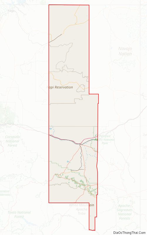
Navajo County contains parts of the Hopi Indian reservation, the Navajo Nation, and Fort Apache Indian Reservation.
| Name: | Navajo County |
|---|---|
| FIPS code: | 04-017 |
| State: | Arizona |
| Founded: | March 21, 1895 |
| Named for: | Navajo Nation |
| Seat: | Holbrook |
| Largest city: | Show Low |
| Total Area: | 9,960 sq mi (25,800 km²) |
| Land Area: | 9,950 sq mi (25,800 km²) |
| Total Population: | 106,717 |
| Population Density: | 11/sq mi (4.1/km²) |
| Time zone: | UTC−7 (Mountain) |
| Website: | www.navajocountyaz.gov |
History
Navajo County was split from Apache County on March 21, 1895. The first county sheriff was Commodore Perry Owens, a legendary gunman who had previously served as the sheriff of Apache County. It was the location for many of the events of the Pleasant Valley War.
Geography
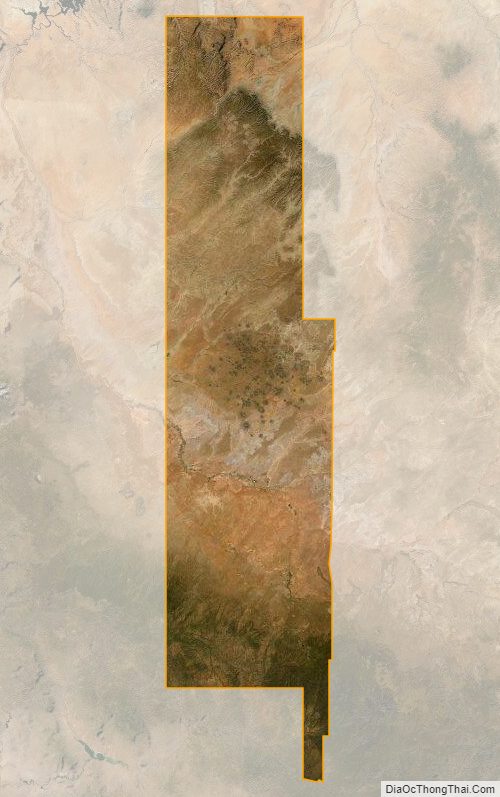
According to the United States Census Bureau, the county has a total area of 9,960 square miles (25,800 km), of which 9,950 square miles (25,800 km) is land and 9.3 square miles (24 km) (0.09%) is water.
Navajo County offers not only the Monument Valley, but Keams Canyon, part of the Petrified Forest National Park, and one of the largest contiguous ponderosa pine forest in North America.
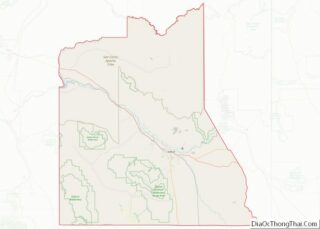
Adjacent counties
- Apache County – east
- Graham County – south
- Gila County – southwest
- Coconino County – west
- San Juan County, Utah – north
Indian reservations
Navajo County has 6,632.73 square miles (17,178.7 km) of federally designated Indian reservation within its borders, the third most of any county in the United States (neighboring Apache County and Coconino County are first and second). In descending order of territory within the county, the reservations are the Navajo Nation, Hopi Indian Reservation, and Fort Apache Indian Reservation, all of which are partly located within Navajo County.
National protected areas
- Apache-Sitgreaves National Forest (part)
- Navajo National Monument
- Petrified Forest National Park (part)