Show Low is a city in Navajo County, Arizona. It lies on the Mogollon Rim in east central Arizona, at an elevation of 6,345 feet (1,934 m). The city was established in 1870 and incorporated in 1953. According to the 2010 census, the population of the city was 10,660.
| Name: | Show Low city |
|---|---|
| LSAD Code: | 25 |
| LSAD Description: | city (suffix) |
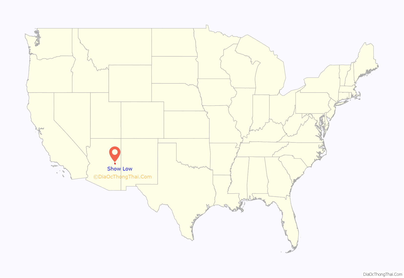
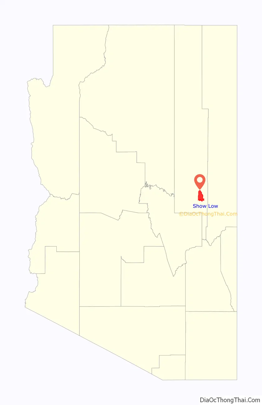
| State: | Arizona |
| County: | Navajo County |
| Founded: | 1870 |
| Incorporated: | 1953 |
| Elevation: | 6,349 ft (1,935 m) |
| Total Area: | 65.98 sq mi (170.88 km²) |
| Land Area: | 65.50 sq mi (169.66 km²) |
| Water Area: | 0.47 sq mi (1.23 km²) |
| Total Population: | 11,732 |
| Population Density: | 179.10/sq mi (69.15/km²) |
| Area code: | 928 |
| FIPS code: | 0466470 |
| Website: | www.ci.show-low.az.us |
Online Interactive Map
Click on ![]() to view map in "full screen" mode.
to view map in "full screen" mode.
Show Low location map. Where is Show Low city?
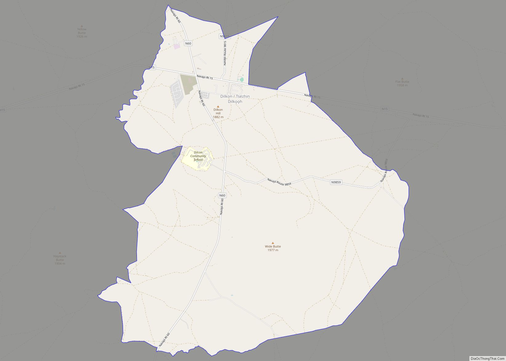
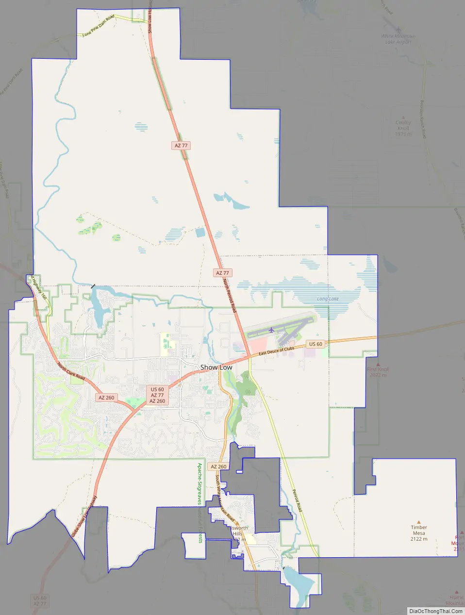
Show Low Road Map
Show Low city Satellite Map
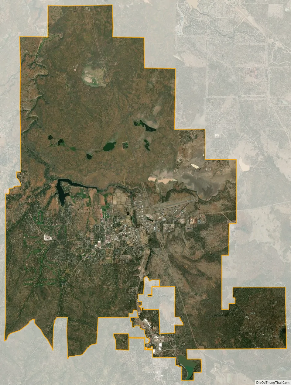
Geography
Show Low is located at 34°14′37″N 110°2′53″W / 34.24361°N 110.04806°W / 34.24361; -110.04806 (34.243595, -110.048173).
According to the United States Census Bureau, the city has a total area of 27.9 square miles (72 km), of which 27.9 square miles (72 km) is land and 0.1 square miles (0.26 km) (0.25%) is water.
Show Low is located roughly 270 miles from both Why and Nothing.
Climate
Winters in Show Low bring highs between 45 °F (7 °C) and 55 °F (13 °C), with lows usually below freezing between November and March, averaging in the 20s December through February, and in the low 30s for November and March.
In the summer, highs in Show Low average approximately 85 °F (29 °C), with an occasional day above 90 °F (32 °C) not uncommon for the city. As the sun sets in the summertime, temperatures plummet dramatically, sometimes upwards of 30 °F (17 °C). This nightly temperature swing results in summertime lows typically ranging between 50 °F (10 °C) and 60 °F (16 °C).
Show Low has reached below-freezing temperatures every month at least once in its history except July and August, where temperatures have only reached 38 °F (3 °C) and 37 °F (3 °C) respectively.
Show Low has twice reached 100 °F (38 °C), its record high temperature: once on May 31, 1969, and again on July 14, 2003. Show Low’s record low temperature of -25 °F (-32 °C) was set on January 8, 1971.
Show Low averages about 15.7 inches (400 mm) of rain per year.
The city has a Mediterranean climate (Köppen Csa). Unlike most locations with this climate, but similar to most of Arizona, the rainfall maximum is in the summer due to the North American Monsoon.
See also
Map of Arizona State and its subdivision: Map of other states:- Alabama
- Alaska
- Arizona
- Arkansas
- California
- Colorado
- Connecticut
- Delaware
- District of Columbia
- Florida
- Georgia
- Hawaii
- Idaho
- Illinois
- Indiana
- Iowa
- Kansas
- Kentucky
- Louisiana
- Maine
- Maryland
- Massachusetts
- Michigan
- Minnesota
- Mississippi
- Missouri
- Montana
- Nebraska
- Nevada
- New Hampshire
- New Jersey
- New Mexico
- New York
- North Carolina
- North Dakota
- Ohio
- Oklahoma
- Oregon
- Pennsylvania
- Rhode Island
- South Carolina
- South Dakota
- Tennessee
- Texas
- Utah
- Vermont
- Virginia
- Washington
- West Virginia
- Wisconsin
- Wyoming