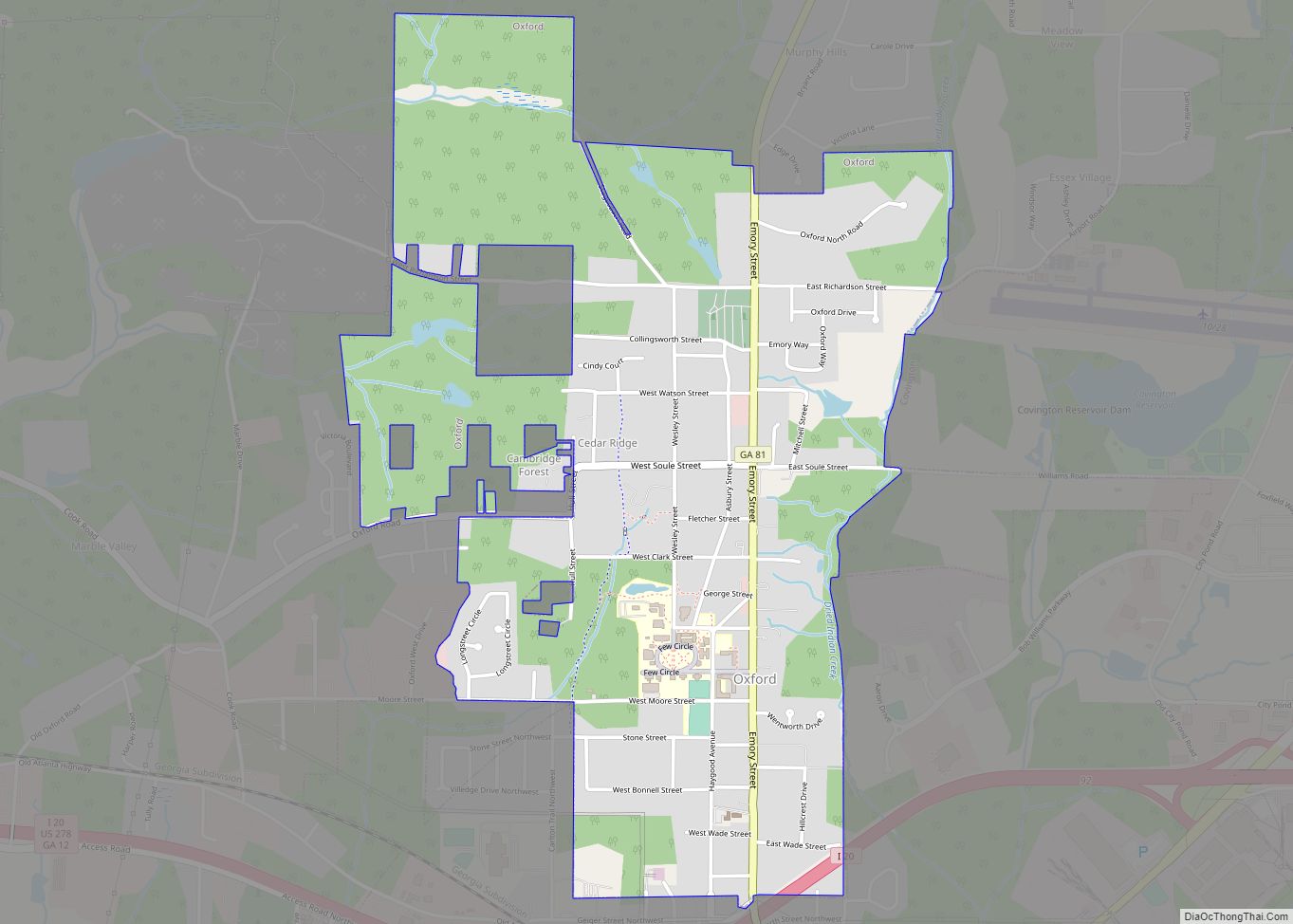
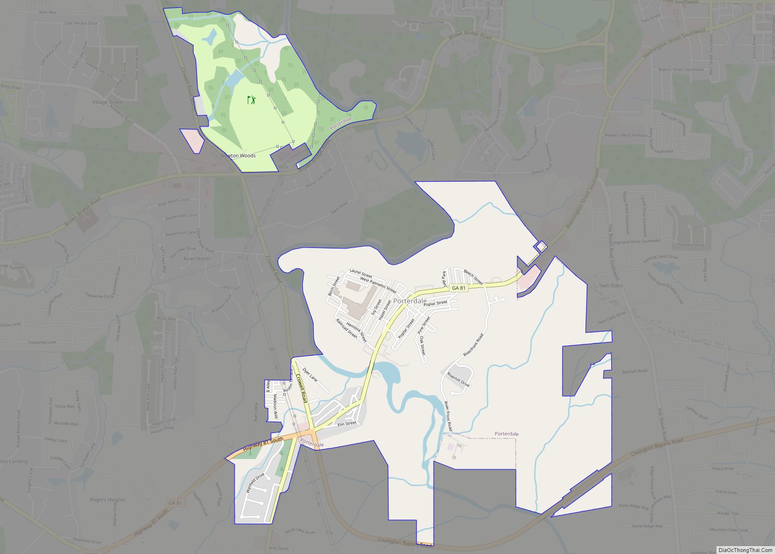
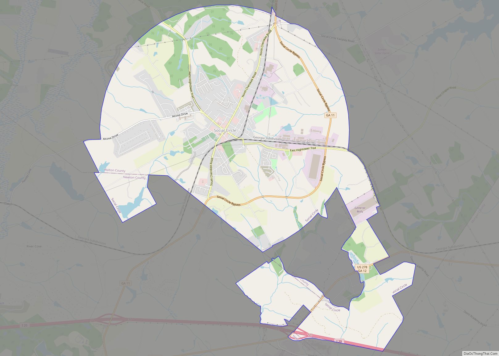
Newton County is a county located in the north central portion of the U.S. state of Georgia. As of the 2020 census, the population was 112,483. The county seat is Covington.
Newton County is included in the Atlanta-Sandy Springs-Roswell, GA Metropolitan Statistical Area.
| Name: | Newton County |
|---|---|
| FIPS code: | 13-217 |
| State: | Georgia |
| Founded: | 1821 |
| Named for: | John Newton |
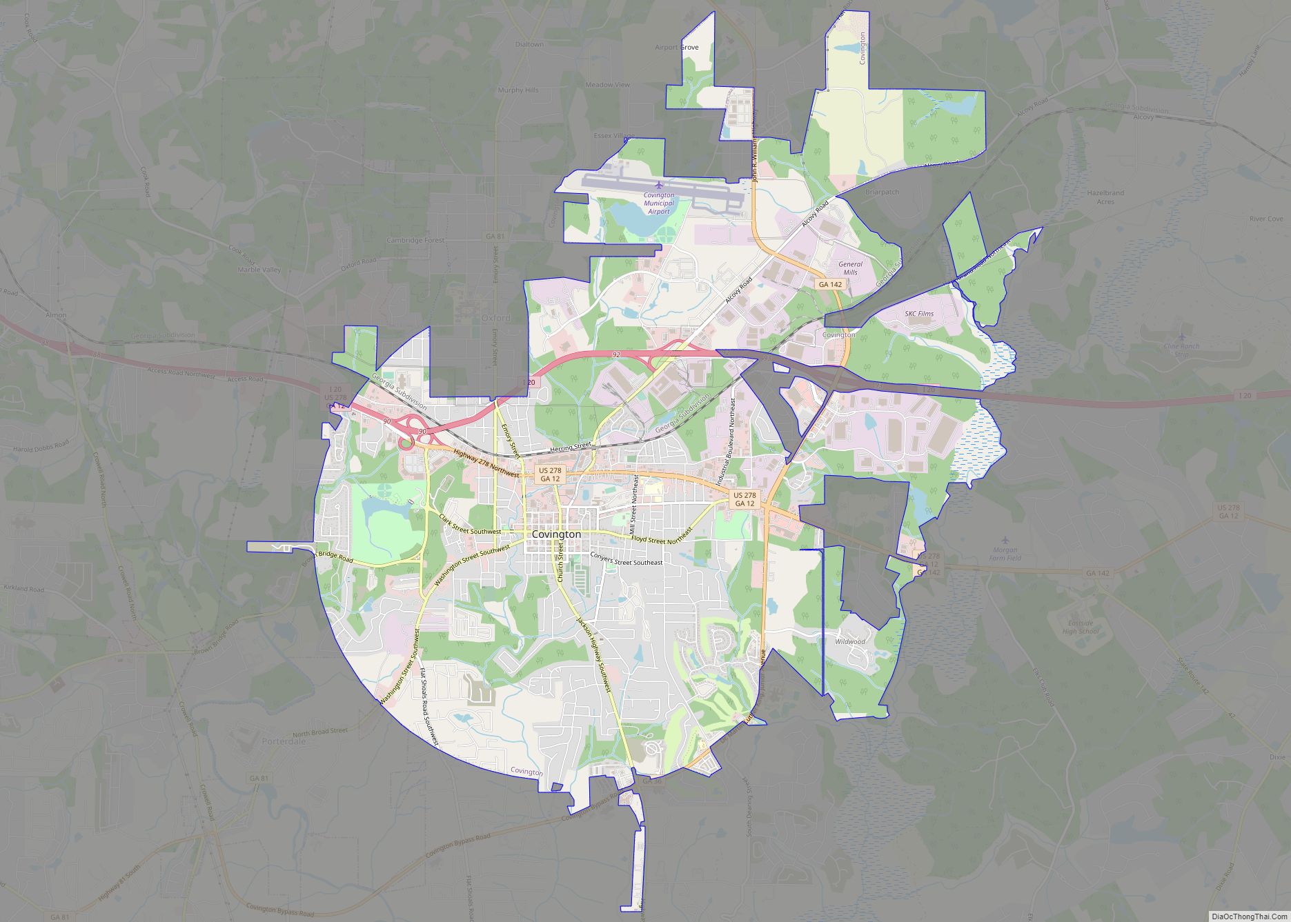
| Seat: | Covington |
| Largest city: | Covington |
| Total Area: | 279 sq mi (720 km²) |
| Land Area: | 272 sq mi (700 km²) |
| Total Population: | 112,483 |
| Time zone: | UTC−5 (Eastern) |
| Summer Time Zone (DST): | UTC−4 (EDT) |
| Website: | www.co.newton.ga.us |
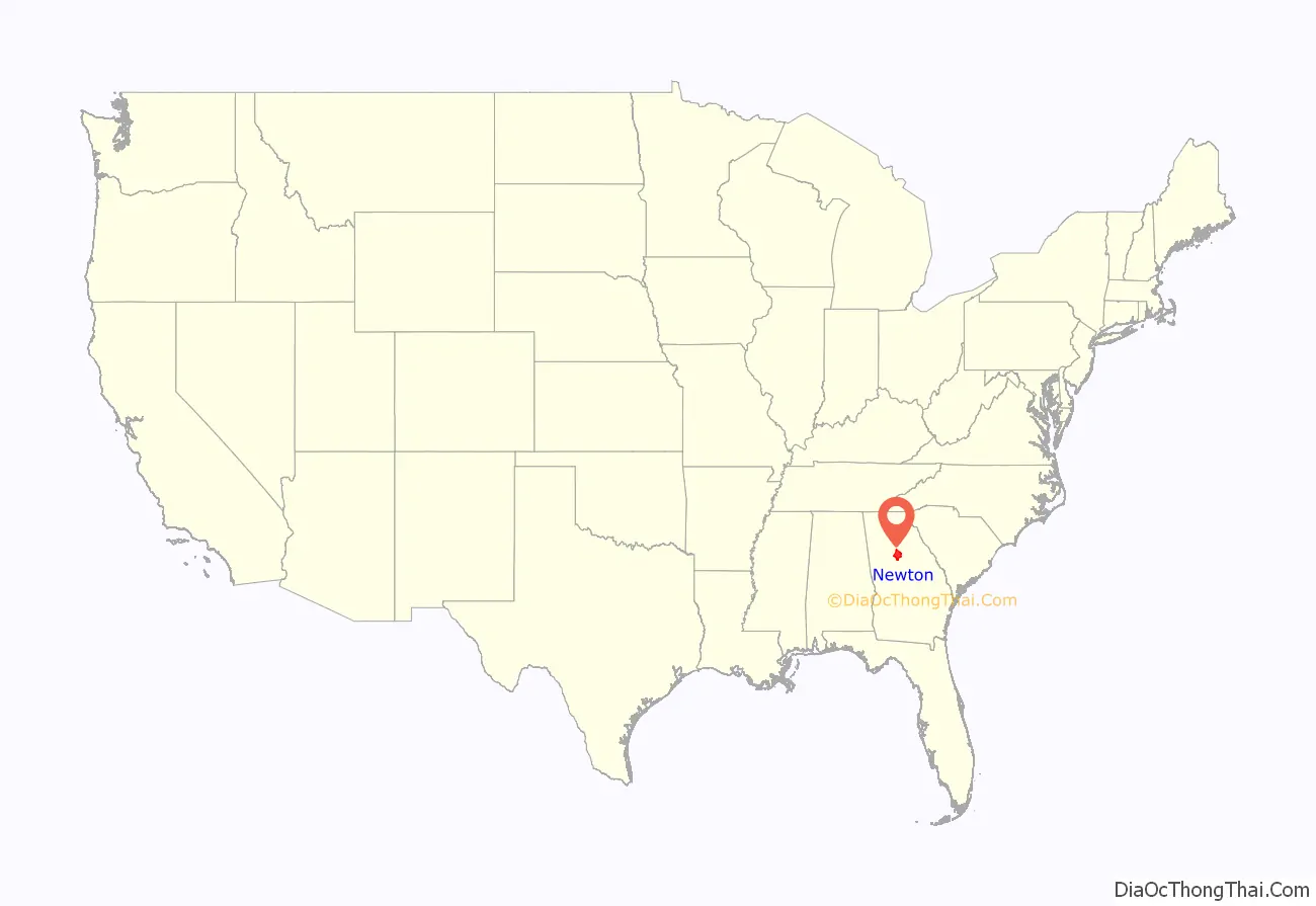
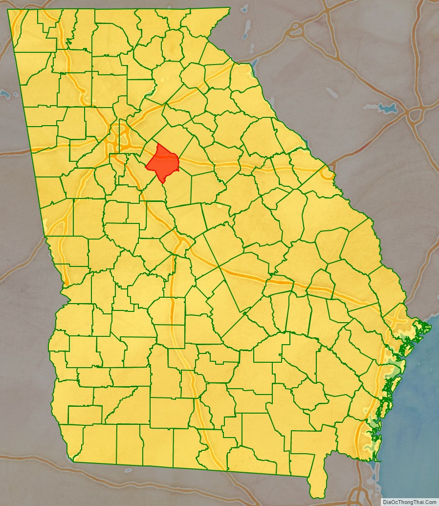
Newton County location map. Where is Newton County?
History
Newton county is named after Sgt. John Newton, who served under Gen. Francis Marion, the “Swamp Fox”, in the American Revolutionary War. It was created on December 24, 1821.
During the American Civil War, the county provided the Lamar Infantry, which was a part of Cobb’s Legion. The 1860 census shows the enslaved population was nearly half, 45.2 percent. Newton County adjoins Jasper County: Georgia is one of many states that have a Newton County and a Jasper County that border each other.
In late 1978, the first five episodes of The Dukes of Hazzard were filmed in and around Covington, Georgia. The TV series In The Heat of the Night was filmed in Covington from 1988 to 1995. Also, in Remember the Titans, there were many scenes shot on “The Square” and the final football scene was shot at Homer Sharp Stadium, which is located near downtown Covington. Currently part of the new series The Vampire Diaries is being filmed on “The Square”. Additionally, major films including My Cousin Vinny, Friday the 13th Part VI: Jason Lives and Halloween II, Rob Zombie’s sequel to his 2007 film Halloween, were also filmed near and around “The Square” in downtown Covington.
Newton County claims to be the birthplace of Georgia 4-H. Actually, the Girls Canning and Boys Corn Clubs in 1904 by G.C. Adams was renamed the 4-H Club in 1906, after the original 4-H Club that opened in Iowa in 1905.
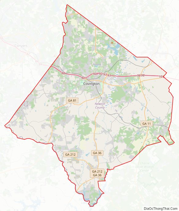
Newton County Road Map
Geography
According to the U.S. Census Bureau, the county has a total area of 279 square miles (720 km), of which 272 square miles (700 km) is land and 7.0 square miles (18 km) (2.5%) is water. The county is located in the Piedmont region of the state.
The majority of Newton County is located in the Upper Ocmulgee River sub-basin of the Altamaha River basin. A small eastern portion of the county, from southwest of Social Circle to southwest of Newborn, is located in the Upper Oconee River sub-basin of the same Altamaha River basin.
Major highways
- Interstate 20
- U.S. Route 278
- State Route 11
- State Route 12
- State Route 20
- State Route 36
- State Route 81
- State Route 138
- State Route 142
- State Route 162
- State Route 162 Connector
- State Route 212
- State Route 402 (unsigned designation for I-20)
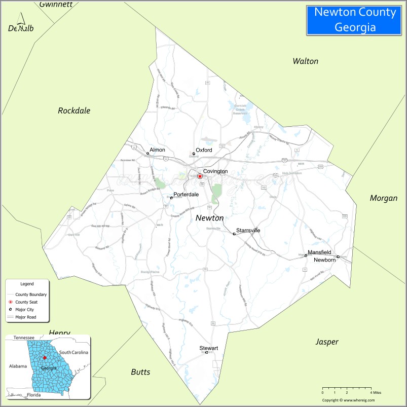
Adjacent counties
- Walton County (north)
- Morgan County (east)
- Jasper County (southeast)
- Butts County (south)
- Henry County (southwest)
- Rockdale County (northwest)
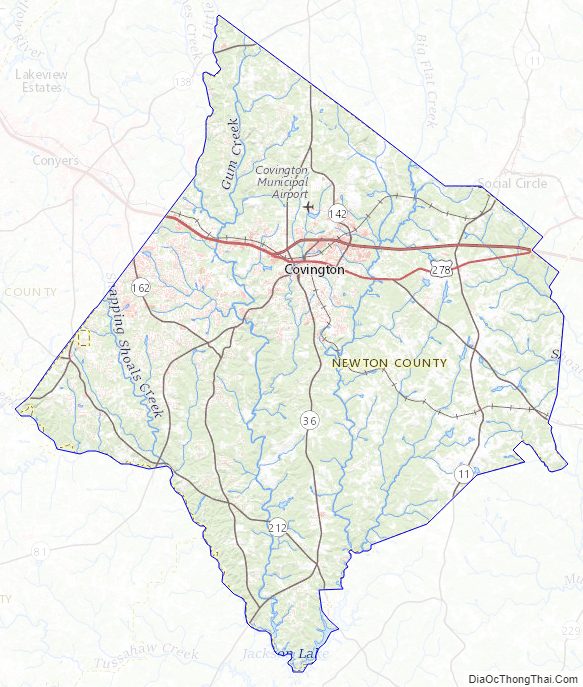
Newton County Topographic Map
Newton County Satellite Map
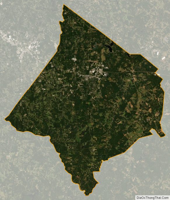
Newton County Outline Map