Covington is a city in the U.S. state of Georgia and the seat of Newton County, and is part of the Atlanta metropolitan area. As of the 2010 Census, its population 14,113.
| Name: | Covington city |
|---|---|
| LSAD Code: | 25 |
| LSAD Description: | city (suffix) |
| State: | Georgia |
| County: | Newton County |
| Elevation: | 741 ft (226 m) |
| Total Area: | 15.94 sq mi (41.28 km²) |
| Land Area: | 15.70 sq mi (40.66 km²) |
| Water Area: | 0.24 sq mi (0.62 km²) |
| Total Population: | 14,192 |
| Population Density: | 904.12/sq mi (349.08/km²) |
| ZIP code: | 30014-30016 |
| Area code: | 470/678/770 |
| FIPS code: | 1320064 |
| GNISfeature ID: | 0355354 |
| Website: | www.cityofcovington.org |
Online Interactive Map
Click on ![]() to view map in "full screen" mode.
to view map in "full screen" mode.
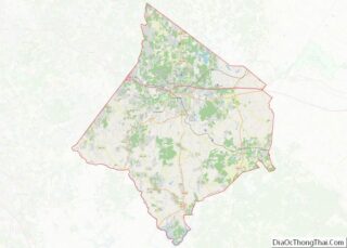
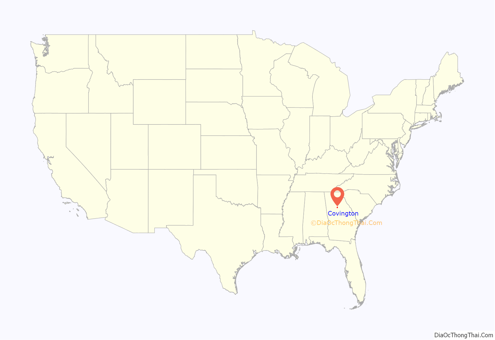
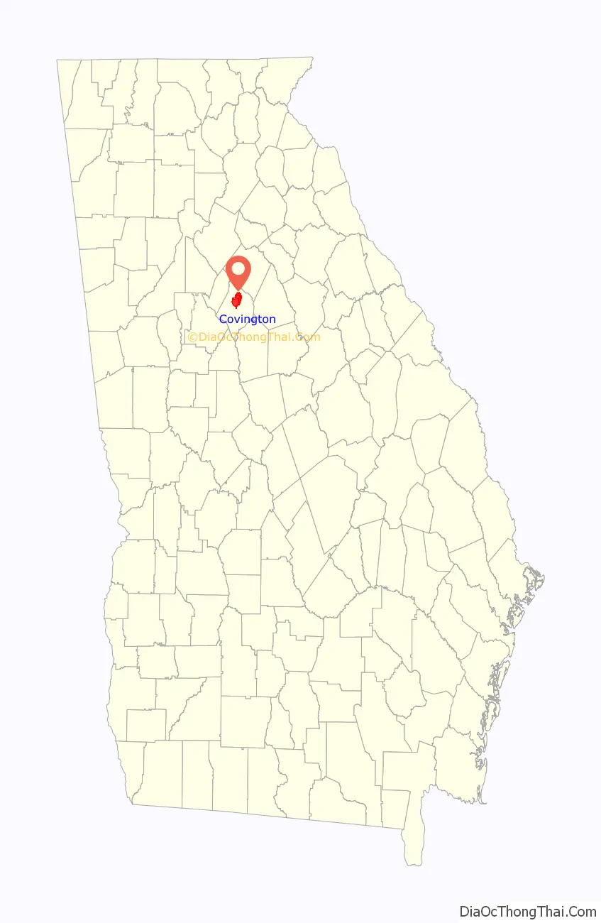
Covington location map. Where is Covington city?
History
Covington was founded by European immigrants to the United States. It was incorporated in 1821 as the seat of the newly organized Newton County. Covington was named for United States Army Brigadier General and United States Congressman Leonard Covington, a hero of the War of 1812. The settlement grew with the advent of the railroad in 1845. Covington incorporated as a city in 1854.
In 1864, General Sherman’s troops marched through during their March to the Sea. Although they looted the city, destroying numerous buildings, several antebellum homes were spared.
Historic districts
The Covington Historic District and the North Covington Historic District within the city are both listed on the National Register of Historic Places. The maps and materials describing these two districts are available for review through City Hall. The Covington Historic District contains Floyd Street and the downtown square. The North Covington Historic District contains North Emory Street and Odum Street as its hub. Both districts have an ordinance to preserve their character, regulating changes proposed for properties, and special permits may be required.
The Covington Mill Village is also a vital part of local history. The Starrsville Historic District, site of the historic settlement of Starrsville, is in the exurban area around Covington. The Newton County Courthouse, brick store, and Salem campground are separately NRHP-listed.
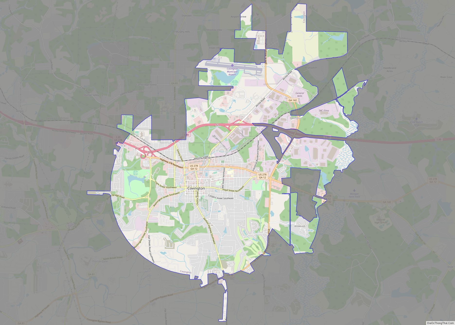
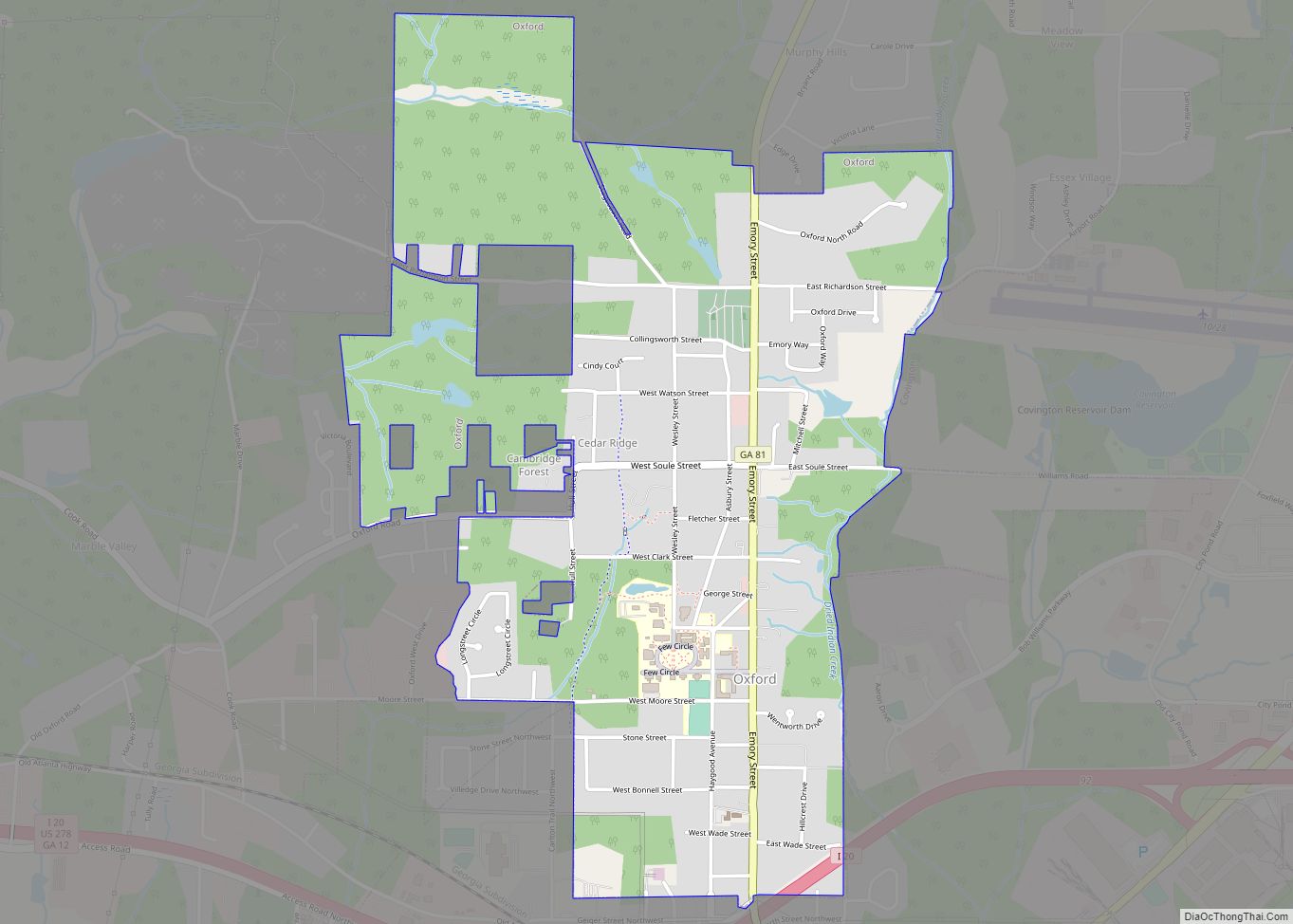
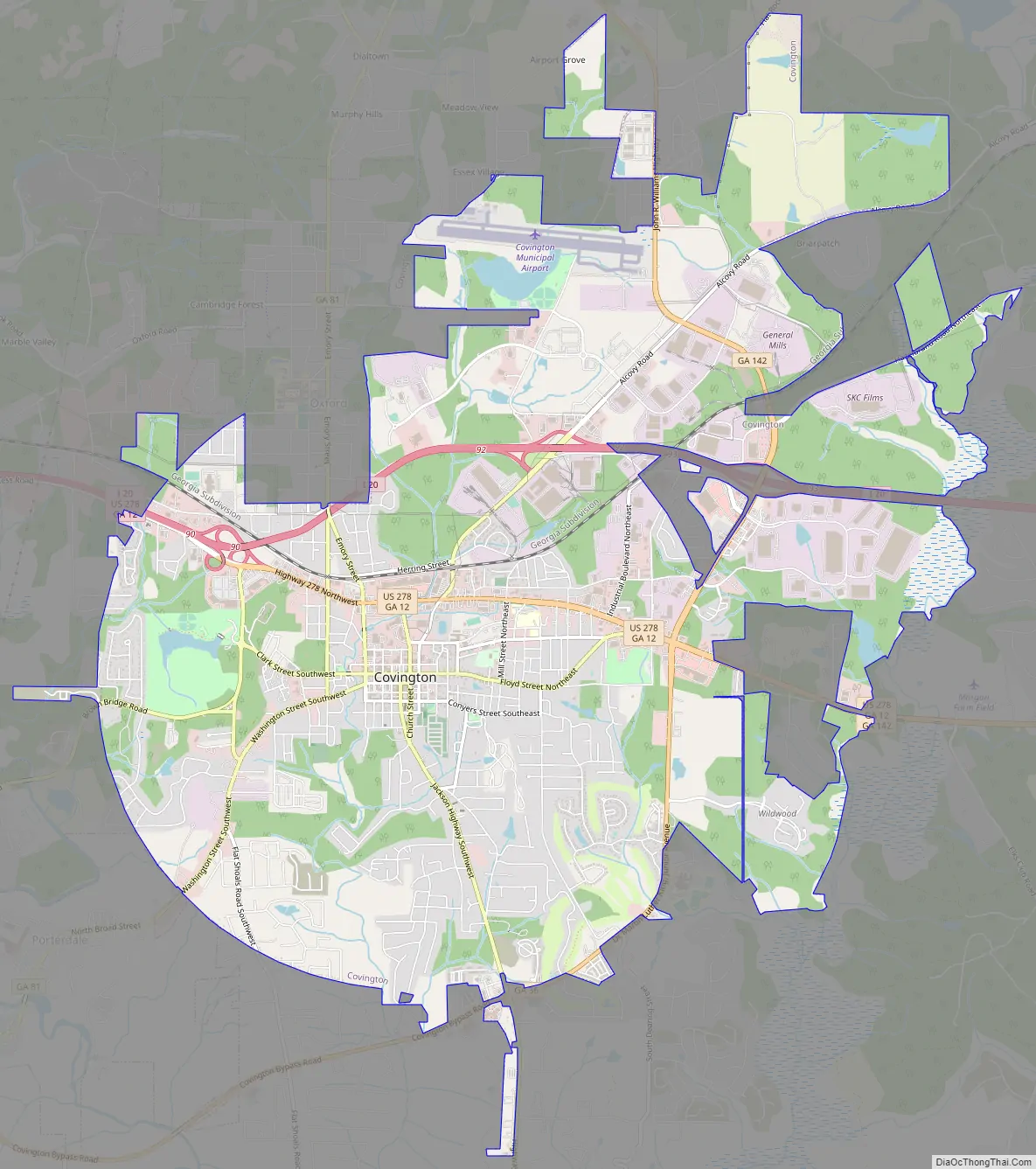
Covington Road Map
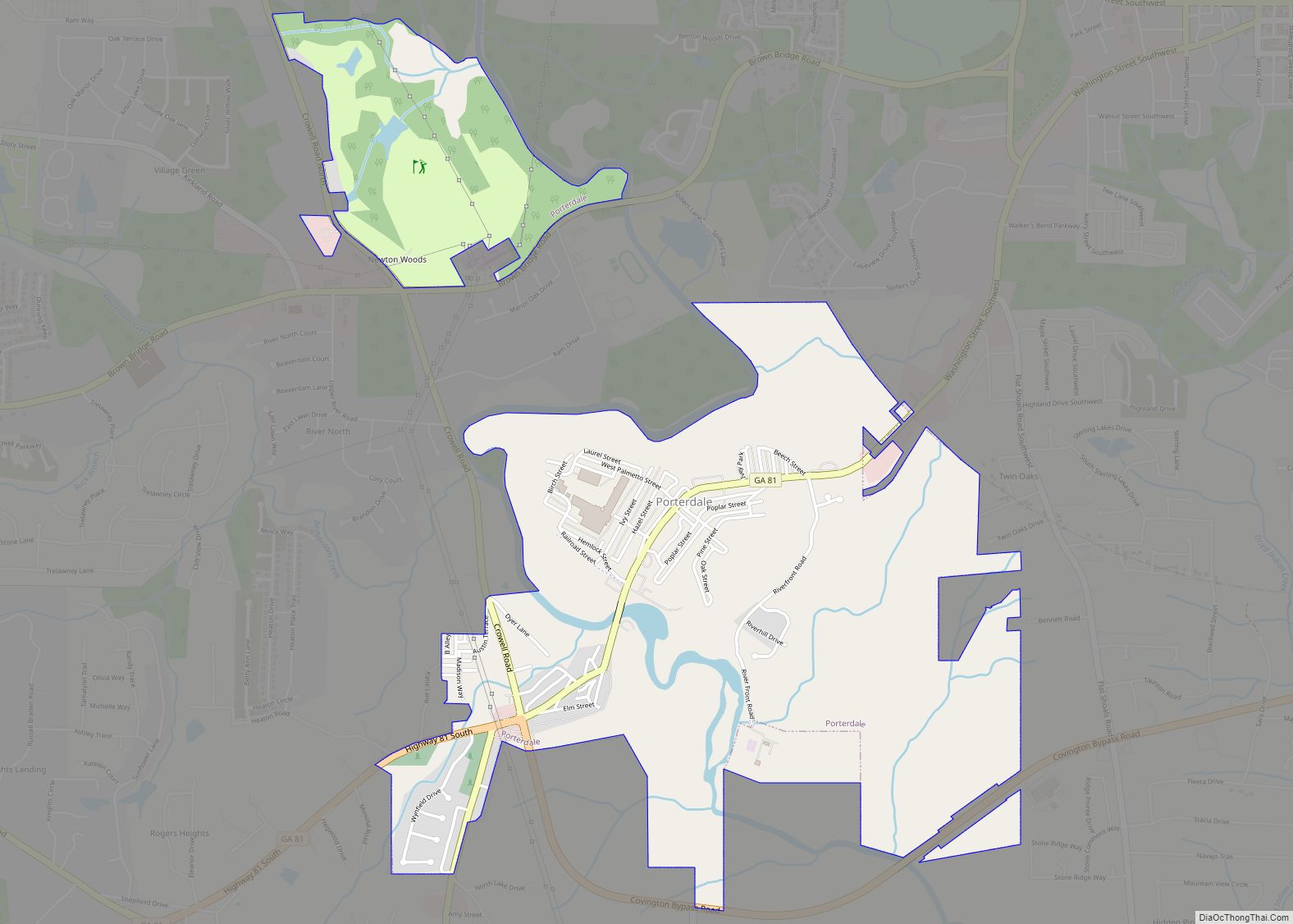
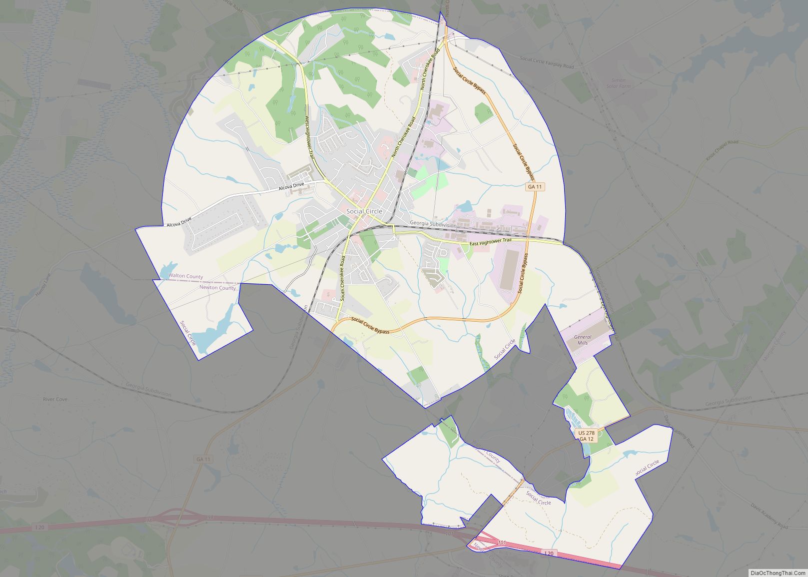
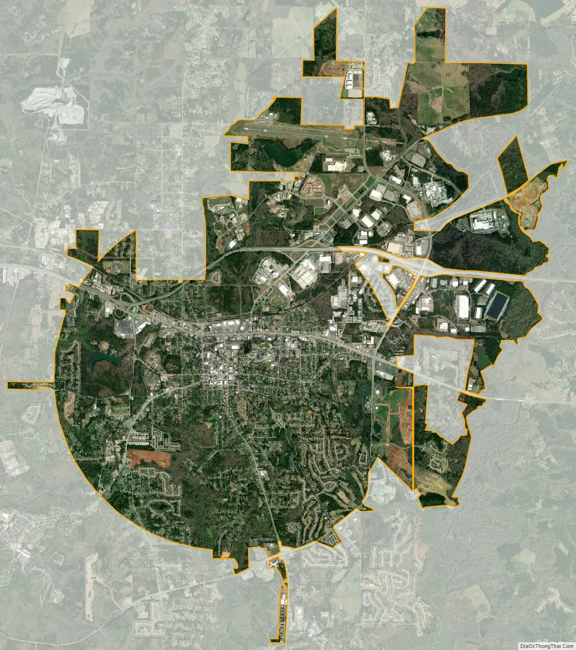
Covington city Satellite Map
Geography
Covington is located in north central Georgia, in the eastern part of Metro Atlanta. Interstate 20 runs to the north of the city, with access from exits 90, 92, and 93. Via I-20, downtown Atlanta is 35 mi (56 km) west, and Augusta is 112 mi (180 km) east. U.S. Route 278 also runs through the city, leading east 16 mi (26 km) to Rutledge and northwest 11 mi (18 km) to Conyers, concurrent with I-20. Other highways that run through the city include Georgia State Routes 36, 81, and 142.
According to the United States Census Bureau, the city has a total area of 13.9 square miles (36 km), of which 13.8 square miles (36 km) is land and 0.1 square miles (0.26 km) (0.72%) is water.
Climate
See also
Map of Georgia State and its subdivision:- Appling
- Atkinson
- Bacon
- Baker
- Baldwin
- Banks
- Barrow
- Bartow
- Ben Hill
- Berrien
- Bibb
- Bleckley
- Brantley
- Brooks
- Bryan
- Bulloch
- Burke
- Butts
- Calhoun
- Camden
- Candler
- Carroll
- Catoosa
- Charlton
- Chatham
- Chattahoochee
- Chattooga
- Cherokee
- Clarke
- Clay
- Clayton
- Clinch
- Cobb
- Coffee
- Colquitt
- Columbia
- Cook
- Coweta
- Crawford
- Crisp
- Dade
- Dawson
- Decatur
- DeKalb
- Dodge
- Dooly
- Dougherty
- Douglas
- Early
- Echols
- Effingham
- Elbert
- Emanuel
- Evans
- Fannin
- Fayette
- Floyd
- Forsyth
- Franklin
- Fulton
- Gilmer
- Glascock
- Glynn
- Gordon
- Grady
- Greene
- Gwinnett
- Habersham
- Hall
- Hancock
- Haralson
- Harris
- Hart
- Heard
- Henry
- Houston
- Irwin
- Jackson
- Jasper
- Jeff Davis
- Jefferson
- Jenkins
- Johnson
- Jones
- Lamar
- Lanier
- Laurens
- Lee
- Liberty
- Lincoln
- Long
- Lowndes
- Lumpkin
- Macon
- Madison
- Marion
- McDuffie
- McIntosh
- Meriwether
- Miller
- Mitchell
- Monroe
- Montgomery
- Morgan
- Murray
- Muscogee
- Newton
- Oconee
- Oglethorpe
- Paulding
- Peach
- Pickens
- Pierce
- Pike
- Polk
- Pulaski
- Putnam
- Quitman
- Rabun
- Randolph
- Richmond
- Rockdale
- Schley
- Screven
- Seminole
- Spalding
- Stephens
- Stewart
- Sumter
- Talbot
- Taliaferro
- Tattnall
- Taylor
- Telfair
- Terrell
- Thomas
- Tift
- Toombs
- Towns
- Treutlen
- Troup
- Turner
- Twiggs
- Union
- Upson
- Walker
- Walton
- Ware
- Warren
- Washington
- Wayne
- Webster
- Wheeler
- White
- Whitfield
- Wilcox
- Wilkes
- Wilkinson
- Worth
- Alabama
- Alaska
- Arizona
- Arkansas
- California
- Colorado
- Connecticut
- Delaware
- District of Columbia
- Florida
- Georgia
- Hawaii
- Idaho
- Illinois
- Indiana
- Iowa
- Kansas
- Kentucky
- Louisiana
- Maine
- Maryland
- Massachusetts
- Michigan
- Minnesota
- Mississippi
- Missouri
- Montana
- Nebraska
- Nevada
- New Hampshire
- New Jersey
- New Mexico
- New York
- North Carolina
- North Dakota
- Ohio
- Oklahoma
- Oregon
- Pennsylvania
- Rhode Island
- South Carolina
- South Dakota
- Tennessee
- Texas
- Utah
- Vermont
- Virginia
- Washington
- West Virginia
- Wisconsin
- Wyoming