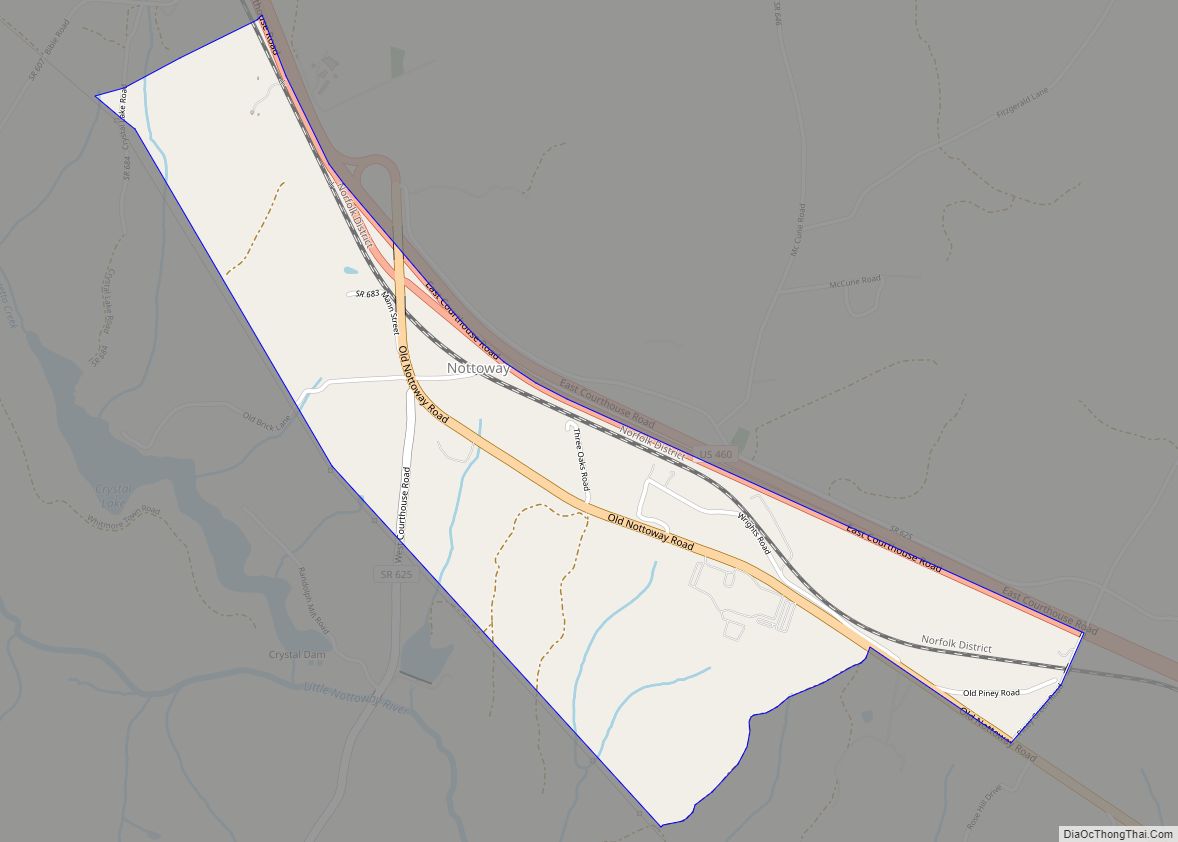
Nottoway County is a county located in the Commonwealth of Virginia. As of the 2020 census, the population was 15,642. Its county seat is Nottoway. It is situated south of the James River, thus making it a part of the Southside Virginia Region.
| Name: | Nottoway County |
|---|---|
| FIPS code: | 51-135 |
| State: | Virginia |
| Founded: | 1789 |
| Named for: | Nottoway people |
| Seat: | Nottoway |
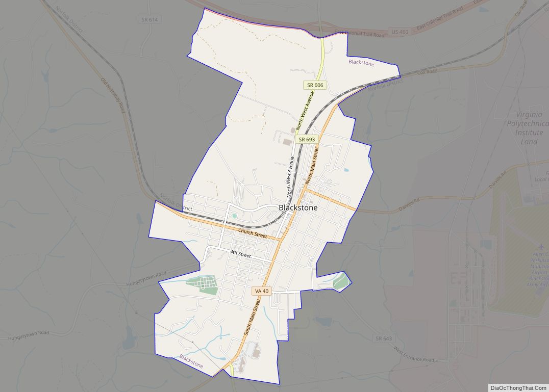
| Largest town: | Blackstone |
| Total Area: | 316 sq mi (820 km²) |
| Land Area: | 314 sq mi (810 km²) |
| Total Population: | 15,642 |
| Population Density: | 50/sq mi (19/km²) |
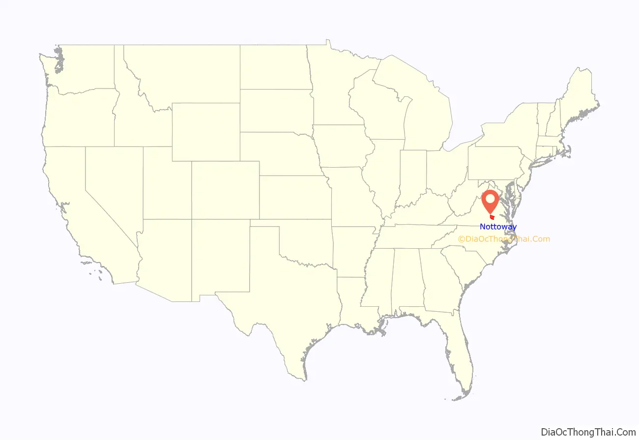
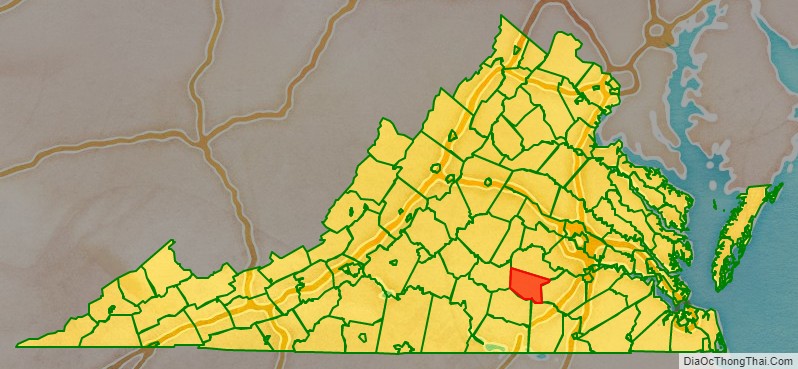
Nottoway County location map. Where is Nottoway County?
History
Prior to the arrival of European settlers, the land that would become Nottoway County was inhabited by American Indians of the Nadowa tribe, an Iroquoian people. They lived along the county’s only river, the Nadowa, an Algonquian word meaning rattlesnake, and became associated with the area they inhabited. The name was anglicized to ‘Nottoway’, and from this the name of the county was derived. The people of this “Nottoway Tribe”, now numbering between 400 and 500, call themselves Cheroenhaka, meaning “People At The Fork Of The Stream”.
Before the county established its own government, it was known as Nottoway Parish, a district of Amelia County. Nottoway Parish became Nottoway County by legislative act in 1788. The county contained numerous early crossroads settlements connecting the new western frontier with the population centers of Petersburg and Richmond to the north and east and until recent times owed much of its prosperity to tobacco. First coming to Nottoway in the 1850s, railroad construction and associated industries eventually came to represent a major portion of business in the area. In the 1860 census, 73.2% of the total population of Nottoway County were slaves, the highest percentage of any Virginia county.
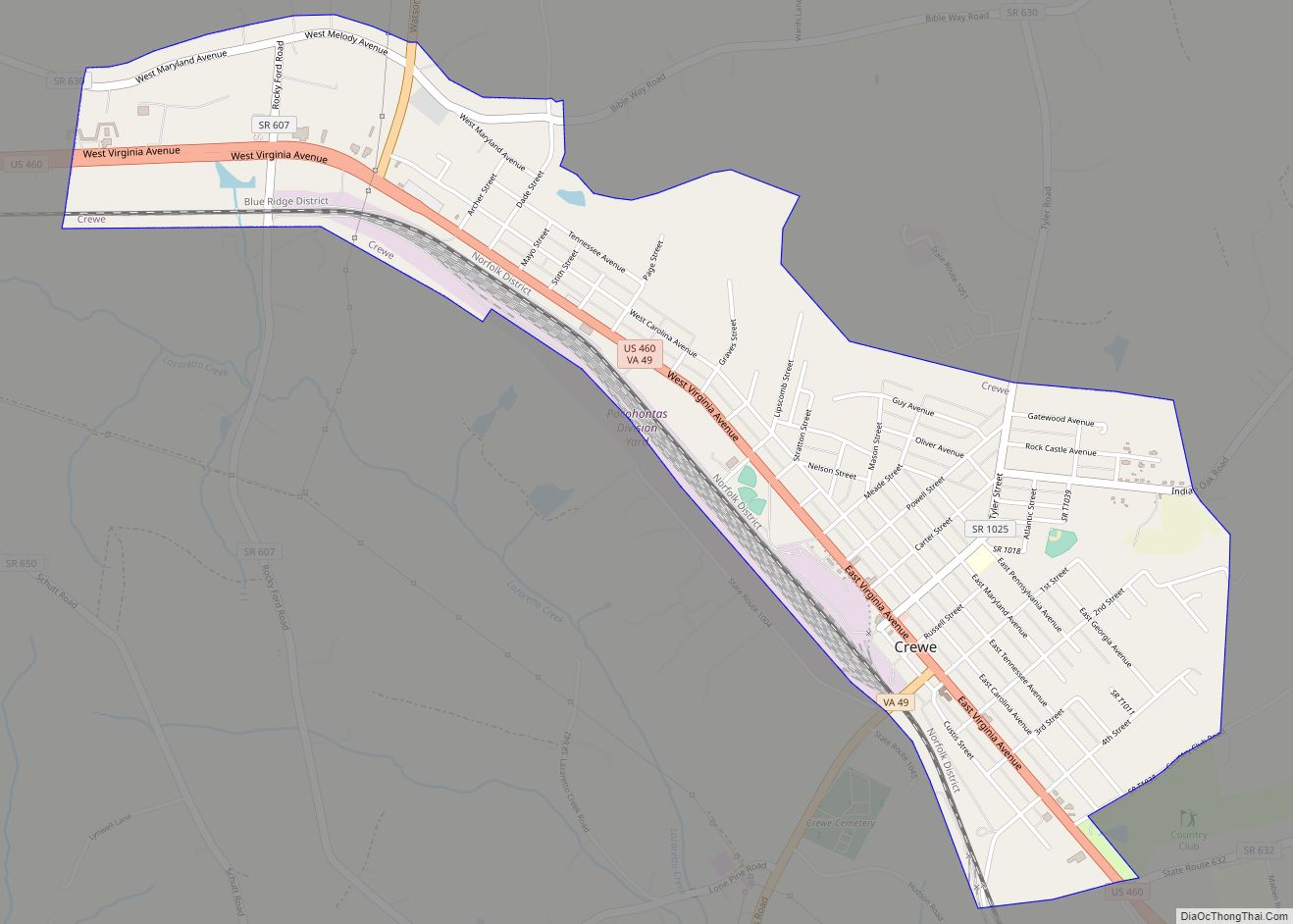
One of the county’s larger towns, Crewe, owes its existence to the railroad siding established at Robertson’s Switch in the 1880s. In recent decades, however, the decline of tobacco, the railroads, and Fort Pickett has presented the county, like much of Southside Virginia, with economic difficulties and led many Nottoway families to seek jobs and homes in Richmond and other prospering cities in central Virginia.
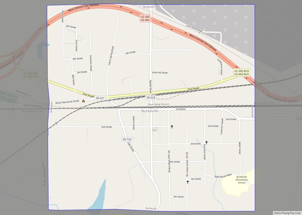
During the American Civil War, the county raised two infantry companies for the Confederate Army, the Nottoway Rifle Guards and the Nottoway Grays, Jeffress’ artillery battery, and the Nottoway Company E of the 3rd Virginia Cavalry. Both infantry companies served in the 18th Virginia Infantry Regiment and saw extensive service throughout the Eastern Theatre, most notably at the Battle of Gettysburg where they were at the forefront of Pickett’s Charge. The famous charge was disastrous to the 18th Virginia, and many families in Nottoway County lost relatives in it. The 18th Regiment’s colors were captured at the stone wall on Cemetery Ridge and are now displayed in Gettysburg. The county was the site of only one major skirmish, the “Battle of the Grove,” which was fought near Blackstone (then known as Blacks and Whites) for control of the rail line that supplied General Robert E. Lee’s Army of Northern Virginia, then entrenched around Petersburg and Richmond. The war’s last major battle before the surrender at Appomattox was fought at Sayler’s Creek, west of Burkeville near the Nottaway County line, on April 6, 1865 (see article on Burkeville).
Nottoway’s three towns were incorporated in the late 1800s, all along what was to become the U.S. Highway 460/Norfolk Southern Railway corridor that bisects the county. Industrialization blossomed at the same time, exploiting the ease of moving raw materials in and finished products out. County manufacturing often utilized the area’s abundant natural resources, particularly agricultural products, timber, and wood products.
The 20th century saw an increase in the diversification of the county in its agricultural, industrial and commercial sectors. During this time, major state and federal facilities were created in the county. Fort Pickett, established at the outbreak of World War II, is now headquarters of the Virginia National Guard.
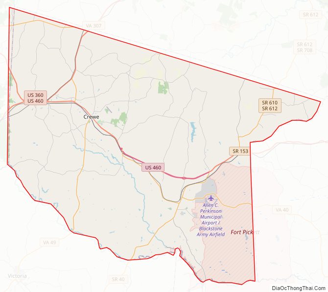
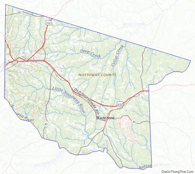
Nottoway County Road Map
Geography
According to the U.S. Census Bureau, the county has a total area of 316 square miles (820 km), of which 314 square miles (810 km) is land and 1.7-square-mile (4.4 km) (0.5%) is water.
Adjacent counties
- Amelia County – north
- Dinwiddie County – east
- Brunswick County – southeast
- Lunenberg County – south
- Prince Edward County – west
Major highways
- US 360 (W & E Patrick Henry Hwy; joins with US 460 in Burkeville)
- US 460 (W & E Colonial Trail Hwy. US Bus 460 goes through Nottoway Courthouse to Blackstone. US 460 bypasses Blackstone and unites before the junction of SR 153)
- SR 40 (S. Main St & Dinwiddie Ave in Blackstone, Kenbridge Rd, Darvills Rd)
- SR 46 (Christianna Hwy)
- SR 49 (Watsons Wood Rd N of Crewe, unites with US 460 in Crewe, The Falls Rd S of Crewe)
- SR 153 (Rocky Hill Rd)
- SR 307 (Holly Farms Rd)
Nottoway County Topographic Map
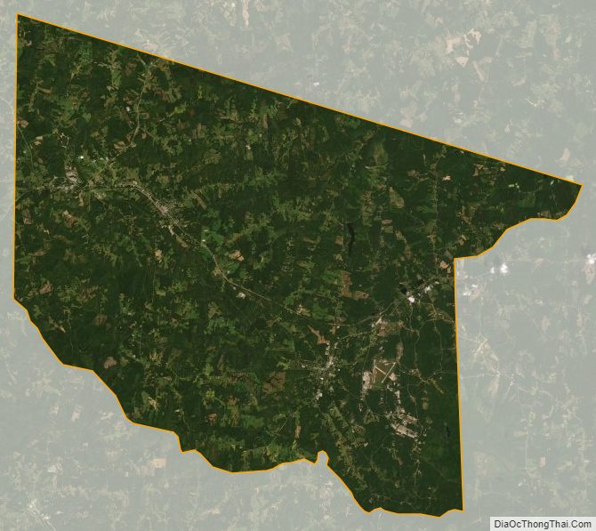
Nottoway County Satellite Map
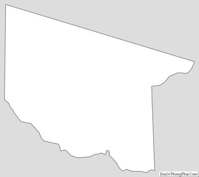
Nottoway County Outline Map