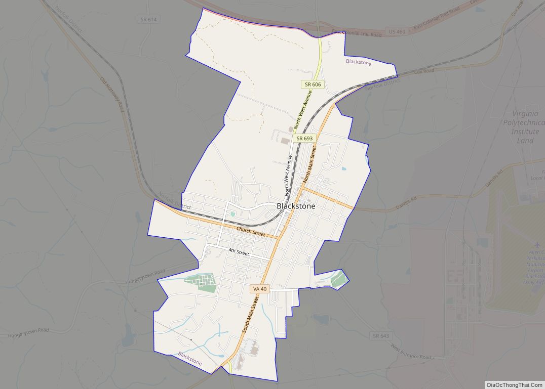
Blackstone, formerly named Blacks and Whites, and then Bellefonte, is a town in Nottoway County in the U.S. state of Virginia. The population was 3,621 at the 2010 census.
| Name: | Blackstone town |
|---|---|
| LSAD Code: | 43 |
| LSAD Description: | town (suffix) |
| State: | Virginia |
| County: | Nottoway County |
| Elevation: | 453 ft (138 m) |
| Total Area: | 4.51 sq mi (11.69 km²) |
| Land Area: | 4.50 sq mi (11.64 km²) |
| Water Area: | 0.02 sq mi (0.05 km²) |
| Total Population: | 3,621 |
| Population Density: | 740.60/sq mi (285.96/km²) |
| ZIP code: | 23824 |
| Area code: | 434 |
| FIPS code: | 5107832 |
| GNISfeature ID: | 1463528 |
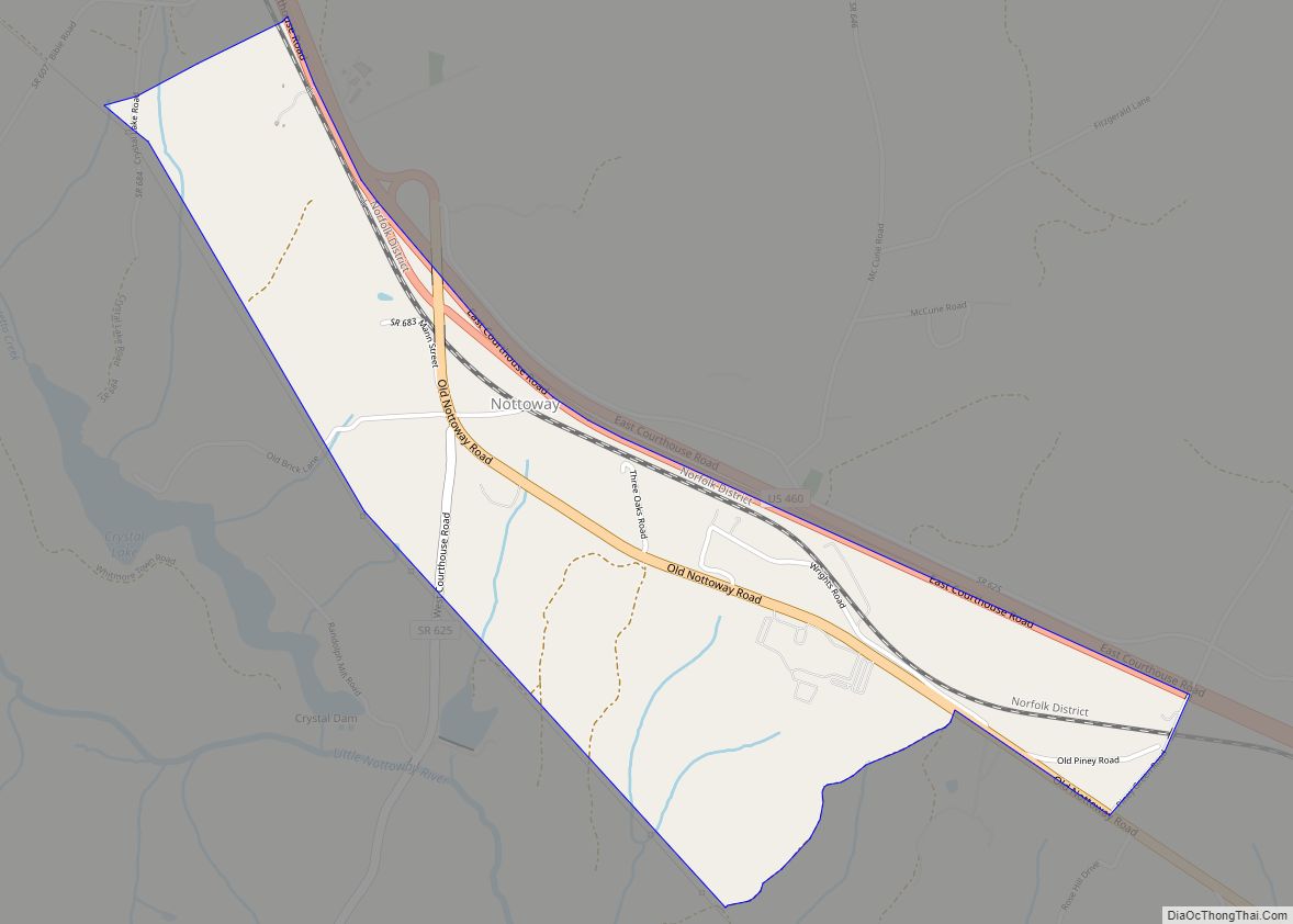
Online Interactive Map
Click on ![]() to view map in "full screen" mode.
to view map in "full screen" mode.
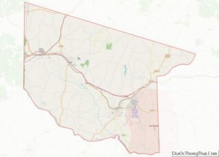
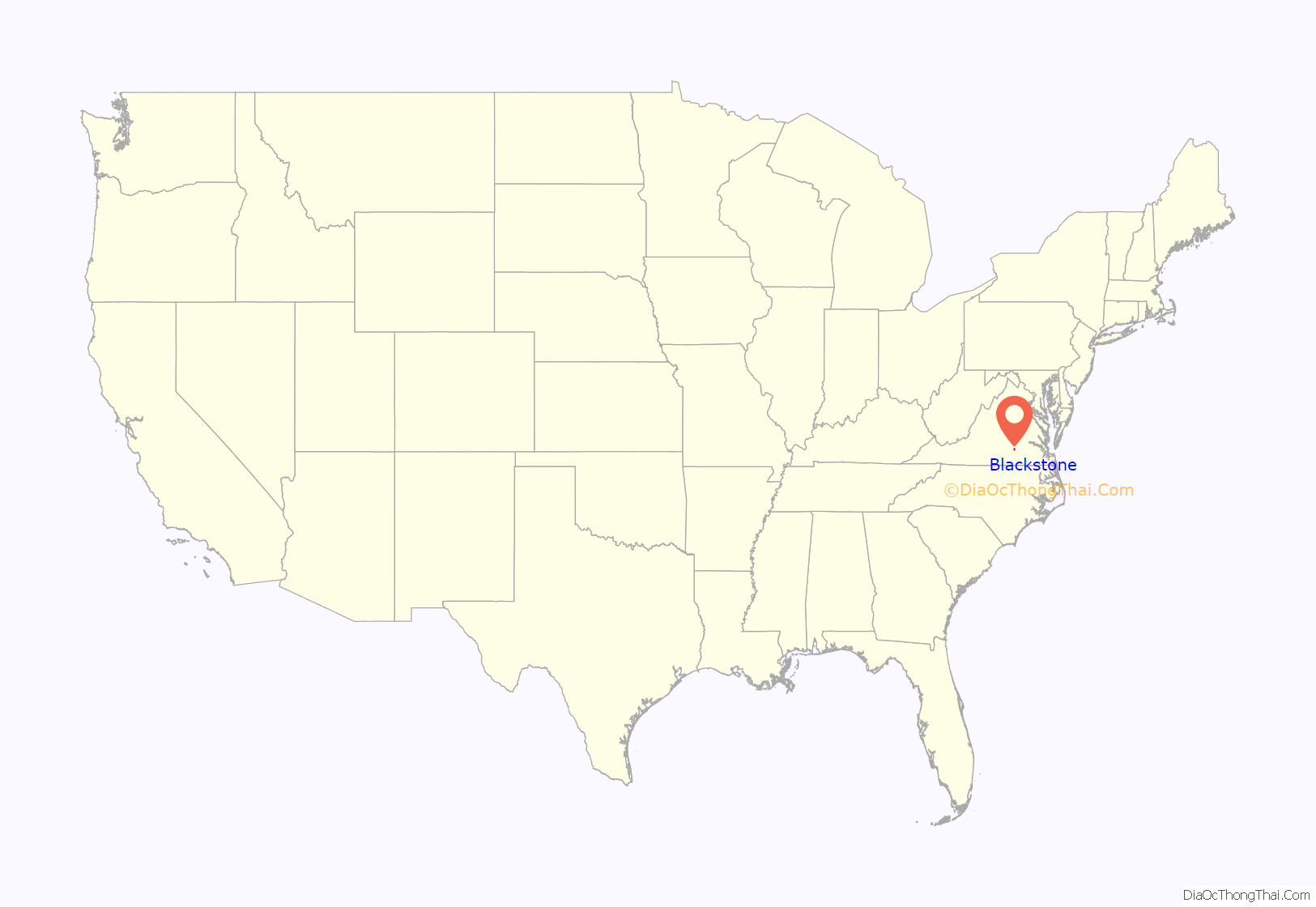
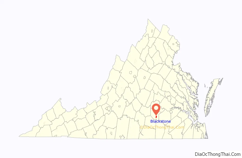
Blackstone location map. Where is Blackstone town?
History
The settlement was founded as the village of “Blacks and Whites”, so named after two tavern keepers, before the Revolutionary War. It was renamed Bellefonte on May 11, 1875, and back to Blacks and Whites on August 4, 1882. On February 23, 1886, the town was incorporated with the name of Blackstone, in honor of the influential English jurist William Blackstone.
The Blackstone Historic District, Butterwood Methodist Church and Butterwood Cemetery, Little Mountain Pictograph Site, Oakridge, and Schwartz Tavern are listed on the National Register of Historic Places.
The town, under its former name, was a stop on the Southside Railroad in the mid-nineteenth century. The railroad became the Atlantic, Mississippi and Ohio Railroad in 1870 and then a line in the Norfolk and Western Railway, now the Norfolk Southern Railway. The town’s grid street pattern was laid out in 1874, and the town incorporated in 1888. Its economy thrived as a location for dark-leaf tobacco sales and shipment through its railroad station.
Blackstone Road Map
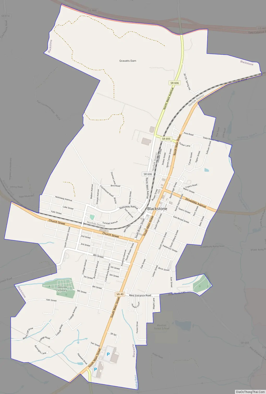
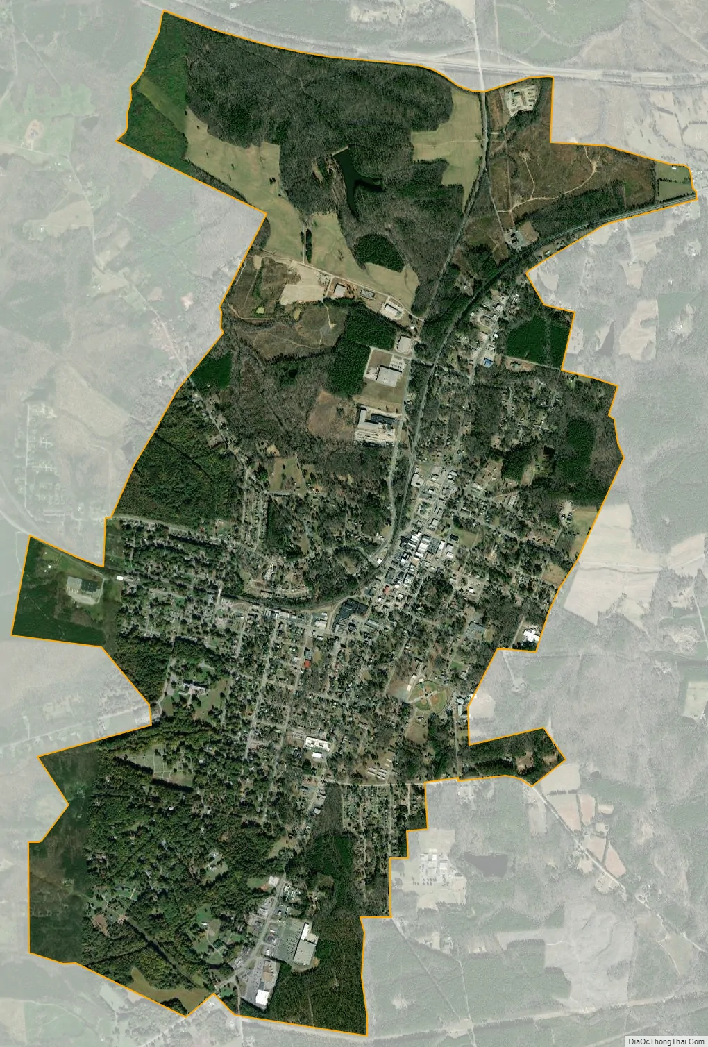
Blackstone city Satellite Map
Geography
Blackstone is located at 37°4′36″N 78°0′5″W / 37.07667°N 78.00139°W / 37.07667; -78.00139 (37.076661, −78.001302).
According to the United States Census Bureau, the town has a total area of 4.6 square miles (11.8 km), of which 4.5 square miles (11.7 km) is land and 0.04 square miles (0.1 km) (0.44%) is water.
Climate
See also
Map of Virginia State and its subdivision:- Accomack
- Albemarle
- Alexandria
- Alleghany
- Amelia
- Amherst
- Appomattox
- Arlington
- Augusta
- Bath
- Bedford
- Bedford City
- Bland
- Botetourt
- Bristol
- Brunswick
- Buchanan
- Buckingham
- Buena Vista
- Campbell
- Caroline
- Carroll
- Charles City
- Charlotte
- Charlottesville
- Chesapeake
- Chesterfield
- Clarke
- Clifton Forge City
- Colonial Heights
- Covington
- Craig
- Culpeper
- Cumberland
- Danville
- Dickenson
- Dinwiddie
- Emporia
- Essex
- Fairfax
- Fairfax City
- Falls Church
- Fauquier
- Floyd
- Fluvanna
- Franklin
- Frederick
- Fredericksburg
- Galax
- Giles
- Gloucester
- Goochland
- Grayson
- Greene
- Greensville
- Halifax
- Hampton
- Hanover
- Harrisonburg
- Henrico
- Henry
- Highland
- Hopewell
- Isle of Wight
- James City
- King and Queen
- King George
- King William
- Lancaster
- Lee
- Lexington
- Loudoun
- Louisa
- Lunenburg
- Lynchburg
- Madison
- Manassas
- Manassas Park
- Martinsville
- Mathews
- Mecklenburg
- Middlesex
- Montgomery
- Nelson
- New Kent
- Newport News
- Norfolk
- Northampton
- Northumberland
- Norton
- Nottoway
- Orange
- Page
- Patrick
- Petersburg
- Pittsylvania
- Poquoson
- Portsmouth
- Powhatan
- Prince Edward
- Prince George
- Prince William
- Pulaski
- Radford
- Rappahannock
- Richmond
- Roanoke
- Roanoke City
- Rockbridge
- Rockingham
- Russell
- Salem
- Scott
- Shenandoah
- Smyth
- Southampton
- Spotsylvania
- Stafford
- Staunton
- Suffolk
- Surry
- Sussex
- Tazewell
- Virginia Beach
- Warren
- Washington
- Waynesboro
- Westmoreland
- Williamsburg
- Winchester
- Wise
- Wythe
- York
- Alabama
- Alaska
- Arizona
- Arkansas
- California
- Colorado
- Connecticut
- Delaware
- District of Columbia
- Florida
- Georgia
- Hawaii
- Idaho
- Illinois
- Indiana
- Iowa
- Kansas
- Kentucky
- Louisiana
- Maine
- Maryland
- Massachusetts
- Michigan
- Minnesota
- Mississippi
- Missouri
- Montana
- Nebraska
- Nevada
- New Hampshire
- New Jersey
- New Mexico
- New York
- North Carolina
- North Dakota
- Ohio
- Oklahoma
- Oregon
- Pennsylvania
- Rhode Island
- South Carolina
- South Dakota
- Tennessee
- Texas
- Utah
- Vermont
- Virginia
- Washington
- West Virginia
- Wisconsin
- Wyoming